Primrose Hill

Hill, Mountain in Wiltshire

England

Primrose Hill

Chippenham Hospital, Wiltshire The main entrance to Chippenham Hospital.
Chippenham Hospital, Wiltshire Credit: Rebecca A Wills

Primrose Hill is a prominent geographical feature located in the county of Wiltshire, England. It is a hill, rather than a mountain, that rises to an elevation of approximately 288 meters (945 feet) above sea level. The hill is situated near the village of Malmesbury and lies within the Cotswolds Area of Outstanding Natural Beauty.

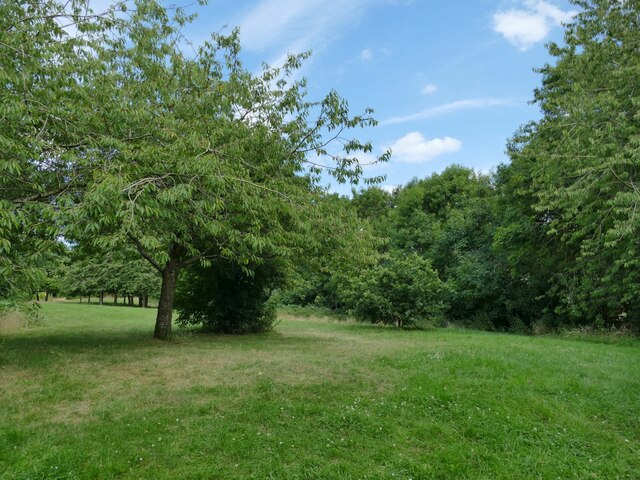
Primrose Hill offers breathtaking panoramic views of the surrounding countryside, making it a popular destination for hikers, nature enthusiasts, and photographers. The hill is covered in lush greenery, with its slopes adorned by various wildflowers, including primroses, which give it its name. During the spring months, the hill becomes a vibrant display of colorful blooms, adding to its natural charm.

The hill is accessible via several footpaths and trails, catering to both leisurely walkers and more adventurous hikers. These paths wind their way through picturesque meadows, woodlands, and open fields, allowing visitors to immerse themselves in the beauty of the Wiltshire countryside.

At the summit of Primrose Hill, visitors are rewarded with stunning vistas that stretch for miles. On clear days, it is possible to see as far as the Cotswold Hills, the Severn Estuary, and even the Brecon Beacons in Wales. This makes it an ideal spot for capturing breathtaking photographs or simply enjoying a peaceful moment surrounded by nature.

Primrose Hill is a cherished natural landmark in Wiltshire, offering a tranquil escape from the bustle of everyday life. Its beauty and serenity make it a must-visit destination for anyone seeking to explore the stunning countryside of this picturesque region.

If you have any feedback on the listing, please let us know in the comments section below.

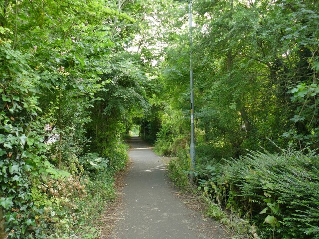
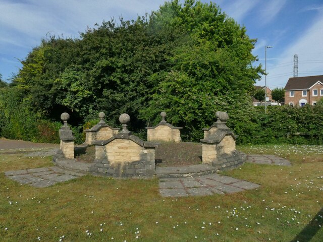
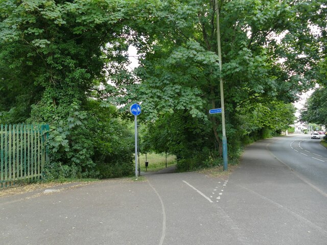
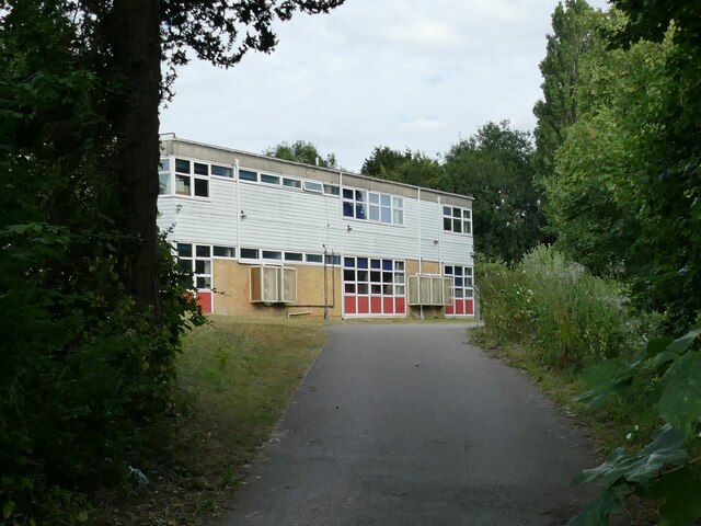
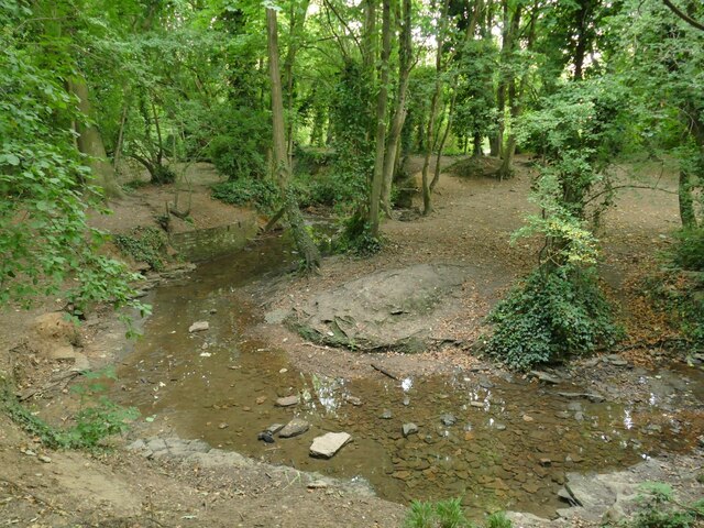
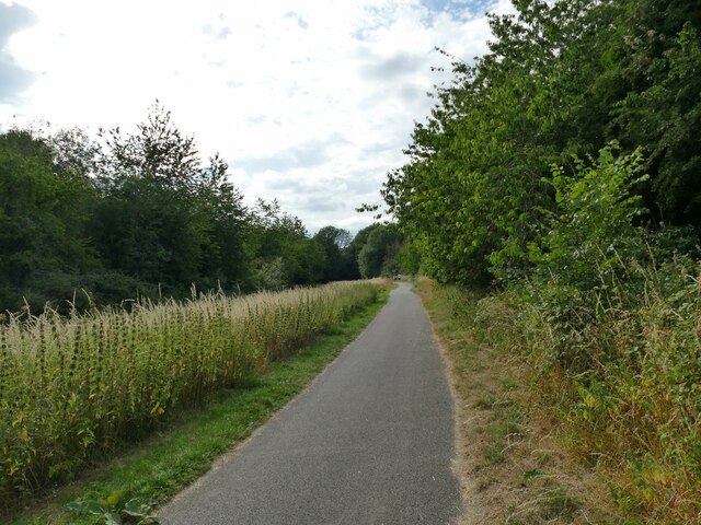
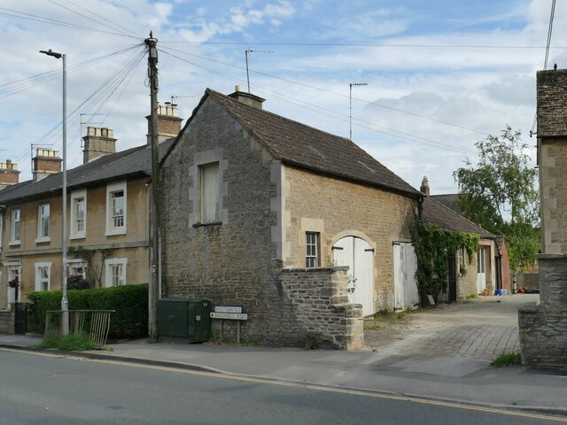
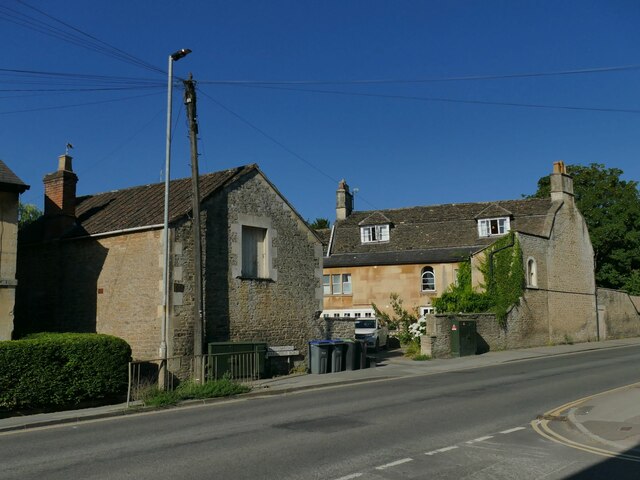
Primrose Hill Images

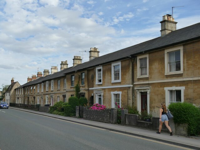
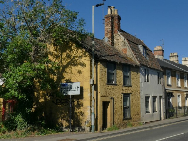
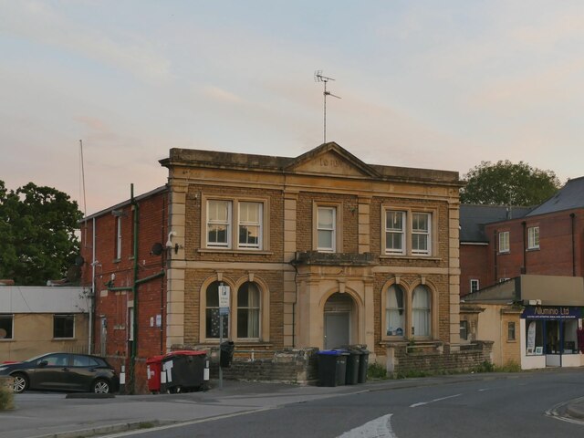
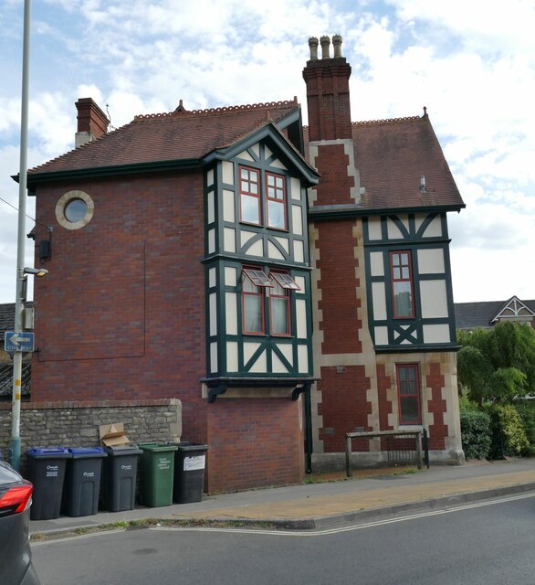
Images are sourced within 2km of 51.455543/-2.1261705 or Grid Reference ST9172. Thanks to Geograph Open Source API. All images are credited.

Chippenham Hospital, Wiltshire The main entrance to Chippenham Hospital.
Chippenham Hospital, Wiltshire
The main entrance to Chippenham Hospital.
Stainers Way with cycle path A segregated cycle path runs right through this housing estate, sometimes next to Stainers Way, sometimes diverging from it.
Stainers Way with cycle path
A segregated cycle path runs right through this housing estate, sometimes next to Stainers Way, sometimes diverging from it.
Open space off Stainers Way  When this housing estate at Hardenhuish was built, a generous amount of green space was left between areas of housing.
Open space off Stainers Way
When this housing estate at Hardenhuish was built, a generous amount of green space was left between areas of housing.
Playground by Stainers Way
Link path off Stainers Way  This short, straight section of footpath connects the housing estate to a longer foot and cycle path that runs for 1.3km alongside the Hardenhuish Brook from the ring road to Bristol Road on the outskirts of the town centre.
Link path off Stainers Way
This short, straight section of footpath connects the housing estate to a longer foot and cycle path that runs for 1.3km alongside the Hardenhuish Brook from the ring road to Bristol Road on the outskirts of the town centre.
The stone circle on Redwing Avenue I wondered whether this structure in a modern housing estate might be formed from parts of some historic house that once stood on the site, but a local person explained that the show houses for the estate were close by, and this was part of the developer's promotional work.
The stone circle on Redwing Avenue
I wondered whether this structure in a modern housing estate might be formed from parts of some historic house that once stood on the site, but a local person explained that the show houses for the estate were close by, and this was part of the developer's promotional work.
Cycleway off Hardenhuish Lane Part of a longer foot and cycle path that runs for 1.3km alongside the Hardenhuish Brook from the ring road to Bristol Road on the outskirts of the town centre.
Cycleway off Hardenhuish Lane
Part of a longer foot and cycle path that runs for 1.3km alongside the Hardenhuish Brook from the ring road to Bristol Road on the outskirts of the town centre.
Sheldon School, Chippenham A view through the gates at the rear entrance on Hardenhuish Lane. The school, originally for boys only, is now a co-educational comprehensive and claims to be the largest school in Wiltshire.
Sheldon School, Chippenham
A view through the gates at the rear entrance on Hardenhuish Lane. The school, originally for boys only, is now a co-educational comprehensive and claims to be the largest school in Wiltshire.
The Hardenhuish Brook Probably never much of a watercourse at the best of times, but with only a trickle of a flow in the dry summer of 2022.
The Hardenhuish Brook
Probably never much of a watercourse at the best of times, but with only a trickle of a flow in the dry summer of 2022.
Cycleway parallel to the Hardenhuish Brook This foot and cycle path runs for 1.1km alongside the Hardenhuish Brook from Bristol Road on the outskirts of the town centre to Stainers Way, beyond which it continues as a public footpath only, to and beyond the ring road.
Cycleway parallel to the Hardenhuish Brook
This foot and cycle path runs for 1.1km alongside the Hardenhuish Brook from Bristol Road on the outskirts of the town centre to Stainers Way, beyond which it continues as a public footpath only, to and beyond the ring road.
Former stables at Oak Lodge Dating from the mid 19th century and listed grade II (list entry 1268153), this is a former stable building with arched carriage entrance and hay loft above.
Former stables at Oak Lodge
Dating from the mid 19th century and listed grade II (list entry 1268153), this is a former stable building with arched carriage entrance and hay loft above.
Oak Lodge, Bristol Road, Chippenham Dating from the mid 18th century with later alterations, and listed grade II (list entry 1268152). For the stable block to the left, see <a href="https://www.geograph.org.uk/photo/7241623">ST9173 : Former stables at Oak Lodge</a>.
Oak Lodge, Bristol Road, Chippenham
Dating from the mid 18th century with later alterations, and listed grade II (list entry 1268152). For the stable block to the left, see ST9173 : Former stables at Oak Lodge.
Terraced Houses, Marshfield Road, Chippenham The terrace of 15 cottages was built in 1858 for railway workers, and is listed grade II (list entry 1268003). To the left of the second house from the right is a datestone above an archway <a href="https://www.geograph.org.uk/photo/7242339">ST9173 : Terraced Houses, Marshfield Road, Chippenham (Detail)</a>.
Terraced Houses, Marshfield Road, Chippenham
The terrace of 15 cottages was built in 1858 for railway workers, and is listed grade II (list entry 1268003). To the left of the second house from the right is a datestone above an archway ST9173 : Terraced Houses, Marshfield Road, Chippenham (Detail).
69 Marshfield Road, Chippenham This 19th century house at the corner of Marshfield Road and Audley Road is grade II listed (list entry 1268005).
69 Marshfield Road, Chippenham
This 19th century house at the corner of Marshfield Road and Audley Road is grade II listed (list entry 1268005).
The West End Club, Audley Road, Chippenham With a datestone of 1910.
The West End Club, Audley Road, Chippenham
With a datestone of 1910.
West End House, Park Lane, Chippenham Probably built as a single dwelling in a mock-Tudor style, but now consisting of several flats.
West End House, Park Lane, Chippenham
Probably built as a single dwelling in a mock-Tudor style, but now consisting of several flats.
Park Lane, Chippenham, with cycle lane It is in practice rare to see this arrangement whereby the cycle lane is between the pavement and car parking bays. But it is recommended good practice as the parked cars offer a safety barrier to passing cyclists - just beware of doors opening!
Park Lane, Chippenham, with cycle lane
It is in practice rare to see this arrangement whereby the cycle lane is between the pavement and car parking bays. But it is recommended good practice as the parked cars offer a safety barrier to passing cyclists - just beware of doors opening!
Tesco Express and B&M, Chippenham Shops near the railway station.
Tesco Express and B&M, Chippenham
Shops near the railway station.
Show me another place!

Primrose Hill is located at Grid Ref: ST9172 (Lat: 51.455543, Lng: -2.1261705)

Unitary Authority: Wiltshire

Police Authority: Wiltshire

What 3 Words

///latter.sand.ends. Near Chippenham, Wiltshire

Nearby Locations

Primrose Hill

Related Wikis

Chippenham Town Hall

Chippenham Town Hall is a 19th-century municipal building in the High Street, Chippenham, Wiltshire, England. The town hall, which was the headquarters...

North Wiltshire

North Wiltshire was a local government district in Wiltshire, England, between 1974 and 2009, when it was superseded by Wiltshire Council. The district...

Battle of Chippenham

The Battle of Chippenham was a January 878 battle between a Viking army led by Guthrum and an Anglo-Saxon army led by Alfred the Great. The Vikings forced...

Chippenham

Chippenham is a market town in north-west Wiltshire, England. It lies 13 miles (21 km) north-east of Bath, 86 miles (138 km) west of London and is near...

Nearby Amenities

Located within 500m of 51.455543,-2.1261705
Mini Roundabout
Direction: clockwise
Lat/Long: 51.4585309/-2.1269175
Post Box
Lat/Long: 51.4585518/-2.1294719
Mini Roundabout
Direction: clockwise
Lat/Long: 51.4584439/-2.1266286
Off License
One Stop Shop
Addr City: Chippenham
Addr Housenumber: 6
Addr Postcode: SN14 0BN
Addr Street: Sheldon Road
Brand: One Stop
Brand Wikidata: Q65954217
Contact Website: https://www.onestop.co.uk/store?store=101e049d-ecd4-47d6-931f-6e4fbbcb677c
Opening Hours: Mo-Sa 06:00-22:00; Su 07:00-22:00
Shop: convenience
Lat/Long: 51.4585681/-2.1265735
Crossing
Lat/Long: 51.457315/-2.1225144
Bus Stop
Community Hospital
Bus: yes
Naptan AtcoCode: 4600WIA10704
Naptan Bearing: N
Naptan CommonName: Community Hospital
Naptan Indicator: N-bound
Naptan NaptanCode: wilamjam
Naptan Street: Rowden Hill
Naptan Verified: no
Public Transport: platform
Shelter: yes
Lat/Long: 51.4540809/-2.1255243
Fast Food
Buckles Fish & Chips
Addr Housenumber: 4
Addr Street: Sheldon Road
Lat/Long: 51.4585614/-2.1262999
Bus Stop
Charter Road
Bus: yes
Naptan AtcoCode: 4600WIA10706
Naptan Bearing: S
Naptan CommonName: Charter Road
Naptan Indicator: S-bound
Naptan NaptanCode: wilamjtm
Naptan Street: Rowden Hill
Naptan Verified: no
Public Transport: platform
Lat/Long: 51.4565625/-2.1226661
Bus Stop
Charter Road
Bus: yes
Naptan AtcoCode: 4600WIA10707
Naptan Bearing: N
Naptan CommonName: Charter Road
Naptan Indicator: N-bound
Naptan NaptanCode: wilamjtg
Naptan Street: Rowden Hill
Naptan Verified: no
Public Transport: platform
Lat/Long: 51.457514/-2.1225718
Crossing
Button Operated: yes
Crossing: traffic_signals
Crossing Island: no
Crossing Markings: dots
Tactile Paving: yes
Lat/Long: 51.4544711/-2.1248347
Turning Circle
Lat/Long: 51.4544416/-2.1217435
Post Box
Lat/Long: 51.4544794/-2.1285515
Roman Glass
Shop: glaziery
Lat/Long: 51.4587486/-2.1266754
Post Box
Lat/Long: 51.4585681/-2.1264394
Telephone
Booth: Anglian
Covered: booth
Lat/Long: 51.4547078/-2.1213308
Bus Stop
Rowden Arms
Bus: yes
Naptan AtcoCode: 4600WIA10703
Naptan Bearing: N
Naptan CommonName: Rowden Arms
Naptan Indicator: N-bound
Naptan NaptanCode: wilamdtd
Naptan Street: Rowden Hill
Naptan Verified: no
Public Transport: platform
Lat/Long: 51.4522549/-2.130567
Post Box
Post Box Type: pillar
Royal Cypher: EIIR
Royal Cypher Wikidata: Q33102113
Lat/Long: 51.454036/-2.125592
Crossing
Lat/Long: 51.4544486/-2.1247909
Entrance: main
Lat/Long: 51.4518892/-2.1272734
Crossing
Lat/Long: 51.4591897/-2.1267179
Bus Stop
Community Hospital
Bus: yes
Naptan AtcoCode: 4600WIA10705
Naptan Bearing: S
Naptan CommonName: Community Hospital
Naptan Indicator: S-bound
Naptan NaptanCode: wilamjdj
Naptan Street: Rowden Hill
Naptan Verified: no
Public Transport: platform
Lat/Long: 51.4540289/-2.125383
Eddie Cochran Memorial
Direction: 135
Historic: memorial
Inscription: Eddie Cochran Cherished Memories 1938 1960 You kiss and hold her tightly She falls in love with you You find a girl to love
Material: concrete;metal
Memorial: plaque
Lat/Long: 51.4527766/-2.1299014
The data included in this document is from www.openstreetmap.org. The data is made available under ODbL.

Have you been to Primrose Hill?

Leave your review of Primrose Hill below (or comments, questions and feedback).