Newnton Gorse

Wood, Forest in Wiltshire Cotswold

England

Newnton Gorse

Long Newnton, Holy Trinity
Long Newnton, Holy Trinity Credit: Dave Kelly

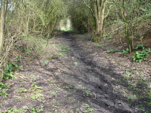
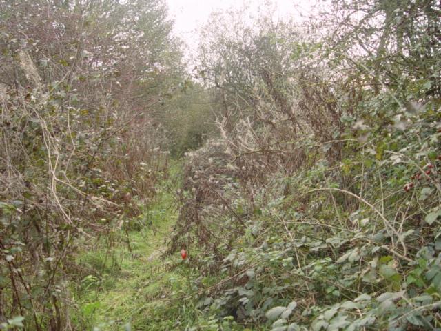
Newnton Gorse is a picturesque wood located in the county of Wiltshire, England. Situated near the village of Newnton, the gorse is a small part of a larger forested area known for its natural beauty and diverse wildlife.

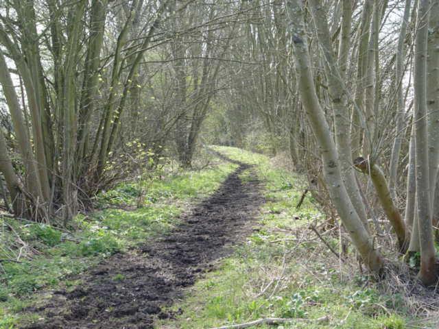
The wood covers an area of approximately 50 acres and is characterized by its dense vegetation and towering trees. Oak, ash, and beech trees dominate the landscape, providing a rich habitat for a variety of species. The forest floor is covered in a carpet of bluebells during the spring, creating a stunning display of color.

Newnton Gorse is a haven for wildlife enthusiasts, as it is home to a wide range of animals and birds. Roe deer can often be spotted grazing in the early morning or at dusk, while badgers and foxes are known to roam the undergrowth. The wood is also a haven for birdlife, with species such as woodpeckers, owls, and thrushes making their homes among the trees.

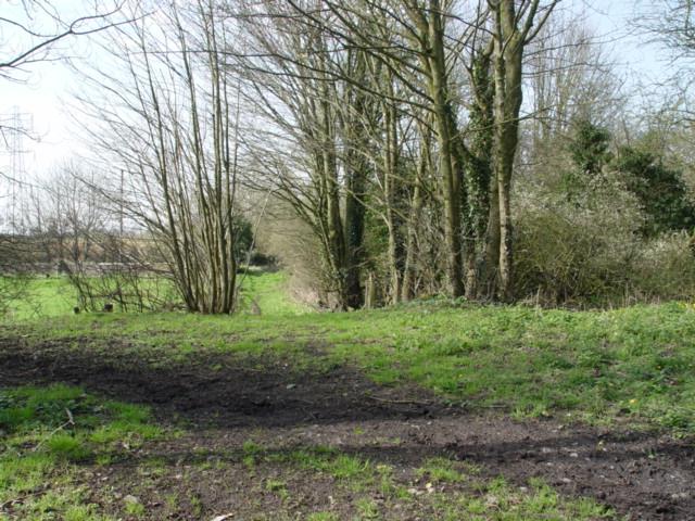
Visitors to Newnton Gorse can enjoy a peaceful and tranquil atmosphere, perfect for walking, birdwatching, or simply taking in the natural surroundings. There are several well-maintained trails that wind through the wood, offering visitors the opportunity to explore its beauty at their own pace.

Overall, Newnton Gorse is a stunning wood in Wiltshire, providing a haven for wildlife and a peaceful retreat for nature lovers. Its diverse flora and fauna, combined with its scenic trails, make it a popular destination for both locals and tourists seeking to immerse themselves in the beauty of the English countryside.

If you have any feedback on the listing, please let us know in the comments section below.

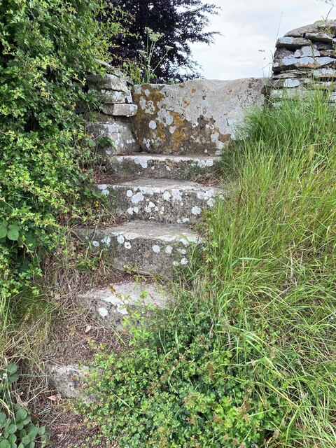
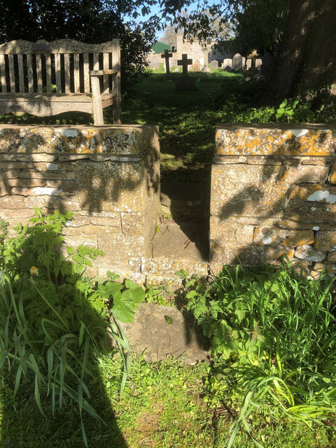
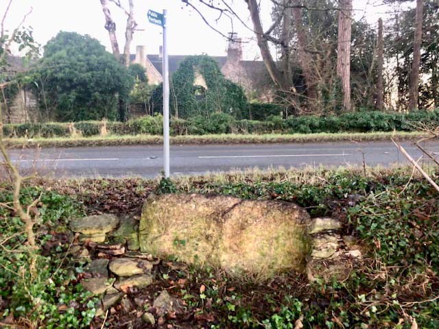
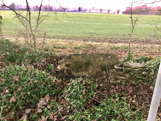
Newnton Gorse Images

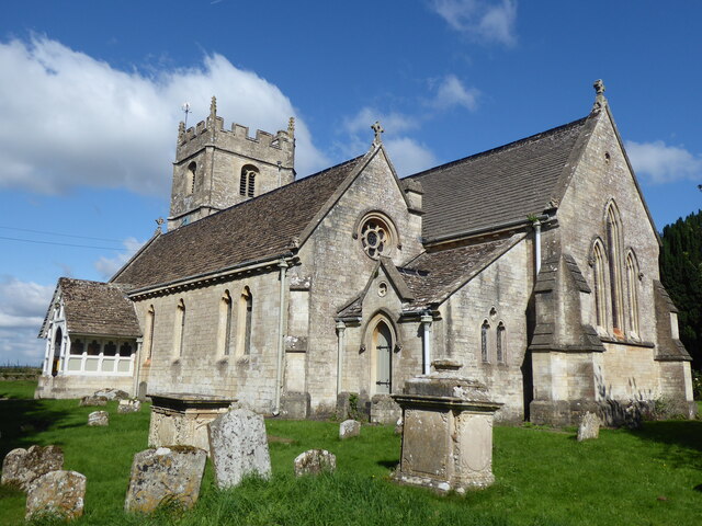
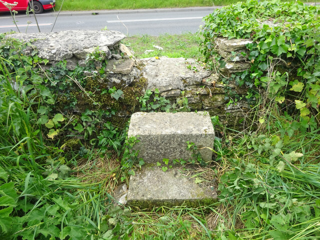
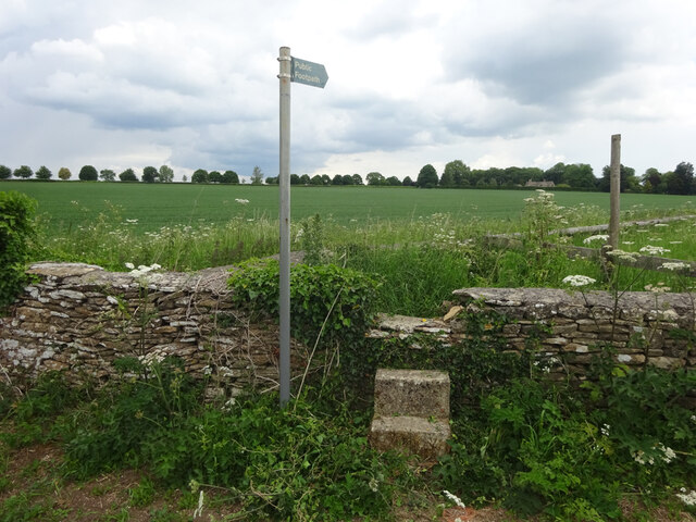
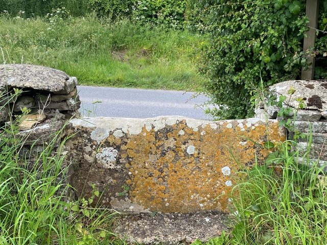
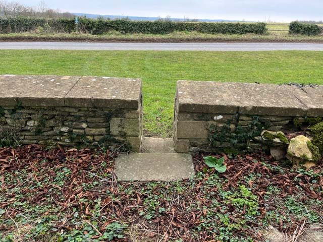
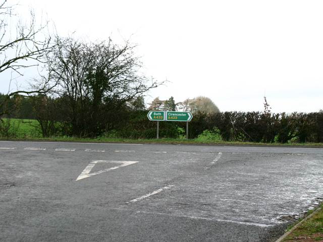
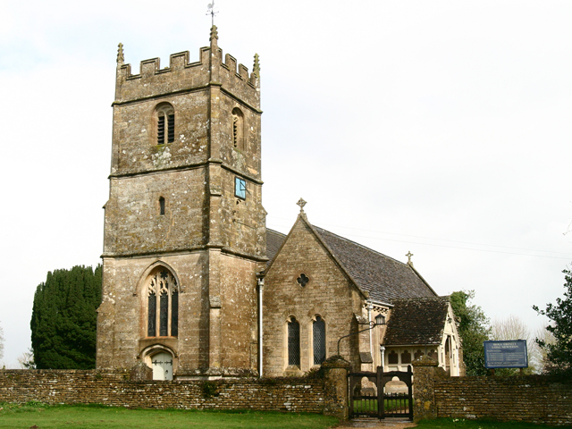
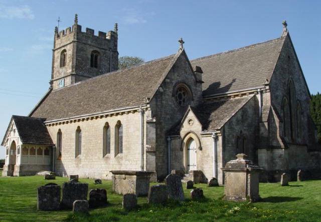
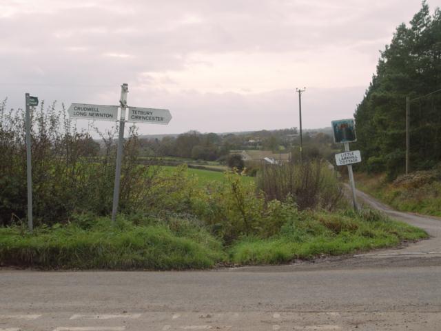
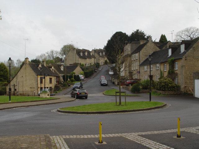
Images are sourced within 2km of 51.638837/-2.1219254 or Grid Reference ST9193. Thanks to Geograph Open Source API. All images are credited.

Long Newnton, Holy Trinity
Stone Stile, Long Newnton Looking SW to the B4014, on Gloucestershire footpath NLN12
Stone Stile, Long Newnton
Looking SW to the B4014, on Gloucestershire footpath NLN12
Stone Stile, Long Newnton Looking NE from the B4014, on Gloucestershire footpath NLN12.
Stone Stile, Long Newnton
Looking NE from the B4014, on Gloucestershire footpath NLN12.
Stone Stile, Long Newnton Looking SW to the B4014 on Gloucestershire footpath NLN9. The view from the road is <a href="https://www.geograph.org.uk/photo/7194255">ST9191 : Stone Stile, Long Newnton</a>.
Stone Stile, Long Newnton
Looking SW to the B4014 on Gloucestershire footpath NLN9. The view from the road is ST9191 : Stone Stile, Long Newnton.
Stone Stile, Long Newnton Looking NE off the B4014 on Gloucestershire footpath NLN9 leading due East towards Newnton Farm. The view looking towards the road is <a href="https://www.geograph.org.uk/photo/7194252">ST9191 : Stone Stile, Long Newnton</a>.
Stone Stile, Long Newnton
Looking NE off the B4014 on Gloucestershire footpath NLN9 leading due East towards Newnton Farm. The view looking towards the road is ST9191 : Stone Stile, Long Newnton.
Stone Stile, Long Newnton A gap type stile in the churchyard wall of Holy Trinity Church looking from the road. Which one has to assume is Church Lane, because the house at the Southern junction with the B4104 is called Church Lane House. The view West is <a href="https://www.geograph.org.uk/photo/7419976">ST9092 : Stone Stile, Long Newnton</a>.
Stone Stile, Long Newnton
A gap type stile in the churchyard wall of Holy Trinity Church looking from the road. Which one has to assume is Church Lane, because the house at the Southern junction with the B4104 is called Church Lane House. The view West is ST9092 : Stone Stile, Long Newnton.
Stone Stile, Tetbury Upton On Gloucestershire footpath NTU9, off the A433 opposite Ilsom Care Home. This view looks south to the care home, the view North across fields is <a href="https://www.geograph.org.uk/photo/7327725">ST9094 : Stone Stile, Tetbury Upton</a>.
Stone Stile, Tetbury Upton
On Gloucestershire footpath NTU9, off the A433 opposite Ilsom Care Home. This view looks south to the care home, the view North across fields is ST9094 : Stone Stile, Tetbury Upton.
Stone Stile, Tetbury Upton On Gloucestershire footpath NTU9, off the A433 opposite Ilsom Care Home. This view looks North across fields, the view South to the care home is <a href="https://www.geograph.org.uk/photo/7327723">ST9094 : Stone Stile, Tetbury Upton</a>.
Stone Stile, Tetbury Upton
On Gloucestershire footpath NTU9, off the A433 opposite Ilsom Care Home. This view looks North across fields, the view South to the care home is ST9094 : Stone Stile, Tetbury Upton.
Stone Stile, Long Newnton A gap type stile in the churchyard wall of Holy Trinity Church looking from the road. Which one has to assume is Church Lane, because the house at the Southern junction with the B4104 is called Church Lane House. The view East is <a href="https://www.geograph.org.uk/photo/7205257">ST9092 : Stone Stile, Long Newnton</a>.
Stone Stile, Long Newnton
A gap type stile in the churchyard wall of Holy Trinity Church looking from the road. Which one has to assume is Church Lane, because the house at the Southern junction with the B4104 is called Church Lane House. The view East is ST9092 : Stone Stile, Long Newnton.
A433 Junction near Ilsom Looking North from Newnton Hill road at the A433 Junction to Cirencester and Bath. The junction is approx 1.8 miles North East of Tetbury.
A433 Junction near Ilsom
Looking North from Newnton Hill road at the A433 Junction to Cirencester and Bath. The junction is approx 1.8 miles North East of Tetbury.
Holy Trinity Church Holy Trinity is the parish church at Long Newnton in Gloucestershire. Long Newnton is off the B4014 near Tetbury.
Holy Trinity Church
Holy Trinity is the parish church at Long Newnton in Gloucestershire. Long Newnton is off the B4014 near Tetbury.
Long Newnton Holy Trinity Church
Tetbury Branch Line Track Bed Former G.W.R railway line taken from the site of the former Newnton road bridge looking towards Trouble House Halt
Tetbury Branch Line Track Bed
Former G.W.R railway line taken from the site of the former Newnton road bridge looking towards Trouble House Halt
Trouble House Halt Trouble House Halt on the former G.W.R Kemble to Tetbury branch looking from the halt towards Tetbury
Trouble House Halt
Trouble House Halt on the former G.W.R Kemble to Tetbury branch looking from the halt towards Tetbury
Trouble House Halt Trouble House Halt on the former G.W.R Kemble to Tetbury branch looking from the halt towards the A433 Tetbury the Inn is obscured by the trees.
Trouble House Halt
Trouble House Halt on the former G.W.R Kemble to Tetbury branch looking from the halt towards the A433 Tetbury the Inn is obscured by the trees.
Pill Box near Long Newnton
Tetbury Branch Line Track Bed Former G.W.R Kemble to Tetbury branch line from Long Newnton bridge looking towards Tetbury
Tetbury Branch Line Track Bed
Former G.W.R Kemble to Tetbury branch line from Long Newnton bridge looking towards Tetbury
Little Lark Hill near Tetbury
Show me another place!

Newnton Gorse is located at Grid Ref: ST9193 (Lat: 51.638837, Lng: -2.1219254)

Administrative County: Gloucestershire

District: Cotswold

Police Authority: Gloucestershire

What 3 Words

///joked.coast.dashes. Near Tetbury, Gloucestershire

Nearby Locations

Newnton Gorse Addy's Firs

Related Wikis

Long Newnton

Long Newnton is a small village and civil parish in Gloucestershire, England (historically in Wiltshire), lying on the B4014 road between Malmesbury (2...

RAF Long Newnton

Royal Air Force Long Newnton or more simply RAF Long Newnton is a former Royal Air Force satellite airfield in north Wiltshire, England, close to the Gloucestershire...

Ashley, Gloucestershire

Ashley is a village and civil parish in the Cotswold district of Gloucestershire, England, about 8 miles south-west of Cirencester. According to the 2001...

Trouble House Halt railway station

Trouble House Halt was a small station on the Tetbury branch line between Kemble and Tetbury between 1959 and 1964, when the line closed as part of the...

Church of St James, Ashley

The Anglican Church of St James at Ashley in the Cotswold District of Gloucestershire, England was built in the Norman period and rebuilt around 1200....

Duchy Home Farm

The Duchy Home Farm is an organic farm operated by the Duchy of Cornwall. The farm is part of the gardens of Highgrove House, the country home of King...

Tetbury railway station

Tetbury railway station was the terminus station on the Tetbury branch line, serving the Gloucestershire town of Tetbury. == History == The station was...

Tetbury Woolsack Races

The Tetbury Woolsack Races are an annual sporting event in the English town of Tetbury, in Gloucestershire, where competitors must race up and down the...

Have you been to Newnton Gorse?

Leave your review of Newnton Gorse below (or comments, questions and feedback).