Coalpit Coppice
Wood, Forest in Worcestershire Wyre Forest
England
Coalpit Coppice
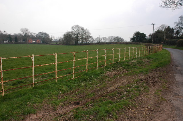
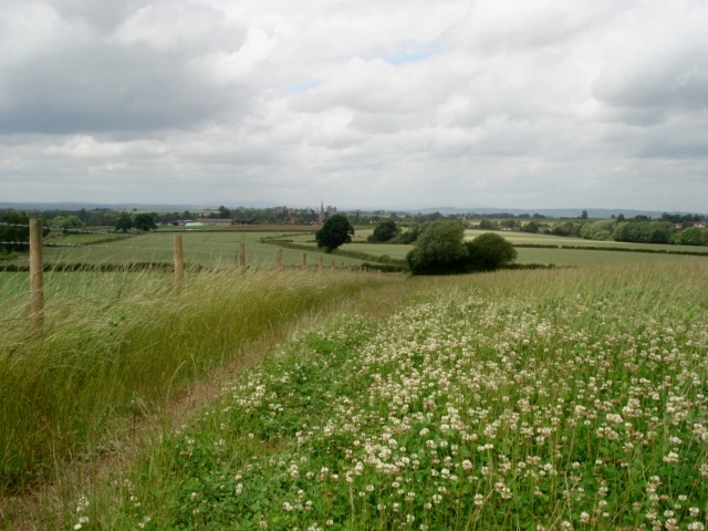
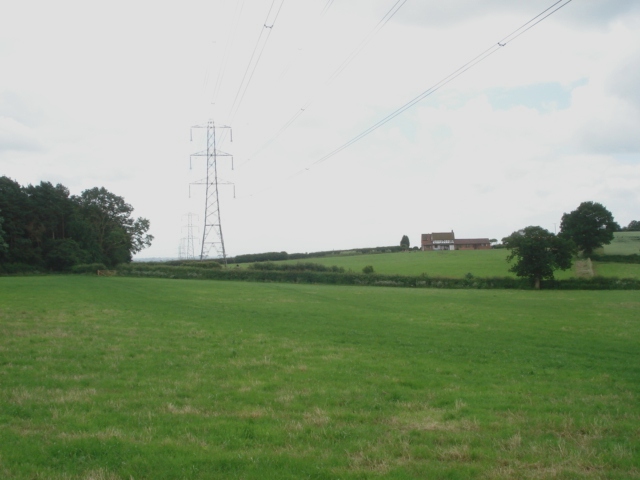
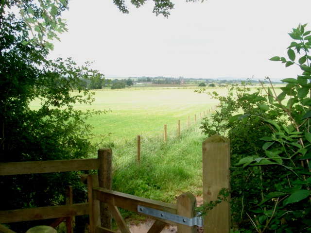
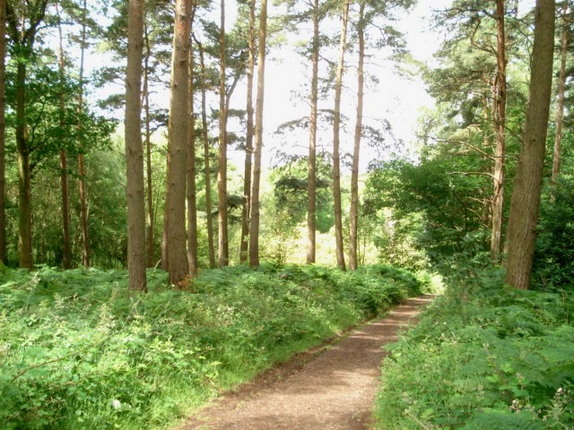
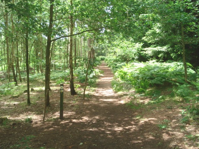
Coalpit Coppice is a beautiful wood located in the county of Worcestershire, England. It is part of the wider Forest of Wyre, a designated Area of Outstanding Natural Beauty. Covering an area of approximately 50 hectares, Coalpit Coppice is a woodland haven that offers a tranquil escape from the hustle and bustle of everyday life.
The wood is predominantly comprised of native broadleaf trees including oak, ash, and birch, creating a diverse and rich habitat for a wide range of flora and fauna. The lush undergrowth is home to a variety of wildflowers, ferns, and mosses, which thrive in the dappled sunlight that filters through the tree canopy.
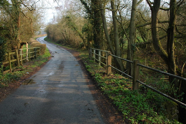
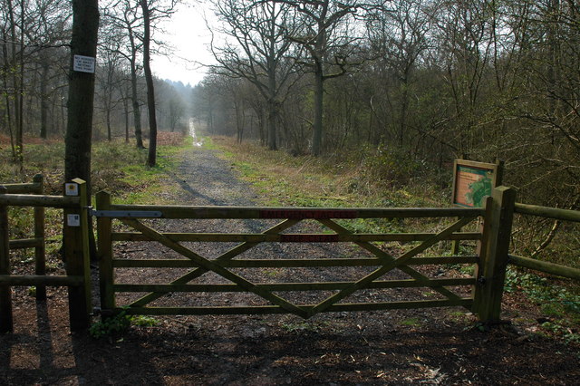
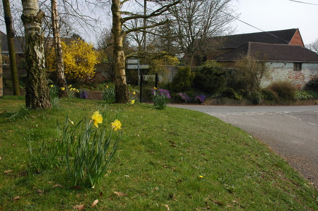
Coalpit Coppice is a popular destination for nature enthusiasts and walkers alike. The wood is crisscrossed with a network of well-maintained footpaths and trails, allowing visitors to explore the area and appreciate its natural beauty. The peaceful ambiance and picturesque surroundings make it an ideal spot for a leisurely stroll, birdwatching, or simply enjoying a picnic amidst the tranquil setting.
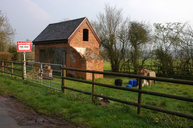
In addition to its natural beauty, Coalpit Coppice also holds historical significance. As the name suggests, the wood was once a coal mining site in the 19th century, with remnants of old mine shafts and spoil heaps still visible today. This historical aspect adds an extra layer of intrigue and fascination to the wood, attracting history enthusiasts and those interested in the area's industrial past.
Overall, Coalpit Coppice is a captivating woodland that offers a wonderful blend of natural beauty and historical interest, making it a cherished destination for locals and visitors to Worcestershire alike.
If you have any feedback on the listing, please let us know in the comments section below.
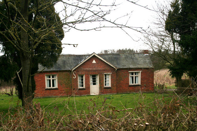
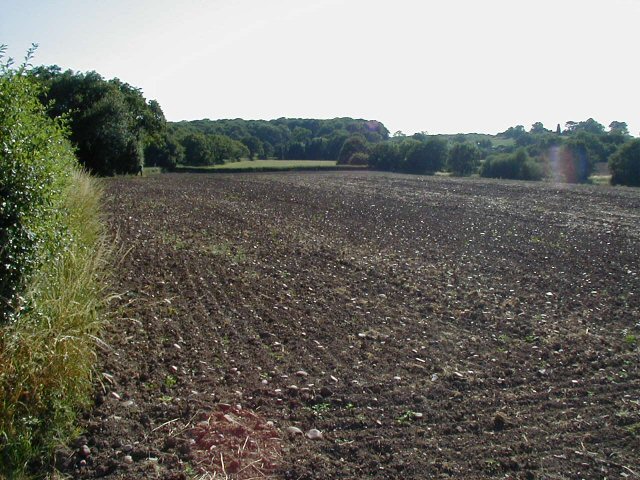
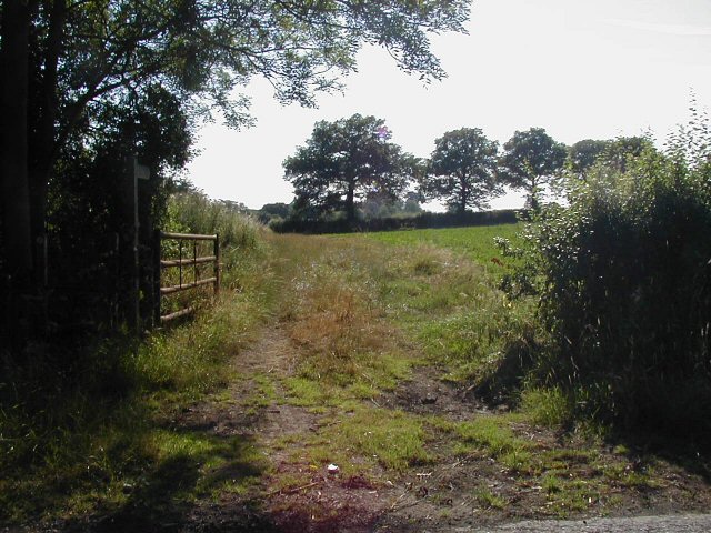
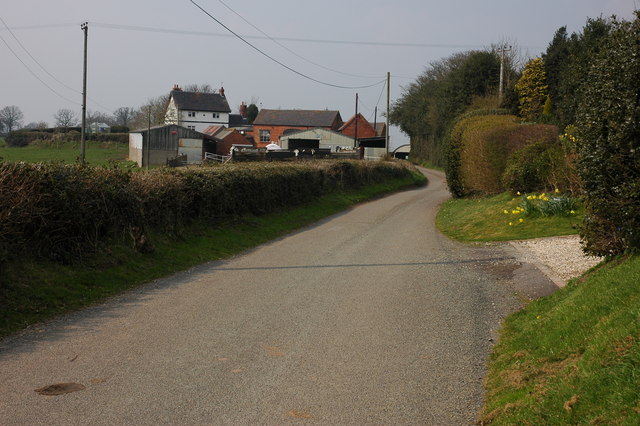
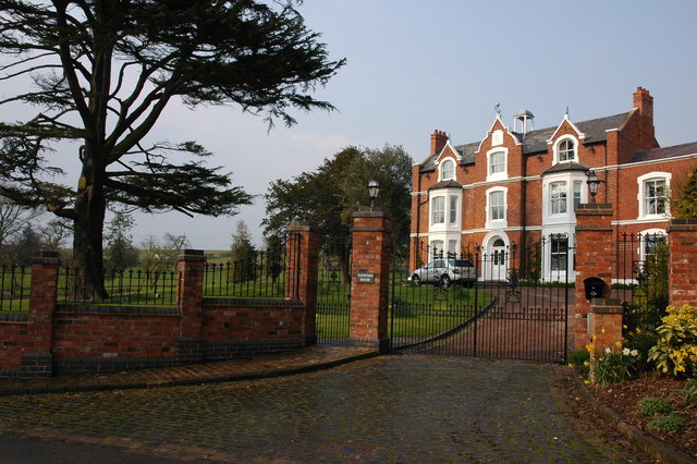
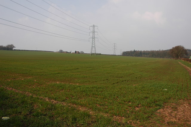
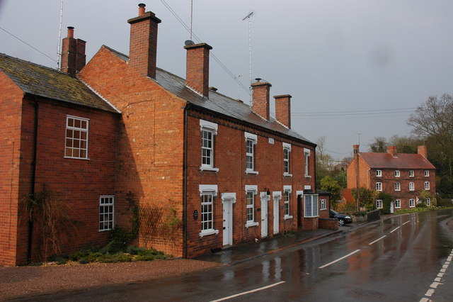
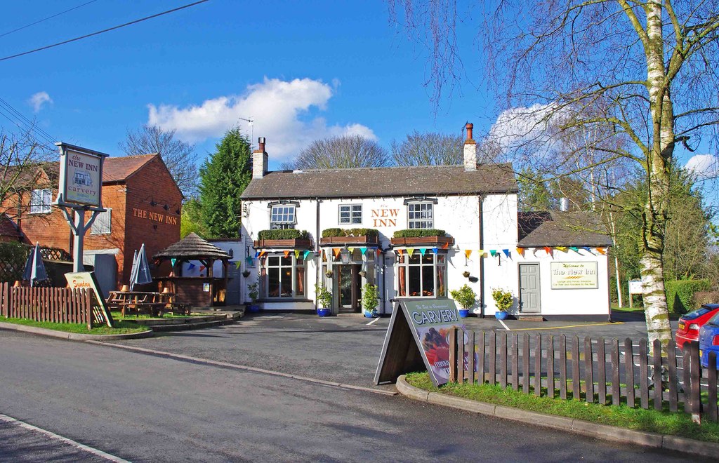
Coalpit Coppice Images
Images are sourced within 2km of 52.363818/-2.1239449 or Grid Reference SO9173. Thanks to Geograph Open Source API. All images are credited.


Coalpit Coppice is located at Grid Ref: SO9173 (Lat: 52.363818, Lng: -2.1239449)
Administrative County: Worcestershire
District: Wyre Forest
Police Authority: West Mercia
What 3 Words
///cult.ideals.banter. Near Belbroughton, Worcestershire
Nearby Locations
Related Wikis

Chaddesley Woods National Nature Reserve
Chaddesley Woods National Nature Reserve is situated near the village of Chaddesley Corbett, in Worcestershire, England. It is a reserve of the Worcestershire...

Tanwood
Tanwood is a hamlet in the English county of Worcestershire. It lies about one mile northeast of the village of Chaddesley Corbett and forms part of the...

Rosedene
Rosedene is a cottage built as part of the Great Dodford Chartist settlement. It is the best preserved example of a Chartist cottage built by the National...

Dodford Priory
Dodford Priory in the parish of Bromsgrove in Worcestershire in the current village of Dodford, was a small Augustinian monastery. == History == It was...

Dodford, Worcestershire
Dodford is a village in the Bromsgrove district of Worcestershire, England, approximately 3 miles (4.8 km) west of Bromsgrove, officially founded on 2...
Drayton, Worcestershire
Drayton is a hamlet in Worcestershire, England which remains part of the ecclesiastical parish of Chaddesley Corbett, which from its select vestry formed...

Chaddesley Corbett
Chaddesley Corbett is a village and civil parish in the Wyre Forest District of Worcestershire, England. The Anglican and secular versions of the parish...
Bournheath
Bournheath is a village and civil parish in the Bromsgrove District of Worcestershire, England, about three miles north of Bromsgrove. According to the...
Nearby Amenities
Located within 500m of 52.363818,-2.1239449Have you been to Coalpit Coppice?
Leave your review of Coalpit Coppice below (or comments, questions and feedback).