Line Hill
Hill, Mountain in Worcestershire Bromsgrove
England
Line Hill
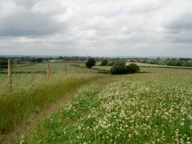
Line Hill is a prominent geological feature located in Worcestershire, England. It stands at an elevation of approximately 297 meters (974 feet) above sea level and is considered one of the highest points in the region. This hill is a part of the Malvern Hills Area of Outstanding Natural Beauty and offers breathtaking panoramic views of the surrounding countryside.
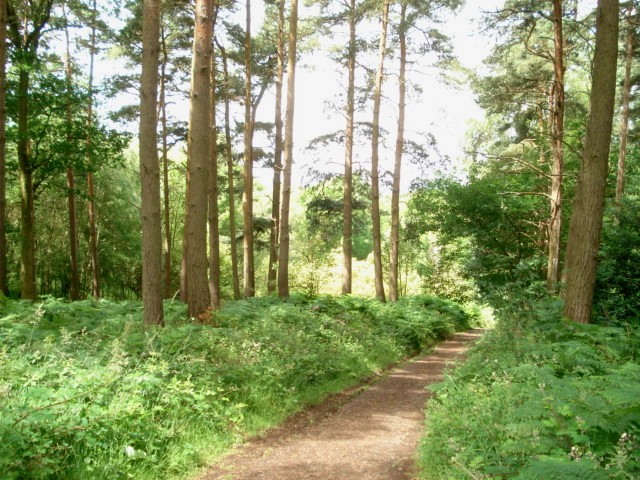
Formed during the last ice age, Line Hill is primarily composed of ancient Precambrian igneous rocks, including granite and diorite. These rocks give the hill its distinctive rugged appearance and contribute to its enduring geological significance. The hill's slopes are covered in a mix of grassland and heathland habitats, supporting a diverse range of flora and fauna.
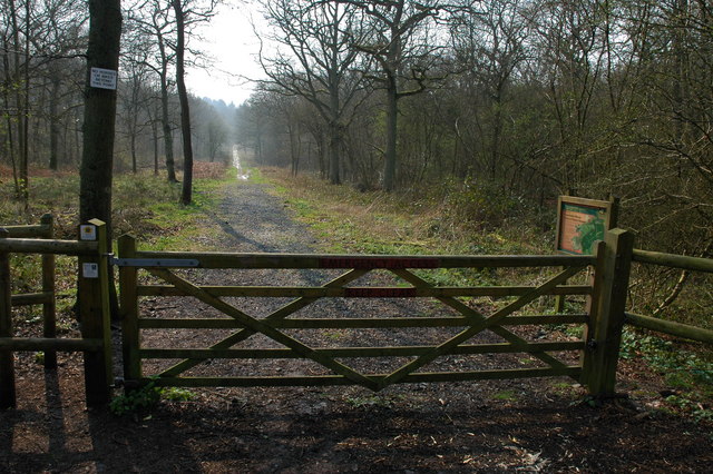
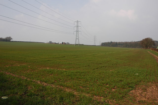
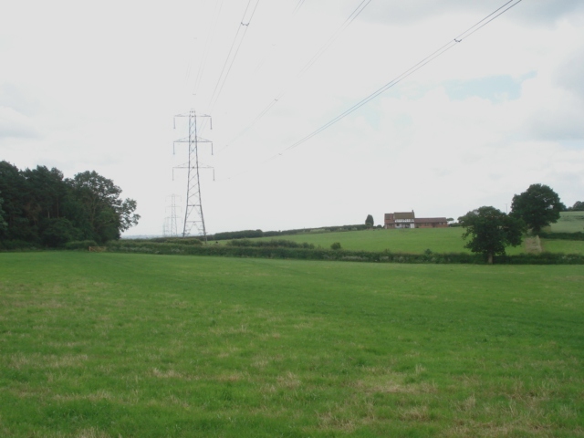
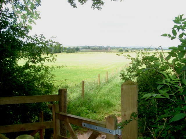
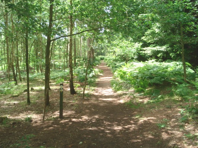
Line Hill is a popular destination for outdoor enthusiasts and nature lovers. It offers numerous walking and hiking trails, allowing visitors to explore its natural beauty at their own pace. The hill's summit provides an ideal spot for picnicking or simply enjoying the stunning vistas across Worcestershire and beyond.
Throughout history, Line Hill has also been valuable for its strategic position. It served as a landmark for navigation and was used as a beacon site to communicate important messages. Today, it continues to be a cherished landmark, attracting visitors seeking tranquility, adventure, and an appreciation for the region's geological heritage.
In conclusion, Line Hill is an impressive geological feature in Worcestershire, offering stunning views, diverse habitats, and a rich history. Its elevation, unique rock formations, and natural beauty make it a significant attraction for locals and tourists alike.
If you have any feedback on the listing, please let us know in the comments section below.
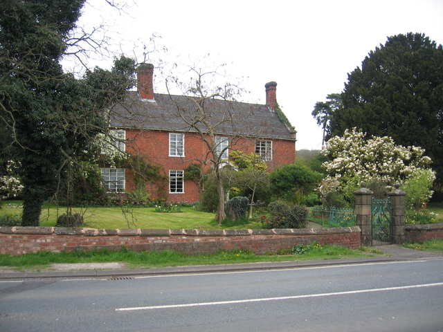
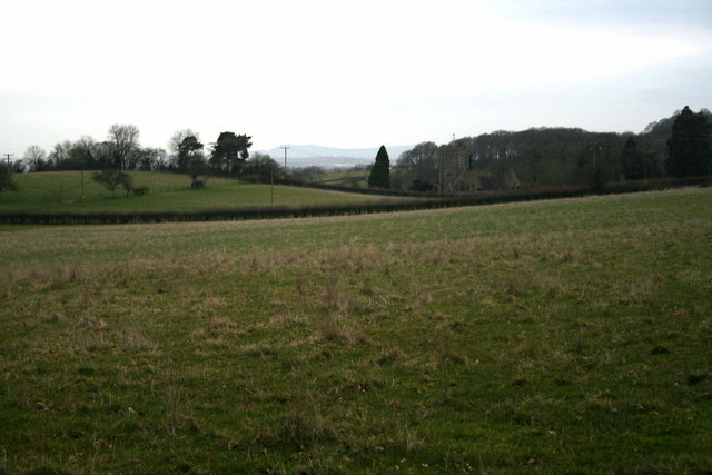
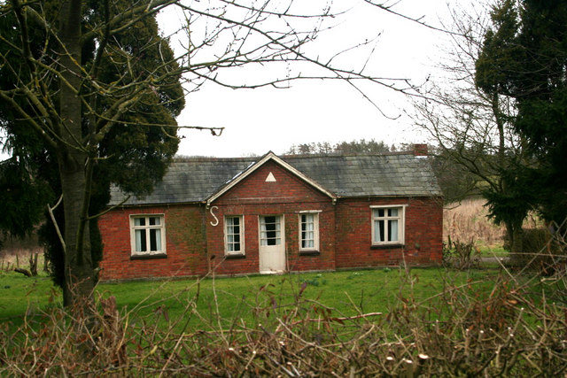
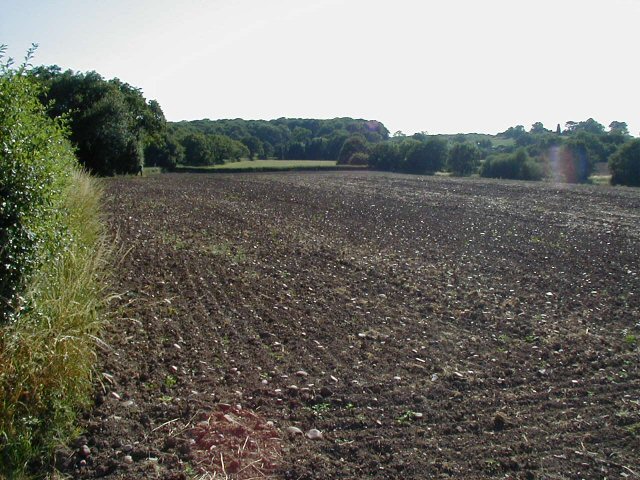
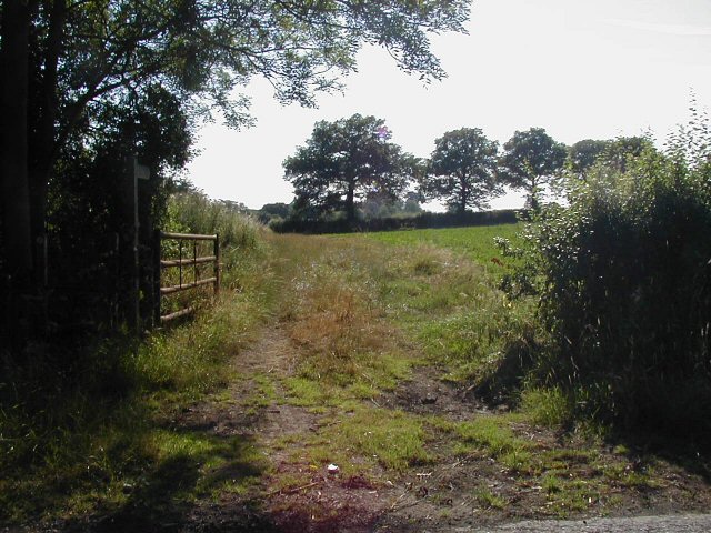
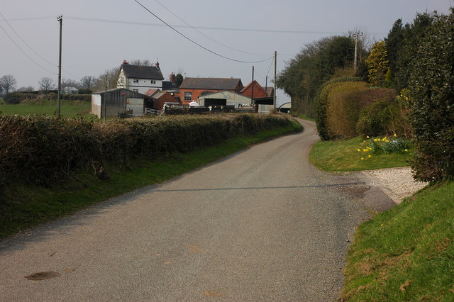
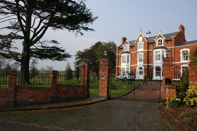
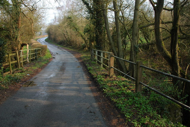
Line Hill Images
Images are sourced within 2km of 52.358864/-2.1234464 or Grid Reference SO9173. Thanks to Geograph Open Source API. All images are credited.

Line Hill is located at Grid Ref: SO9173 (Lat: 52.358864, Lng: -2.1234464)
Administrative County: Worcestershire
District: Bromsgrove
Police Authority: West Mercia
What 3 Words
///crumbles.unguarded.develop. Near Belbroughton, Worcestershire
Nearby Locations
Related Wikis

Chaddesley Woods National Nature Reserve
Chaddesley Woods National Nature Reserve is situated near the village of Chaddesley Corbett, in Worcestershire, England. It is a reserve of the Worcestershire...

Rosedene
Rosedene is a cottage built as part of the Great Dodford Chartist settlement. It is the best preserved example of a Chartist cottage built by the National...

Dodford Priory
Dodford Priory in the parish of Bromsgrove in Worcestershire in the current village of Dodford, was a small Augustinian monastery. == History == It was...

Tanwood
Tanwood is a hamlet in the English county of Worcestershire. It lies about one mile northeast of the village of Chaddesley Corbett and forms part of the...

Dodford, Worcestershire
Dodford is a village in the Bromsgrove district of Worcestershire, England, approximately 3 miles (4.8 km) west of Bromsgrove, officially founded on 2...

Chaddesley Corbett
Chaddesley Corbett is a village and civil parish in the Wyre Forest District of Worcestershire, England. The Anglican and secular versions of the parish...
Drayton, Worcestershire
Drayton is a hamlet in Worcestershire, England which remains part of the ecclesiastical parish of Chaddesley Corbett, which from its select vestry formed...
Alfred's Well, Worcestershire
Alfred's Well is a hamlet in the civil parish of Dodford in the Bromsgrove District of Worcestershire, England. Its nearest town is Bromsgrove. == References... ==
Nearby Amenities
Located within 500m of 52.358864,-2.1234464Have you been to Line Hill?
Leave your review of Line Hill below (or comments, questions and feedback).