Kelbrook Moor
Hill, Mountain in Yorkshire Pendle
England
Kelbrook Moor

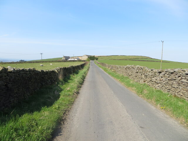
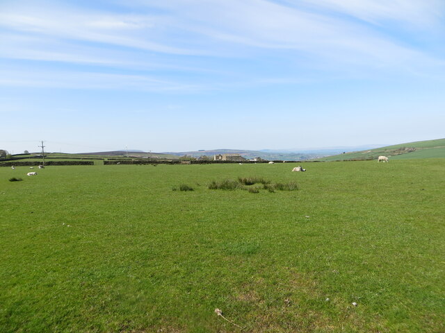
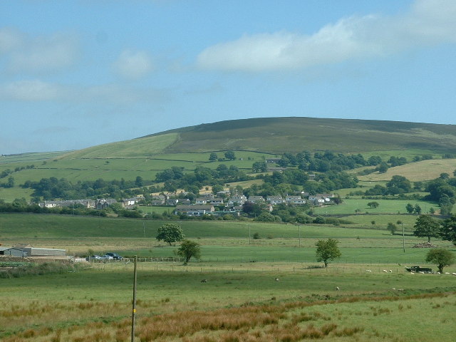
Kelbrook Moor is a prominent hill located in the county of Yorkshire, England. Situated in the north of the country, it is part of the Pennine Hills, which form the spine of England. Rising to an elevation of approximately 364 meters (1,194 feet), Kelbrook Moor offers stunning panoramic views of the surrounding countryside.
The hill is covered in a mix of heather, grasses, and shrubs, creating a picturesque landscape that changes with the seasons. During spring and summer, the moorland bursts into color with the blooming of wildflowers, while autumn transforms it into a tapestry of warm hues. The terrain is mainly rocky, with scattered outcrops providing habitats for various bird species, including larks and curlews.
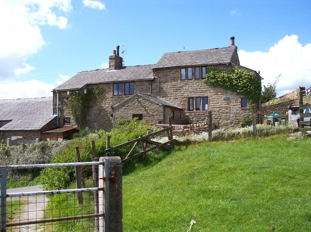
Kelbrook Moor is a popular destination for outdoor enthusiasts, attracting hikers, walkers, and nature lovers. It offers a network of well-maintained footpaths, allowing visitors to explore the area while taking in the breathtaking views. The hill also serves as a starting point for longer hikes, with trails leading to nearby landmarks such as the Yorkshire Dales National Park and Pendle Hill.
In addition to its natural beauty, Kelbrook Moor holds historical significance. The area was once home to Bronze Age settlements, and remnants of ancient stone circles and burial mounds can still be found on the hill. These archaeological sites provide insights into the region's past and offer visitors a glimpse into its rich cultural heritage.
Overall, Kelbrook Moor is a captivating and diverse landscape that offers something for everyone. Whether it's for a leisurely stroll, a challenging hike, or an exploration of its historical treasures, this Yorkshire hill is sure to leave a lasting impression on those who venture to its summit.
If you have any feedback on the listing, please let us know in the comments section below.
Kelbrook Moor Images
Images are sourced within 2km of 53.889351/-2.1278141 or Grid Reference SD9143. Thanks to Geograph Open Source API. All images are credited.


![Old Milestone, A56, South end of Kelbrook Located on the East side of road, on verge just South of village sign. Metal plate attached to stone post, WR casting design, erected in the 19th century.
Inscription reads: COLNE / 3 MILES :: SKIPTON / 9 MILES :: COLNE / & / BROUGHTON / ROAD / [Yorks Wr {plastic letters}] / KELBROOK
Milestone Society National ID: YW_SKCO09](https://s0.geograph.org.uk/geophotos/07/67/28/7672816_69a5f810.jpg)


Kelbrook Moor is located at Grid Ref: SD9143 (Lat: 53.889351, Lng: -2.1278141)
Division: West Riding
Administrative County: Lancashire
District: Pendle
Police Authority: Lancashire
What 3 Words
///runners.snores.thrillers. Near Foulridge, Lancashire
Nearby Locations
Related Wikis
Kelbrook
Kelbrook is a village in the civil parish of Kelbrook and Sough, Borough of Pendle, in Lancashire, England. It lies on the A56 road between Colne and Earby...

Kelbrook and Sough
Kelbrook and Sough is a civil parish in the Pendle district of Lancashire, England. It has a population of 1,008, and contains the village of Kelbrook...
Noyna Hill
Noyna Hill (sometimes called Noyna or Noyna Rock/s) is a hill in the Pennine range in Pendle, Lancashire, England. It is a mile east of Foulridge and it...

Sough, Lancashire
Sough is a hamlet, in Lancashire, England. Sough is located east of the main A56 road between Earby and Kelbrook; it is in the area known as West Craven...
Nearby Amenities
Located within 500m of 53.889351,-2.1278141Have you been to Kelbrook Moor?
Leave your review of Kelbrook Moor below (or comments, questions and feedback).