Greengill Wood
Wood, Forest in Yorkshire
England
Greengill Wood
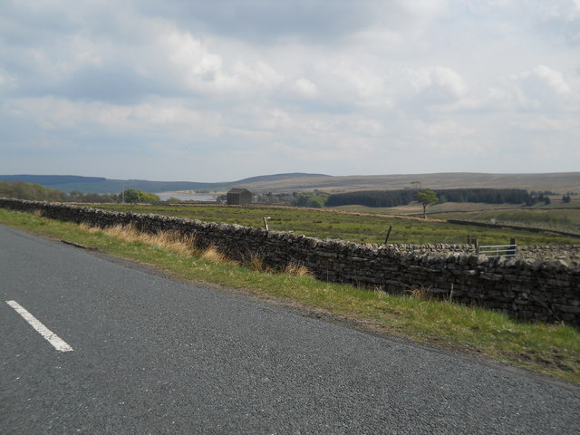
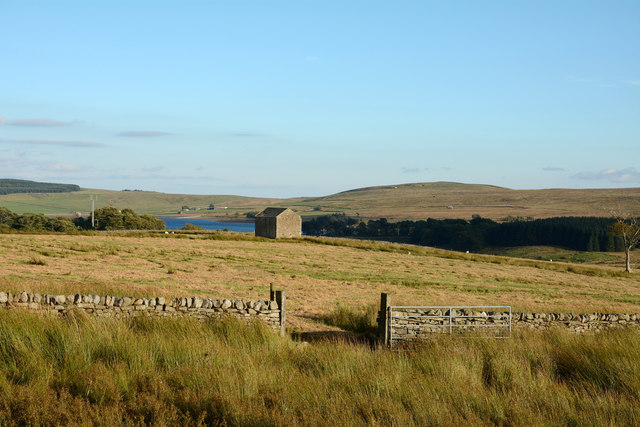
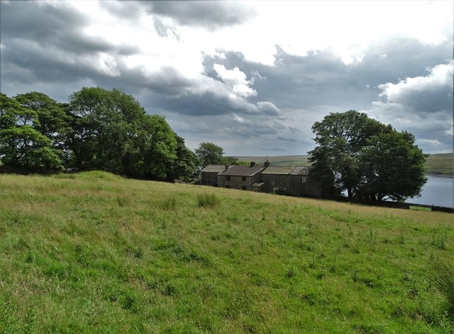
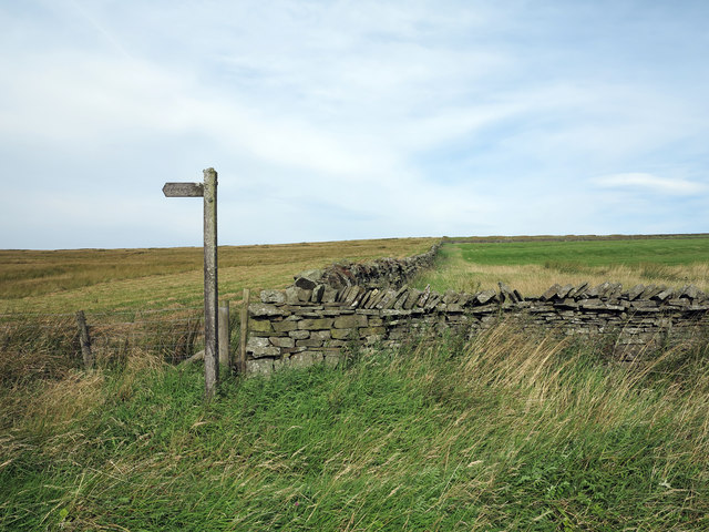
Greengill Wood is a picturesque woodland located in Yorkshire, England. Nestled in the heart of the countryside, this enchanting forest spans over a vast area of lush greenery and is home to a diverse range of flora and fauna.
With its towering trees and dense undergrowth, Greengill Wood offers a serene and tranquil environment for nature enthusiasts and hikers alike. The wood is primarily composed of deciduous trees, including oak, beech, and ash, which create a vibrant canopy during the summer months.
The forest floor is adorned with a carpet of wildflowers, adding a burst of color to the surroundings. Bluebells, primroses, and wood anemones are just a few of the species that bloom in abundance, attracting a variety of insects and small mammals.
Greengill Wood is also a haven for wildlife. The dense vegetation provides shelter and food sources for numerous species. Birdwatchers can spot woodland birds such as woodpeckers, nuthatches, and owls, while small mammals like squirrels and shrews scuttle through the undergrowth.
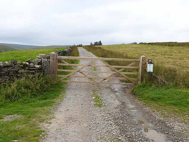
For visitors seeking outdoor activities, Greengill Wood offers several well-maintained walking trails. These paths wind through the forest, allowing visitors to immerse themselves in the natural beauty of the surroundings. There are also designated picnic areas where visitors can relax and enjoy a meal amidst the peaceful ambiance of the wood.
Greengill Wood, with its breathtaking scenery and abundant wildlife, is a true gem of Yorkshire, providing an idyllic escape for nature lovers and a valuable habitat for countless species.
If you have any feedback on the listing, please let us know in the comments section below.
Greengill Wood Images
Images are sourced within 2km of 54.581208/-2.1395048 or Grid Reference NY9120. Thanks to Geograph Open Source API. All images are credited.


Greengill Wood is located at Grid Ref: NY9120 (Lat: 54.581208, Lng: -2.1395048)
Division: North Riding
Unitary Authority: County Durham
Police Authority: Durham
What 3 Words
///trials.trophy.entitles. Near Holwick, Co. Durham
Nearby Locations
Related Wikis

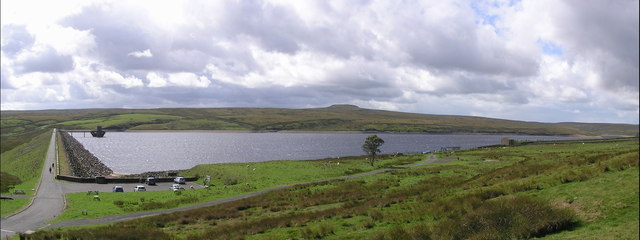
Selset Reservoir
Selset Reservoir is a reservoir in County Durham, England. It is situated in Lunedale which is a side valley of the River Tees, about 5 miles (8 km) west...

Grassholme
Grassholme is a village in County Durham, England.For centuries it lay within the historic county boundaries of the North Riding of Yorkshire, but, along...
Balderhead Reservoir
Balderhead Reservoir is a reservoir in Baldersdale, County Durham, England. It is one of a chain of three reservoirs on the River Balder, a tributary of...
Rigg Farm and Stake Hill Meadows
Rigg Farm and Stake Hill Meadows is a Site of Special Scientific Interest in the Teesdale district of County Durham, England. It is situated in Lunedale...
Thringarth
Thringarth is a hamlet in Lunedale, in the Pennines of England. It is traditionally located in the North Riding of Yorkshire but along with the rest of...

Hannah's Meadows
Hannah's Meadows is a Site of Special Scientific Interest in the Teesdale district of south-west County Durham, England. It consists of three fields,...

Grassholme Reservoir
Grassholme Reservoir is a large reservoir in County Durham, England. It is situated in Lunedale, which is a side valley of the River Tees, about 2 miles...
Hury
Hury is a village in Baldersdale, in the Pennines of England. It is located in the historic North Riding of Yorkshire. Along with the rest of the former...
Nearby Amenities
Located within 500m of 54.581208,-2.1395048Have you been to Greengill Wood?
Leave your review of Greengill Wood below (or comments, questions and feedback).