Selset Wood
Wood, Forest in Yorkshire
England
Selset Wood
Selset Wood, located in the county of Yorkshire, England, is a charming and picturesque woodland area renowned for its natural beauty and tranquility. Situated near the village of Langdon Beck, Selset Wood covers an area of approximately 300 hectares and is part of the larger North Pennines Area of Outstanding Natural Beauty.
The wood is primarily composed of a mix of broadleaf and coniferous trees, including oak, birch, beech, and spruce, creating a diverse and vibrant ecosystem. Walking through the wood, visitors are greeted with an enchanting atmosphere, as sunlight filters through the dense canopy, casting dappled shadows on the forest floor.
Selset Wood is intersected by several walking trails, offering visitors the opportunity to explore its hidden treasures. These well-maintained pathways wind through the wood, leading to stunning viewpoints, babbling streams, and peaceful glades. The trails cater to all levels of walkers, from casual strollers to experienced hikers.
The wood is also home to a variety of wildlife, including red squirrels, roe deer, and a multitude of bird species. Nature enthusiasts can spot woodpeckers, nuthatches, and tree creepers among the tree trunks, while the lucky few may even catch a glimpse of a pine marten or a fox.
With its idyllic setting and diverse flora and fauna, Selset Wood offers a perfect retreat for those seeking a break from the hustle and bustle of everyday life. Whether it's a leisurely stroll, birdwatching, or simply soaking in the peaceful ambiance, Selset Wood provides a truly rejuvenating experience in the heart of Yorkshire.
If you have any feedback on the listing, please let us know in the comments section below.
Selset Wood Images
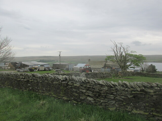
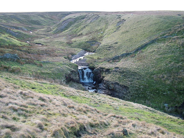
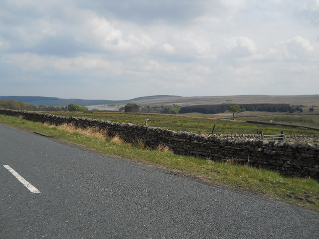
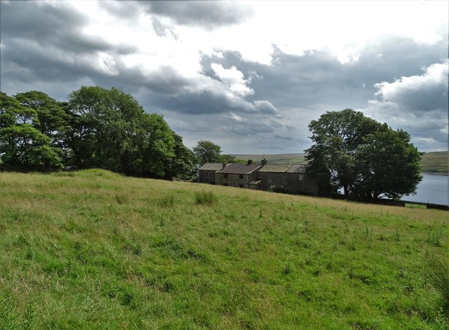
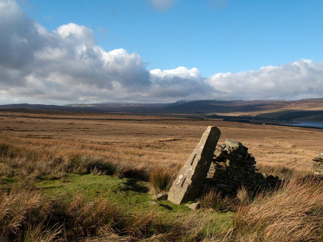
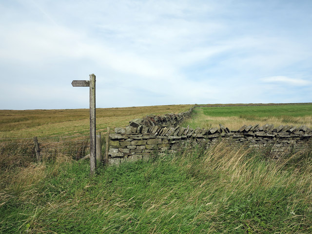
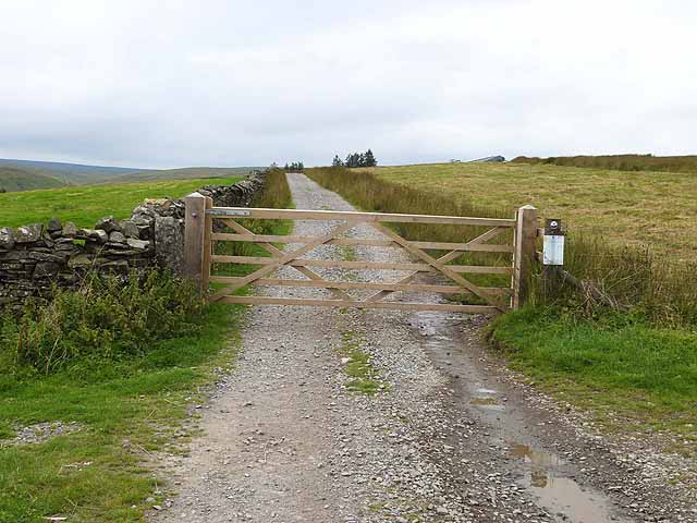
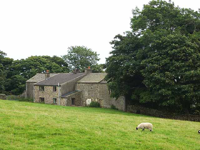
Images are sourced within 2km of 54.581332/-2.132806 or Grid Reference NY9120. Thanks to Geograph Open Source API. All images are credited.


Selset Wood is located at Grid Ref: NY9120 (Lat: 54.581332, Lng: -2.132806)
Division: North Riding
Unitary Authority: County Durham
Police Authority: Durham
What 3 Words
///skyrocket.backdrop.surcharge. Near Mickleton, Co. Durham
Nearby Locations
Related Wikis

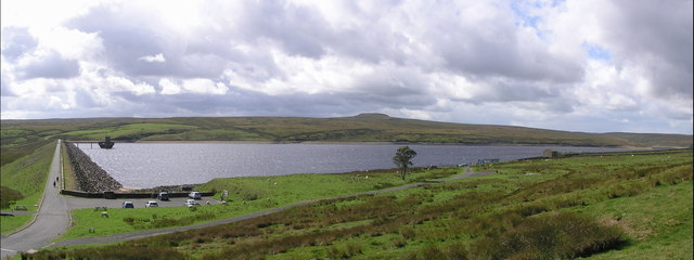
Selset Reservoir
Selset Reservoir is a reservoir in County Durham, England. It is situated in Lunedale which is a side valley of the River Tees, about 5 miles (8 km) west...

Grassholme
Grassholme is a village in County Durham, England.For centuries it lay within the historic county boundaries of the North Riding of Yorkshire, but, along...
Balderhead Reservoir
Balderhead Reservoir is a reservoir in Baldersdale, County Durham, England. It is one of a chain of three reservoirs on the River Balder, a tributary of...
Rigg Farm and Stake Hill Meadows
Rigg Farm and Stake Hill Meadows is a Site of Special Scientific Interest in the Teesdale district of County Durham, England. It is situated in Lunedale...
Nearby Amenities
Located within 500m of 54.581332,-2.132806Have you been to Selset Wood?
Leave your review of Selset Wood below (or comments, questions and feedback).