Salber Plantation
Wood, Forest in Yorkshire Craven
England
Salber Plantation
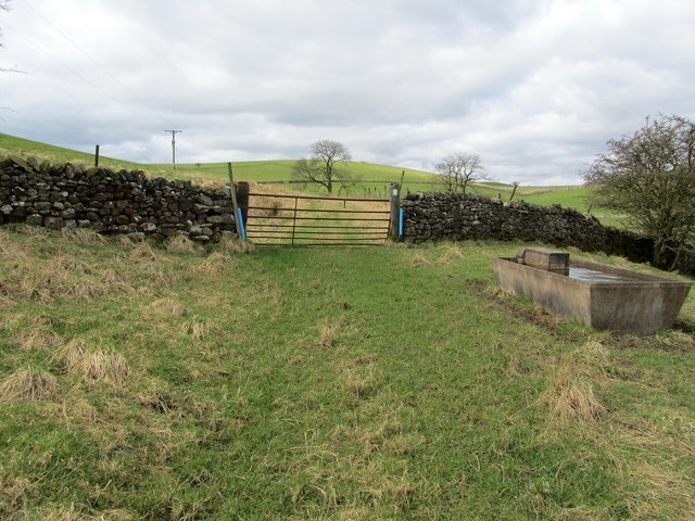
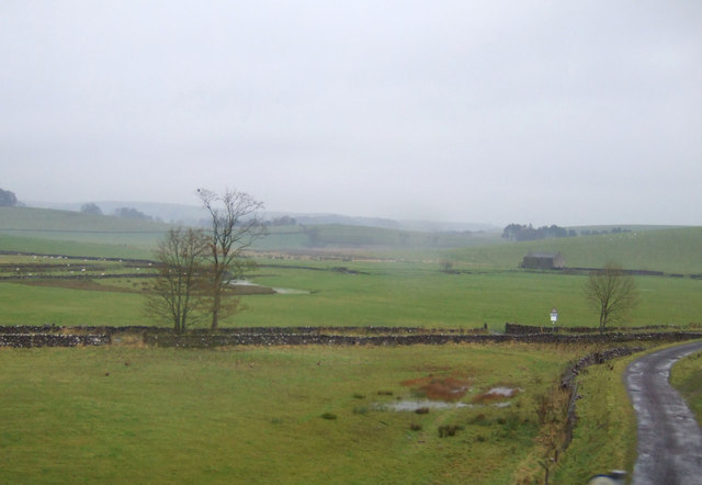
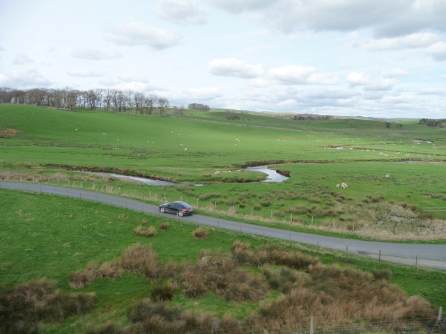
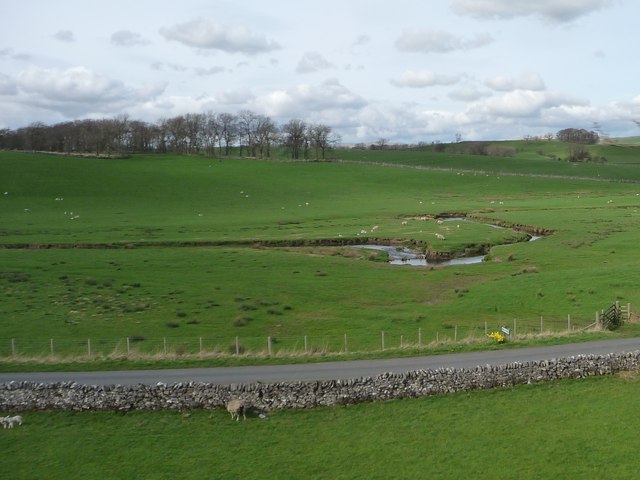
Salber Plantation, located in Yorkshire, is a magnificent woodland area known for its enchanting beauty and rich biodiversity. Situated in the heart of the county, the plantation is renowned for its expansive forest cover and diverse range of tree species, making it an important ecological site.
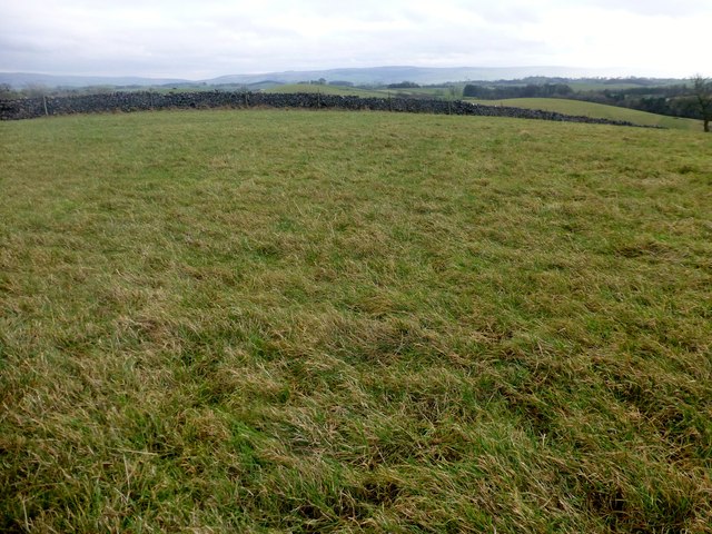
Covering an area of approximately 500 acres, Salber Plantation is predominantly composed of deciduous trees such as oak, beech, and ash, which create a stunning canopy during the spring and summer months. The plantation also boasts a significant population of coniferous trees, including pine and spruce, providing a contrasting landscape during the winter season.
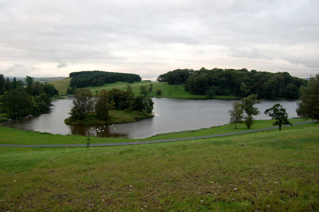
The woodland is home to an array of wildlife, making it a popular destination for nature enthusiasts and birdwatchers. Visitors can spot various bird species such as woodpeckers, owls, and kestrels, as well as mammals like badgers, foxes, and deer. The plantation's diverse ecosystem also supports a wide range of plant life, including bluebells, primroses, and ferns, adding to its natural charm.
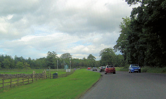
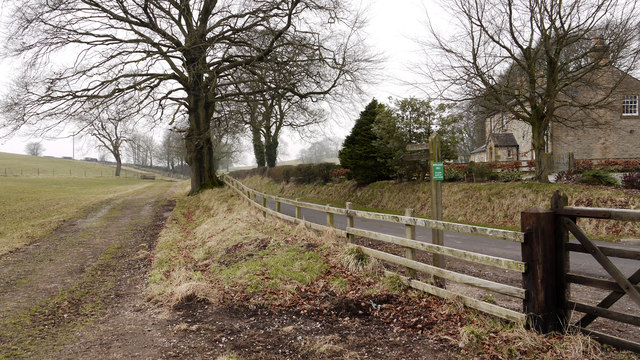
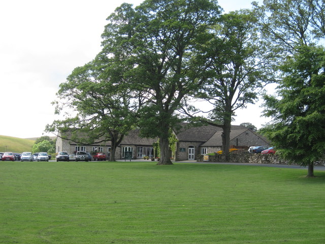
Salber Plantation offers numerous walking trails and paths, allowing visitors to explore its beauty while immersing themselves in nature. The peaceful ambiance and picturesque surroundings make it an ideal spot for relaxation, picnics, or leisurely walks.
Managed by local authorities, Salber Plantation is committed to preserving its natural heritage and promoting sustainable practices. Efforts to maintain the woodland's delicate ecosystem include regular tree maintenance, wildlife conservation initiatives, and the removal of invasive species.
Overall, Salber Plantation is a captivating woodland retreat in Yorkshire, offering visitors a chance to experience the tranquility and natural splendor of a thriving forest ecosystem.
If you have any feedback on the listing, please let us know in the comments section below.
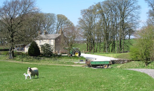
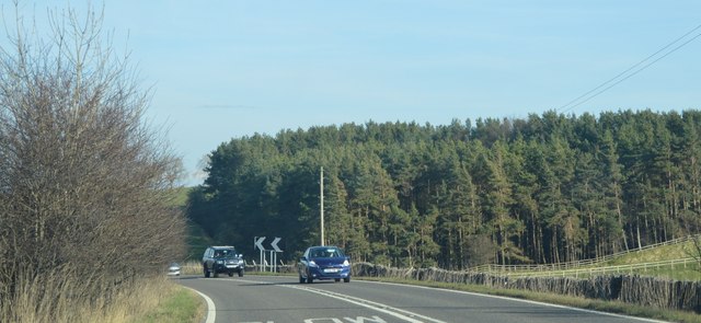
Salber Plantation Images
Images are sourced within 2km of 53.992863/-2.1434909 or Grid Reference SD9055. Thanks to Geograph Open Source API. All images are credited.
Salber Plantation is located at Grid Ref: SD9055 (Lat: 53.992863, Lng: -2.1434909)
Division: West Riding
Administrative County: North Yorkshire
District: Craven
Police Authority: North Yorkshire
What 3 Words
///scanning.gobbles.reverted. Near Gargrave, North Yorkshire
Nearby Locations
Related Wikis

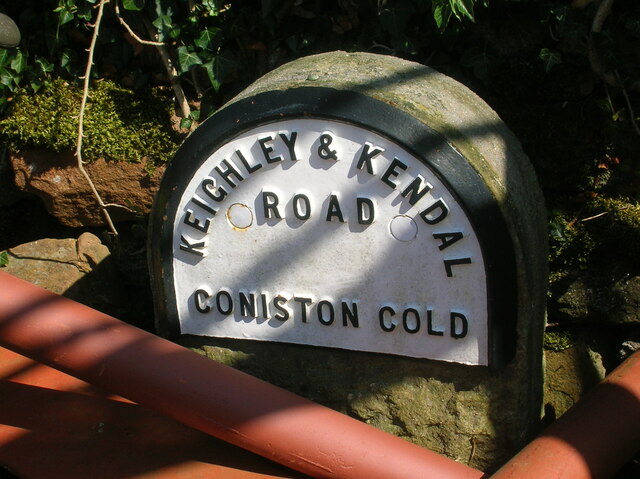
Coniston Cold
Coniston Cold is a village and civil parish in the Craven district of North Yorkshire, England. Historically part of the Staincliffe Wapentake of the West...

Bell Busk
Bell Busk is a hamlet situated in the Craven district of North Yorkshire, England. The hamlet is located at the southern end of Malhamdale where the nascent...

Bell Busk railway station
Bell Busk railway station served the hamlet of Bell Busk in North Yorkshire, England. It was located on the Leeds to Morecambe Line between Gargrave and...

A65 road
The A65 is a major road in England. It runs north west from Leeds in West Yorkshire via Kirkstall, Horsforth, Yeadon, Guiseley, Ilkley and Skipton, west...

Aire Gap
Aire Gap is a pass through the Pennines in England formed by geologic faults and carved out by glaciers. The term is used to describe a geological division...

Bank Newton
Bank Newton is a small settlement and civil parish in the Craven district of North Yorkshire, England. According to the 2001 census the parish had a population...

Gargrave
Gargrave is a large village and civil parish in the Craven district located along the A65, 4 miles (6 km) north-west of Skipton in North Yorkshire, England...

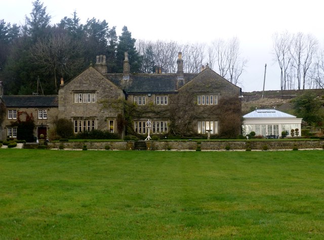
Newton Grange, Skipton
Newton Grange in Bank Newton, Skipton, in Yorkshire is a Georgian house of historical significance and is Grade II listed on the English Heritage Register...
Nearby Amenities
Located within 500m of 53.992863,-2.1434909Have you been to Salber Plantation?
Leave your review of Salber Plantation below (or comments, questions and feedback).