Hospital Plantation
Wood, Forest in Yorkshire Craven
England
Hospital Plantation
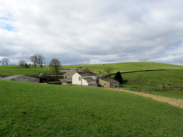
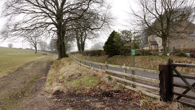
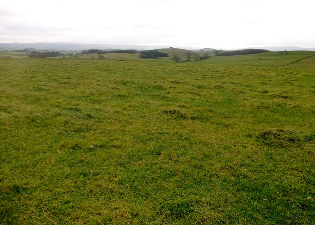
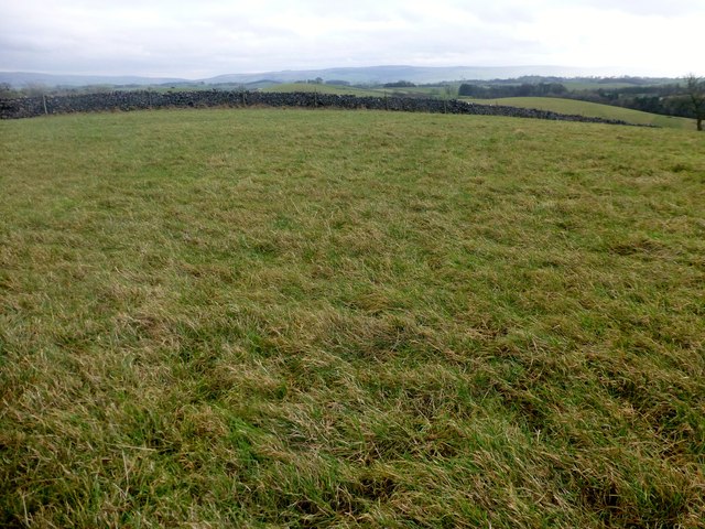
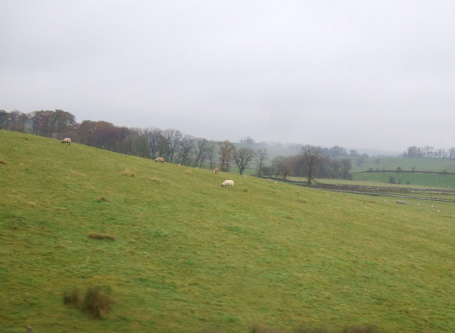
Hospital Plantation is a woodland located in the picturesque Yorkshire countryside of England. Situated in the region known as Wood, Forest, this plantation covers a vast area of lush greenery and natural beauty.
The woodland is known for its diverse range of tree species, including oak, beech, birch, and pine, which provide a habitat for an array of wildlife. Its dense foliage and well-maintained paths make it an ideal location for nature lovers and outdoor enthusiasts alike.
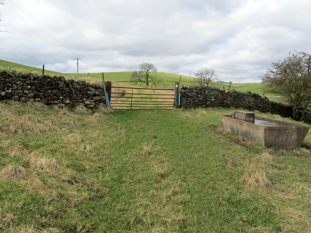
Hospital Plantation offers a peaceful and serene environment, providing visitors with a tranquil escape from the hustle and bustle of city life. The plantation is a popular destination for walking, jogging, and picnicking, with several designated picnic areas and benches scattered throughout the woodland.
For those interested in the local history, the plantation is believed to have been named after a nearby hospital that once existed in the area. The remnants of this hospital, along with other historical landmarks, can still be found within the woodland, adding an extra layer of intrigue and charm to the experience.
The plantation is well-maintained by local authorities, ensuring the safety and enjoyment of its visitors. There are signposts and information boards strategically placed throughout the woodland, providing valuable information about the various flora and fauna that can be found within.
Overall, Hospital Plantation in Yorkshire's Wood, Forest region offers a delightful and peaceful natural escape, where visitors can immerse themselves in the beauty of the surrounding woodland and enjoy the tranquility it provides.
If you have any feedback on the listing, please let us know in the comments section below.
Hospital Plantation Images
Images are sourced within 2km of 53.995778/-2.14826 or Grid Reference SD9055. Thanks to Geograph Open Source API. All images are credited.
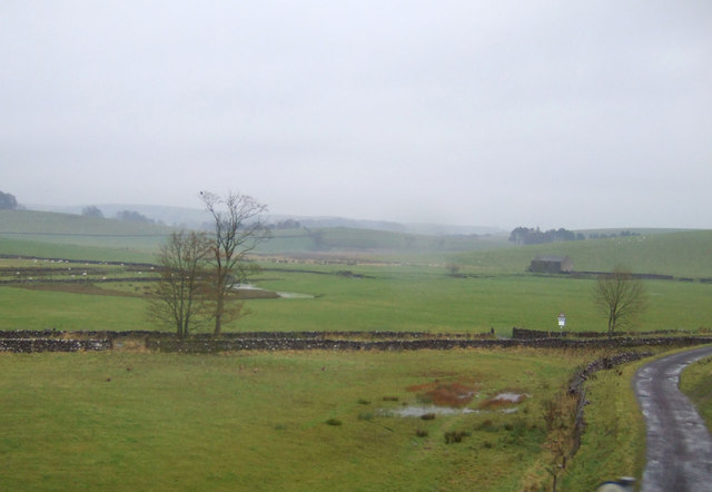
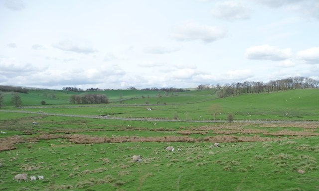
![Marsh by the road to Otterburn The parish boundary between Coniston Cold and Otterburn passes through this marsh (indeed the 1909 map indicates the boundary being 'C[entre of] Marsh') and it may therefore mark a previous course of Otterburn Beck.](https://s3.geograph.org.uk/geophotos/07/64/02/7640215_9135d7ac.jpg)
Hospital Plantation is located at Grid Ref: SD9055 (Lat: 53.995778, Lng: -2.14826)
Division: West Riding
Administrative County: North Yorkshire
District: Craven
Police Authority: North Yorkshire
What 3 Words
///sobs.superhero.drones. Near Gargrave, North Yorkshire
Nearby Locations
Related Wikis

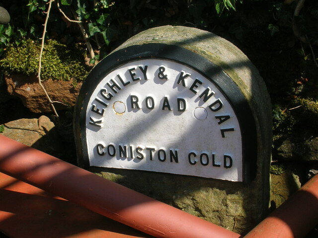
Coniston Cold
Coniston Cold is a village and civil parish in the Craven district of North Yorkshire, England. Historically part of the Staincliffe Wapentake of the West...

Bell Busk
Bell Busk is a hamlet situated in the Craven district of North Yorkshire, England. The hamlet is located at the southern end of Malhamdale where the nascent...

Bell Busk railway station
Bell Busk railway station served the hamlet of Bell Busk in North Yorkshire, England. It was located on the Leeds to Morecambe Line between Gargrave and...

A65 road
The A65 is a major road in England. It runs north west from Leeds in West Yorkshire via Kirkstall, Horsforth, Yeadon, Guiseley, Ilkley and Skipton, west...

Aire Gap
Aire Gap is a pass through the Pennines in England formed by geologic faults and carved out by glaciers. The term is used to describe a geological division...

Bank Newton
Bank Newton is a small settlement and civil parish in the Craven district of North Yorkshire, England. According to the 2001 census the parish had a population...

Newfield Hall
Newfield Hall is a former country house located 1 mile (1.6 km) to the southeast of the village of Airton, North Yorkshire, England. It is now a hotel...

Otterburn, North Yorkshire
Otterburn (historically known as Otterburn-in-Craven) is a village and civil parish in the Craven district of North Yorkshire, England. It is at OS Grid...
Nearby Amenities
Located within 500m of 53.995778,-2.14826Have you been to Hospital Plantation?
Leave your review of Hospital Plantation below (or comments, questions and feedback).