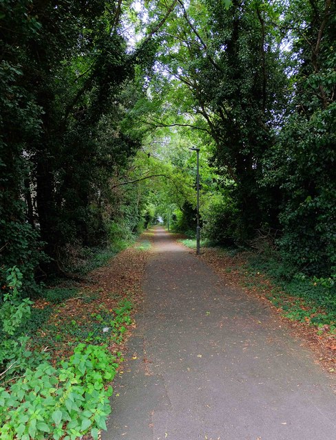
The Gorse

Wood, Forest in Wiltshire

England

The Gorse

Modern Milestone, Chippenham Without Opposite a petrol station on the A420, Bristol Road. 
This is a replacement for the old milestone
see <a href="https://www.geograph.org.uk/photo/6072414">ST8974 : Old Milestone by the A420, Bristol Road, west of Chippenham</a> sometime between April 2021 & October 2021.

Inscription: 7 Miles / To / Marshfield / 2 miles / To / Chippenham

Milestone Society National ID: WI_CPMF02 R
Modern Milestone, Chippenham Without Credit: Mr Red

The requested URL returned error: 429 Too Many Requests

If you have any feedback on the listing, please let us know in the comments section below.
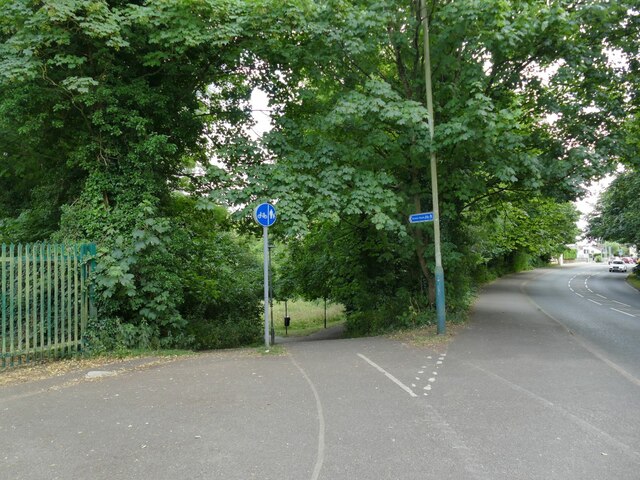
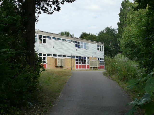
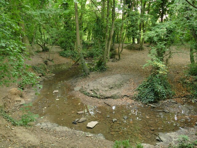
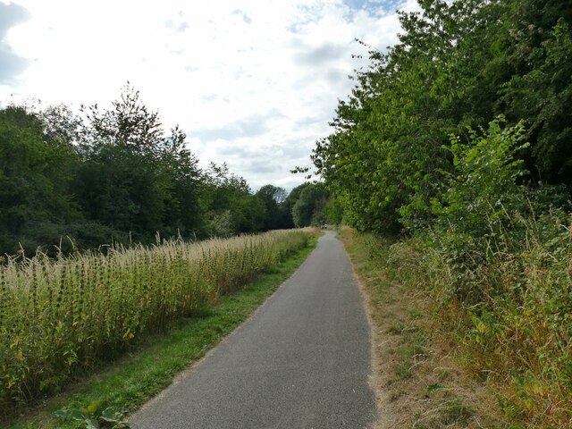
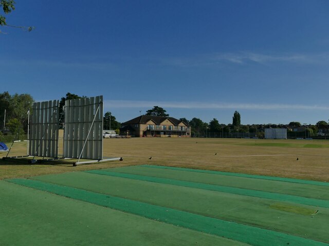
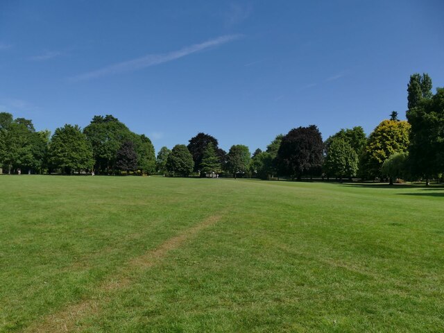
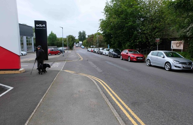
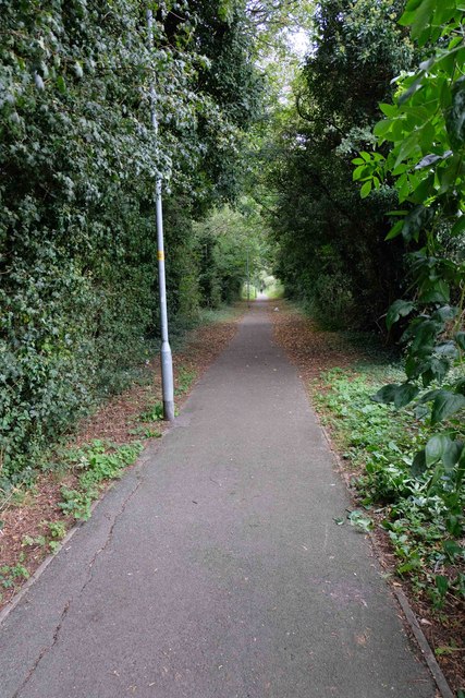
The Gorse Images

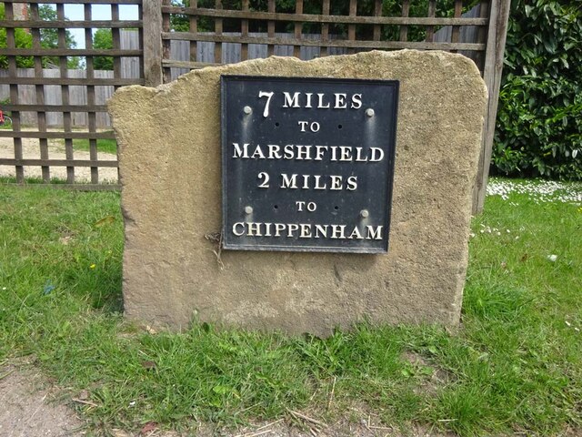
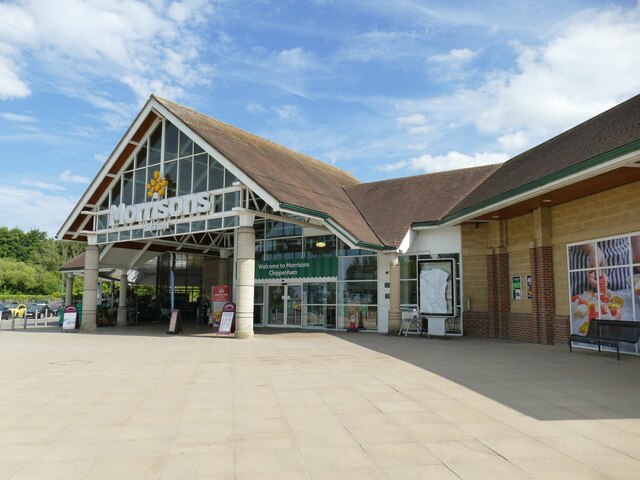
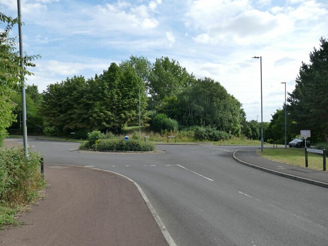
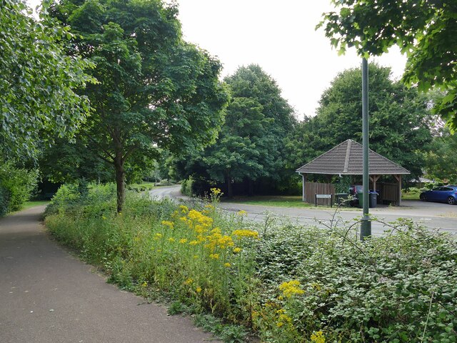
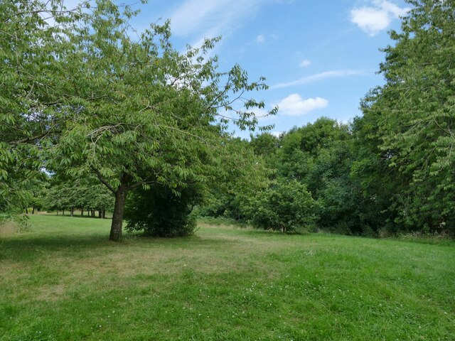
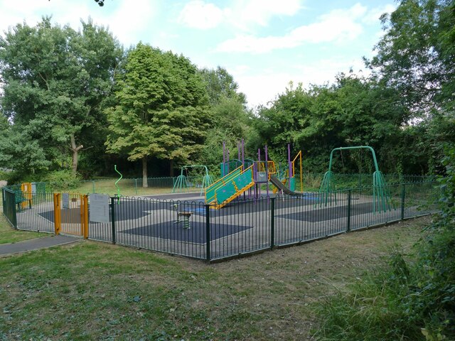
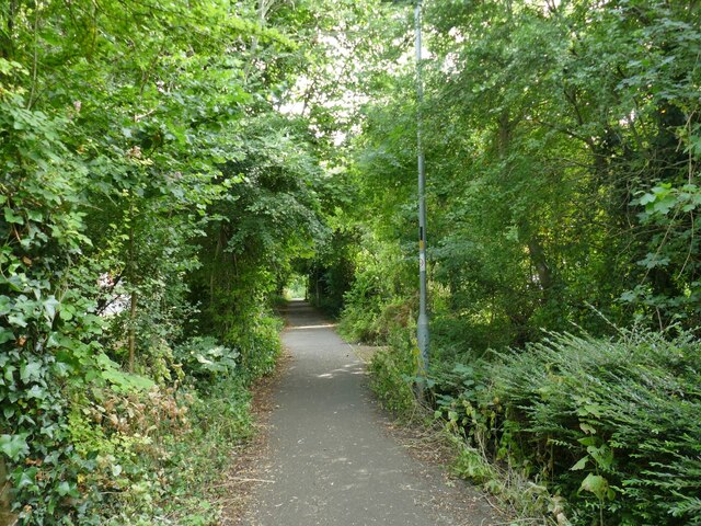
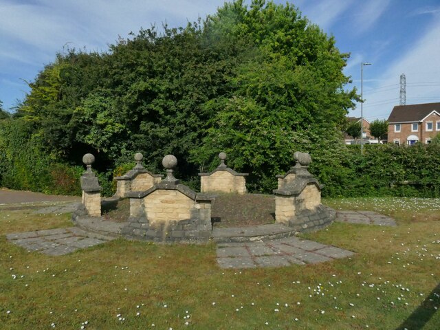
Images are sourced within 2km of 51.479489/-2.1399452 or Grid Reference ST9075. Thanks to Geograph Open Source API. All images are credited.

Modern Milestone, Chippenham Without Opposite a petrol station on the A420, Bristol Road. 
This is a replacement for the old milestone
see <a href="https://www.geograph.org.uk/photo/6072414">ST8974 : Old Milestone by the A420, Bristol Road, west of Chippenham</a> sometime between April 2021 & October 2021.

Inscription: 7 Miles / To / Marshfield / 2 miles / To / Chippenham

Milestone Society National ID: WI_CPMF02 R
Modern Milestone, Chippenham Without
Opposite a petrol station on the A420, Bristol Road. This is a replacement for the old milestone see ST8974 : Old Milestone by the A420, Bristol Road, west of Chippenham sometime between April 2021 & October 2021. Inscription: 7 Miles / To / Marshfield / 2 miles / To / Chippenham Milestone Society National ID: WI_CPMF02 R
Entrance to Chippenham Morrisons See <a href="https://www.geograph.org.uk/photo/5445435">ST9175 : Morrisons Superstore, Chippenham</a> for a wider context.
Entrance to Chippenham Morrisons
Roundabout on Stainers Way Where Barnes Road goes off to the left.
Roundabout on Stainers Way
Where Barnes Road goes off to the left.
Stainers Way with cycle path A segregated cycle path runs right through this housing estate, sometimes next to Stainers Way, sometimes diverging from it.
Stainers Way with cycle path
A segregated cycle path runs right through this housing estate, sometimes next to Stainers Way, sometimes diverging from it.
Open space off Stainers Way  When this housing estate at Hardenhuish was built, a generous amount of green space was left between areas of housing.
Open space off Stainers Way
When this housing estate at Hardenhuish was built, a generous amount of green space was left between areas of housing.
Playground by Stainers Way
Link path off Stainers Way  This short, straight section of footpath connects the housing estate to a longer foot and cycle path that runs for 1.3km alongside the Hardenhuish Brook from the ring road to Bristol Road on the outskirts of the town centre.
Link path off Stainers Way
This short, straight section of footpath connects the housing estate to a longer foot and cycle path that runs for 1.3km alongside the Hardenhuish Brook from the ring road to Bristol Road on the outskirts of the town centre.
The stone circle on Redwing Avenue I wondered whether this structure in a modern housing estate might be formed from parts of some historic house that once stood on the site, but a local person explained that the show houses for the estate were close by, and this was part of the developer's promotional work.
The stone circle on Redwing Avenue
I wondered whether this structure in a modern housing estate might be formed from parts of some historic house that once stood on the site, but a local person explained that the show houses for the estate were close by, and this was part of the developer's promotional work.
Cycleway off Hardenhuish Lane Part of a longer foot and cycle path that runs for 1.3km alongside the Hardenhuish Brook from the ring road to Bristol Road on the outskirts of the town centre.
Cycleway off Hardenhuish Lane
Part of a longer foot and cycle path that runs for 1.3km alongside the Hardenhuish Brook from the ring road to Bristol Road on the outskirts of the town centre.
Sheldon School, Chippenham A view through the gates at the rear entrance on Hardenhuish Lane. The school, originally for boys only, is now a co-educational comprehensive and claims to be the largest school in Wiltshire.
Sheldon School, Chippenham
A view through the gates at the rear entrance on Hardenhuish Lane. The school, originally for boys only, is now a co-educational comprehensive and claims to be the largest school in Wiltshire.
The Hardenhuish Brook Probably never much of a watercourse at the best of times, but with only a trickle of a flow in the dry summer of 2022.
The Hardenhuish Brook
Probably never much of a watercourse at the best of times, but with only a trickle of a flow in the dry summer of 2022.
Cycleway parallel to the Hardenhuish Brook This foot and cycle path runs for 1.1km alongside the Hardenhuish Brook from Bristol Road on the outskirts of the town centre to Stainers Way, beyond which it continues as a public footpath only, to and beyond the ring road.
Cycleway parallel to the Hardenhuish Brook
This foot and cycle path runs for 1.1km alongside the Hardenhuish Brook from Bristol Road on the outskirts of the town centre to Stainers Way, beyond which it continues as a public footpath only, to and beyond the ring road.
Chippenham Cricket Club The ground is off Bristol Road.
Chippenham Cricket Club
The ground is off Bristol Road.
North end of John Coles Park The north end of the park is open grassland for general recreational use.
North end of John Coles Park
The north end of the park is open grassland for general recreational use.
Chippenham Motor Company, Bumpers Way, Chippenham, Wilts Located on the Bumpers Farm Industrial Estate, the company is a main dealer for the Seat and Kia brands. It also sells secondhand cars of various brands.
Chippenham Motor Company, Bumpers Way, Chippenham, Wilts
Located on the Bumpers Farm Industrial Estate, the company is a main dealer for the Seat and Kia brands. It also sells secondhand cars of various brands.
Bumpers Way, Chippenham, Wilts Bumpers Way is one of the main roads in the Bumpers Farm Industrial Estate. Here it is passing Chippenham Motor Company on the left. 

<a href="https://www.geograph.org.uk/photo/7617452">ST9073 : Chippenham Motor Company, Bumpers Way, Chippenham, Wilts</a>.
Bumpers Way, Chippenham, Wilts
Bumpers Way is one of the main roads in the Bumpers Farm Industrial Estate. Here it is passing Chippenham Motor Company on the left. ST9073 : Chippenham Motor Company, Bumpers Way, Chippenham, Wilts.
Footpath from Bumpers Way to Lords Mead, Chippenham, Wilts This footpath connects the industrial area around Bumpers Way with the residential area of Lords Mead and nearby roads. The footpath also providers an access to Little Battens Park and its facilities.
Footpath from Bumpers Way to Lords Mead, Chippenham, Wilts
This footpath connects the industrial area around Bumpers Way with the residential area of Lords Mead and nearby roads. The footpath also providers an access to Little Battens Park and its facilities.
Footpath from Bumpers Way to Vincients Road, Chippenham, Wilts This footpath runs from Bumpers Way to Vincients Road. through the Bumpers Farm Industrial Estate.
Footpath from Bumpers Way to Vincients Road, Chippenham, Wilts
This footpath runs from Bumpers Way to Vincients Road. through the Bumpers Farm Industrial Estate.
Show me another place!

The Gorse is located at Grid Ref: ST9075 (Lat: 51.479489, Lng: -2.1399452)

Unitary Authority: Wiltshire

Police Authority: Wiltshire

What 3 Words

///reception.sailed.beep. Near Chippenham, Wiltshire

Nearby Locations

The Gorse

Related Wikis

Allington, North Wiltshire

Allington is a hamlet in north Wiltshire, England. It is on the edge of the market town of Chippenham, about 2 miles (3 km) north-west of the town centre...
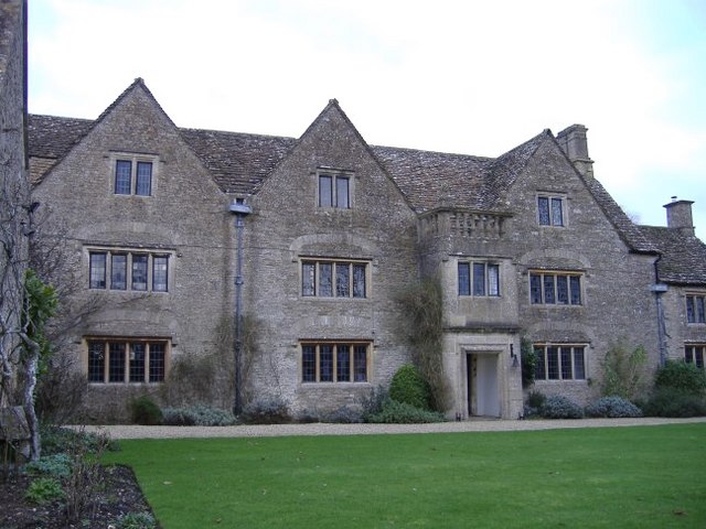
Bolehyde Manor

Bolehyde Manor is a 17th-century manor house at Allington, north-west of Chippenham, in Wiltshire, England. It is a Grade II* listed building within the...

Hardenhuish School

Hardenhuish School (formerly The Chippenham School, Chippenham Grammar School and Chippenham Girls' High School) is a large mixed secondary school and...

Sheldon School

Sheldon School (formerly Chippenham Boys' High School) is a large mixed secondary school and sixth form in Chippenham, Wiltshire for students aged 11 to...

Nearby Amenities

Located within 500m of 51.479489,-2.1399452
Golf: pin
Lat/Long: 51.4791837/-2.1367265
Golf: tee
Lat/Long: 51.4790028/-2.1366575
Golf: pin
Lat/Long: 51.4792908/-2.1381846
Golf: tee
Lat/Long: 51.47975/-2.1391711
Golf: pin
Lat/Long: 51.4797654/-2.1344417
Golf: tee
Lat/Long: 51.4799573/-2.1352736
Golf: pin
Lat/Long: 51.4802278/-2.1390232
Golf: tee
Lat/Long: 51.4810107/-2.1402372
Golf: pin
Lat/Long: 51.4801991/-2.1344602
Golf: tee
Lat/Long: 51.4798577/-2.1338955
Golf: tee
Lat/Long: 51.4824481/-2.1352943
Golf: pin
Lat/Long: 51.4809937/-2.134863
Golf: tee
Lat/Long: 51.481861/-2.1358489
Golf: pin
Lat/Long: 51.4814427/-2.1405074
Golf: tee
Lat/Long: 51.4810129/-2.1409634
Golf: pin
Lat/Long: 51.4795085/-2.141364
Golf: tee
Lat/Long: 51.47919/-2.1421835
Golf: pin
Lat/Long: 51.4816768/-2.1459178
Golf: tee
Lat/Long: 51.4818819/-2.1411462
Golf: pin
Lat/Long: 51.4825806/-2.1363692
Golf: tee
Lat/Long: 51.4819857/-2.1354261
Golf: pin
Lat/Long: 51.4799376/-2.1328623
The data included in this document is from www.openstreetmap.org. The data is made available under ODbL.

Have you been to The Gorse?

Leave your review of The Gorse below (or comments, questions and feedback).