Shipton Wood

Wood, Forest in Gloucestershire Cotswold

England

Shipton Wood

Field off the Fosse Way opposite Fosse Tilery Farm
Field off the Fosse Way opposite Fosse Tilery Farm Credit: Vieve Forward

Shipton Wood is a picturesque woodland located in the county of Gloucestershire, England. Situated near the village of Shipton Moyne, the wood covers an area of approximately 30 acres and is a cherished natural gem in the region.

The woodland is characterized by a diverse range of tree species, including towering oak, beech, and ash trees that dominate the canopy. This rich variety of trees creates a vibrant and lush environment, offering a habitat for a plethora of wildlife. Shipton Wood is known for its abundant birdlife, with species such as woodpeckers, tits, and thrushes regularly spotted among the branches. Other woodland creatures, including squirrels and badgers, also inhabit the area.

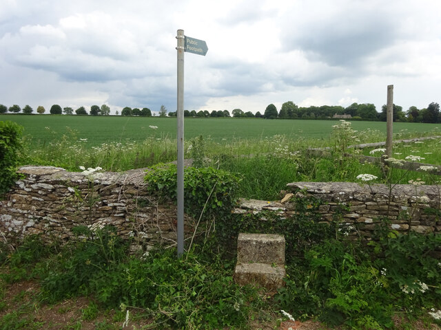
Visitors to Shipton Wood can enjoy a tranquil and peaceful atmosphere, as the wood is an ideal location for leisurely walks and exploration. A network of well-maintained trails winds through the wood, allowing visitors to immerse themselves in the natural beauty of the surroundings. In the spring, the forest floor comes alive with a carpet of bluebells, creating a breathtaking sight.

Managed by local conservation groups, Shipton Wood is protected and preserved to maintain its natural integrity. The wood serves as an important site for biodiversity and is valued for its contribution to the local ecosystem. It also offers educational opportunities, with guided tours and nature programs organized for schools and community groups.

Overall, Shipton Wood in Gloucestershire is a remarkable woodland, providing a haven for wildlife and a serene escape for nature enthusiasts. Its stunning beauty and commitment to conservation make it a cherished destination for visitors and a valuable asset to the local community.

If you have any feedback on the listing, please let us know in the comments section below.
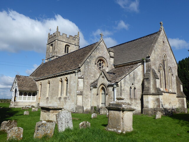
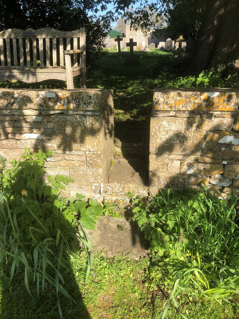
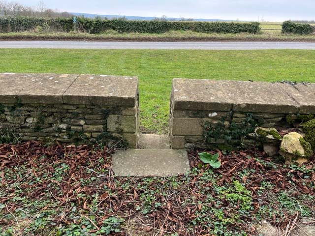
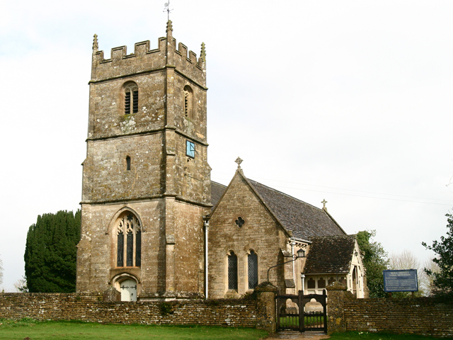
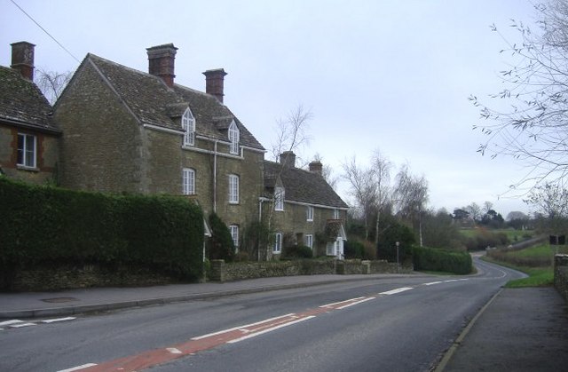
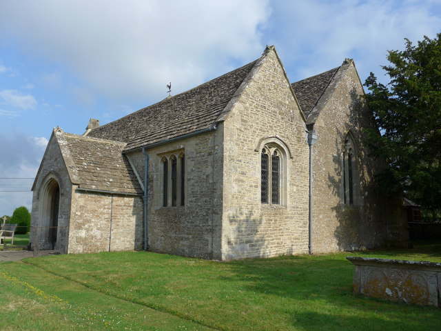
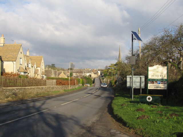
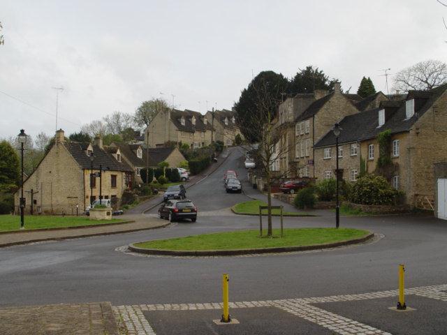
Shipton Wood Images

Images are sourced within 2km of 51.620327/-2.1356844 or Grid Reference ST9091. Thanks to Geograph Open Source API. All images are credited.

Field off the Fosse Way opposite Fosse Tilery Farm
Long Newnton, Holy Trinity
Stone Stile, Long Newnton Looking SW to the B4014, on Gloucestershire footpath NLN12
Stone Stile, Long Newnton
Looking SW to the B4014, on Gloucestershire footpath NLN12
Stone Stile, Long Newnton Looking NE from the B4014, on Gloucestershire footpath NLN12.
Stone Stile, Long Newnton
Looking NE from the B4014, on Gloucestershire footpath NLN12.
Stone Stile, Long Newnton Looking SW to the B4014 on Gloucestershire footpath NLN9. The view from the road is <a href="https://www.geograph.org.uk/photo/7194255">ST9191 : Stone Stile, Long Newnton</a>.
Stone Stile, Long Newnton
Looking SW to the B4014 on Gloucestershire footpath NLN9. The view from the road is ST9191 : Stone Stile, Long Newnton.
Stone Stile, Long Newnton Looking NE off the B4014 on Gloucestershire footpath NLN9 leading due East towards Newnton Farm. The view looking towards the road is <a href="https://www.geograph.org.uk/photo/7194252">ST9191 : Stone Stile, Long Newnton</a>.
Stone Stile, Long Newnton
Looking NE off the B4014 on Gloucestershire footpath NLN9 leading due East towards Newnton Farm. The view looking towards the road is ST9191 : Stone Stile, Long Newnton.
Stone Stile, Long Newnton A gap type stile in the churchyard wall of Holy Trinity Church looking from the road. Which one has to assume is Church Lane, because the house at the Southern junction with the B4104 is called Church Lane House. The view West is <a href="https://www.geograph.org.uk/photo/7419976">ST9092 : Stone Stile, Long Newnton</a>.
Stone Stile, Long Newnton
A gap type stile in the churchyard wall of Holy Trinity Church looking from the road. Which one has to assume is Church Lane, because the house at the Southern junction with the B4104 is called Church Lane House. The view West is ST9092 : Stone Stile, Long Newnton.
Stone Stile, Shipton Moyne On Gloucestershire footpath NSM8 off Fosse Way looking NW. The view SE is <a href="https://www.geograph.org.uk/photo/7410048">ST9089 : Stone Stile, Shipton Moyne</a>.
Stone Stile, Shipton Moyne
On Gloucestershire footpath NSM8 off Fosse Way looking NW. The view SE is ST9089 : Stone Stile, Shipton Moyne.
Stone Stile, Shipton Moyne On Gloucestershire footpath NSM8 off Fosse Way looking SE. The view NW is <a href="https://www.geograph.org.uk/photo/7410047">ST9089 : Stone Stile, Shipton Moyne</a>.
Stone Stile, Shipton Moyne
On Gloucestershire footpath NSM8 off Fosse Way looking SE. The view NW is ST9089 : Stone Stile, Shipton Moyne.
Stone Stile, Long Newnton A gap type stile in the churchyard wall of Holy Trinity Church looking from the road. Which one has to assume is Church Lane, because the house at the Southern junction with the B4104 is called Church Lane House. The view East is <a href="https://www.geograph.org.uk/photo/7205257">ST9092 : Stone Stile, Long Newnton</a>.
Stone Stile, Long Newnton
A gap type stile in the churchyard wall of Holy Trinity Church looking from the road. Which one has to assume is Church Lane, because the house at the Southern junction with the B4104 is called Church Lane House. The view East is ST9092 : Stone Stile, Long Newnton.
Holy Trinity Church Holy Trinity is the parish church at Long Newnton in Gloucestershire. Long Newnton is off the B4014 near Tetbury.
Holy Trinity Church
Holy Trinity is the parish church at Long Newnton in Gloucestershire. Long Newnton is off the B4014 near Tetbury.
Long Newnton Holy Trinity Church
The Monarch's Way  Long Newnton With Newnton Gorse and Addy's Firs in the distance looking north along the Monarch's Way, a 610-mile footpath following as closely as possible the King's (Charles II) epic journey from Worcester, through the Midlands and on to Bridport, then across the South Downs to Shoreham.
The Monarch's Way Long Newnton
With Newnton Gorse and Addy's Firs in the distance looking north along the Monarch's Way, a 610-mile footpath following as closely as possible the King's (Charles II) epic journey from Worcester, through the Midlands and on to Bridport, then across the South Downs to Shoreham.
Monarch's Way Looking West along The Monarch's Way; here it crosses the road on its way from Tetbury
Monarch's Way
Looking West along The Monarch's Way; here it crosses the road on its way from Tetbury
Rose and Crown, Brokenbororough This village pub has a large restaurant.
Rose and Crown, Brokenbororough
This village pub has a large restaurant.
St John the Baptist, Brokenborough. With an unusually modest wooden belltower.
St John the Baptist, Brokenborough.
With an unusually modest wooden belltower.
Main road at Long Newnton Looking South East on the B4014 between Tetbury and Malmesbury.
Main road at Long Newnton
Looking South East on the B4014 between Tetbury and Malmesbury.
Sunset Hill cottages Standing next to a fast section of the B4014 from Malmesbury to Tetbury.
Sunset Hill cottages
Standing next to a fast section of the B4014 from Malmesbury to Tetbury.
Show me another place!

Shipton Wood is located at Grid Ref: ST9091 (Lat: 51.620327, Lng: -2.1356844)

Administrative County: Gloucestershire

District: Cotswold

Police Authority: Gloucestershire

What 3 Words

///rinse.lifetimes.toast. Near Tetbury, Gloucestershire

Related Wikis

Long Newnton

Long Newnton is a small village and civil parish in Gloucestershire, England (historically in Wiltshire), lying on the B4014 road between Malmesbury (2...

RAF Long Newnton

Royal Air Force Long Newnton or more simply RAF Long Newnton is a former Royal Air Force satellite airfield in north Wiltshire, England, close to the Gloucestershire...

Tetbury railway station

Tetbury railway station was the terminus station on the Tetbury branch line, serving the Gloucestershire town of Tetbury. == History == The station was...

Brokenborough

Brokenborough is a village and civil parish about 1+1⁄2 miles (2.4 km) northwest of Malmesbury, Wiltshire in England. The course of the Fosse Way Roman...

Tetbury

Tetbury is a town and civil parish inside the Cotswold district in Gloucestershire, England. It lies on the site of an ancient hill fort, on which an Anglo...

A433 road

The A433 road is an A road and primary route in Gloucestershire, England. == Route == It starts at a junction with the A46 at Dunkirk (51.5754°N 2.3017...

Tetbury Woolsack Races

The Tetbury Woolsack Races are an annual sporting event in the English town of Tetbury, in Gloucestershire, where competitors must race up and down the...

Church of St Mary the Virgin, Tetbury

The Church of St Mary the Virgin is the parish church of Tetbury in the Cotswold District of Gloucestershire, England. It was built in 1781 incorporating...

Nearby Amenities

Located within 500m of 51.620327,-2.1356844
Shipton Mill
Building: manufacture
Source: GPS
Wikidata: Q26555626
Lat/Long: 51.6198872/-2.1304358
Shipton Mill
Lat/Long: 51.6198782/-2.1309439
The data included in this document is from www.openstreetmap.org. The data is made available under ODbL.

Have you been to Shipton Wood?

Leave your review of Shipton Wood below (or comments, questions and feedback).