Great Plantation

Wood, Forest in Dorset

England

Great Plantation

Ranges walk at West Creech Hill
Ranges walk at West Creech Hill Credit: Becky Williamson

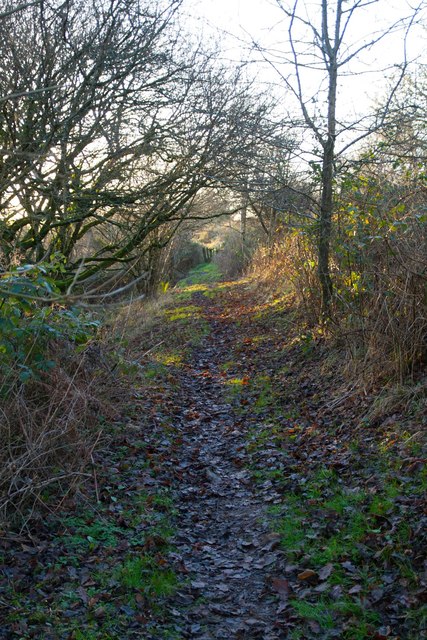
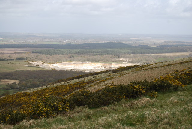
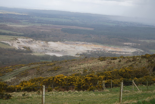
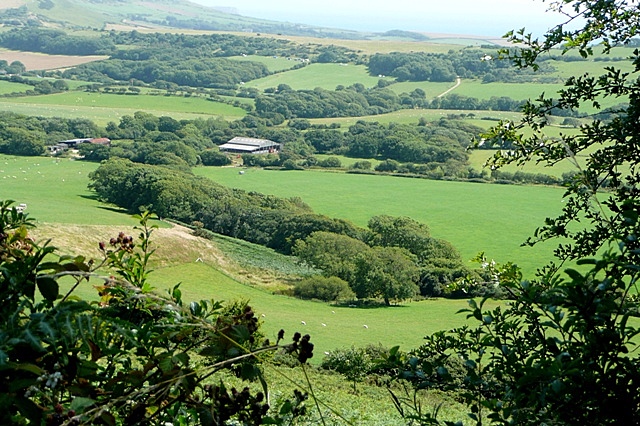
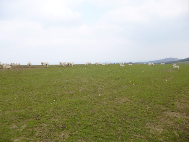
Great Plantation is a sprawling forested area located in Dorset, England. Spanning over a vast expanse of land, the plantation is known for its abundant wood resources and diverse flora and fauna.

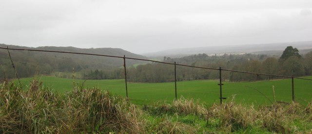
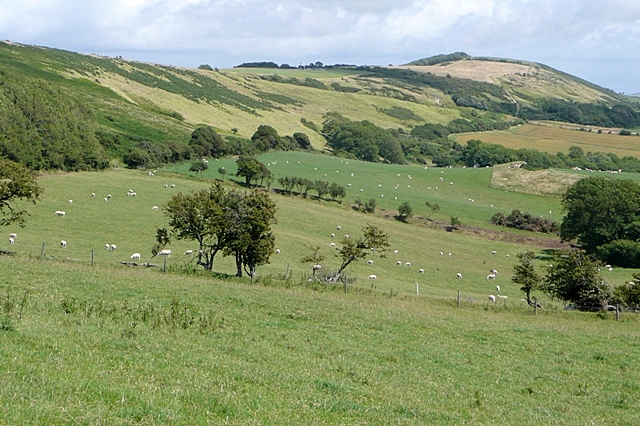
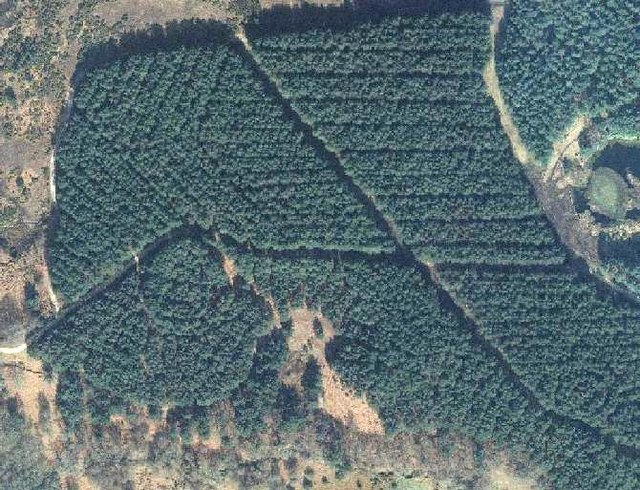
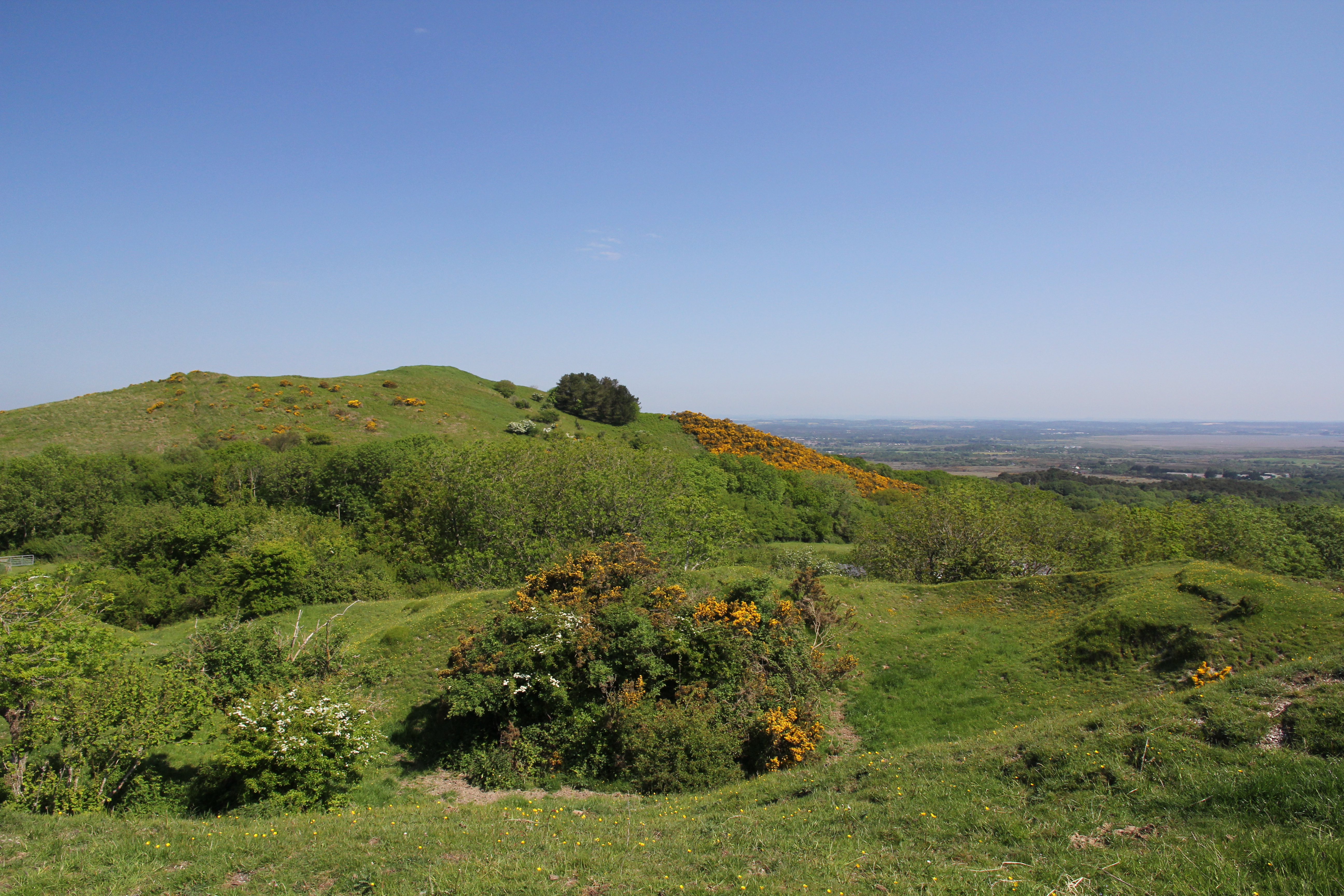
Covering an area of approximately [insert size], Great Plantation is a popular destination for nature enthusiasts, hikers, and wildlife lovers. The forest is dominated by a variety of tree species, including oak, beech, birch, and pine, creating a dense and picturesque landscape. The towering trees offer a tranquil and serene atmosphere, making it an ideal place for relaxation and exploration.

The plantation is renowned for its rich biodiversity, with numerous species of mammals, birds, and insects calling it home. Visitors to Great Plantation can expect to spot a wide array of wildlife, including deer, foxes, badgers, and a multitude of bird species. The forest also provides an important habitat for several endangered species, making it a crucial conservation area.

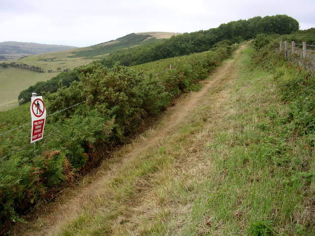
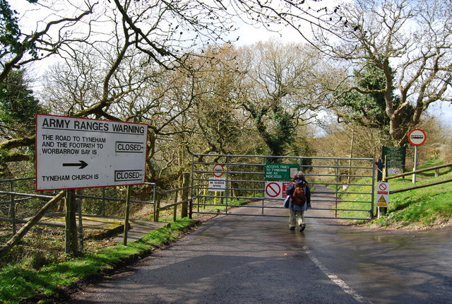
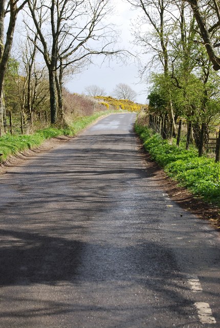
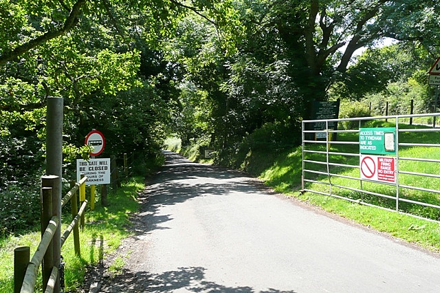
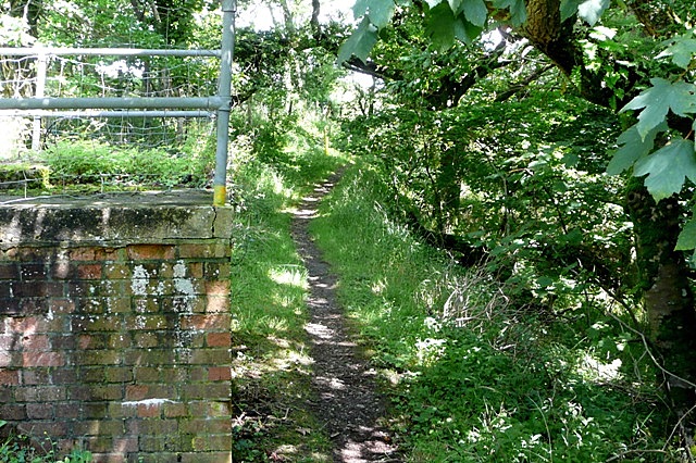
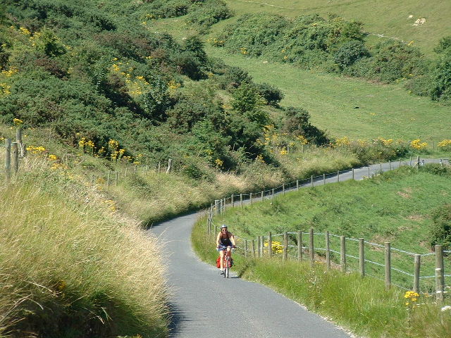
The plantation is well-maintained and offers a network of well-marked trails for visitors to explore. These trails vary in difficulty, catering to both casual walkers and seasoned hikers. Along the trails, visitors can enjoy scenic views, spot wildlife, and immerse themselves in the natural beauty of the area.

In addition to its natural attractions, Great Plantation also offers amenities such as picnic areas, visitor centers, and educational programs. These facilities aim to provide visitors with a comprehensive experience and foster an appreciation for the forest's ecological importance.

Overall, Great Plantation in Dorset is a captivating destination, offering a perfect blend of natural beauty, recreational opportunities, and environmental conservation.

If you have any feedback on the listing, please let us know in the comments section below.

Great Plantation Images

Images are sourced within 2km of 50.645917/-2.1328106 or Grid Reference SY9082. Thanks to Geograph Open Source API. All images are credited.

Ranges walk at West Creech Hill
Range walk on West Creech Hill This grid square is within the MoD's Lulworth ranges and public access to this grid square is limited to the road (to the right), this path, and the lane that branches off to the ruined village of Tyneham. These routes are only open when the range is not firing (most weekends and holidays) and they are checked by the MoD to ensure that they are free from unexploded shells and debris.
Range walk on West Creech Hill
This grid square is within the MoD's Lulworth ranges and public access to this grid square is limited to the road (to the right), this path, and the lane that branches off to the ruined village of Tyneham. These routes are only open when the range is not firing (most weekends and holidays) and they are checked by the MoD to ensure that they are free from unexploded shells and debris.
Eastern end of the Lulworth range walk The cabin on the left houses an MoD sentry when the Lulworth tank ranges are closed to the public. It marks the eastern end of the range walk along the ridgeway. The small stone marker in the foreground on the right is a modern milestone. In the distance a red warning flag flies at the car park and picnic area, with Grange Hill beyond.
Eastern end of the Lulworth range walk
The cabin on the left houses an MoD sentry when the Lulworth tank ranges are closed to the public. It marks the eastern end of the range walk along the ridgeway. The small stone marker in the foreground on the right is a modern milestone. In the distance a red warning flag flies at the car park and picnic area, with Grange Hill beyond.
Clay Pit and West Creech Farm The image is taken from the viewpoint above West Creech Hill. The subject lies within the huge tank training range and is inaccessible to the public.
Clay Pit and West Creech Farm
The image is taken from the viewpoint above West Creech Hill. The subject lies within the huge tank training range and is inaccessible to the public.
West Creech Clay Pit Clay pit in the Tertiary beds.
West Creech Clay Pit
Clay pit in the Tertiary beds.
Clay Pit West Creech clay pit in the Tertiary beds of Dorset.
Clay Pit
West Creech clay pit in the Tertiary beds of Dorset.
The road to Tyneham This road is closed most of the year as it is part of the Lulworth ranges.
The road to Tyneham
This road is closed most of the year as it is part of the Lulworth ranges.
Road along West Creech Hill
East Creech near Wareham Looking to the left at Great Wood on West Creech Hill.
East Creech near Wareham
Looking to the left at Great Wood on West Creech Hill.
Farmland above Lutton Gwyle Everything to the right of the ridge lies within the army firing range.  This is unpopulated but still used for sheep pasture.  The roads and footpaths are accessible on non-firing days, about 137 per year.
Farmland above Lutton Gwyle
Everything to the right of the ridge lies within the army firing range. This is unpopulated but still used for sheep pasture. The roads and footpaths are accessible on non-firing days, about 137 per year.
Lane to Tyneham This gate marks the start of the lane to Tyneham, a village abandoned in 1943 when the army commandeered the area for a firing range.  It is now open to the public on non-firing days, and the open gate and green sign indicate that today is one of those days.  There are still plenty of "don'ts" though.
Lane to Tyneham
This gate marks the start of the lane to Tyneham, a village abandoned in 1943 when the army commandeered the area for a firing range. It is now open to the public on non-firing days, and the open gate and green sign indicate that today is one of those days. There are still plenty of "don'ts" though.
Footpath at West Creech Hill This permissive path lies just within the army firing range area, but is open even on firing days and is better than walking along the busy, narrow lane to the left.
Footpath at West Creech Hill
This permissive path lies just within the army firing range area, but is open even on firing days and is better than walking along the busy, narrow lane to the left.
Towards Lutton This looks like an idyllic country scene.  In once sense it is, as it is virtually unchanged for nearly 70 years.  This is because it is part of the army firing range commandeered in 1943 and uninhabited since.  Lutton farm, in the centre of the picture, is just outside the range area.
Towards Lutton
This looks like an idyllic country scene. In once sense it is, as it is virtually unchanged for nearly 70 years. This is because it is part of the army firing range commandeered in 1943 and uninhabited since. Lutton farm, in the centre of the picture, is just outside the range area.
Burnt offering at West Creech Hill Although this is adjacent to the army firing range I suspect that this is not their doing.  It has probably been nicked, driven up here and torched.
Burnt offering at West Creech Hill
Although this is adjacent to the army firing range I suspect that this is not their doing. It has probably been nicked, driven up here and torched.
Aerial view, King's Standing, Grange Heath
Aerial view of part of SY8984, a danger area
West Creech, sheep grazing On the summit of West Creech Hill.
West Creech, sheep grazing
On the summit of West Creech Hill.
Stonehill Down Looking NW down the steep hill - tough work on a Tandem!
Stonehill Down
Looking NW down the steep hill - tough work on a Tandem!
Show me another place!

Great Plantation is located at Grid Ref: SY9082 (Lat: 50.645917, Lng: -2.1328106)

Unitary Authority: Dorset

Police Authority: Dorset

What 3 Words

///issues.dispensed.rebounds. Near Wareham, Dorset

Related Wikis

Creech Grange

Creech Grange is a country house in Steeple, south of Wareham in Dorset at the foot of the Purbeck Hills. Historic England designate it as a Grade I listed...

Grange Arch

Grange Arch, also known as Creech Folly, is an 18th-century folly that is located near the second highest point of the Purbeck Hills, Ridgeway Hill (199...

Ridgeway Hill

Ridgeway Hill, also referred to as Grange Hill or Steeple Hill, is the third highest point of the Purbeck Hills in the county of Dorset standing at 199...

Creech Barrow Hill

Creech Barrow Hill is a steep, conical hill, 193 metres (633 ft) (one source 637 feet) high, near the coast of Dorset, England, and the highest point of...

Purbeck Hills

The Purbeck Hills, also called the Purbeck Ridge or simply the Purbecks, are a ridge of chalk downs in Dorset, England. It is formed by the structure known...

Steeple, Dorset

Steeple is a hamlet and former civil parish, now in the civil parish of Steeple with Tyneham, in the Purbeck district of the English county of Dorset....

Stonehill Down Nature Reserve

The Stonehill Down Nature Reserve is a downland nature reserve on the Purbeck Hills in the county of Dorset, England. It is managed by the Dorset Wildlife...

East Creech

East Creech is a hamlet in the parish of Church Knowle in the county of Dorset, England. East Creech lies at the northern foot of the Purbeck Hills about...

Have you been to Great Plantation?

Leave your review of Great Plantation below (or comments, questions and feedback).