Holme Lane Plantation
Wood, Forest in Dorset
England
Holme Lane Plantation
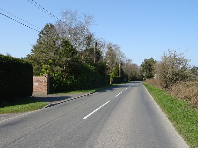
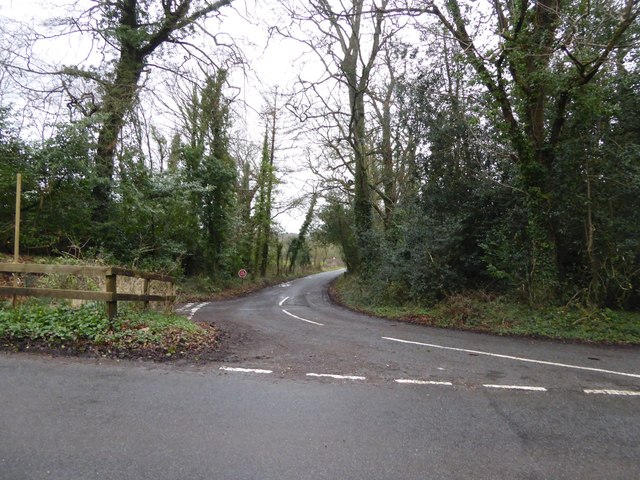
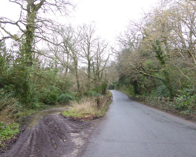
Holme Lane Plantation is a picturesque woodland located in Dorset, England. Covering an area of approximately 100 acres, it is a haven for nature lovers and outdoor enthusiasts. The plantation is characterized by its dense tree cover, consisting primarily of native species such as oak, beech, and birch, creating a vibrant and diverse ecosystem.
The woodland is home to a plethora of wildlife, including a variety of bird species, small mammals, and insects. Visitors can often spot woodpeckers, owls, and deer amidst the trees, making it an ideal spot for birdwatching and wildlife photography.
Holme Lane Plantation boasts a network of well-maintained footpaths, allowing visitors to explore the woodland at their own pace. The paths wind through the trees, offering scenic views and tranquil surroundings. The plantation also features a small stream that meanders through the heart of the woodland, adding to its charm and natural beauty.
The plantation is open to the public all year round, and there is no admission fee, making it an accessible destination for families and individuals alike. It offers a peaceful retreat from the hustle and bustle of everyday life, providing a serene environment for relaxation and rejuvenation.
Overall, Holme Lane Plantation is a delightful woodland that showcases the natural beauty of Dorset. With its diverse flora and fauna, well-maintained trails, and tranquil atmosphere, it is a must-visit destination for nature enthusiasts and those seeking a peaceful escape in the heart of the English countryside.
If you have any feedback on the listing, please let us know in the comments section below.
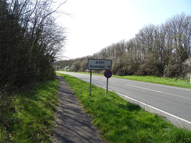
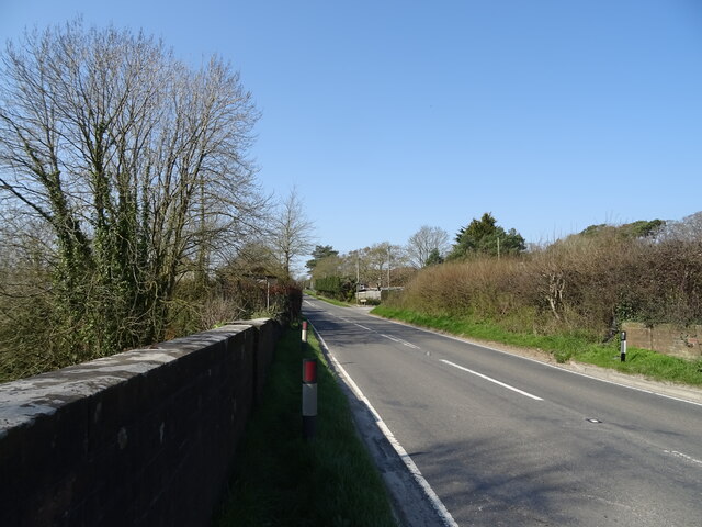
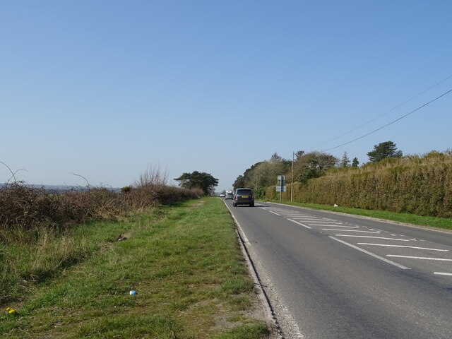
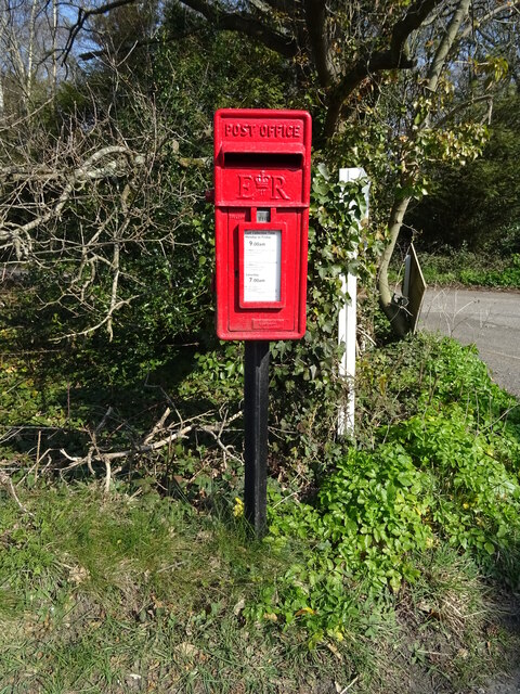
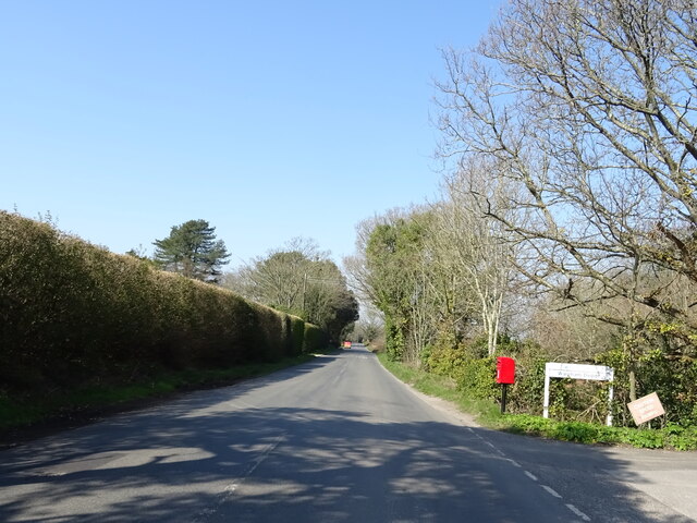
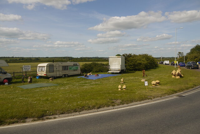
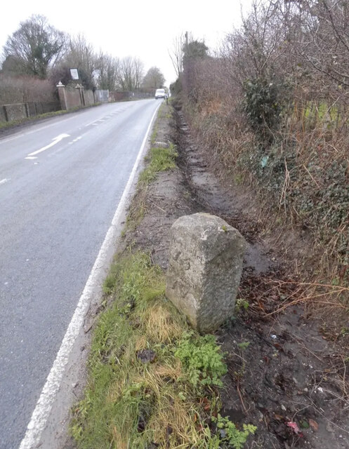
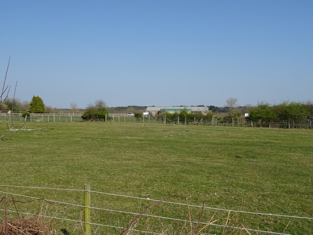
Holme Lane Plantation Images
Images are sourced within 2km of 50.670314/-2.1331908 or Grid Reference SY9085. Thanks to Geograph Open Source API. All images are credited.


Holme Lane Plantation is located at Grid Ref: SY9085 (Lat: 50.670314, Lng: -2.1331908)
Unitary Authority: Dorset
Police Authority: Dorset
What 3 Words
///trudges.fussed.essential. Near Wareham, Dorset
Nearby Locations
Related Wikis

Holme Priory
Holme Priory, also known as East Holne Priory, was a priory in Dorset, England. == 12th century == The priory of Holme, or Holne as it was anciently called...

East Holme
East Holme is a small village and civil parish situated about halfway between Wool and Wareham in Dorset, England. The village is sprawled around a large...

Worgret
Worgret is a hamlet in the English county of Dorset. It is situated immediately to the west of the town of Wareham. Worgret forms part of the civil parish...
The Purbeck School
The Purbeck School is a coeducational secondary school and sixth form located in Wareham in the central southern area of Dorset, England, on the Isle of...
Purbeck miniature railway
Purbeck Miniature Railway was a 7+1⁄4 in (184 mm) gauge miniature railway, located at The Purbeck School near Wareham, Dorset, England. Construction started...

Stoborough
Stoborough () is a village in the English county of Dorset. It is situated one mile to the south of the town of Wareham, and separated from it by the River...
Worgret Heath
Worgret Heath SSSI, Dorset (grid reference SY895871) is an 8.4 hectare biological Site of Special Scientific Interest in Dorset, notified in 1987.The site...
Stoborough Green
Stoborough Green is a village in the English county of Dorset. It is situated to the south of the village of Stoborough and about 2 kilometres south of...
Related Videos


Wareham day trip - Vlog # 8 - Dorset holiday June 2022
dorset #wareham #caravanningukcommunity #caravanningcommunity #caravanholidays #vlogs #holidayvlogs The final Vlog of ...

![WALKS IN DORSET at WAREHAM (THE RIVER FROME & RIVER PIDDLE) [4K]](https://i.ytimg.com/vi/72VPzYx48No/hqdefault.jpg)
WALKS IN DORSET at WAREHAM (THE RIVER FROME & RIVER PIDDLE) [4K]
This is another video in my series “ Walks in Dorset” accompanied by my Whippet (Logan). In this episode, I visit the town of ...
Nearby Amenities
Located within 500m of 50.670314,-2.1331908Have you been to Holme Lane Plantation?
Leave your review of Holme Lane Plantation below (or comments, questions and feedback).