Norn Covert
Wood, Forest in Gloucestershire Cotswold
England
Norn Covert
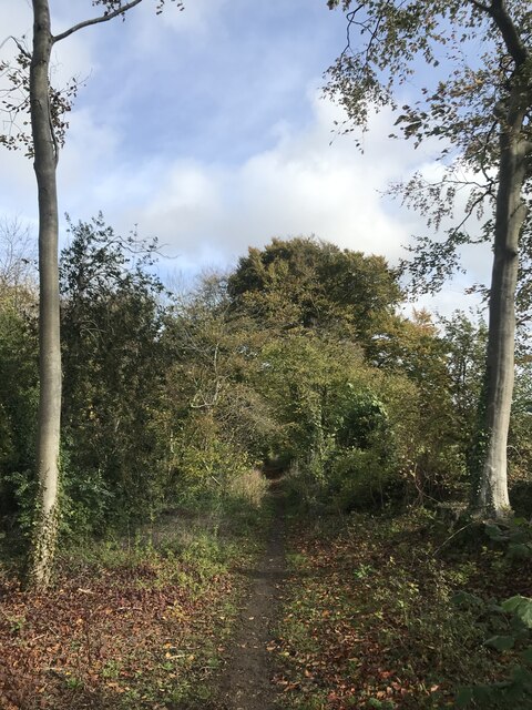
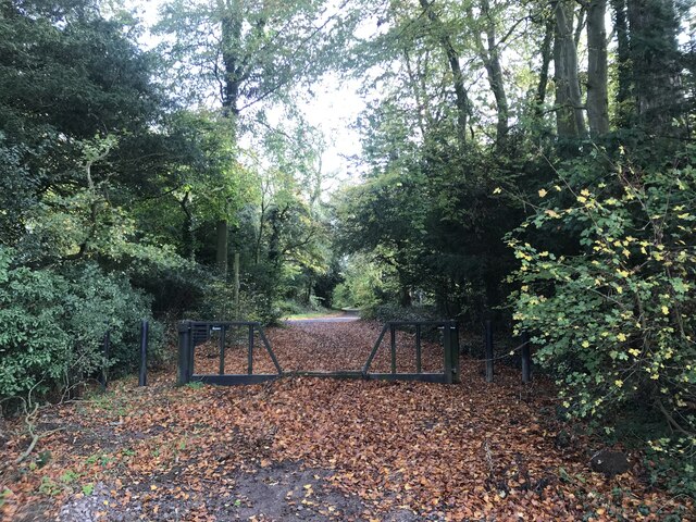
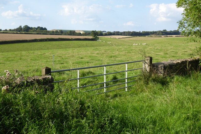
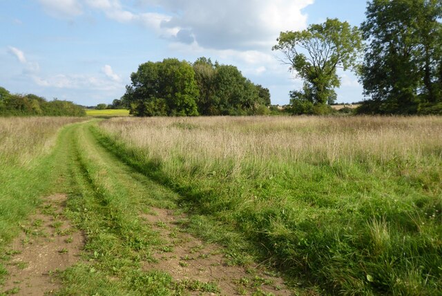
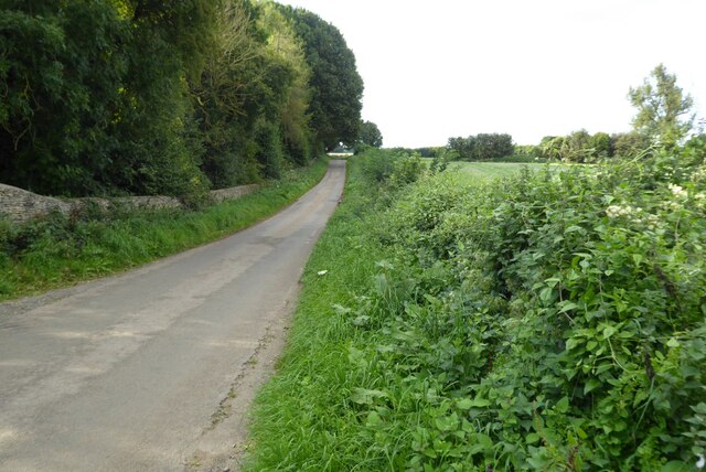
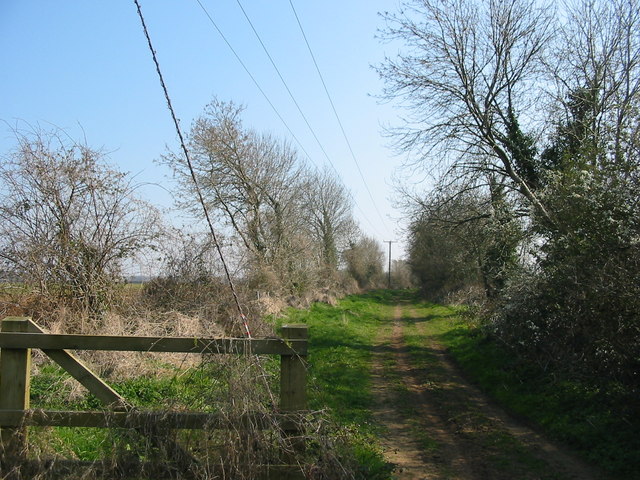
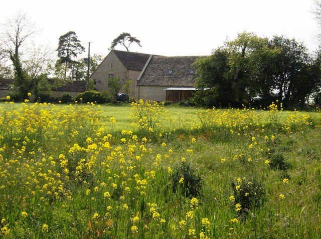
Norn Covert is a picturesque woodland located in Gloucestershire, England. Situated within the larger Forest of Dean, this woodland area covers a vast expanse, providing a serene and tranquil environment for visitors to explore and enjoy.
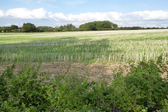
The woodland is predominantly composed of various tree species, including oak, beech, birch, and ash. These trees create a dense canopy overhead, casting dappled sunlight onto the forest floor below. The woodland is also home to a diverse range of flora and fauna, with an abundance of wildflowers, ferns, and mosses adding to its natural beauty.
Norn Covert offers numerous walking trails and paths, allowing visitors to immerse themselves in the peaceful surroundings. As they wander through the woodland, visitors can admire the towering trees, listen to the melodic songs of the birds, and spot various wildlife species such as deer, foxes, and squirrels.
Furthermore, Norn Covert is known for its historical significance. The woodland has been in existence for centuries and has witnessed various events throughout history. It is believed that the woodland was once used as a hunting ground by the ancient Romans, and remnants of their occupation can still be found within the area.
Overall, Norn Covert is a haven for nature enthusiasts and history buffs alike. Its breathtaking scenery, diverse wildlife, and rich historical background make it a must-visit destination for those seeking solace in the beauty of nature.
If you have any feedback on the listing, please let us know in the comments section below.
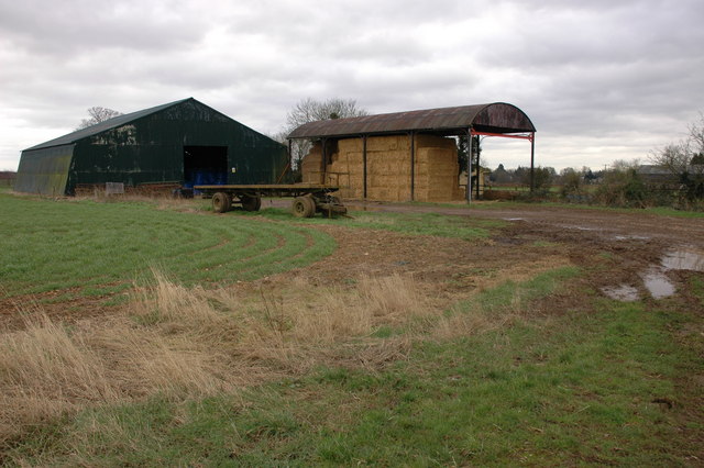
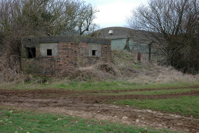
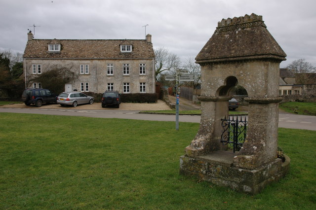
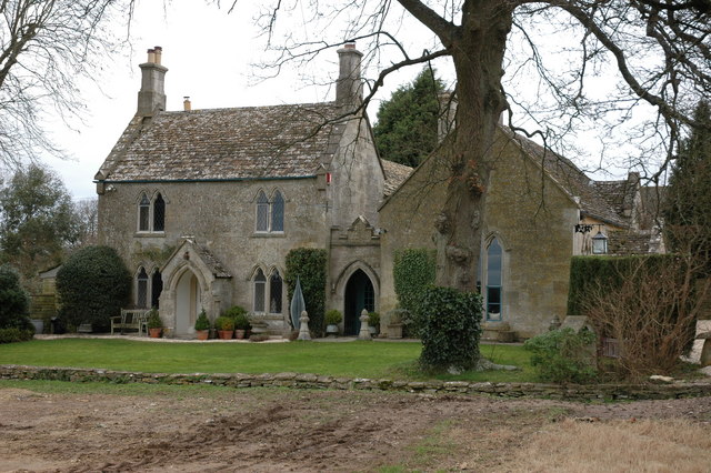
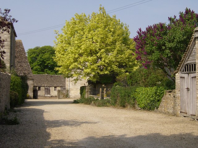
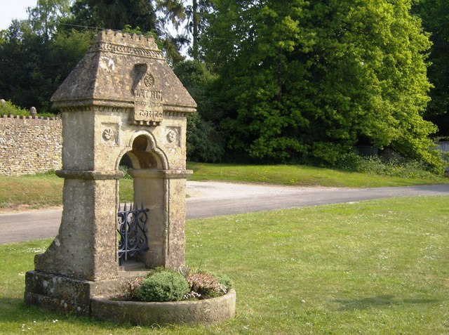
Norn Covert Images
Images are sourced within 2km of 51.685882/-2.1502445 or Grid Reference ST8998. Thanks to Geograph Open Source API. All images are credited.
Norn Covert is located at Grid Ref: ST8998 (Lat: 51.685882, Lng: -2.1502445)
Administrative County: Gloucestershire
District: Cotswold
Police Authority: Gloucestershire
What 3 Words
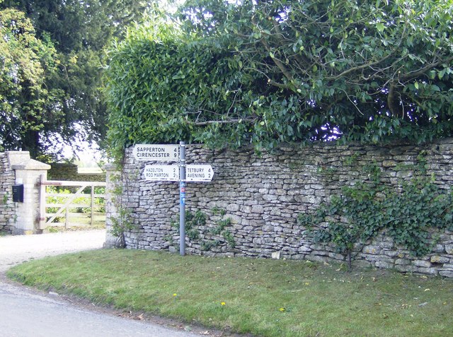
///influence.wordplay.beanbag. Near Avening, Gloucestershire
Nearby Locations
Related Wikis

Cherington, Gloucestershire
Cherington is a village and civil parish in the Cotswold District of Gloucestershire, England. It lies under 3 miles south east of Minchinhampton and 4...
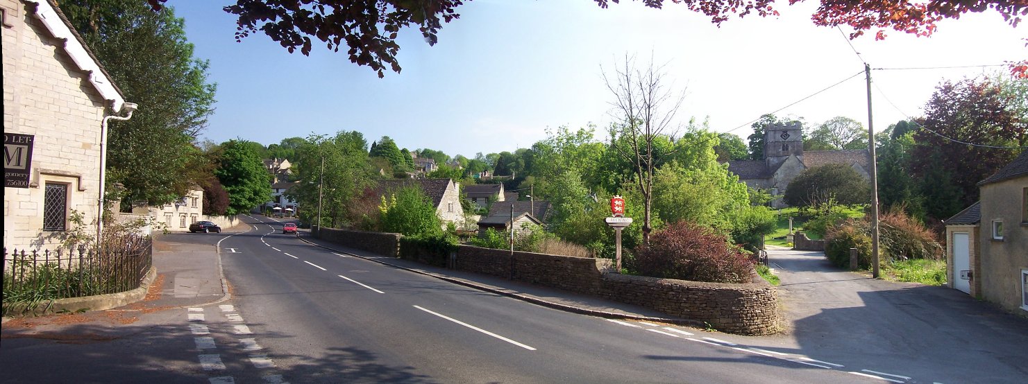
Avening
Avening () is a village and civil parish in the Cotswold district of Gloucestershire, England, about three miles (5 km) north of Tetbury. According to...

Avening Valley
The Avening Valley is located in the South Cotswolds in England, running roughly east from Nailsworth and through the village of Avening.During the 17th...
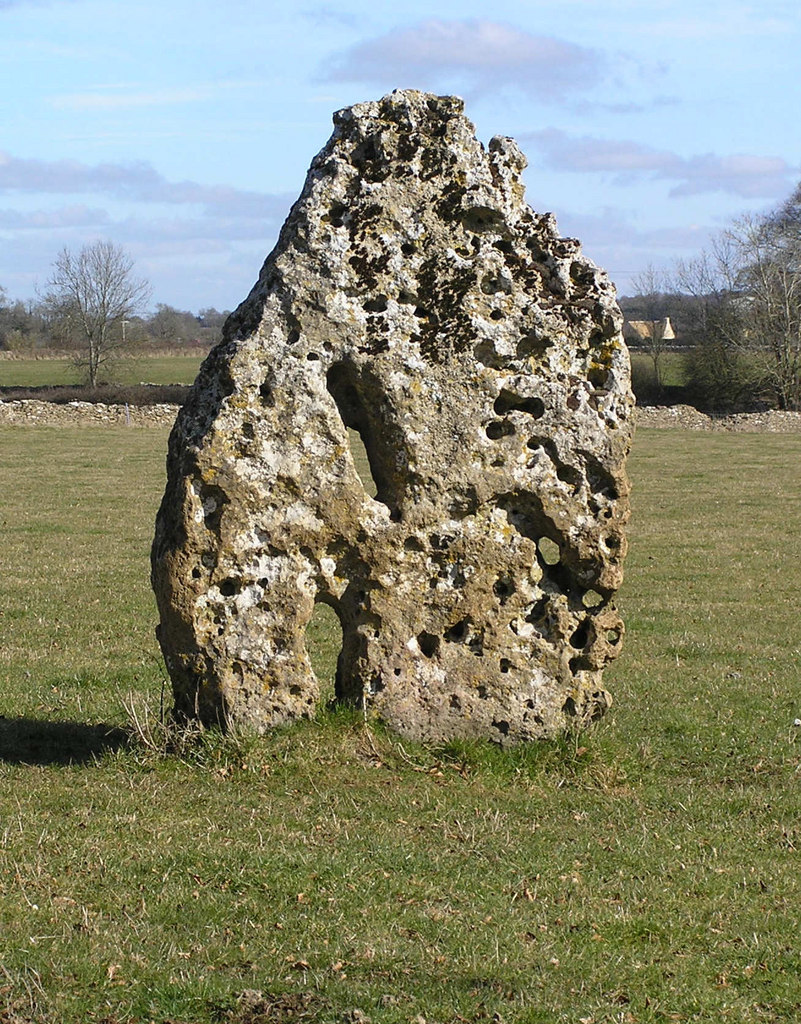
Longstone of Minchinhampton
The Longstone of Minchinhampton (grid reference ST884998) is a standing stone on Minchinhampton Common, Minchinhampton in Gloucestershire, England. The...

Gatcombe Park
Gatcombe Park is the country residence of Anne, Princess Royal, between the villages of Minchinhampton (to which it belongs) and Avening in Gloucestershire...

Church of the Holy Cross, Avening
The Anglican Church of the Holy Cross at Avening in the Cotswold District of Gloucestershire, England was built in late 11th century. It is a grade I listed...
Aston Down
Aston Down is in Gloucestershire, South West England, 2+1⁄2 miles (4 km) east of Minchinhampton, 6 miles (10 km) southeast of Stroud and 7 miles (11 km...

Ball's Green
Ball's Green is a hamlet in Gloucestershire, England. == External links == StreetMap.co.uk
Nearby Amenities
Located within 500m of 51.685882,-2.1502445Have you been to Norn Covert?
Leave your review of Norn Covert below (or comments, questions and feedback).