Cherington Pond
Lake, Pool, Pond, Freshwater Marsh in Gloucestershire Cotswold
England
Cherington Pond
Cherington Pond is a picturesque freshwater pond located in the rural village of Cherington, Gloucestershire, England. Spanning an area of approximately 2 acres, it is a popular destination for nature enthusiasts and local residents alike.
The pond is nestled amidst rolling hills and surrounded by lush vegetation, creating a serene and tranquil atmosphere. It is fed by natural springs, ensuring a constant supply of freshwater. The water is clear and clean, making it an ideal habitat for various aquatic plants and animals.
The pond is home to a diverse range of flora and fauna. Water lilies, reeds, and other aquatic plants decorate the surface, providing shelter and food for a variety of insects, birds, and small mammals. The abundance of natural vegetation attracts a wide array of bird species, making it a haven for birdwatchers. Common sightings include ducks, swans, herons, and kingfishers.
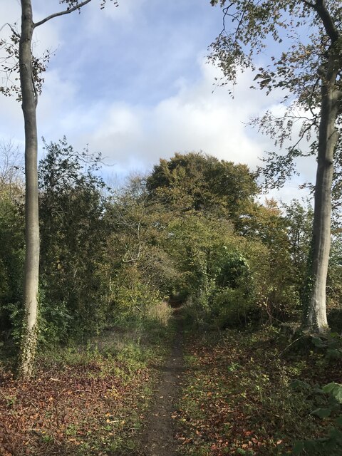
Visitors can enjoy a leisurely walk around the pond, taking in the scenic beauty and observing the wildlife. Benches and picnic spots are strategically placed along the path, allowing visitors to relax and soak in the peaceful ambiance.
Fishing is also a popular activity at Cherington Pond. The pond is stocked with a variety of fish species, including carp, roach, and perch, providing ample opportunities for anglers of all skill levels.
Cherington Pond is a valuable ecosystem and a treasured local landmark, attracting visitors who seek solace in nature's embrace. Its natural beauty, abundant wildlife, and recreational opportunities make it a beloved destination for all who visit.
If you have any feedback on the listing, please let us know in the comments section below.
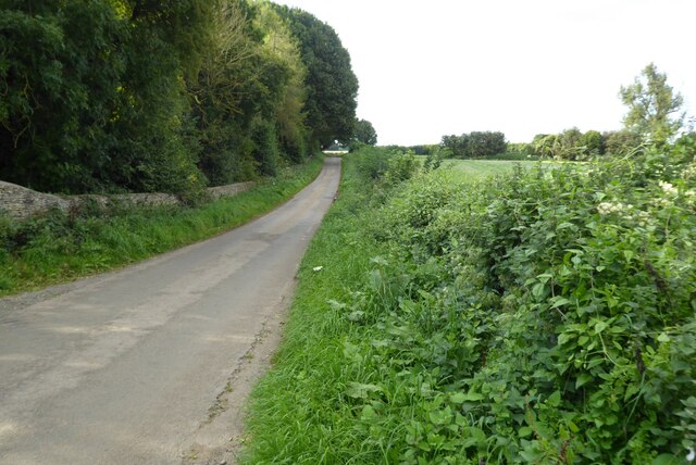
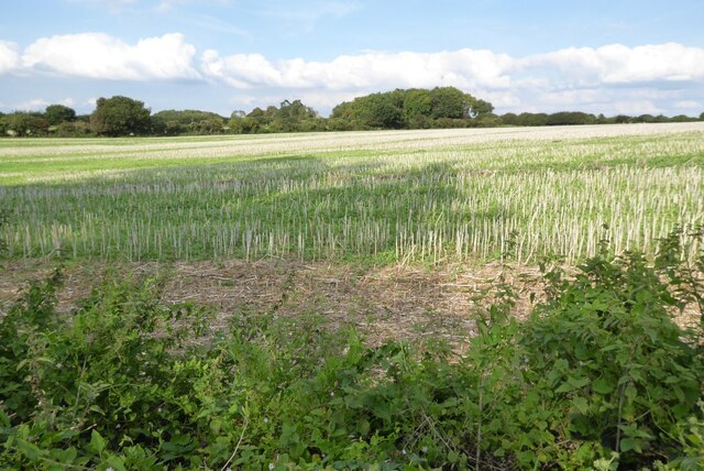
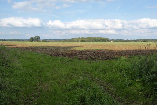
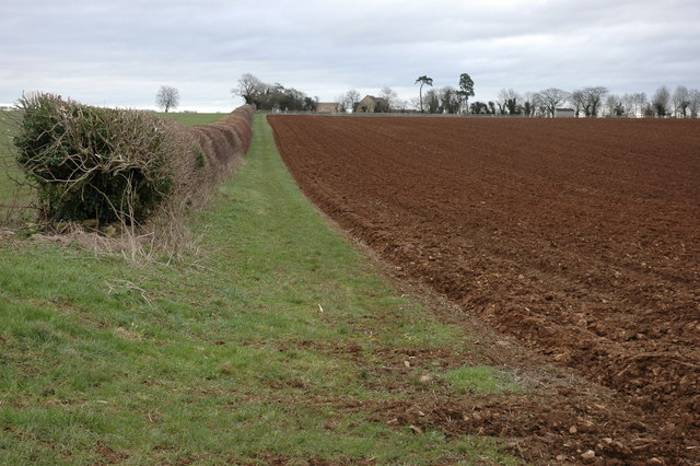
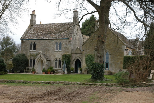
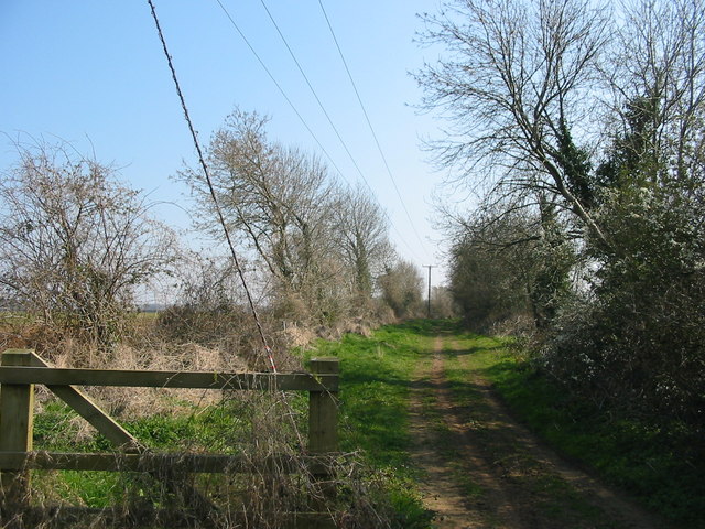
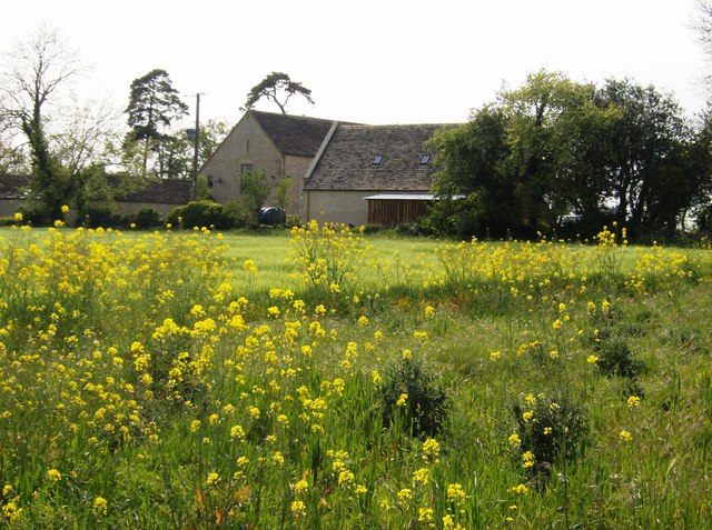
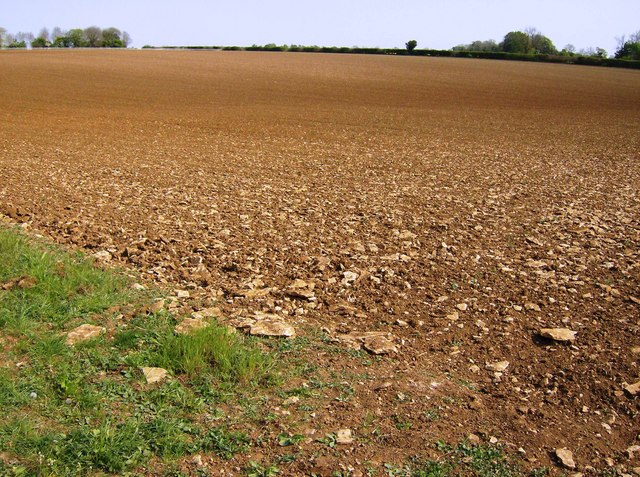
Cherington Pond Images
Images are sourced within 2km of 51.685651/-2.1479293 or Grid Reference ST8998. Thanks to Geograph Open Source API. All images are credited.

Cherington Pond is located at Grid Ref: ST8998 (Lat: 51.685651, Lng: -2.1479293)
Administrative County: Gloucestershire
District: Cotswold
Police Authority: Gloucestershire
What 3 Words
///earful.thumbnail.browser. Near Avening, Gloucestershire
Nearby Locations
Related Wikis

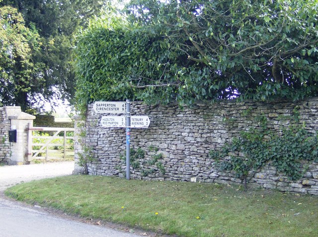
Cherington, Gloucestershire
Cherington is a village and civil parish in the Cotswold District of Gloucestershire, England. It lies under 3 miles south east of Minchinhampton and 4...
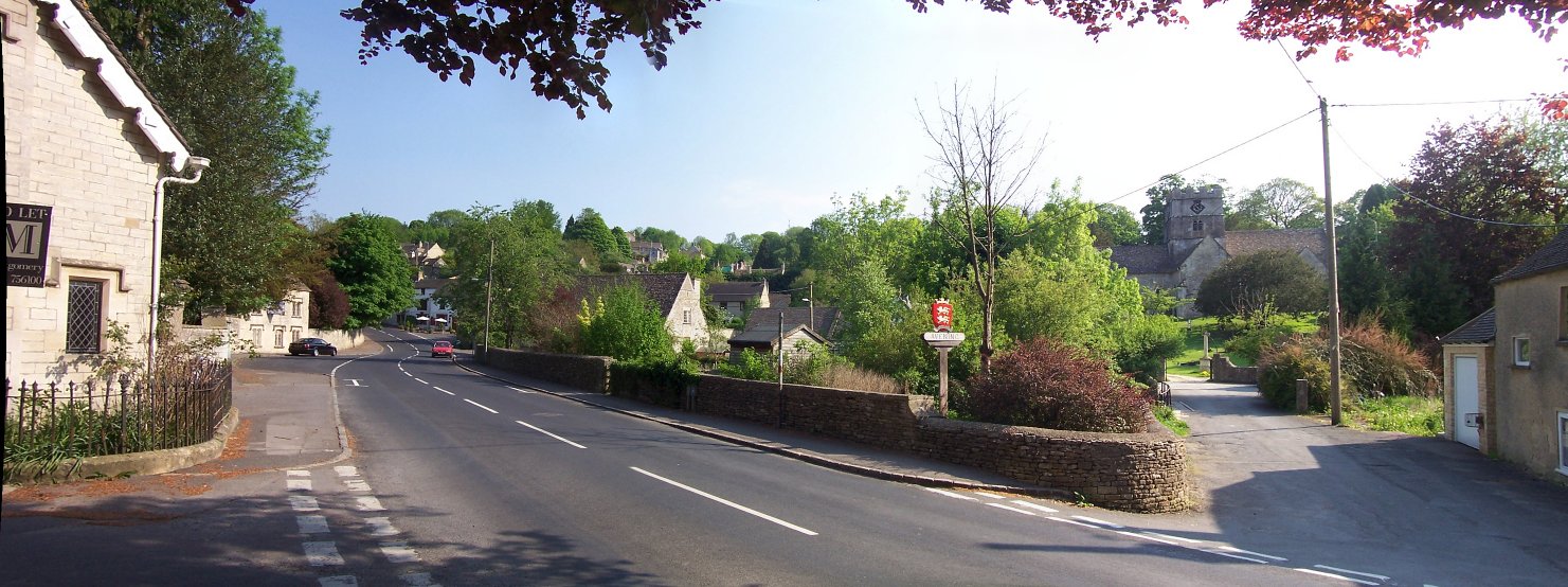
Avening
Avening () is a village and civil parish in the Cotswold district of Gloucestershire, England, about three miles (5 km) north of Tetbury. According to...

Avening Valley
The Avening Valley is located in the South Cotswolds in England, running roughly east from Nailsworth and through the village of Avening.During the 17th...
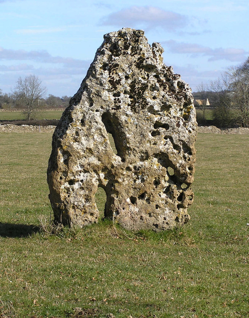
Longstone of Minchinhampton
The Longstone of Minchinhampton (grid reference ST884998) is a standing stone on Minchinhampton Common, Minchinhampton in Gloucestershire, England. The...

Gatcombe Park
Gatcombe Park is the country residence of Anne, Princess Royal, between the villages of Minchinhampton (to which it belongs) and Avening in Gloucestershire...

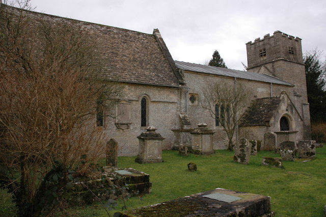
Church of the Holy Cross, Avening
The Anglican Church of the Holy Cross at Avening in the Cotswold District of Gloucestershire, England was built in late 11th century. It is a grade I listed...
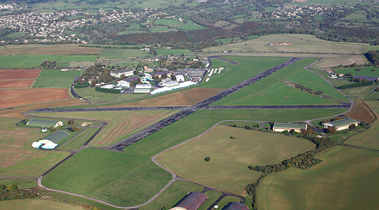
Aston Down
Aston Down is in Gloucestershire, South West England, 2+1⁄2 miles (4 km) east of Minchinhampton, 6 miles (10 km) southeast of Stroud and 7 miles (11 km...

Trull House
Trull House is a Grade II listed country house near the hamlet of Trull, to the north of the village of Ashley and about 3.4 miles (5.5 km) northeast of...
Nearby Amenities
Located within 500m of 51.685651,-2.1479293Have you been to Cherington Pond?
Leave your review of Cherington Pond below (or comments, questions and feedback).