Nag's Head
Settlement in Gloucestershire Cotswold
England
Nag's Head
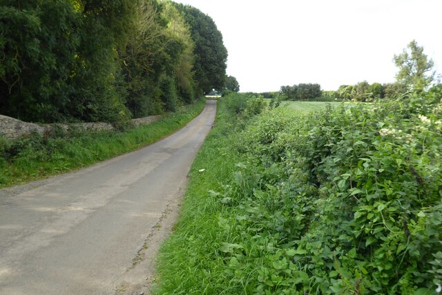
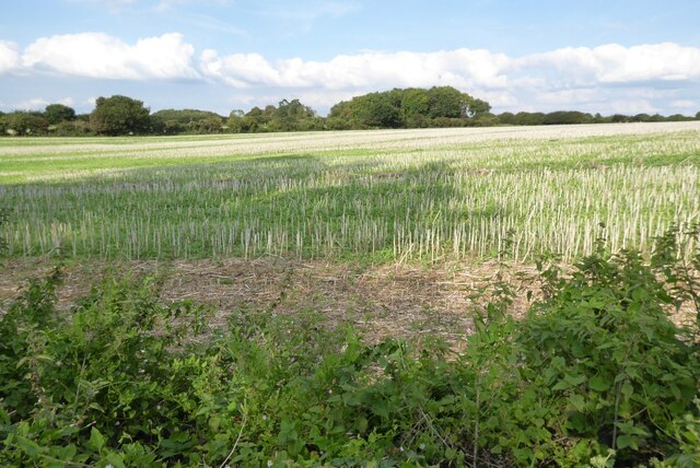
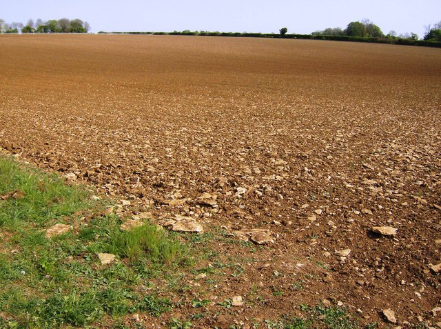
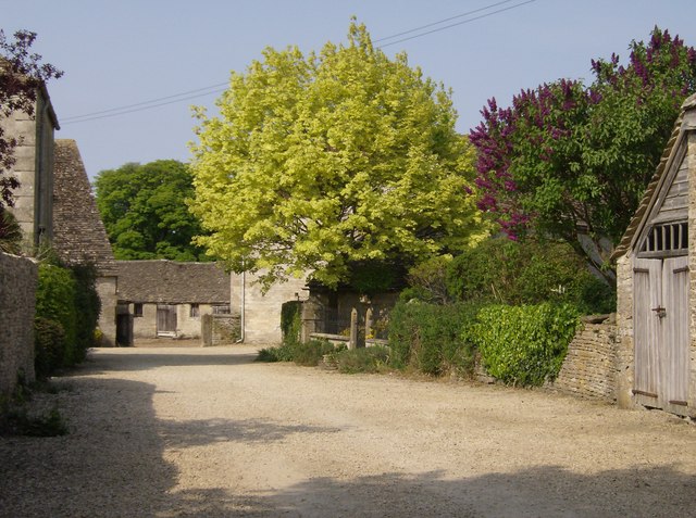
Nag's Head is a small village located in the county of Gloucestershire, England. Situated on the eastern edge of the picturesque Cotswolds, Nag's Head is known for its charming rural setting and tranquil atmosphere. The village is nestled amidst rolling green hills and is surrounded by lush farmland, creating a scenic landscape that is popular with nature enthusiasts and outdoor enthusiasts alike.
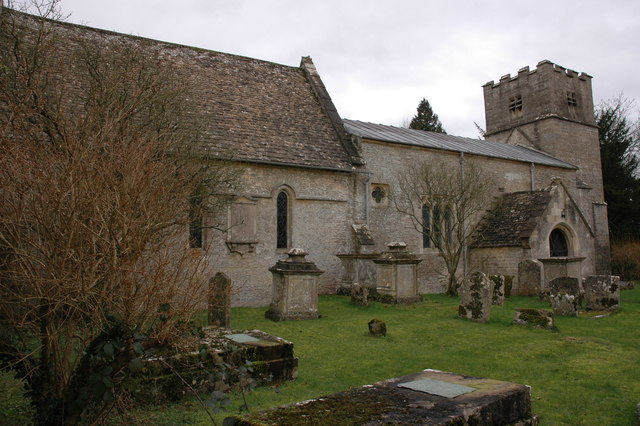
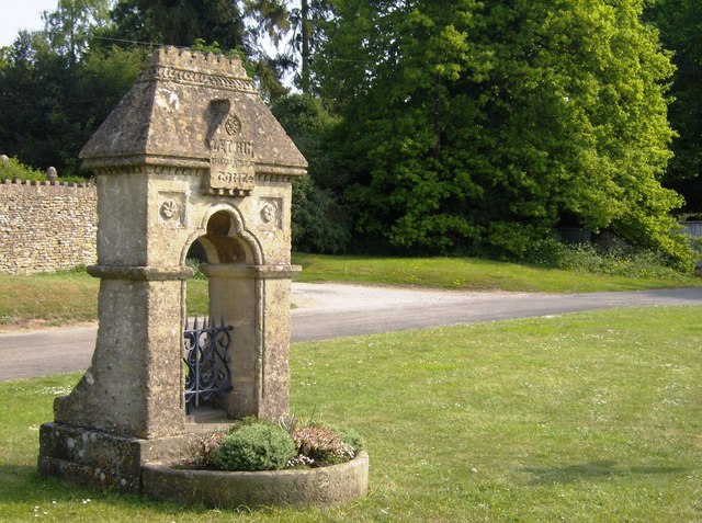
Despite its small size, Nag's Head boasts a rich history dating back several centuries. The village is home to a number of historic buildings and landmarks, including a 12th-century church, which serves as a testament to the area's medieval past. Additionally, Nag's Head is known for its traditional village pub, where visitors can enjoy a pint of locally brewed ale and experience the warmth of the local community.
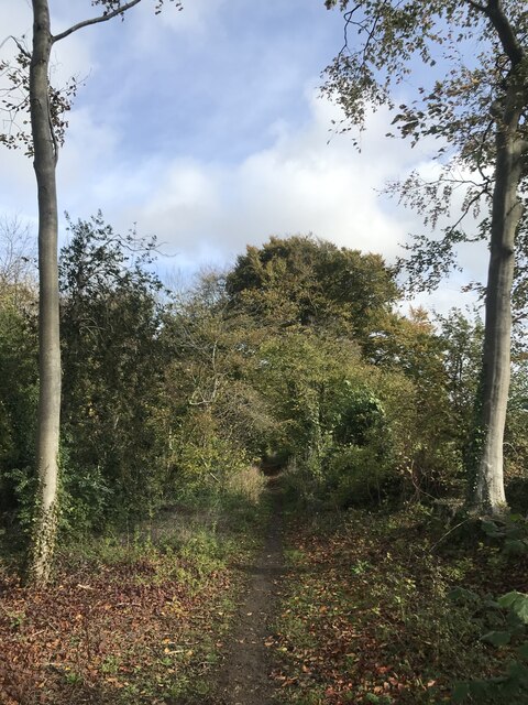
The village is an ideal destination for those seeking a peaceful retreat away from the hustle and bustle of city life. Its idyllic countryside surroundings offer ample opportunities for walking, hiking, and cycling, with numerous trails and paths crisscrossing the area. The nearby Cotswold Way, a long-distance footpath, provides stunning views of the surrounding countryside and is a popular attraction for both locals and tourists.
Although Nag's Head may be small, it exudes a sense of charm and tranquility that is characteristic of the quintessential English village. Its quaint setting, rich history, and natural beauty make it a delightful place to visit for those seeking a true taste of rural England.
If you have any feedback on the listing, please let us know in the comments section below.
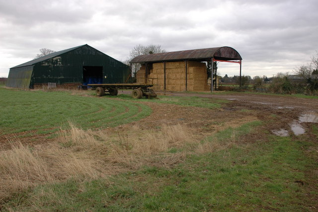
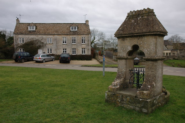
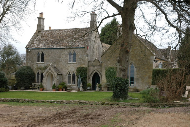
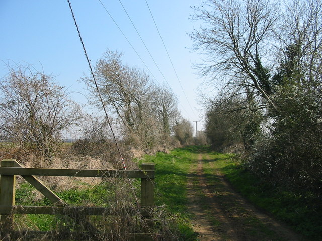
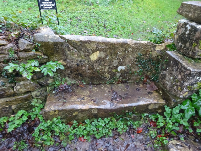
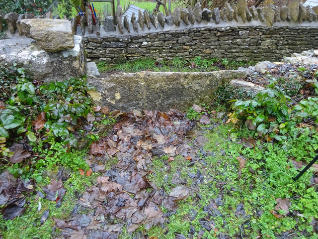
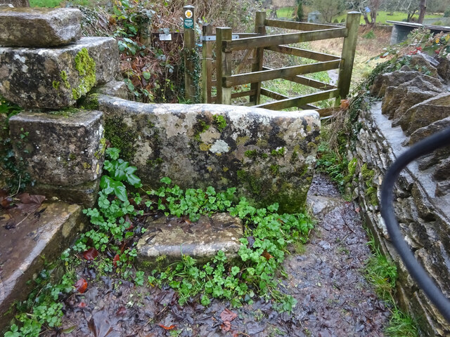
Nag's Head Images
Images are sourced within 2km of 51.68295/-2.157197 or Grid Reference ST8998. Thanks to Geograph Open Source API. All images are credited.


Nag's Head is located at Grid Ref: ST8998 (Lat: 51.68295, Lng: -2.157197)
Administrative County: Gloucestershire
District: Cotswold
Police Authority: Gloucestershire
What 3 Words
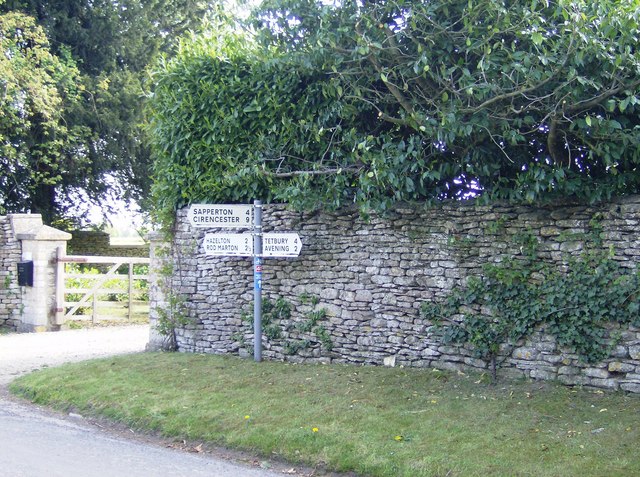
///dragon.curly.wash. Near Avening, Gloucestershire
Nearby Locations
Related Wikis
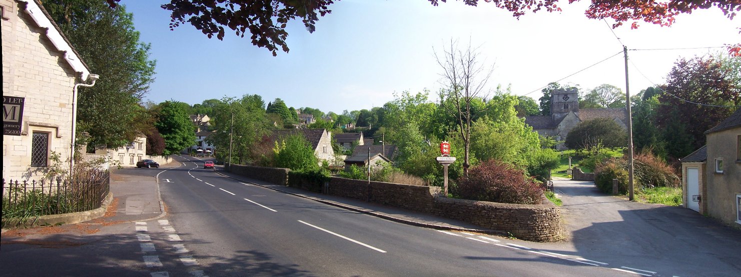
Avening
Avening () is a village and civil parish in the Cotswold district of Gloucestershire, England, about three miles (5 km) north of Tetbury. According to...

Avening Valley
The Avening Valley is located in the South Cotswolds in England, running roughly east from Nailsworth and through the village of Avening.During the 17th...

Church of the Holy Cross, Avening
The Anglican Church of the Holy Cross at Avening in the Cotswold District of Gloucestershire, England was built in late 11th century. It is a grade I listed...

Cherington, Gloucestershire
Cherington is a village and civil parish in the Cotswold District of Gloucestershire, England. It lies under 3 miles south east of Minchinhampton and 4...

Gatcombe Park
Gatcombe Park is the country residence of Anne, Princess Royal, between the villages of Minchinhampton (to which it belongs) and Avening in Gloucestershire...
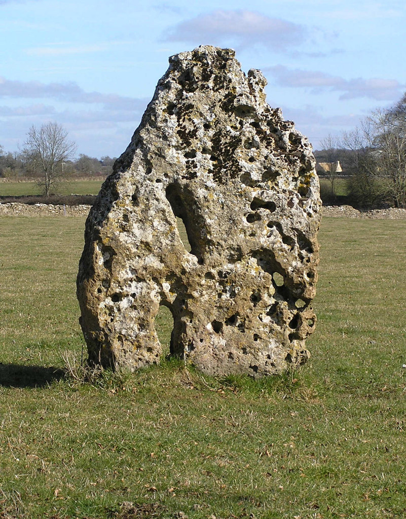
Longstone of Minchinhampton
The Longstone of Minchinhampton (grid reference ST884998) is a standing stone on Minchinhampton Common, Minchinhampton in Gloucestershire, England. The...

Ball's Green
Ball's Green is a hamlet in Gloucestershire, England. == External links == StreetMap.co.uk

Box Farm Meadows SSSI
Box Farm Meadows (Stuart Fawkes reserve) (grid reference ST865997) is a 8.3-hectare (21-acre) biological Site of Special Scientific Interest in Gloucestershire...
Nearby Amenities
Located within 500m of 51.68295,-2.157197Have you been to Nag's Head?
Leave your review of Nag's Head below (or comments, questions and feedback).