Lander's Wood
Wood, Forest in Gloucestershire Cotswold
England
Lander's Wood
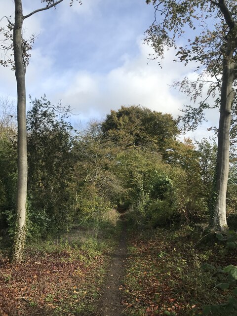
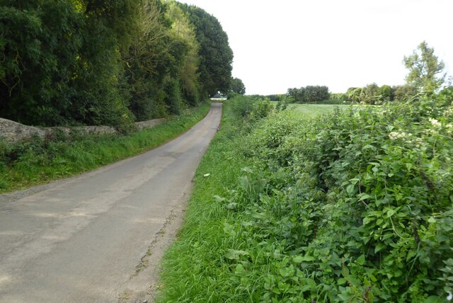
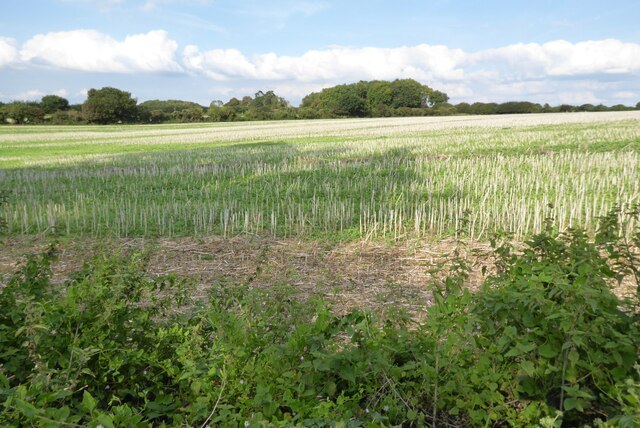
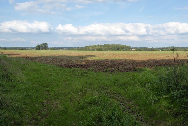
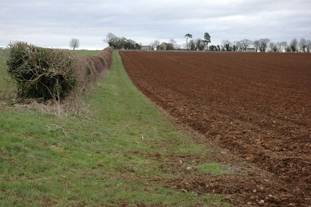
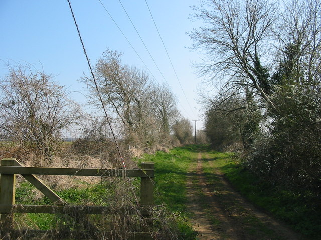
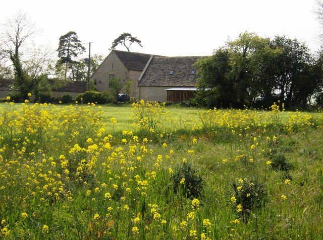
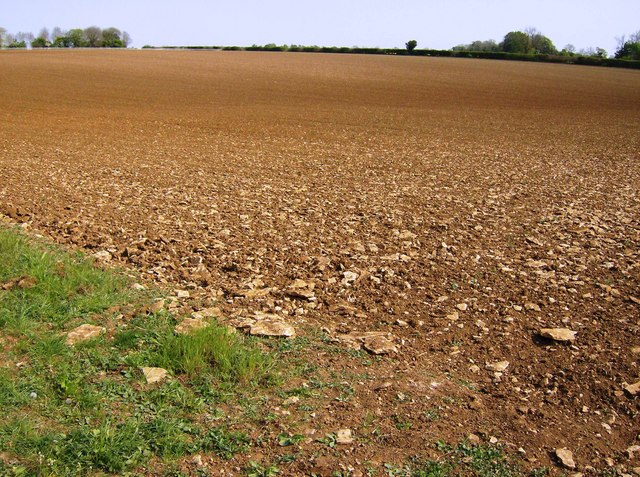
Lander's Wood is a picturesque woodland located in the county of Gloucestershire, England. Situated near the village of Lander's End, this forest covers an area of approximately 200 acres. The wood is a popular destination for nature enthusiasts, hikers, and those seeking tranquility in the great outdoors.
Lander's Wood boasts a rich biodiversity, with a variety of tree species including oak, beech, ash, and birch. The dense canopy provides ample shade during the summer months, creating a cool and refreshing environment. The forest floor is adorned with a diverse range of flora, including bluebells, primroses, and wild garlic, which add vibrant colors to the landscape.
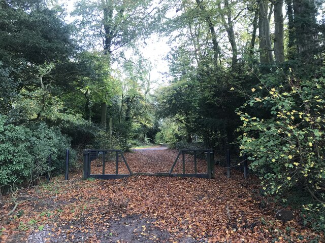
The wood is crisscrossed with a network of well-marked trails, offering visitors a chance to explore its beauty at their own pace. These paths wind through the trees, providing glimpses of the surrounding countryside and offering opportunities for spotting wildlife such as deer, squirrels, and a multitude of bird species.
Lander's Wood is also home to a small stream that meanders through its heart, adding to the overall charm of the area. The sound of babbling water and the gentle rustling of leaves create a serene atmosphere that is perfect for relaxation and reflection.
With its peaceful ambiance and natural beauty, Lander's Wood is a haven for those seeking an escape from the hustle and bustle of everyday life. Whether it's a leisurely stroll, a picnic among the trees, or simply taking in the sights and sounds of nature, this woodland offers a delightful experience for visitors of all ages.
If you have any feedback on the listing, please let us know in the comments section below.
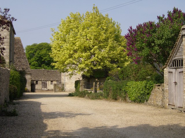
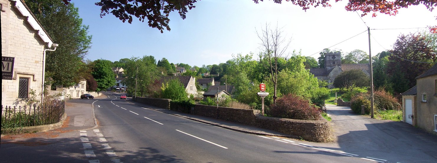
Lander's Wood Images
Images are sourced within 2km of 51.682824/-2.1506683 or Grid Reference ST8998. Thanks to Geograph Open Source API. All images are credited.

Lander's Wood is located at Grid Ref: ST8998 (Lat: 51.682824, Lng: -2.1506683)
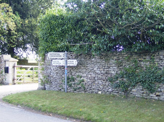
Administrative County: Gloucestershire
District: Cotswold
Police Authority: Gloucestershire
What 3 Words
///graver.cliff.scorpions. Near Avening, Gloucestershire
Nearby Locations
Related Wikis

Cherington, Gloucestershire
Cherington is a village and civil parish in the Cotswold District of Gloucestershire, England. It lies under 3 miles south east of Minchinhampton and 4...
Avening
Avening () is a village and civil parish in the Cotswold district of Gloucestershire, England, about three miles (5 km) north of Tetbury. According to...

Avening Valley
The Avening Valley is located in the South Cotswolds in England, running roughly east from Nailsworth and through the village of Avening.During the 17th...

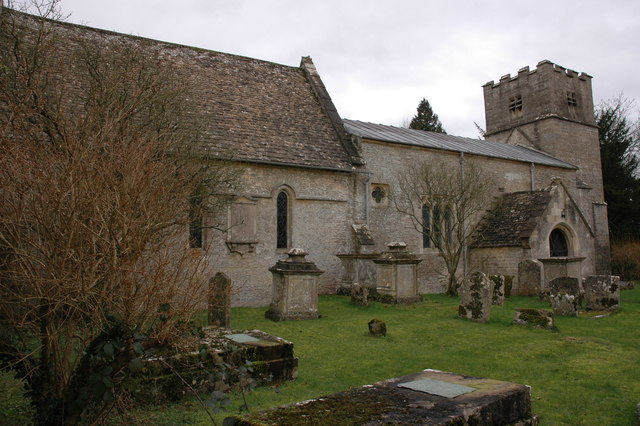
Church of the Holy Cross, Avening
The Anglican Church of the Holy Cross at Avening in the Cotswold District of Gloucestershire, England was built in late 11th century. It is a grade I listed...

Gatcombe Park
Gatcombe Park is the country residence of Anne, Princess Royal, between the villages of Minchinhampton (to which it belongs) and Avening in Gloucestershire...
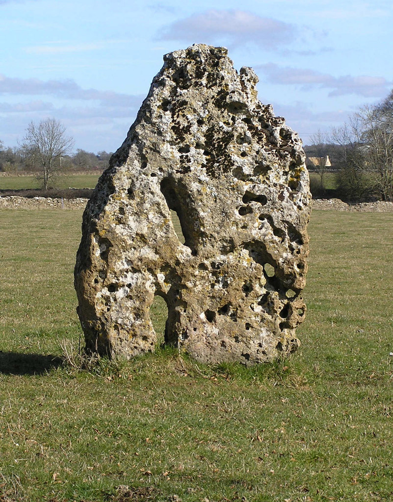
Longstone of Minchinhampton
The Longstone of Minchinhampton (grid reference ST884998) is a standing stone on Minchinhampton Common, Minchinhampton in Gloucestershire, England. The...

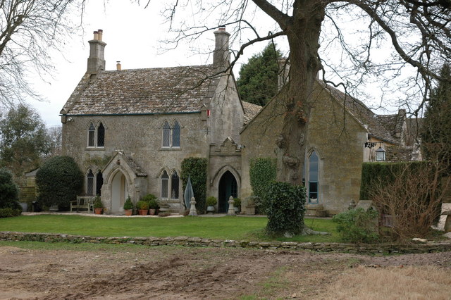
Trull House
Trull House is a Grade II listed country house near the hamlet of Trull, to the north of the village of Ashley and about 3.4 miles (5.5 km) northeast of...

Ball's Green
Ball's Green is a hamlet in Gloucestershire, England. == External links == StreetMap.co.uk
Nearby Amenities
Located within 500m of 51.682824,-2.1506683Have you been to Lander's Wood?
Leave your review of Lander's Wood below (or comments, questions and feedback).