Blasketts Copse
Wood, Forest in Wiltshire
England
Blasketts Copse
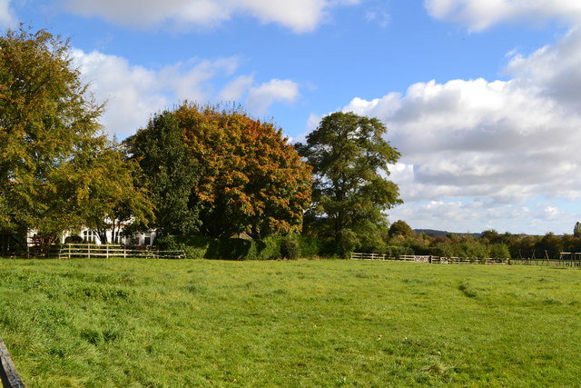
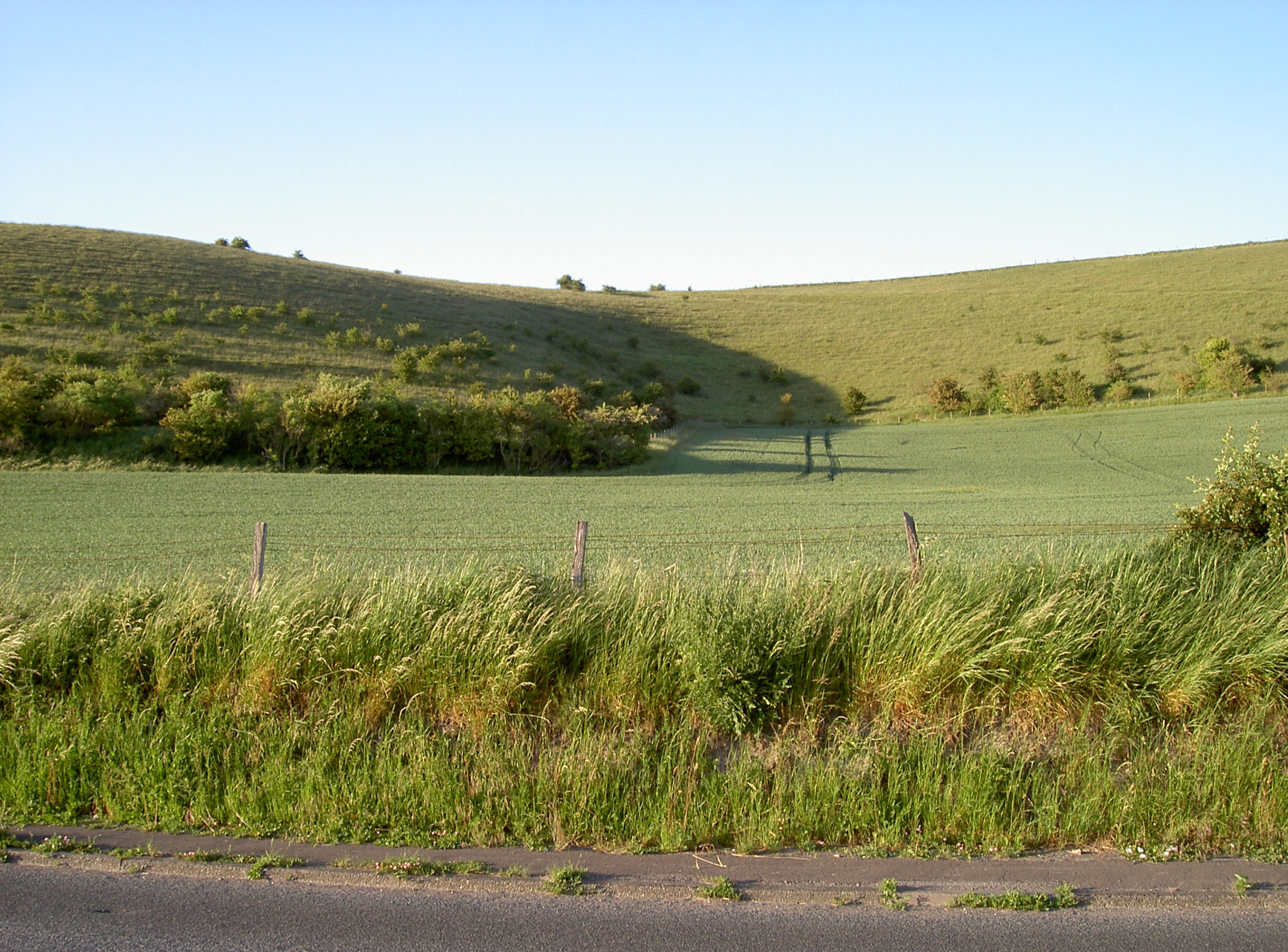
Blasketts Copse is a picturesque woodland located in the county of Wiltshire, England. Covering an area of approximately 100 acres, it is a popular destination for nature lovers and outdoor enthusiasts. The copse is situated near the village of Lacock, renowned for its preserved medieval buildings and charming atmosphere.
Blasketts Copse features a diverse range of tree species, including oak, beech, and ash, which create a dense canopy, providing shade and shelter for a variety of wildlife. The woodland floor is carpeted with an array of wildflowers and ferns, adding to its natural beauty.
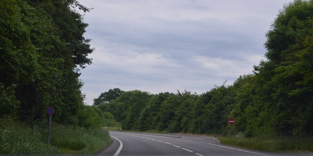
Tranquil walking trails wind their way through the copse, allowing visitors to explore its enchanting surroundings. These paths are well-maintained, making it accessible for people of all ages and abilities. Along the way, visitors may encounter wildlife such as deer, squirrels, and a wide variety of bird species.
Blasketts Copse is also home to a small stream, which meanders through the woodland, adding to its scenic charm. The stream provides a habitat for aquatic creatures such as frogs and newts, further enhancing the biodiversity of the area.
The copse is a designated Site of Special Scientific Interest (SSSI) due to its rich flora and fauna. It is managed and preserved by a local conservation organization in collaboration with the Wiltshire Wildlife Trust.
Blasketts Copse offers a peaceful retreat from the hustle and bustle of everyday life, providing a serene environment for relaxation and appreciation of nature's beauty.
If you have any feedback on the listing, please let us know in the comments section below.
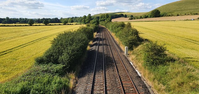
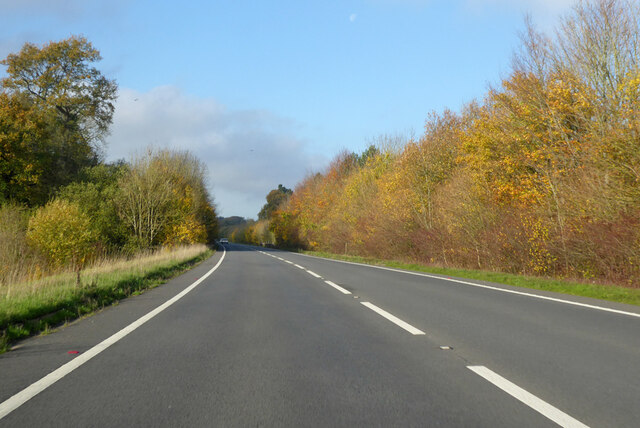
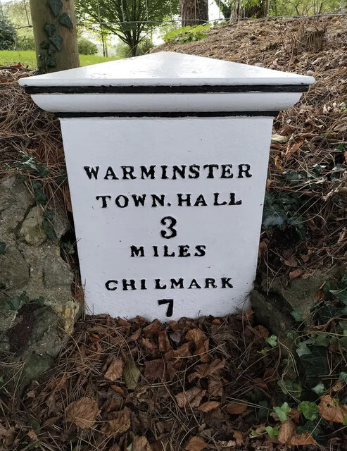
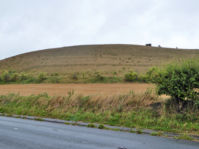
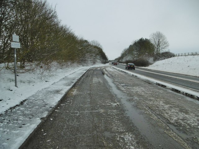
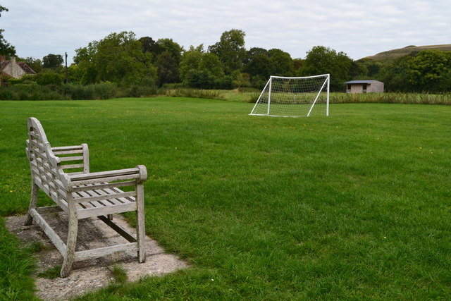
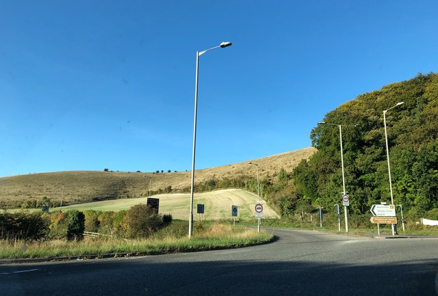
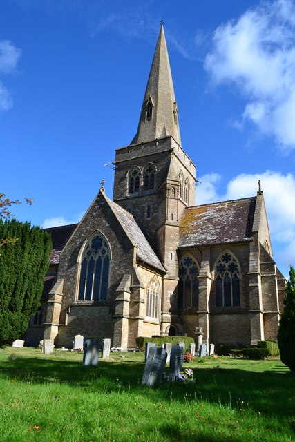
Blasketts Copse Images
Images are sourced within 2km of 51.186402/-2.1485833 or Grid Reference ST8943. Thanks to Geograph Open Source API. All images are credited.
Blasketts Copse is located at Grid Ref: ST8943 (Lat: 51.186402, Lng: -2.1485833)
Unitary Authority: Wiltshire
Police Authority: Wiltshire
What 3 Words
///repayment.surprise.name. Near Bishopstrow, Wiltshire
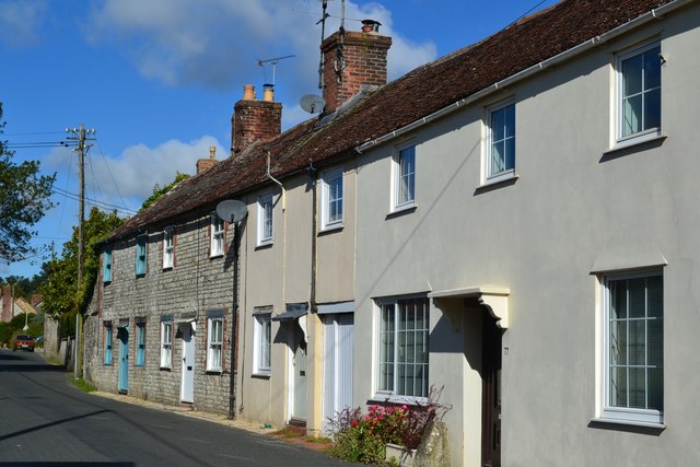
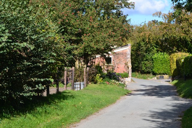
Nearby Locations
Related Wikis

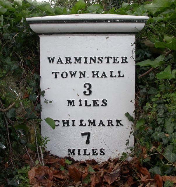
Sutton Veny
Sutton Veny is a village and civil parish in the Wylye valley, to the southeast of the town of Warminster in Wiltshire, England; the village is about 3...

Bishopstrow
Bishopstrow is a small village and civil parish in Wiltshire, England, on the southeastern edge of the town of Warminster. The village is about 1.5 miles...

Norton Bavant
Norton Bavant is a small village and civil parish in Wiltshire, England, 2 miles (3.2 km) southeast of Warminster. == Geography == The village is on the...

Bishopstrow House
Bishopstrow Hotel & Spa is a late-Georgian English country house standing near the B3414 (Salisbury road) in the parish of Bishopstrow, about a mile east...
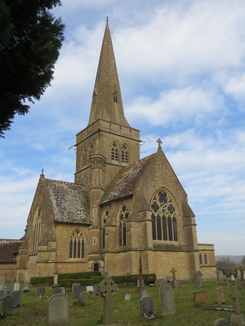
St Leonard's Church, Sutton Veny
St Leonard's Church in Sutton Veny, Wiltshire, England, was built in the 12th century. It is recorded in the National Heritage List for England as a Grade...
Scratchbury and Cotley Hills SSSI
Scratchbury & Cotley Hills SSSI (grid reference ST915437) is a 53.5 hectare biological Site of Special Scientific Interest at Norton Bavant in Wiltshire...

Scratchbury Camp
Scratchbury Camp is the site of an Iron Age univallate hillfort on Scratchbury Hill, overlooking the Wylye valley about 1 km northeast of the village of...

St John's Church, Warminster
St John's Church, in full the Church of St John the Evangelist, is a Church of England church in the Boreham area in the south-east of the town of Warminster...
Nearby Amenities
Located within 500m of 51.186402,-2.1485833Have you been to Blasketts Copse?
Leave your review of Blasketts Copse below (or comments, questions and feedback).