Ash Coppice

Wood, Forest in Staffordshire South Staffordshire

England

Ash Coppice

River Penk - upstream at Pendeford Hall Lane
River Penk - upstream at Pendeford Hall Lane Credit: John M

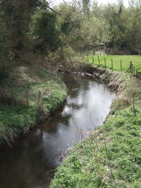
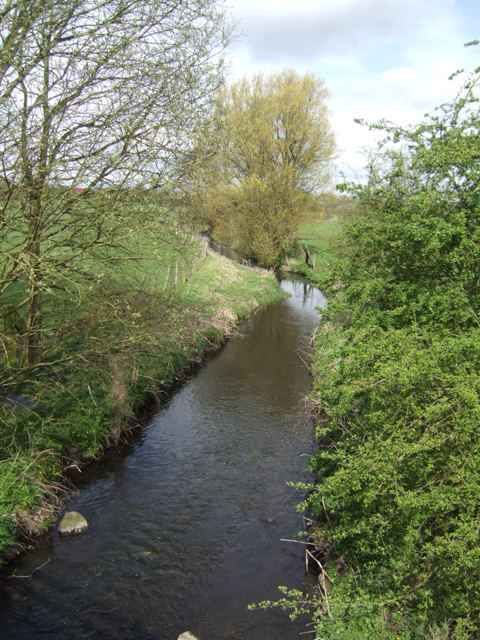
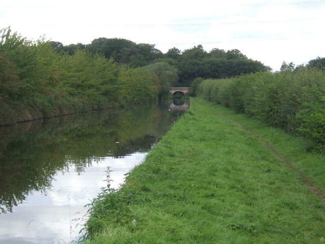
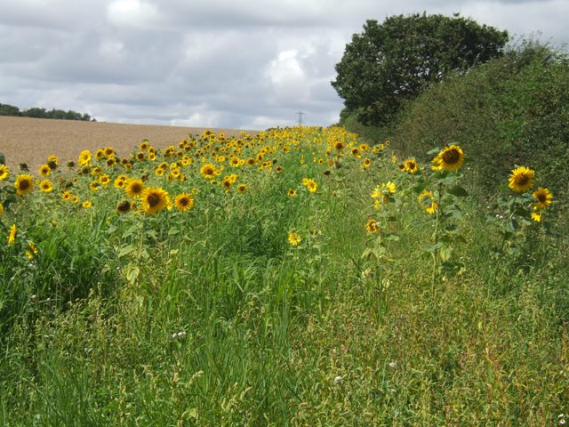
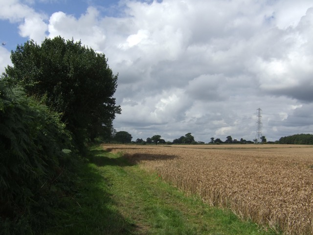
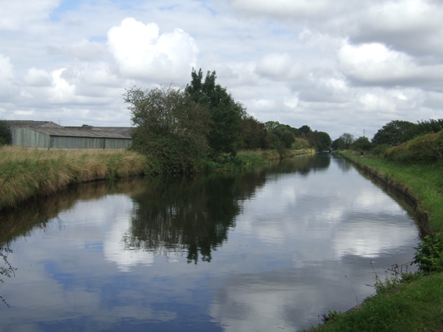
Ash Coppice is a woodland area located in Staffordshire, England. Covering an approximate area of 100 acres, it is situated near the village of Ash, hence its name. The coppice is a remnant of ancient woodland that has been managed for centuries.

The dominant tree species found in Ash Coppice is the ash tree (Fraxinus excelsior), which gives the area its name. These trees grow densely, creating a rich and diverse habitat for a variety of plants and wildlife. Other tree species present include oak, birch, and hazel, adding to the biodiversity of the woodland.

The woodland floor is covered with a diverse array of flora, including bluebells, wood anemones, and wild garlic. These plants thrive in the moist and shaded conditions provided by the tree canopy. The presence of such diverse plant life is indicative of the woodland's ancient origins.

Ash Coppice is home to a wide range of wildlife. Bird species such as the great spotted woodpecker, tawny owl, and song thrush can be spotted within the woodland, along with various mammals like rabbits, squirrels, and foxes.

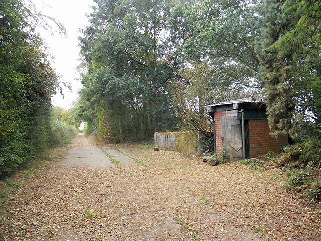
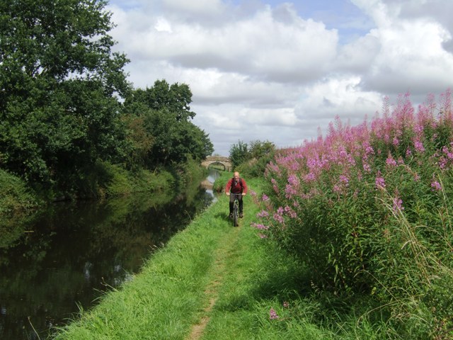
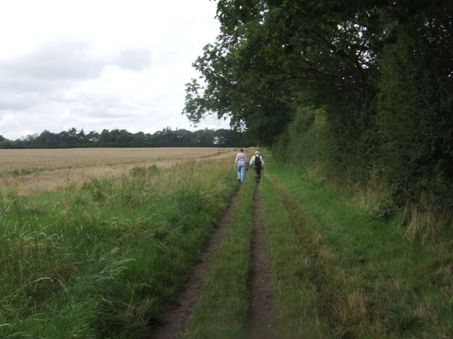
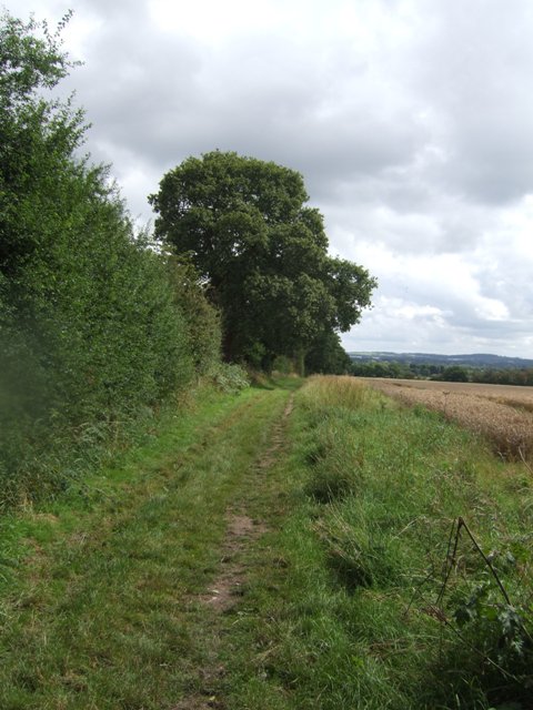
The coppice is a popular destination for nature enthusiasts and walkers, who can enjoy the tranquil surroundings and observe the diverse flora and fauna. The area also offers several walking trails, allowing visitors to explore the woodland and experience its natural beauty.

Overall, Ash Coppice in Staffordshire is a vibrant and ecologically important woodland, offering a haven for a diverse range of plant and animal species, as well as providing a peaceful retreat for visitors.

If you have any feedback on the listing, please let us know in the comments section below.
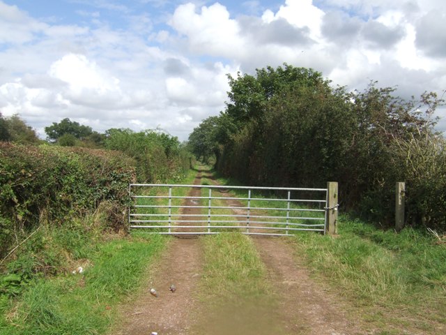
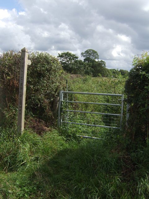
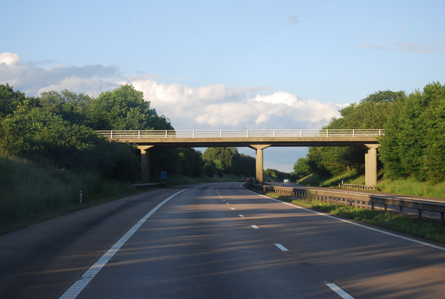
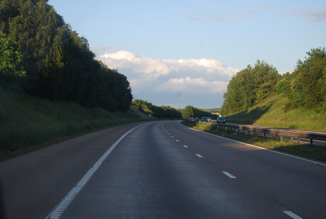
Ash Coppice Images

Images are sourced within 2km of 52.640779/-2.1547126 or Grid Reference SJ8904. Thanks to Geograph Open Source API. All images are credited.

River Penk - upstream at Pendeford Hall Lane
River Penk - downstream at Pendeford Hall Lane
Bridleway near Long Birch Farm
Bilbrook water treatment works Or sewage works, if you prefer the older term!
Bilbrook water treatment works
Or sewage works, if you prefer the older term!
Bilbrook village hall On the outskirts of Bilbrook, and adjacent to the playing fields.
Bilbrook village hall
On the outskirts of Bilbrook, and adjacent to the playing fields.
Shropshire Union towpath near Lower Hattons Bridge The Monarch's Way follows the towpath south to Pendeford Bridge on its way from Boscobel to Moseley Old Hall.
Shropshire Union towpath near Lower Hattons Bridge
The Monarch's Way follows the towpath south to Pendeford Bridge on its way from Boscobel to Moseley Old Hall.
Walkers on the Monarchs Way Between Hunting Bridge and Port Lane.
Walkers on the Monarchs Way
Between Hunting Bridge and Port Lane.
Monarch's Way The path drops down from Port Lane to Hunting Bridge heading for Pendeford Mill.
Monarch's Way
The path drops down from Port Lane to Hunting Bridge heading for Pendeford Mill.
Shropshire Union Canal - View towards Park Bridge
Sunflowers in the field margin
Monarch's Way The footpath drops down from Port Lane to Hunting Bridge.
Monarch's Way
The footpath drops down from Port Lane to Hunting Bridge.
Winding hole north of Lower Hattons Bridge On the Shropshire Union Canal.
Winding hole north of Lower Hattons Bridge
On the Shropshire Union Canal.
Farm lane by the Hattons Permissive footpath and bridleway.
Farm lane by the Hattons
Permissive footpath and bridleway.
Bridleway to Pendeford The overgrown path looked to be too much of a challenge without a machete.
Bridleway to Pendeford
The overgrown path looked to be too much of a challenge without a machete.
M54, Port Lane Bridge The M54 is a 23 mile east-west motorway in Shropshire and Staffordshire. It is a two-lane dual carriageway for the majority of its length, with sections of three-lane.
The M54 spur connects the M6 motorway near Essington, Staffordshire with the A5 trunk road at Wellington, Shropshire. The motorway forms part of the route to North Wales, roughly following the path of the Roman Watling Street and the A5 north-westwards, towards the port of Holyhead.
M54, Port Lane Bridge
The M54 is a 23 mile east-west motorway in Shropshire and Staffordshire. It is a two-lane dual carriageway for the majority of its length, with sections of three-lane. The M54 spur connects the M6 motorway near Essington, Staffordshire with the A5 trunk road at Wellington, Shropshire. The motorway forms part of the route to North Wales, roughly following the path of the Roman Watling Street and the A5 north-westwards, towards the port of Holyhead.
M54, eastbound The M54 is a 23 mile east-west motorway in Shropshire and Staffordshire. It is a two-lane dual carriageway for the majority of its length, with sections of three-lane.
The M54 spur connects the M6 motorway near Essington, Staffordshire with the A5 trunk road at Wellington, Shropshire. The motorway forms part of the route to North Wales, roughly following the path of the Roman Watling Street and the A5 north-westwards, towards the port of Holyhead.
M54, eastbound
The M54 is a 23 mile east-west motorway in Shropshire and Staffordshire. It is a two-lane dual carriageway for the majority of its length, with sections of three-lane. The M54 spur connects the M6 motorway near Essington, Staffordshire with the A5 trunk road at Wellington, Shropshire. The motorway forms part of the route to North Wales, roughly following the path of the Roman Watling Street and the A5 north-westwards, towards the port of Holyhead.
M54, farm access bridge The M54 is a 23 mile east-west motorway in Shropshire and Staffordshire. It is a two-lane dual carriageway for the majority of its length, with sections of three-lane.
The M54 spur connects the M6 motorway near Essington, Staffordshire with the A5 trunk road at Wellington, Shropshire. The motorway forms part of the route to North Wales, roughly following the path of the Roman Watling Street and the A5 north-westwards, towards the port of Holyhead.
M54, farm access bridge
The M54 is a 23 mile east-west motorway in Shropshire and Staffordshire. It is a two-lane dual carriageway for the majority of its length, with sections of three-lane. The M54 spur connects the M6 motorway near Essington, Staffordshire with the A5 trunk road at Wellington, Shropshire. The motorway forms part of the route to North Wales, roughly following the path of the Roman Watling Street and the A5 north-westwards, towards the port of Holyhead.
M54 near Ash Coppice The M54 is a 23 mile east-west motorway in Shropshire and Staffordshire. It is a two-lane dual carriageway for the majority of its length, with sections of three-lane.
The M54 spur connects the M6 motorway near Essington, Staffordshire with the A5 trunk road at Wellington, Shropshire. The motorway forms part of the route to North Wales, roughly following the path of the Roman Watling Street and the A5 north-westwards, towards the port of Holyhead.
M54 near Ash Coppice
The M54 is a 23 mile east-west motorway in Shropshire and Staffordshire. It is a two-lane dual carriageway for the majority of its length, with sections of three-lane. The M54 spur connects the M6 motorway near Essington, Staffordshire with the A5 trunk road at Wellington, Shropshire. The motorway forms part of the route to North Wales, roughly following the path of the Roman Watling Street and the A5 north-westwards, towards the port of Holyhead.
Show me another place!

Ash Coppice is located at Grid Ref: SJ8904 (Lat: 52.640779, Lng: -2.1547126)

Administrative County: Staffordshire

District: South Staffordshire

Police Authority: Staffordshire

What 3 Words

///fresh.expect.free. Near Coven, Staffordshire

Related Wikis

Coven, Staffordshire

Coven is a village in the district of South Staffordshire, England, near to the border with Wolverhampton. Together with Brewood it forms part of the...

I54

i54 South Staffordshire is a 98-hectare (240-acre) UK technology-based business park located at Junction 2 on the M54 Motorway in the West Midlands, on...

Goodrich F.C.

Goodrich F.C. was a football club based in Wolverhampton, West Midlands, England. The team joined the West Midlands (Regional) League Division One North...

Pendeford

Pendeford is a suburb of Wolverhampton, West Midlands, England. Historically part of Staffordshire, it is situated north-north-west of the city centre...

Wolverhampton Casuals F.C.

Wolverhampton Casuals Football Club are a football club based in Featherstone, near Wolverhampton, England. Established in 1899, they are currently members...

Bilbrook, Staffordshire

Bilbrook is a village in the South Staffordshire district of Staffordshire, England. It is situated close to the border of the West Midlands, just outside...

Ormiston NEW Academy

Ormiston NEW Academy (formerly North East Wolverhampton Academy) is a mixed secondary school and sixth form located in the Fordhouses area of Wolverhampton...

Fordhouses

Fordhouses is a suburb of Wolverhampton, West Midlands, England. It is situated to the north of the city centre, adjacent to the border with Staffordshire...

Nearby Amenities

Located within 500m of 52.640779,-2.1547126
Phone
Emergency: phone
Ref: 3174 B
Lat/Long: 52.6389975/-2.1487605
Phone
Emergency: phone
Ref: 3174 A
Lat/Long: 52.6387503/-2.1488356
Barrier: yes
Lat/Long: 52.6415782/-2.1480682
Power: pole
Lat/Long: 52.6379042/-2.1599295
Power: pole
Lat/Long: 52.6381404/-2.1581776
Power: pole
Lat/Long: 52.6384239/-2.1561249
Power: pole
Lat/Long: 52.6386817/-2.1543305
Power: pole
Lat/Long: 52.6390296/-2.1521822
Power: pole
Lat/Long: 52.6389179/-2.1521256
Power: pole
Lat/Long: 52.6391694/-2.1490379
Material: wood
Power: pole
Lat/Long: 52.6391304/-2.1487805
The data included in this document is from www.openstreetmap.org. The data is made available under ODbL.

Have you been to Ash Coppice?

Leave your review of Ash Coppice below (or comments, questions and feedback).