Pontingshill Plantation

Wood, Forest in Gloucestershire Stroud

England

Pontingshill Plantation

No Through Road to Througham Slad The lane boasts a pre-Worboys sign.
No Through Road to Througham Slad Credit: Jonathan Billinger

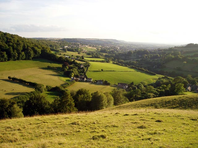
Pontingshill Plantation is a picturesque woodland located in Gloucestershire, England. Covering an area of approximately 100 acres, it is a significant part of the local landscape and a popular destination for nature enthusiasts and walkers.

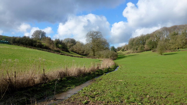
The plantation is dominated by a diverse range of tree species, including oak, beech, ash, and birch. These trees create a dense canopy that provides shelter for a variety of wildlife, such as birds, squirrels, and deer. The woodland floor is adorned with a carpet of wildflowers during the spring and summer months, adding to the beauty and vibrancy of the area.

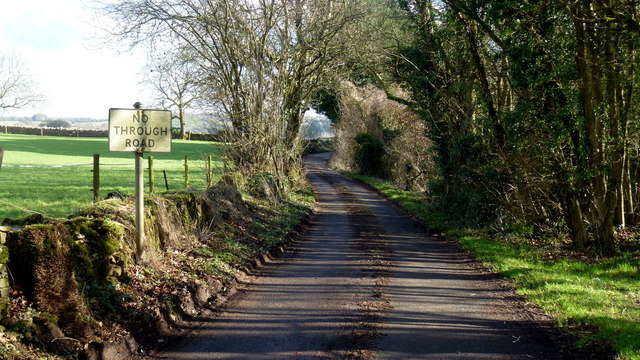
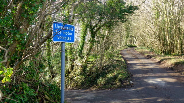
A network of well-maintained footpaths and trails wind their way through the plantation, allowing visitors to explore its natural wonders. These paths offer stunning views of the surrounding countryside and provide an opportunity for visitors to immerse themselves in the peaceful ambiance of the woodland.

Pontingshill Plantation is not only a place of natural beauty but also holds historical significance. It is believed that the woodland has been in existence for centuries, with records dating back to the 17th century. Over the years, it has been managed sustainably, with selective tree felling and replanting programs to maintain the health and diversity of the woodland ecosystem.

For those seeking outdoor activities, Pontingshill Plantation offers opportunities for picnicking, birdwatching, and photography. The tranquil and serene environment makes it an ideal place for relaxation and a break from the hectic pace of everyday life.

Overall, Pontingshill Plantation is a cherished natural asset in Gloucestershire, providing both locals and visitors with a peaceful retreat where they can connect with nature and enjoy the beauty of the English countryside.

If you have any feedback on the listing, please let us know in the comments section below.

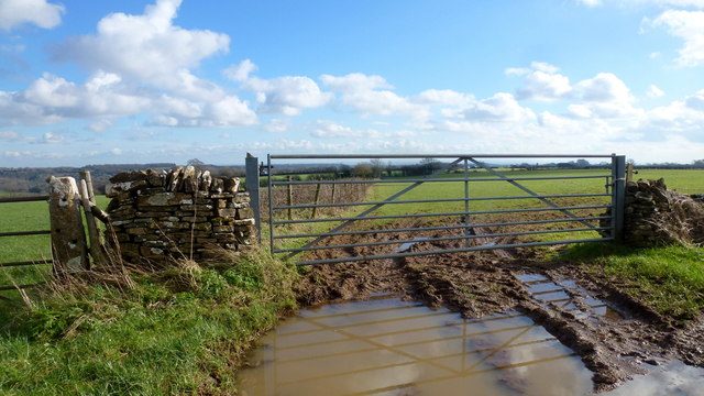
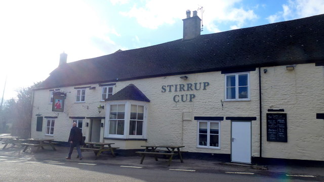
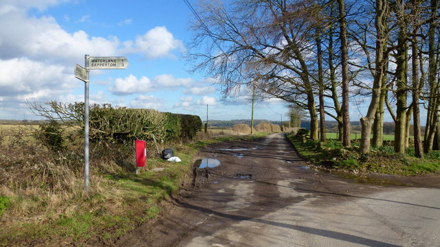
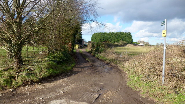
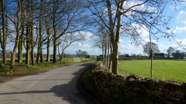
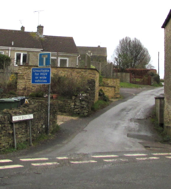
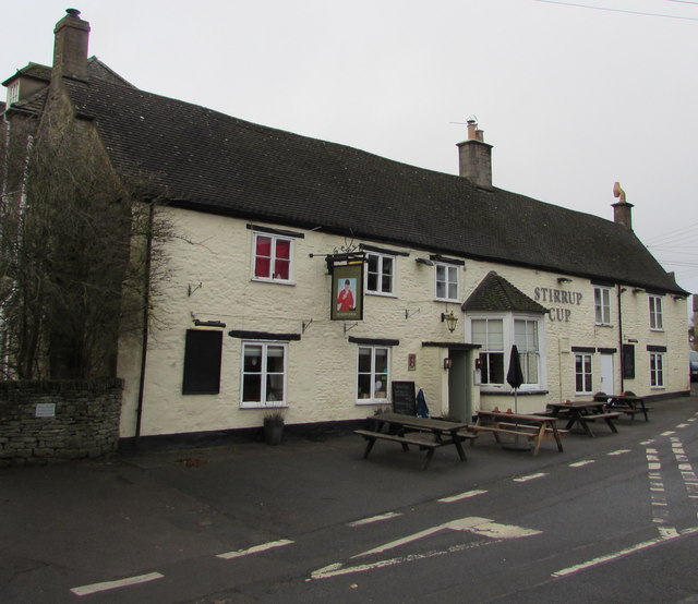
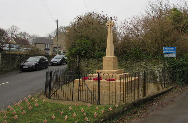
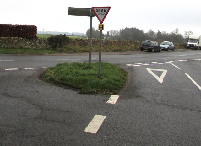
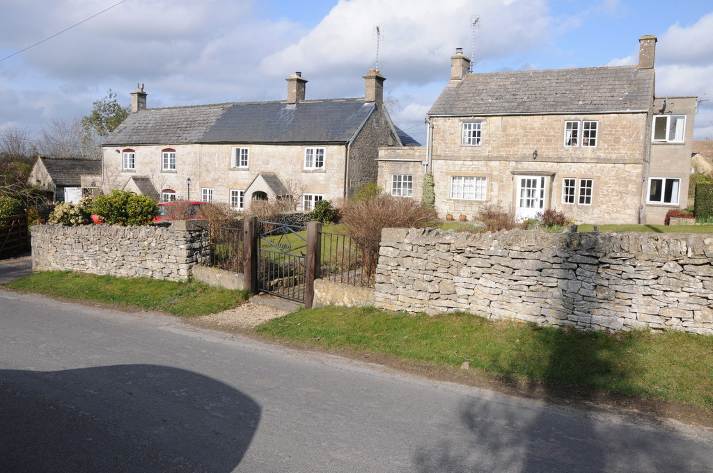
Pontingshill Plantation Images

Images are sourced within 2km of 51.755525/-2.1516928 or Grid Reference SO8906. Thanks to Geograph Open Source API. All images are credited.

No Through Road to Througham Slad The lane boasts a pre-Worboys sign.
No Through Road to Througham Slad
The lane boasts a pre-Worboys sign.
Unsuitable? I beg to differ; I was able to use this steep, narrow lane without any trouble.
Unsuitable?
I beg to differ; I was able to use this steep, narrow lane without any trouble.
Cotswolds stream by Calfway Farm This winter stream in full flow feeds the Holy Brook and the River Frome to become part of the Greater Stroud drainage basin.
Cotswolds stream by Calfway Farm
This winter stream in full flow feeds the Holy Brook and the River Frome to become part of the Greater Stroud drainage basin.
Small agricultural structure North of Calfway Lane, Bisley.
Small agricultural structure
North of Calfway Lane, Bisley.
Young cereal field near Bisley Typical Cotswold view in late winter.
Young cereal field near Bisley
Typical Cotswold view in late winter.
The Stirrup Cup, Bisley Walker-friendly pub at the north end of the village.
The Stirrup Cup, Bisley
Walker-friendly pub at the north end of the village.
Notice on the Stirrup Cup Not unfriendly to outdoor-types!
Notice on the Stirrup Cup
Not unfriendly to outdoor-types!
Hayhedge Lane, Bisley The lane leads a to dead end at Battlescombe. Right is Limekiln Lane.
Hayhedge Lane, Bisley
The lane leads a to dead end at Battlescombe. Right is Limekiln Lane.
Track and footpath to Bisley Leading north-west from the lane junction in <a href="https://www.geograph.org.uk/photo/5013309">SO9005 : Hayhedge Lane, Bisley</a>.
Track and footpath to Bisley
Leading north-west from the lane junction in SO9005 : Hayhedge Lane, Bisley.
Limekiln Lane Looking south-east from Hayhedge Lane, Bisley.
Limekiln Lane
Looking south-east from Hayhedge Lane, Bisley.
Van Der Breen Street, Bisley Western end of a long dead-end street viewed from the High Street/Cheltenham Road junction. 
A sign shows that Van Der Breen Street is unsuitable for heavy goods vehicles or wide vehicles.
Van Der Breen Street, Bisley
Western end of a long dead-end street viewed from the High Street/Cheltenham Road junction. A sign shows that Van Der Breen Street is unsuitable for heavy goods vehicles or wide vehicles.
Stirrup Cup, Bisley Cheltenham Road pub & restaurant near the northern end of High Street. <a title="https://www.geograph.org.uk/photo/6011412" href="https://www.geograph.org.uk/photo/6011412">Link</a> to the name sign.
Stirrup Cup, Bisley
Cheltenham Road pub & restaurant near the northern end of High Street. Link to the name sign.
The Stirrup Cup name sign, Bisley Hanging from a wall bracket here. <a title="https://www.geograph.org.uk/photo/6011407" href="https://www.geograph.org.uk/photo/6011407">Link</a>
The Stirrup Cup name sign, Bisley
Hanging from a wall bracket here. Link
Bisley War Memorial Located on the east side of Cheltenham Road near the Stirrup Cup. <a title="https://www.geograph.org.uk/photo/6011407" href="https://www.geograph.org.uk/photo/6011407">Link</a>
The Cotswold stone War Memorial was dedicated on April 3rd 1921. 
Grade II listed in 2010.
Bisley War Memorial
Located on the east side of Cheltenham Road near the Stirrup Cup. Link The Cotswold stone War Memorial was dedicated on April 3rd 1921. Grade II listed in 2010.
Windyridge, Bisley The northeast end of the cul-de-sac Windyridge viewed across Cheltenham Road.
Windyridge, Bisley
The northeast end of the cul-de-sac Windyridge viewed across Cheltenham Road.
Cheltenham Road houses near the corner of Windyridge, Bisley Cheltenham Road houses are on the right. Windyridge <a title="https://www.geograph.org.uk/photo/6011448" href="https://www.geograph.org.uk/photo/6011448">Link</a> houses are on the left.
Cheltenham Road houses near the corner of Windyridge, Bisley
Cheltenham Road houses are on the right. Windyridge Link houses are on the left.
Minor road from Bisley towards Stroud The 30mph speed limit increases to 40mph.
Minor road from Bisley towards Stroud
The 30mph speed limit increases to 40mph.
Give Way sign and hydrant marker on a grass triangle, Bisley Facing the minor road from Stroud. Calf Way is on the left. 
Cheltenham Road on the right leads to the centre of Bisley.
Give Way sign and hydrant marker on a grass triangle, Bisley
Facing the minor road from Stroud. Calf Way is on the left. Cheltenham Road on the right leads to the centre of Bisley.
Show me another place!

Pontingshill Plantation is located at Grid Ref: SO8906 (Lat: 51.755525, Lng: -2.1516928)

Administrative County: Gloucestershire

District: Stroud

Police Authority: Gloucestershire

What 3 Words

///outer.intelligible.qualifier. Near Stroud, Gloucestershire

Related Wikis

Bisley-with-Lypiatt

Bisley-with-Lypiatt is a civil parish in the Stroud district of Gloucestershire, England. It had a population of 2350 in 2019. It includes Bisley, Lypiatt...

Bisley, Gloucestershire

Bisley is a village and former civil parish, now in the parish of Bisley-with-Lypiatt, in the Stroud district, in Gloucestershire, England, about 4 miles...

Lypiatt

Lypiatt is a small village and former civil parish, now in the parish of Miserden, in the Stroud district, in Gloucestershire, England, approximately 4...

Lypiatt Park

Lypiatt Park is a medieval and Tudor manor house with notable nineteenth-century additions in the parish of Bisley, near Stroud, in Gloucestershire, England...

Swift's Hill SSSI

Swift's Hill (grid reference SO877067) is a 9.15-hectare (22.6-acre) biological and geological Site of Special Scientific Interest in Gloucestershire,...

Snows Farm Nature Reserve

Snows Farm Nature Reserve (grid reference SO887081) is a 21.3-hectare (53-acre) nature reserve in Gloucestershire. The site is listed in the ‘Stroud District...

Eastcombe, Gloucestershire

Eastcombe is a village in Stroud District in Gloucestershire, England. The Parish Church is called Eastcombe: St Augustine and served the parish of Bussage...

Battlescombe

Battlescombe is an area in the village of Bisley in Gloucestershire, England. == References ==

Nearby Amenities

Located within 500m of 51.755525,-2.1516928
Power: pole
Lat/Long: 51.752515/-2.1522553
Power: pole
Lat/Long: 51.7587363/-2.1513031
Power: pole
Lat/Long: 51.7578348/-2.151287
Power: pole
Lat/Long: 51.7567938/-2.1512521
Power: pole
Lat/Long: 51.7533551/-2.1519602
Power: pole
Lat/Long: 51.7516267/-2.152553
Power: pole
Lat/Long: 51.7548462/-2.151456
Power: pole
Lat/Long: 51.7541123/-2.1516759
Copsegrove Farm Forest School
Leisure: park
Lat/Long: 51.751918/-2.1542131
The data included in this document is from www.openstreetmap.org. The data is made available under ODbL.

Have you been to Pontingshill Plantation?

Leave your review of Pontingshill Plantation below (or comments, questions and feedback).