Pendeford Osier Bed

Wood, Forest in Staffordshire South Staffordshire

England

Pendeford Osier Bed

River Penk - upstream at Pendeford Hall Lane
River Penk - upstream at Pendeford Hall Lane Credit: John M

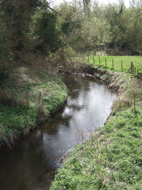
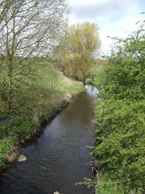
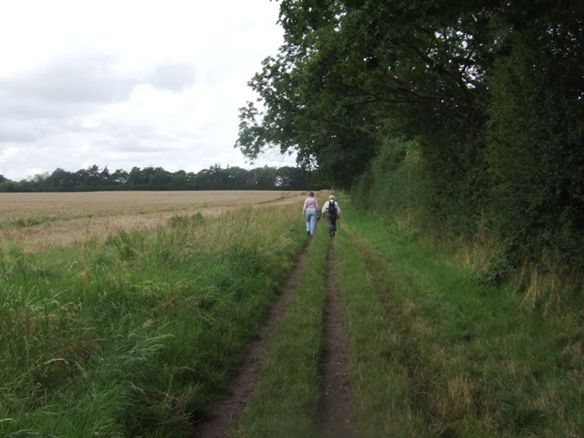
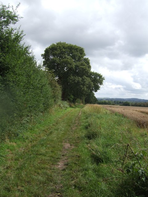
Pendeford Osier Bed is a woodland area located in Staffordshire, England. Covering an estimated area of approximately 20 acres, it is known for its abundant growth of osier trees. Also referred to as wood or forest, the osier bed is situated in the Pendeford area, which lies in the northern part of the county.

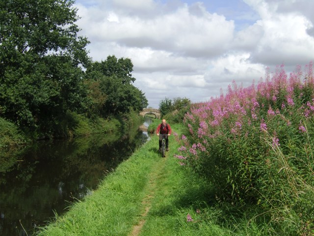
The osier bed is characterized by its dense vegetation, consisting primarily of osier trees. These trees are a type of willow tree that grow particularly well in wet or marshy conditions. They have long, flexible branches that are commonly used for weaving and making baskets. As a result, the osier bed has historical significance as a source of materials for local craftspeople.

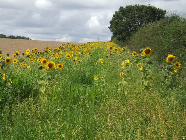
Despite being located in a relatively urbanized area, Pendeford Osier Bed has maintained its natural beauty and is often frequented by nature enthusiasts and birdwatchers. The varied plant life in the area provides a habitat for a diverse range of bird species, making it an attractive spot for birdwatching.

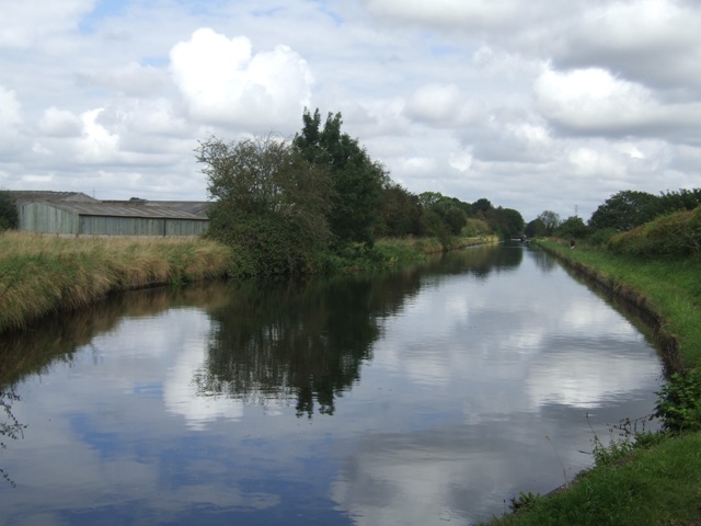
The osier bed is also home to a variety of other wildlife, including small mammals, insects, and amphibians. The presence of a nearby river and wetland areas further enhances the biodiversity of the site.

Pendeford Osier Bed offers a peaceful escape from the hustle and bustle of the surrounding urban environment. It provides an opportunity to immerse oneself in nature and enjoy the tranquility of a woodland setting.

If you have any feedback on the listing, please let us know in the comments section below.

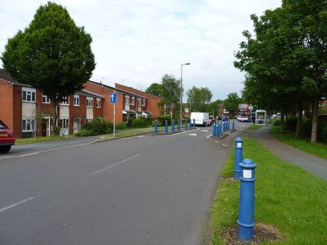
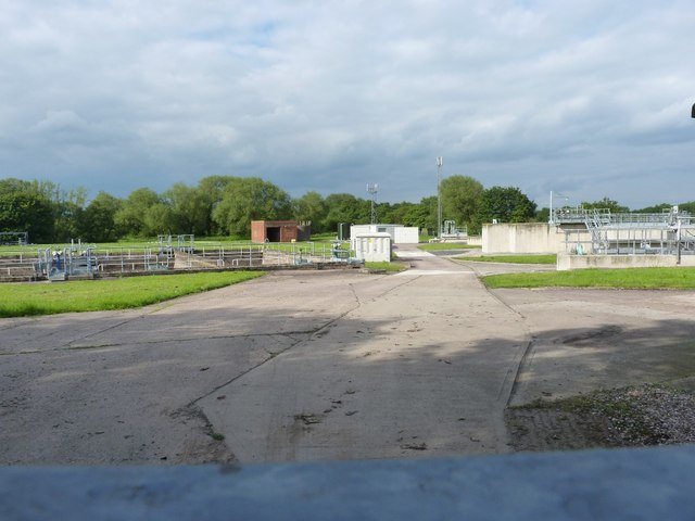
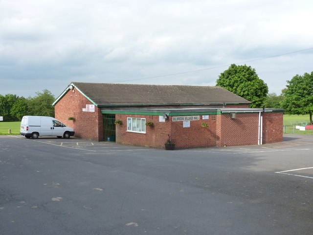
Pendeford Osier Bed Images

Images are sourced within 2km of 52.634237/-2.1592404 or Grid Reference SJ8904. Thanks to Geograph Open Source API. All images are credited.

River Penk - upstream at Pendeford Hall Lane
River Penk - downstream at Pendeford Hall Lane
Bridleway near Long Birch Farm
Pendeford Seventh-day Adventist Church A newish church on Ryefield, which is the main road through the housing estate.
Pendeford Seventh-day Adventist Church
A newish church on Ryefield, which is the main road through the housing estate.
Ryefield, Pendeford Housing (and some traffic restriction measures) on the Ryefield estate in the middle of Pendeford.
Ryefield, Pendeford
Housing (and some traffic restriction measures) on the Ryefield estate in the middle of Pendeford.
Bilbrook water treatment works Or sewage works, if you prefer the older term!
Bilbrook water treatment works
Or sewage works, if you prefer the older term!
Bilbrook village hall On the outskirts of Bilbrook, and adjacent to the playing fields.
Bilbrook village hall
On the outskirts of Bilbrook, and adjacent to the playing fields.
Shropshire Union towpath near Lower Hattons Bridge The Monarch's Way follows the towpath south to Pendeford Bridge on its way from Boscobel to Moseley Old Hall.
Shropshire Union towpath near Lower Hattons Bridge
The Monarch's Way follows the towpath south to Pendeford Bridge on its way from Boscobel to Moseley Old Hall.
Walkers on the Monarchs Way Between Hunting Bridge and Port Lane.
Walkers on the Monarchs Way
Between Hunting Bridge and Port Lane.
Monarch's Way The path drops down from Port Lane to Hunting Bridge heading for Pendeford Mill.
Monarch's Way
The path drops down from Port Lane to Hunting Bridge heading for Pendeford Mill.
National Cycle Route 81 entering Bilbrook (at Joey's Lane) Only a short section of the route is signed into Bilbrook. Eventually the route will link Sandwell (joining with Route 5 from Birmingham) and Aberystwyth via Wolverhampton and Shrewsbury.
National Cycle Route 81 entering Bilbrook (at Joey's Lane)
Only a short section of the route is signed into Bilbrook. Eventually the route will link Sandwell (joining with Route 5 from Birmingham) and Aberystwyth via Wolverhampton and Shrewsbury.
Cyclists on NCN 81 Leaving Joey's Lane beside the Old Village Green.
Cyclists on NCN 81
Leaving Joey's Lane beside the Old Village Green.
The end of NCN 81 in Bilbrook The last sign on this short section of NCN 81 beside the school and leisure centre.
The end of NCN 81 in Bilbrook
The last sign on this short section of NCN 81 beside the school and leisure centre.
Memorial on Bilbrook Village Green The plane is a Boulton Paul Defiant night fighter built nearby in Pendeford.
Memorial on Bilbrook Village Green
The plane is a Boulton Paul Defiant night fighter built nearby in Pendeford.
Detail on sign on village green Celebrating the manufacture of the wartime Boulton Paul Defiant night fighter nearby in Pendeford.

The Defiant was built to meet an RAF specification for a 'turret' fighter to intercept formations of unescorted bombers. The weight of the turret and additional crewman together with minimal front armament left the plane vulnerable to frontal attack from the newer fighters.
Detail on sign on village green
Celebrating the manufacture of the wartime Boulton Paul Defiant night fighter nearby in Pendeford. The Defiant was built to meet an RAF specification for a 'turret' fighter to intercept formations of unescorted bombers. The weight of the turret and additional crewman together with minimal front armament left the plane vulnerable to frontal attack from the newer fighters.
Bilbrook Village Sign Celebrating the manufacture of the wartime Boulton Paul Defiant night fighter nearby in Pendeford.

The Defiant was built to meet an RAF specification for a 'turret' fighter to intercept formations of unescorted bombers. The weight of the turret and additional crewman together with minimal front armament left the plane vulnerable to frontal attack from the newer fighters.
Bilbrook Village Sign
Celebrating the manufacture of the wartime Boulton Paul Defiant night fighter nearby in Pendeford. The Defiant was built to meet an RAF specification for a 'turret' fighter to intercept formations of unescorted bombers. The weight of the turret and additional crewman together with minimal front armament left the plane vulnerable to frontal attack from the newer fighters.
Sunflowers in the field margin
Winding hole north of Lower Hattons Bridge On the Shropshire Union Canal.
Winding hole north of Lower Hattons Bridge
On the Shropshire Union Canal.
Show me another place!

Pendeford Osier Bed is located at Grid Ref: SJ8904 (Lat: 52.634237, Lng: -2.1592404)

Administrative County: Staffordshire

District: South Staffordshire

Police Authority: Staffordshire

What 3 Words

///unfair.oasis.gear. Near Codsall, Staffordshire

Related Wikis

Pendeford

Pendeford is a suburb of Wolverhampton, West Midlands, England. Historically part of Staffordshire, it is situated north-north-west of the city centre...

I54

i54 South Staffordshire is a 98-hectare (240-acre) UK technology-based business park located at Junction 2 on the M54 Motorway in the West Midlands, on...

Bilbrook, Staffordshire

Bilbrook is a village in the South Staffordshire district of Staffordshire, England. It is situated close to the border of the West Midlands, just outside...

Aldersley High School

Aldersley High School is a mixed secondary school and sixth form located in the Pendeford area of Wolverhampton in the West Midlands of England.Despite...

Ormiston NEW Academy

Ormiston NEW Academy (formerly North East Wolverhampton Academy) is a mixed secondary school and sixth form located in the Fordhouses area of Wolverhampton...

Dovecotes, Wolverhampton

Dovecotes is a housing estate at Pendeford, Wolverhampton, West Midlands, England. It is situated NNW of the city centre and neighbours Pendeford Park...

Goodrich F.C.

Goodrich F.C. was a football club based in Wolverhampton, West Midlands, England. The team joined the West Midlands (Regional) League Division One North...

Codsall Community High School

Codsall Community High School is a coeducational upper school and sixth form located in Codsall, Staffordshire, England.It is located in a large village...

Nearby Amenities

Located within 500m of 52.634237,-2.1592404
Caravan Park
Naptan AtcoCode: 3800C607500
Naptan Bearing: N
Naptan BusStopType: CUS
Naptan CommonName: Caravan Park
Naptan Indicator: Adj
Naptan Landmark: Caravan Park
Naptan Street: Pendeford Hall Lane
Naptan Verified: no
Source: naptan_import
Lat/Long: 52.6324154/-2.1551293
Caravan Park
Naptan AtcoCode: 3800C607501
Naptan Bearing: S
Naptan BusStopType: CUS
Naptan CommonName: Caravan Park
Naptan Indicator: Opp
Naptan Landmark: Caravan Pk
Naptan Street: Pendeford Hall Lane
Naptan Verified: no
Source: naptan_import
Lat/Long: 52.6326134/-2.1549675
Parking
Parking: surface
Source: bing
Lat/Long: 52.6338986/-2.1569883
Barrier: yes
Lat/Long: 52.6319038/-2.1562209
Power: pole
Lat/Long: 52.6373672/-2.1637908
Power: pole
Lat/Long: 52.6375949/-2.1621982
Power: pole
Lat/Long: 52.6379042/-2.1599295
Power: pole
Lat/Long: 52.6381404/-2.1581776
The data included in this document is from www.openstreetmap.org. The data is made available under ODbL.

Have you been to Pendeford Osier Bed?

Leave your review of Pendeford Osier Bed below (or comments, questions and feedback).