Island Pool

Lake, Pool, Pond, Freshwater Marsh in Staffordshire South Staffordshire

England

Island Pool

River Penk - upstream at Pendeford Hall Lane
River Penk - upstream at Pendeford Hall Lane Credit: John M

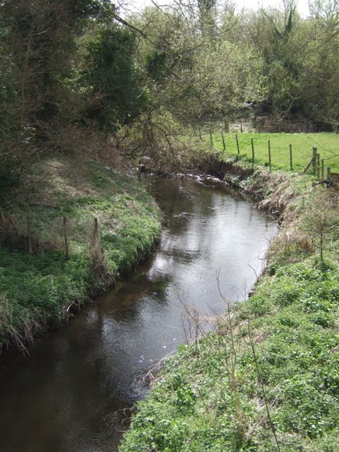
Island Pool is a serene freshwater marsh located in the county of Staffordshire, England. Spanning an area of approximately five hectares, this natural gem is nestled amidst the lush surroundings of Cannock Chase, a designated Area of Outstanding Natural Beauty.

As its name suggests, Island Pool is characterized by its unique island formation, which adds to its charm. The pool is encircled by dense vegetation, including reeds, rushes, and water lilies, providing a haven for various species of waterfowl and other aquatic wildlife. These thriving habitats make Island Pool a popular destination for birdwatchers and nature enthusiasts alike.

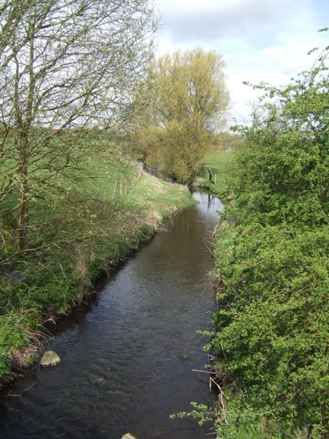
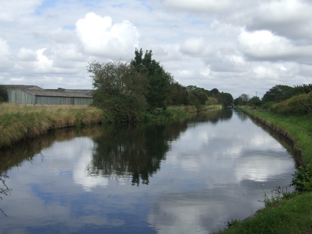
The pool itself is a tranquil expanse of calm, clear water, reflecting the picturesque surroundings. It offers ample opportunities for fishing enthusiasts, with a wide variety of fish species including carp, perch, and bream. Anglers can be seen lining the banks, patiently waiting for a bite.

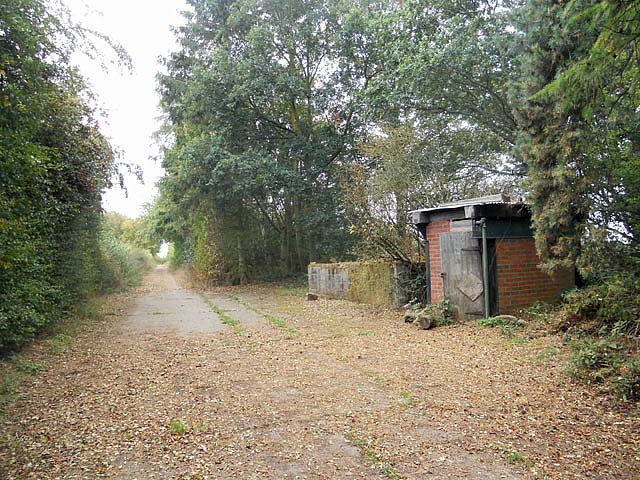
Island Pool also serves as a recreational spot for visitors, who can enjoy leisurely walks along the well-maintained footpaths that wind through the marsh. The peaceful ambiance and stunning views make it an ideal spot for picnicking or simply unwinding amidst nature's beauty.

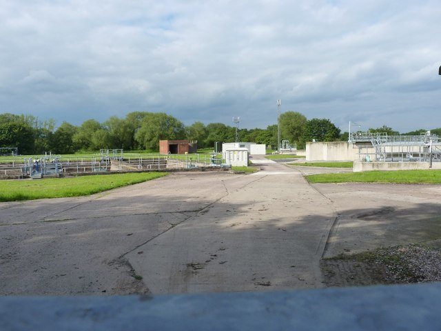
Managed by the Forestry Commission, Island Pool is a protected site, ensuring the preservation of its delicate ecosystem. The commission's efforts include maintaining the water quality, managing vegetation growth, and promoting sustainable fishing practices.

In conclusion, Island Pool in Staffordshire is a natural haven that offers a tranquil escape from the bustling city life. With its diverse wildlife, scenic beauty, and recreational opportunities, it remains a cherished destination for those seeking solace in nature.

If you have any feedback on the listing, please let us know in the comments section below.
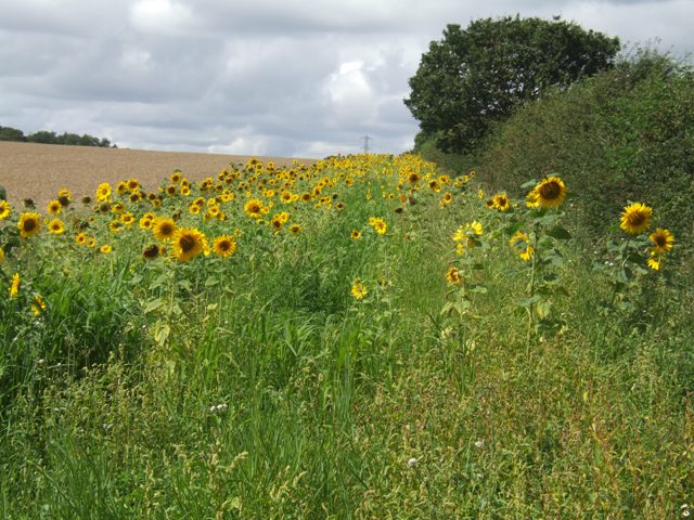
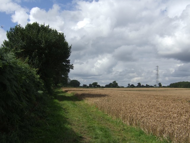
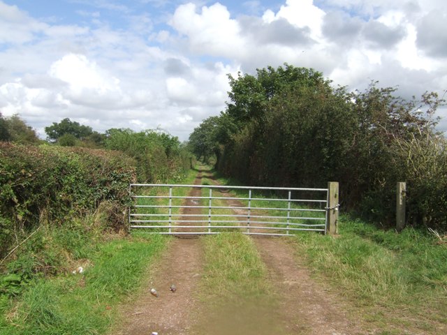
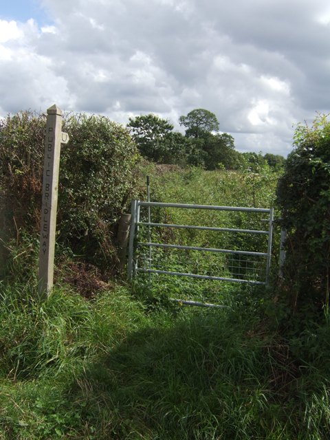
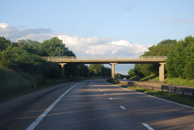
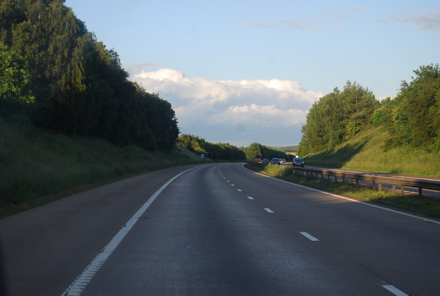
Island Pool Images

Images are sourced within 2km of 52.637389/-2.1554394 or Grid Reference SJ8904. Thanks to Geograph Open Source API. All images are credited.

River Penk - upstream at Pendeford Hall Lane
River Penk - downstream at Pendeford Hall Lane
Bridleway near Long Birch Farm
Bilbrook water treatment works Or sewage works, if you prefer the older term!
Bilbrook water treatment works
Or sewage works, if you prefer the older term!
Bilbrook village hall On the outskirts of Bilbrook, and adjacent to the playing fields.
Bilbrook village hall
On the outskirts of Bilbrook, and adjacent to the playing fields.
Shropshire Union towpath near Lower Hattons Bridge The Monarch's Way follows the towpath south to Pendeford Bridge on its way from Boscobel to Moseley Old Hall.
Shropshire Union towpath near Lower Hattons Bridge
The Monarch's Way follows the towpath south to Pendeford Bridge on its way from Boscobel to Moseley Old Hall.
Walkers on the Monarchs Way Between Hunting Bridge and Port Lane.
Walkers on the Monarchs Way
Between Hunting Bridge and Port Lane.
Monarch's Way The path drops down from Port Lane to Hunting Bridge heading for Pendeford Mill.
Monarch's Way
The path drops down from Port Lane to Hunting Bridge heading for Pendeford Mill.
National Cycle Route 81 entering Bilbrook (at Joey's Lane) Only a short section of the route is signed into Bilbrook. Eventually the route will link Sandwell (joining with Route 5 from Birmingham) and Aberystwyth via Wolverhampton and Shrewsbury.
National Cycle Route 81 entering Bilbrook (at Joey's Lane)
Only a short section of the route is signed into Bilbrook. Eventually the route will link Sandwell (joining with Route 5 from Birmingham) and Aberystwyth via Wolverhampton and Shrewsbury.
Cyclists on NCN 81 Leaving Joey's Lane beside the Old Village Green.
Cyclists on NCN 81
Leaving Joey's Lane beside the Old Village Green.
Bilbrook Village Sign Celebrating the manufacture of the wartime Boulton Paul Defiant night fighter nearby in Pendeford.

The Defiant was built to meet an RAF specification for a 'turret' fighter to intercept formations of unescorted bombers. The weight of the turret and additional crewman together with minimal front armament left the plane vulnerable to frontal attack from the newer fighters.
Bilbrook Village Sign
Celebrating the manufacture of the wartime Boulton Paul Defiant night fighter nearby in Pendeford. The Defiant was built to meet an RAF specification for a 'turret' fighter to intercept formations of unescorted bombers. The weight of the turret and additional crewman together with minimal front armament left the plane vulnerable to frontal attack from the newer fighters.
Sunflowers in the field margin
Monarch's Way The footpath drops down from Port Lane to Hunting Bridge.
Monarch's Way
The footpath drops down from Port Lane to Hunting Bridge.
Winding hole north of Lower Hattons Bridge On the Shropshire Union Canal.
Winding hole north of Lower Hattons Bridge
On the Shropshire Union Canal.
Farm lane by the Hattons Permissive footpath and bridleway.
Farm lane by the Hattons
Permissive footpath and bridleway.
Bridleway to Pendeford The overgrown path looked to be too much of a challenge without a machete.
Bridleway to Pendeford
The overgrown path looked to be too much of a challenge without a machete.
M54, Port Lane Bridge The M54 is a 23 mile east-west motorway in Shropshire and Staffordshire. It is a two-lane dual carriageway for the majority of its length, with sections of three-lane.
The M54 spur connects the M6 motorway near Essington, Staffordshire with the A5 trunk road at Wellington, Shropshire. The motorway forms part of the route to North Wales, roughly following the path of the Roman Watling Street and the A5 north-westwards, towards the port of Holyhead.
M54, Port Lane Bridge
The M54 is a 23 mile east-west motorway in Shropshire and Staffordshire. It is a two-lane dual carriageway for the majority of its length, with sections of three-lane. The M54 spur connects the M6 motorway near Essington, Staffordshire with the A5 trunk road at Wellington, Shropshire. The motorway forms part of the route to North Wales, roughly following the path of the Roman Watling Street and the A5 north-westwards, towards the port of Holyhead.
M54, eastbound The M54 is a 23 mile east-west motorway in Shropshire and Staffordshire. It is a two-lane dual carriageway for the majority of its length, with sections of three-lane.
The M54 spur connects the M6 motorway near Essington, Staffordshire with the A5 trunk road at Wellington, Shropshire. The motorway forms part of the route to North Wales, roughly following the path of the Roman Watling Street and the A5 north-westwards, towards the port of Holyhead.
M54, eastbound
The M54 is a 23 mile east-west motorway in Shropshire and Staffordshire. It is a two-lane dual carriageway for the majority of its length, with sections of three-lane. The M54 spur connects the M6 motorway near Essington, Staffordshire with the A5 trunk road at Wellington, Shropshire. The motorway forms part of the route to North Wales, roughly following the path of the Roman Watling Street and the A5 north-westwards, towards the port of Holyhead.
Show me another place!

Island Pool is located at Grid Ref: SJ8904 (Lat: 52.637389, Lng: -2.1554394)

Administrative County: Staffordshire

District: South Staffordshire

Police Authority: Staffordshire

What 3 Words

///police.slide.social. Near Coven, Staffordshire

Related Wikis

I54

i54 South Staffordshire is a 98-hectare (240-acre) UK technology-based business park located at Junction 2 on the M54 Motorway in the West Midlands, on...

Pendeford

Pendeford is a suburb of Wolverhampton, West Midlands, England. Historically part of Staffordshire, it is situated north-north-west of the city centre...

Goodrich F.C.

Goodrich F.C. was a football club based in Wolverhampton, West Midlands, England. The team joined the West Midlands (Regional) League Division One North...

Coven, Staffordshire

Coven is a village in the district of South Staffordshire, England, near to the border with Wolverhampton. Together with Brewood it forms part of the...

Bilbrook, Staffordshire

Bilbrook is a village in the South Staffordshire district of Staffordshire, England. It is situated close to the border of the West Midlands, just outside...

Ormiston NEW Academy

Ormiston NEW Academy (formerly North East Wolverhampton Academy) is a mixed secondary school and sixth form located in the Fordhouses area of Wolverhampton...

Fordhouses

Fordhouses is a suburb of Wolverhampton, West Midlands, England. It is situated to the north of the city centre, adjacent to the border with Staffordshire...

Aldersley High School

Aldersley High School is a mixed secondary school and sixth form located in the Pendeford area of Wolverhampton in the West Midlands of England.Despite...

Nearby Amenities

Located within 500m of 52.637389,-2.1554394
Phone
Emergency: phone
Ref: 3174 B
Lat/Long: 52.6389975/-2.1487605
Phone
Emergency: phone
Ref: 3174 A
Lat/Long: 52.6387503/-2.1488356
Parking
Parking: surface
Source: bing
Lat/Long: 52.6338986/-2.1569883
Power: pole
Lat/Long: 52.6375949/-2.1621982
Power: pole
Lat/Long: 52.6379042/-2.1599295
Power: pole
Lat/Long: 52.6381404/-2.1581776
Power: pole
Lat/Long: 52.6384239/-2.1561249
Power: pole
Lat/Long: 52.6386817/-2.1543305
Power: pole
Lat/Long: 52.6390296/-2.1521822
Power: pole
Lat/Long: 52.6389179/-2.1521256
Power: pole
Lat/Long: 52.6391694/-2.1490379
Material: wood
Power: pole
Lat/Long: 52.6391304/-2.1487805
The data included in this document is from www.openstreetmap.org. The data is made available under ODbL.

Have you been to Island Pool?

Leave your review of Island Pool below (or comments, questions and feedback).