Limekiln Plantation
Wood, Forest in Dorset
England
Limekiln Plantation
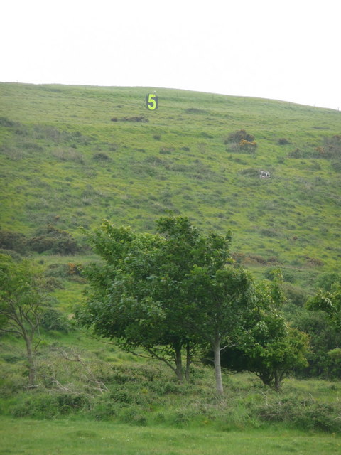
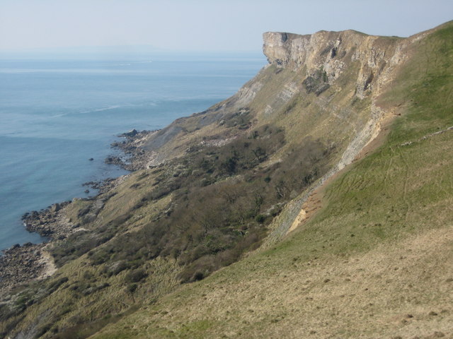
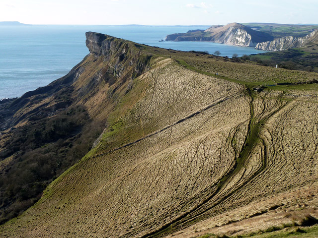
Limekiln Plantation is a picturesque woodland located in the county of Dorset, England. Covering an area of approximately 100 acres, the plantation is renowned for its diverse range of trees and rich flora and fauna. It is a popular destination for nature enthusiasts, hikers, and families seeking a serene escape from the bustling cities.
The woodland is predominantly composed of ancient oak and beech trees, which provide a stunning canopy during the summer months. These majestic trees create a peaceful atmosphere and offer shade to visitors on hot days. The forest floor is carpeted with a variety of wildflowers, including bluebells, primroses, and wood anemones, adding vibrant bursts of color to the landscape.
Limekiln Plantation also boasts a network of well-marked trails, making it an ideal spot for hiking and walking. Visitors can explore the winding paths that lead through the woodland, providing ample opportunities to spot wildlife such as deer, foxes, and various bird species.
The plantation is well-maintained, with periodic conservation efforts aimed at preserving the natural beauty of the area. The management actively promotes sustainable practices, ensuring the protection of the woodland and its ecosystem.
Facilities at Limekiln Plantation include a visitor center, picnic areas, and ample parking space. The visitor center provides information about the flora and fauna found in the woodland, as well as guided tours and educational programs for visitors of all ages.
Overall, Limekiln Plantation offers a tranquil retreat for nature lovers, with its stunning woodland, diverse wildlife, and well-maintained facilities making it a must-visit destination in Dorset.
If you have any feedback on the listing, please let us know in the comments section below.
Limekiln Plantation Images
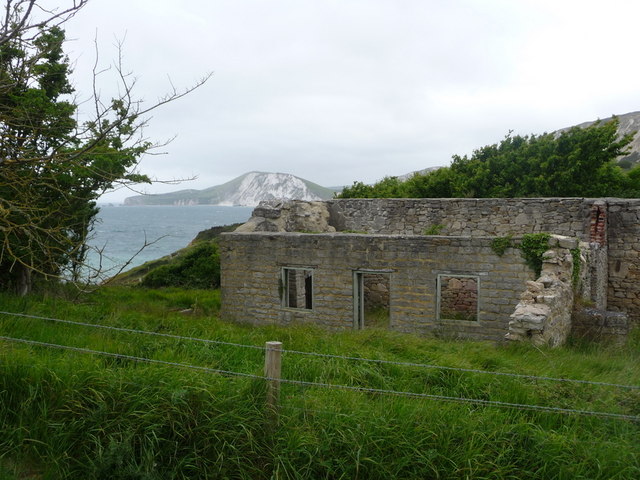
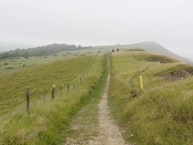
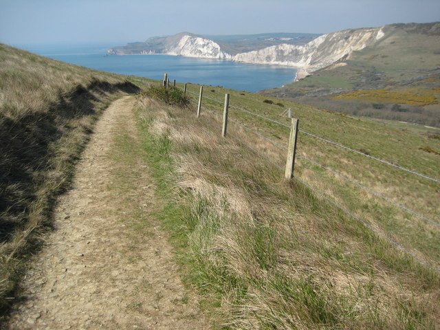
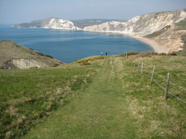
Images are sourced within 2km of 50.627223/-2.1594641 or Grid Reference SY8880. Thanks to Geograph Open Source API. All images are credited.


Limekiln Plantation is located at Grid Ref: SY8880 (Lat: 50.627223, Lng: -2.1594641)
Unitary Authority: Dorset
Police Authority: Dorset
What 3 Words
///galloping.planet.tolls. Near Wool, Dorset
Nearby Locations
Related Wikis

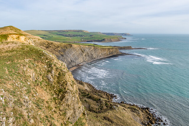
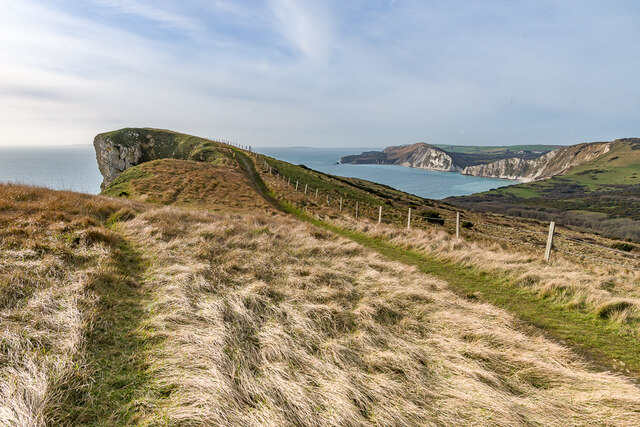
Povington Hill
Povington Hill, at 198 metres (650 ft) high, is one of the highest points on the chain of the Purbeck Hills in south Dorset on the southern coast of England...

Povington Priory
Povington Priory was a Benedictine priory in Tyneham, Dorset, England. It was established as an alien priory of the Abbey of Bec. This term could mean...

St Mary's Church, Tyneham
St Mary's Church is a former Church of England parish church in Tyneham, Dorset, England. The church, which is a Grade II listed building, has 13th-century...

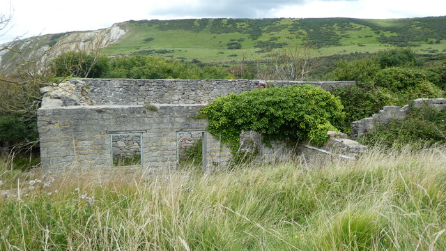
Tyneham
Tyneham is a ghost village abandoned in 1943 and former civil parish, now in the parish of Steeple with Tyneham, in the Dorset district, in the south of...
Nearby Amenities
Located within 500m of 50.627223,-2.1594641Have you been to Limekiln Plantation?
Leave your review of Limekiln Plantation below (or comments, questions and feedback).