Stourton Plantation
Wood, Forest in Wiltshire
England
Stourton Plantation

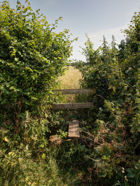
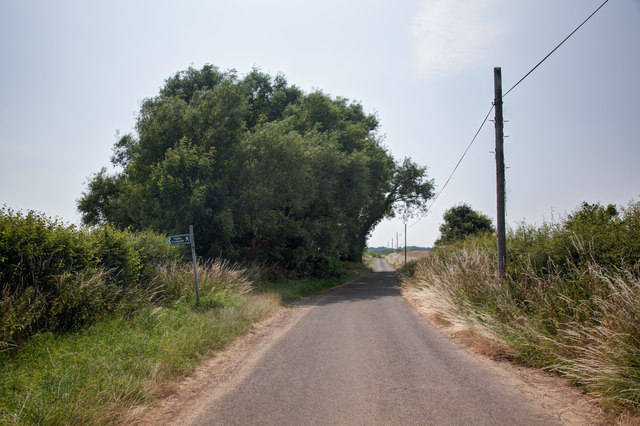
Stourton Plantation is a vast woodland area located in the county of Wiltshire, England. Spread over an area of approximately 1,000 acres, it is known for its rich biodiversity and natural beauty. The plantation is situated in the picturesque Stourhead estate, adjacent to the world-famous Stourhead House and Gardens.
The woodland is predominantly made up of broadleaf trees, including oak, beech, and ash, which create a dense canopy that provides shade and shelter for various wildlife species. The forest floor is adorned with a vibrant carpet of wildflowers, ferns, and mosses, adding to its enchanting atmosphere.
Stourton Plantation is a popular destination for nature enthusiasts and outdoor enthusiasts alike. It offers numerous walking trails, allowing visitors to explore the woodland and immerse themselves in its tranquil surroundings. The plantation also attracts birdwatchers, as it is home to a variety of bird species, including woodpeckers, owls, and songbirds.
In addition to its natural beauty, Stourton Plantation holds historical significance. It was initially established as a timber plantation in the 18th century, serving as a valuable resource for the local timber industry. Today, remnants of the plantation's past can still be seen in the form of old tree stumps and the occasional sawmill ruins.
Overall, Stourton Plantation in Wiltshire offers a serene and captivating environment for visitors to connect with nature, explore its diverse flora and fauna, and appreciate its cultural heritage.
If you have any feedback on the listing, please let us know in the comments section below.
Stourton Plantation Images
Images are sourced within 2km of 51.315607/-2.1617711 or Grid Reference ST8857. Thanks to Geograph Open Source API. All images are credited.


Stourton Plantation is located at Grid Ref: ST8857 (Lat: 51.315607, Lng: -2.1617711)
Unitary Authority: Wiltshire
Police Authority: Wiltshire
What 3 Words
///overgrown.mash.pausing. Near Trowbridge, Wiltshire
Nearby Locations
Related Wikis
Ashton Common
Ashton Common is a hamlet in Wiltshire, England, to the east of Trowbridge. The hamlet lies on Common Hill, a little south of the A350 road, within the...

Rood Ashton House
Rood Ashton House was a country house in Wiltshire, England, standing in parkland 0.5 miles (0.80 km) northeast of the village of West Ashton, near Trowbridge...

Whorwellsdown Hundred
Whorwellsdown was a hundred of the English county of Wiltshire, lying in the west of the county to the south of the towns of Bradford on Avon and Melksham...

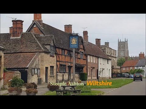
Steeple Ashton
Steeple Ashton is a village and civil parish in Wiltshire, England, 3 miles (4.8 km) east of Trowbridge. In the north of the parish are the hamlets of...
Related Videos
Cow Facts for Kids - 10 Questions! (Q&A) - A Video by Joel Self - Outdoor Instructor
A recent video of mine showed me relaxing with some cows on my early morning walk, this sparked a few questions from my ...
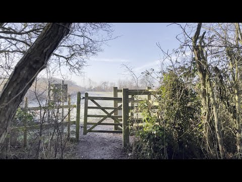
A winter walk in the woods - Jan 22
This is a short film of a walk around the woods behind my house on a sunny but cold and frosty morning in January 2022. Its taken ...
Steeple Ashton Village, English Countryside 4K
https://www.buymeacoffee.com/Daveswalks All support is hugely appreciated and it helps me keep the channel going! No talking ...
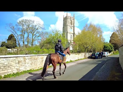
Censored VanLife S06E53 Steeple Ashton in Wiltshire, England
There are so many beautiful things to see in the United Kingdom that even just by roaming around aimlessly on the backroads you ...
Nearby Amenities
Located within 500m of 51.315607,-2.1617711Have you been to Stourton Plantation?
Leave your review of Stourton Plantation below (or comments, questions and feedback).