Rook Grove

Wood, Forest in Dorset

England

Rook Grove

Boat in Warbarrow Bay
Boat in Warbarrow Bay Credit: Basher Eyre

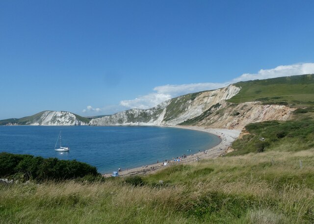
Rook Grove is a picturesque woodland located in the county of Dorset, England. Situated amidst the stunning natural beauty of the region, this enchanting forest spans an area of approximately 500 acres. With its diverse range of flora and fauna, Rook Grove is a haven for nature enthusiasts and a popular destination for hikers, birdwatchers, and photographers.

The forest is primarily composed of broadleaf trees, including oak, beech, and birch, which create a vibrant canopy that changes with the seasons. In spring, the woodland floor is carpeted with a colorful array of wildflowers, while in autumn, the trees transform into a breathtaking display of golden hues.

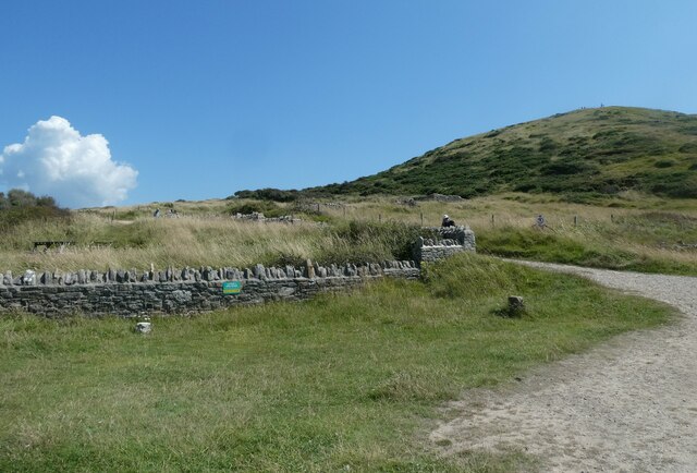
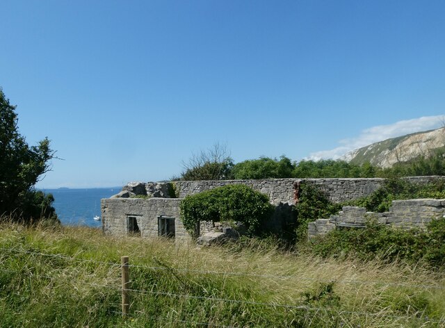
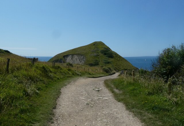
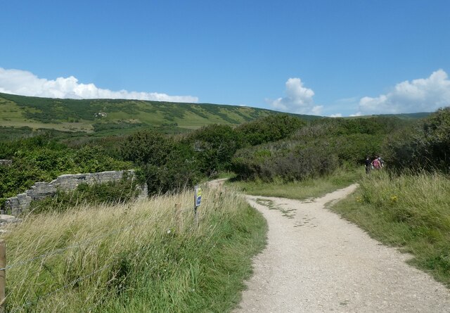
Rook Grove boasts an extensive network of well-maintained trails, allowing visitors to explore its hidden treasures. These paths wind their way through dense thickets, serene meadows, and alongside babbling brooks, offering a sense of tranquility and serenity. It is not uncommon to spot a variety of wildlife during a walk in the forest, including deer, foxes, badgers, and a plethora of bird species.

To enhance the visitor experience, Rook Grove features several designated picnic areas, where families and friends can enjoy a leisurely lunch surrounded by nature's beauty. Additionally, there are a few well-placed benches throughout the forest, providing a perfect spot for contemplation or simply taking in the sights and sounds of this idyllic woodland.

Overall, Rook Grove, Dorset, is a captivating destination for anyone seeking solace in nature. Its lush greenery, diverse ecosystem, and peaceful ambiance make it an unforgettable place to explore and connect with the natural world.

If you have any feedback on the listing, please let us know in the comments section below.

Rook Grove Images

Images are sourced within 2km of 50.625836/-2.1677297 or Grid Reference SY8880. Thanks to Geograph Open Source API. All images are credited.

Boat in Warbarrow Bay
Start of the path back from Worbarrow Bay to Tyneham
All that remains of Hope Cottages
Looking back to Worbarrow Tout
Path branch at Worbarrow Bay The left is the Hardy Way <span class="nowrap"><a title="https://www.ldwa.org.uk/ldp/members/show_path.php?path_name=Hardy+Way" rel="nofollow ugc noopener" href="https://www.ldwa.org.uk/ldp/members/show_path.php?path_name=Hardy+Way">Link</a><img style="margin-left:2px;" alt="External link" title="External link - shift click to open in new window" src="https://s1.geograph.org.uk/img/external.png" width="10" height="10"/></span> and the right the South West Coast Path <span class="nowrap"><a title="https://www.nationaltrail.co.uk/en_GB/trails/south-west-coast-path/" rel="nofollow ugc noopener" href="https://www.nationaltrail.co.uk/en_GB/trails/south-west-coast-path/">Link</a><img style="margin-left:2px;" alt="External link" title="External link - shift click to open in new window" src="https://s1.geograph.org.uk/img/external.png" width="10" height="10"/></span>
Path branch at Worbarrow Bay
The left is the Hardy Way LinkExternal link and the right the South West Coast Path LinkExternal link
Path marker at Worbarrow Bay
Information board at Worbarrow Bay
Tyneham Lulworth Cove Tyneham Lulworth Cove view
Tyneham Lulworth Cove
Tyneham Lulworth Cove view
Worbarrow building Worbarrow, what remains of the building
Worbarrow building
Worbarrow, what remains of the building
Worbarrow Tout Warbarrow Tout view
Worbarrow Tout
Warbarrow Tout view
Coastal path sign Lulworth Cove Tyneham Coastal path sign Lulworth Cove Tyneham
Coastal path sign Lulworth Cove Tyneham
Tyneham: a ‘5’ on the firing range One of a series of large figures displayed along the slopes of Tyneham, which are targets of the military firing range.
Tyneham: a ‘5’ on the firing range
One of a series of large figures displayed along the slopes of Tyneham, which are targets of the military firing range.
Tyneham: ruined cottage and bay view Looking across Worbarrow Bay towards Bindon Hill, beyond one of the ruined cottages of Tyneham village.
Tyneham: ruined cottage and bay view
Looking across Worbarrow Bay towards Bindon Hill, beyond one of the ruined cottages of Tyneham village.
Tyneham: approaching Worbarrow Tout The path from Tyneham village approaches the coast and in front of us is Worbarrow Tout, a large lump jutting out into the sea.
Tyneham: approaching Worbarrow Tout
The path from Tyneham village approaches the coast and in front of us is Worbarrow Tout, a large lump jutting out into the sea.
Tyneham: Worbarrow information board A display gives information on the geology, flora and fauna of the area and also the history of the village, now long forgotten after the Coastguard station closed in 1911. This was some 30 years before the village of Tyneham, just up the valley, became deserted under very different circumstances.
Tyneham: Worbarrow information board
A display gives information on the geology, flora and fauna of the area and also the history of the village, now long forgotten after the Coastguard station closed in 1911. This was some 30 years before the village of Tyneham, just up the valley, became deserted under very different circumstances.
Tyneham: waves on Worbarrow Bay A windy day on this exposed bit of coast, and the waves are big and impressive as we look along the edge of Worbarrow Bay towards the slopes of Bindon Hill in the background.
Tyneham: waves on Worbarrow Bay
A windy day on this exposed bit of coast, and the waves are big and impressive as we look along the edge of Worbarrow Bay towards the slopes of Bindon Hill in the background.
Tyneham: Worbarrow Bay and Tout A cloudy day at this attractive seaside spot.
Tyneham: Worbarrow Bay and Tout
A cloudy day at this attractive seaside spot.
Tyneham: ruins of cottage on Worbarrow Bay After the closure of the coastguard station at Worbarrow Bay in 1911 had heralded the demise of the village, the requisitoning of the whole of Tyneham parish in 1943 finished it off completely. All the houses in the two villages are in ruins today, such as this one, right above the bay.
Tyneham: ruins of cottage on Worbarrow Bay
After the closure of the coastguard station at Worbarrow Bay in 1911 had heralded the demise of the village, the requisitoning of the whole of Tyneham parish in 1943 finished it off completely. All the houses in the two villages are in ruins today, such as this one, right above the bay.
Show me another place!

Rook Grove is located at Grid Ref: SY8880 (Lat: 50.625836, Lng: -2.1677297)

Unitary Authority: Dorset

Police Authority: Dorset

What 3 Words

///drape.plan.watchdogs. Near Wool, Dorset

Related Wikis

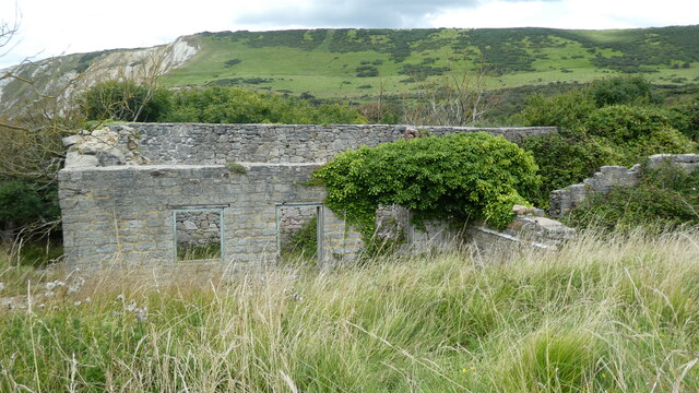
St Mary's Church, Tyneham

St Mary's Church is a former Church of England parish church in Tyneham, Dorset, England. The church, which is a Grade II listed building, has 13th-century...
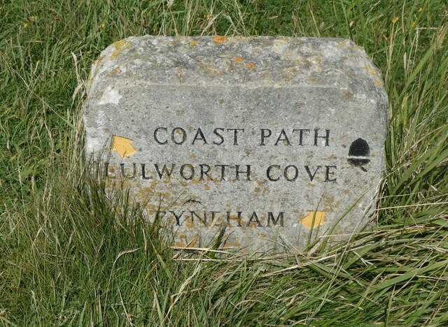
Tyneham

Tyneham is a ghost village abandoned in 1943 and former civil parish, now in the parish of Steeple with Tyneham, in the Dorset district, in the south of...

Povington Priory

Povington Priory was a Benedictine priory in Tyneham, Dorset, England. It was established as an alien priory of the Abbey of Bec. This term could mean...
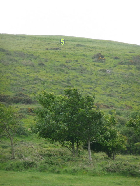
Povington Hill

Povington Hill, at 198 metres (650 ft) high, is one of the highest points on the chain of the Purbeck Hills in south Dorset on the southern coast of England...

Gad Cliff

Gad Cliff is a south-facing cliff face, immediately to the east of Worbarrow Tout and Pondfield Cove, on the south coast of the Isle of Purbeck in Dorset...
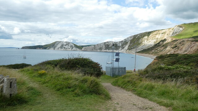
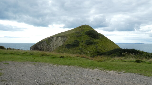
Tyneham Cap

Tyneham Cap is a prominent, grassy knoll, 167 metres (548 ft) high, on the South West Coast Path in Dorset, England. It rises above Brandy Bay and has...
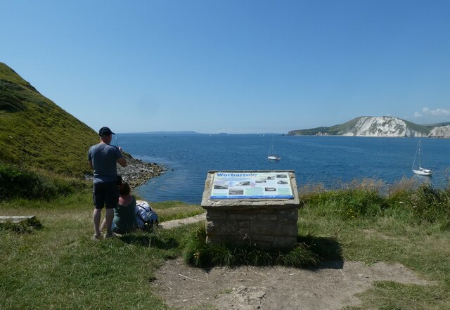
Brandy Bay, Dorset

Brandy Bay is a small secluded southwest-facing bay, with an oil shale and shingle beach immediately below Gad Cliff and Tyneham Cap, to the east of Worbarrow...
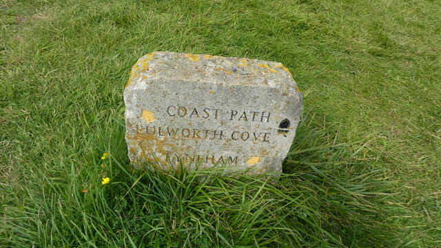
Lulworth Ranges

The Lulworth Ranges are military firing ranges located between Wareham and Lulworth in Dorset, England. They cover an area of more than 2,830 hectares...

Nearby Amenities

Located within 500m of 50.625836,-2.1677297
Telephone
Booth: K1
Check Date: 2023-07-22
Colour: white and red
Covered: booth
Lat/Long: 50.6226298/-2.1686598
The data included in this document is from www.openstreetmap.org. The data is made available under ODbL.

Have you been to Rook Grove?

Leave your review of Rook Grove below (or comments, questions and feedback).