Long Copse

Wood, Forest in Dorset

England

Long Copse

Boat in Warbarrow Bay
Boat in Warbarrow Bay Credit: Basher Eyre

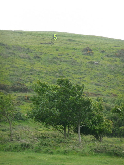
Long Copse is a picturesque woodland located in the county of Dorset, in the southwestern region of England. Covering an area of approximately 100 acres, this enchanting forest is nestled within the rolling countryside of the Cranborne Chase and West Wiltshire Downs Area of Outstanding Natural Beauty.

Long Copse is renowned for its diverse range of tree species, including towering oak, beech, and ash trees that form a dense canopy overhead. The forest floor is adorned with a vibrant tapestry of wildflowers, ferns, and mosses, creating a captivating kaleidoscope of colors throughout the year.

Wandering through the winding pathways of Long Copse, visitors can immerse themselves in the tranquil ambiance of nature. The woodland is home to a rich array of wildlife, including deer, foxes, badgers, and a variety of bird species. Nature enthusiasts can enjoy birdwatching, as well as the opportunity to spot rare butterflies and dragonflies that inhabit the area.

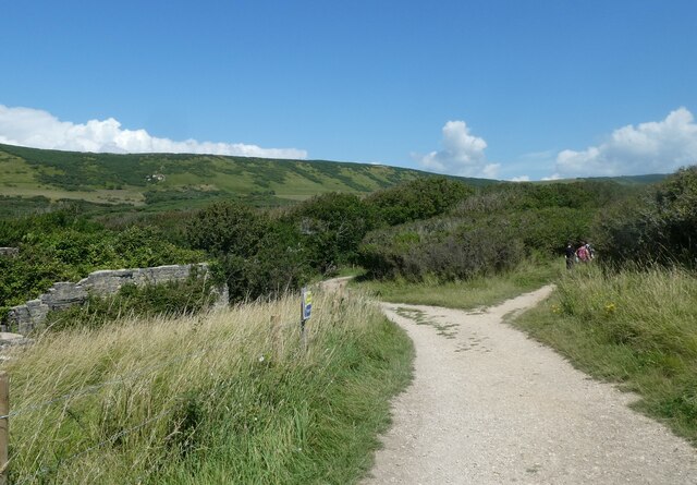
For those seeking a peaceful retreat, Long Copse offers several secluded areas with rustic benches and picnic spots, providing the perfect setting for a leisurely lunch amidst the serenity of the forest. Additionally, the woodland is crisscrossed by a network of footpaths and bridleways, allowing for pleasant walks, horse riding, and cycling adventures.

Long Copse is a cherished natural gem in Dorset, attracting both locals and tourists alike who seek solace in its ancient woodland beauty. With its diverse flora and fauna, peaceful atmosphere, and scenic landscapes, Long Copse offers a truly rejuvenating experience for all who venture into its leafy embrace.

If you have any feedback on the listing, please let us know in the comments section below.
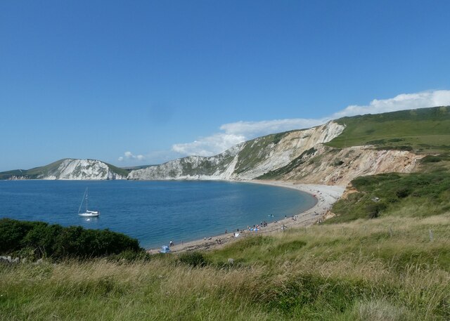
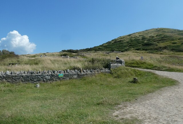
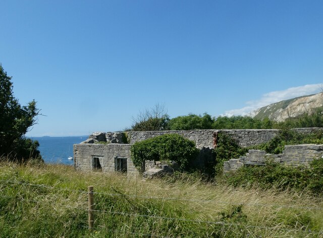
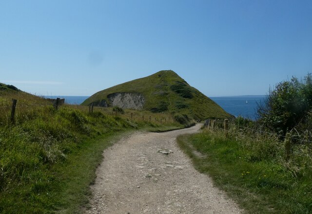
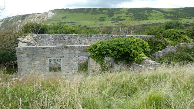
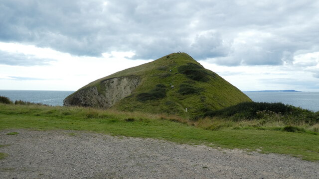
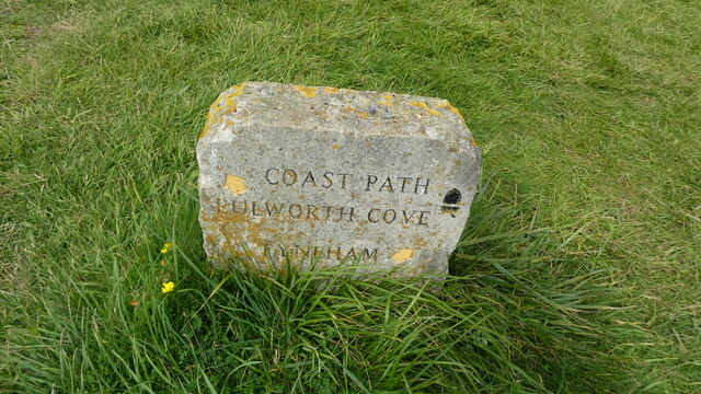
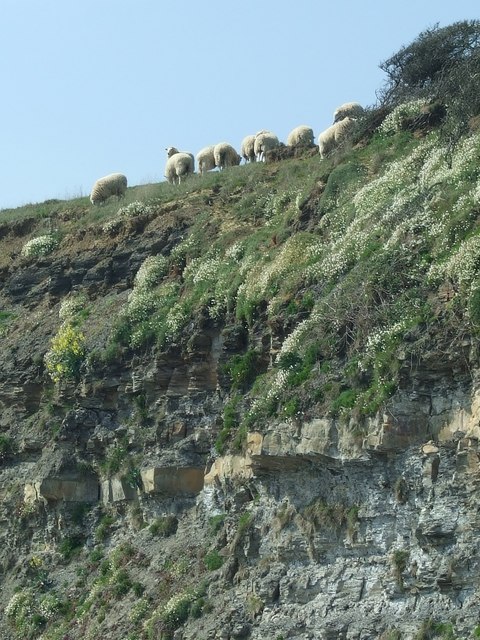
Long Copse Images

Images are sourced within 2km of 50.624784/-2.1612088 or Grid Reference SY8880. Thanks to Geograph Open Source API. All images are credited.

Boat in Warbarrow Bay
Start of the path back from Worbarrow Bay to Tyneham
All that remains of Hope Cottages
Looking back to Worbarrow Tout
Path branch at Worbarrow Bay The left is the Hardy Way <span class="nowrap"><a title="https://www.ldwa.org.uk/ldp/members/show_path.php?path_name=Hardy+Way" rel="nofollow ugc noopener" href="https://www.ldwa.org.uk/ldp/members/show_path.php?path_name=Hardy+Way">Link</a><img style="margin-left:2px;" alt="External link" title="External link - shift click to open in new window" src="https://s1.geograph.org.uk/img/external.png" width="10" height="10"/></span> and the right the South West Coast Path <span class="nowrap"><a title="https://www.nationaltrail.co.uk/en_GB/trails/south-west-coast-path/" rel="nofollow ugc noopener" href="https://www.nationaltrail.co.uk/en_GB/trails/south-west-coast-path/">Link</a><img style="margin-left:2px;" alt="External link" title="External link - shift click to open in new window" src="https://s1.geograph.org.uk/img/external.png" width="10" height="10"/></span>
Path branch at Worbarrow Bay
The left is the Hardy Way LinkExternal link and the right the South West Coast Path LinkExternal link
Path marker at Worbarrow Bay
Information board at Worbarrow Bay
Tyneham Lulworth Cove Tyneham Lulworth Cove view
Tyneham Lulworth Cove
Tyneham Lulworth Cove view
Worbarrow building Worbarrow, what remains of the building
Worbarrow building
Worbarrow, what remains of the building
Worbarrow Tout Warbarrow Tout view
Worbarrow Tout
Warbarrow Tout view
Coastal path sign Lulworth Cove Tyneham Coastal path sign Lulworth Cove Tyneham
Coastal path sign Lulworth Cove Tyneham
Cliff Top Sheep, Kimmeridge Bay No Fear! - these sheep appeared totally at ease on the edge of the cliffs, which are known for rock falls.
Cliff Top Sheep, Kimmeridge Bay
No Fear! - these sheep appeared totally at ease on the edge of the cliffs, which are known for rock falls.
Tyneham: a ‘5’ on the firing range One of a series of large figures displayed along the slopes of Tyneham, which are targets of the military firing range.
Tyneham: a ‘5’ on the firing range
One of a series of large figures displayed along the slopes of Tyneham, which are targets of the military firing range.
Tyneham: ruined cottage and bay view Looking across Worbarrow Bay towards Bindon Hill, beyond one of the ruined cottages of Tyneham village.
Tyneham: ruined cottage and bay view
Looking across Worbarrow Bay towards Bindon Hill, beyond one of the ruined cottages of Tyneham village.
Tyneham: approaching Worbarrow Tout The path from Tyneham village approaches the coast and in front of us is Worbarrow Tout, a large lump jutting out into the sea.
Tyneham: approaching Worbarrow Tout
The path from Tyneham village approaches the coast and in front of us is Worbarrow Tout, a large lump jutting out into the sea.
Tyneham: Worbarrow information board A display gives information on the geology, flora and fauna of the area and also the history of the village, now long forgotten after the Coastguard station closed in 1911. This was some 30 years before the village of Tyneham, just up the valley, became deserted under very different circumstances.
Tyneham: Worbarrow information board
A display gives information on the geology, flora and fauna of the area and also the history of the village, now long forgotten after the Coastguard station closed in 1911. This was some 30 years before the village of Tyneham, just up the valley, became deserted under very different circumstances.
Tyneham: waves on Worbarrow Bay A windy day on this exposed bit of coast, and the waves are big and impressive as we look along the edge of Worbarrow Bay towards the slopes of Bindon Hill in the background.
Tyneham: waves on Worbarrow Bay
A windy day on this exposed bit of coast, and the waves are big and impressive as we look along the edge of Worbarrow Bay towards the slopes of Bindon Hill in the background.
Tyneham: Worbarrow Bay and Tout A cloudy day at this attractive seaside spot.
Tyneham: Worbarrow Bay and Tout
A cloudy day at this attractive seaside spot.
Show me another place!

Long Copse is located at Grid Ref: SY8880 (Lat: 50.624784, Lng: -2.1612088)

Unitary Authority: Dorset

Police Authority: Dorset

What 3 Words

///creatures.cross.halt. Near Wool, Dorset

Related Wikis

Povington Hill

Povington Hill, at 198 metres (650 ft) high, is one of the highest points on the chain of the Purbeck Hills in south Dorset on the southern coast of England...

St Mary's Church, Tyneham

St Mary's Church is a former Church of England parish church in Tyneham, Dorset, England. The church, which is a Grade II listed building, has 13th-century...
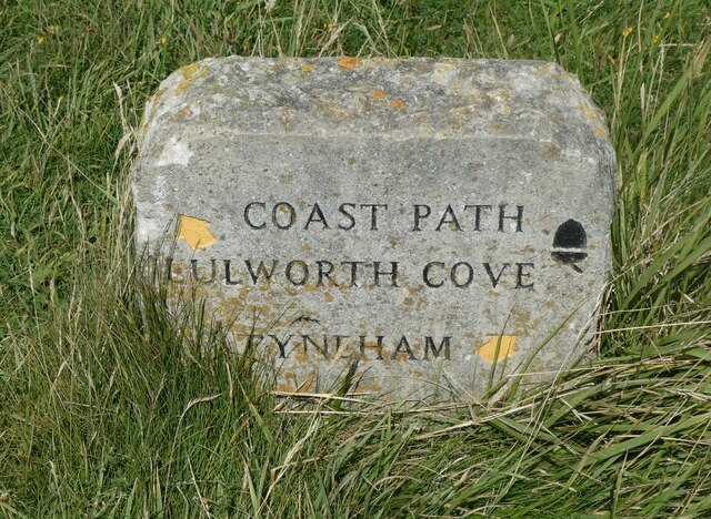
Tyneham

Tyneham is a ghost village abandoned in 1943 and former civil parish, now in the parish of Steeple with Tyneham, in the Dorset district, in the south of...

Povington Priory

Povington Priory was a Benedictine priory in Tyneham, Dorset, England. It was established as an alien priory of the Abbey of Bec. This term could mean...
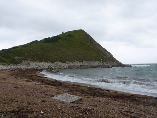
Tyneham Cap

Tyneham Cap is a prominent, grassy knoll, 167 metres (548 ft) high, on the South West Coast Path in Dorset, England. It rises above Brandy Bay and has...
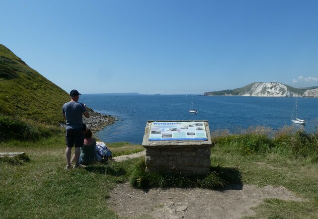
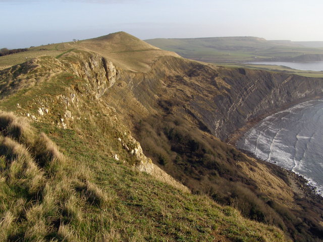
Gad Cliff

Gad Cliff is a south-facing cliff face, immediately to the east of Worbarrow Tout and Pondfield Cove, on the south coast of the Isle of Purbeck in Dorset...
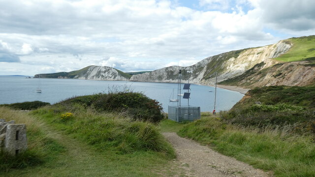
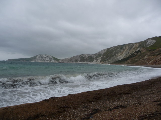
Brandy Bay, Dorset

Brandy Bay is a small secluded southwest-facing bay, with an oil shale and shingle beach immediately below Gad Cliff and Tyneham Cap, to the east of Worbarrow...

Hobarrow Bay

Hobarrow Bay is a small secluded southwest-facing bay, with an oil shale and shingle beach to the southeast of Brandy Bay and to the southwest of Kimmeridge...

Related Videos

Walking to Tyneham abandoned village and Warbarrow Bay, Dorset - April 2021

Brilliant day out with Ed walking down into Tyneham abandoned village and Warbarrow Bay on the Dorset Coast.

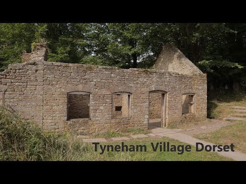
Tyneham village Dorset ~ Sept Holiday 2019 Vlog #1 Day #2

dorset #tynehamvillage #worbarrowbay #caravanningUKcommunity #placestovisitindorset #holidaysindorset We start our ...

TYNEHAM - the Dorset village lost to time

This week we are finding out about the story of Tyneham, a Dorset village which was vacated in the Second World War and has ...

The Eerie Village in a Time Warp: Tyneham | Dorset | WWII History for Kids

Tyneham, The Village Where Time Stood Still. The year is 1943. In the remote coastal village of Tyneham on the Jurassic Coast it ...

Nearby Amenities

Located within 500m of 50.624784,-2.1612088
Tyneham Range
Lat/Long: 50.6232113/-2.1579764
The data included in this document is from www.openstreetmap.org. The data is made available under ODbL.

Have you been to Long Copse?

Leave your review of Long Copse below (or comments, questions and feedback).