Mottram Wood
Wood, Forest in Cheshire
England
Mottram Wood
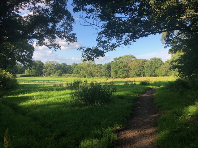
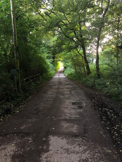
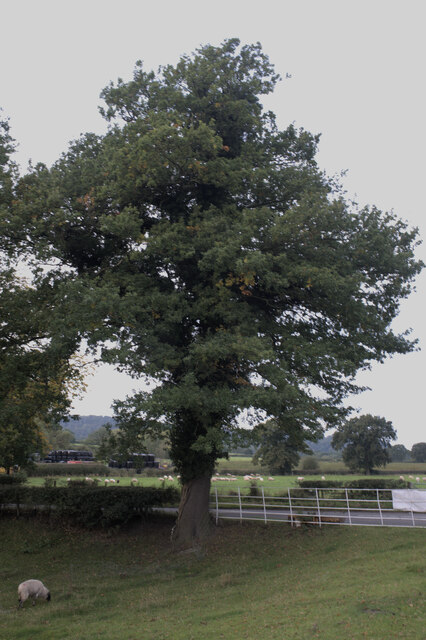
Mottram Wood is a picturesque woodland located in the county of Cheshire, England. Situated near the village of Mottram St Andrew, the wood covers an area of approximately 80 acres, providing a serene and tranquil escape from the bustling city life.
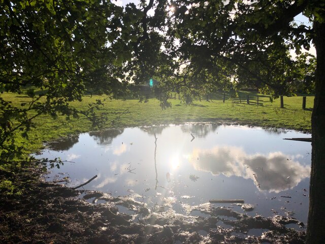
The wood is predominantly made up of broadleaf trees, including oak, birch, and beech, creating a dense canopy that offers shade and protection for a variety of wildlife species. The forest floor is covered in a rich carpet of moss, ferns, and wildflowers, providing a vibrant and diverse ecosystem.
Mottram Wood is a popular destination for nature lovers, hikers, and birdwatchers. The wood is home to a wide range of bird species, including woodpeckers, owls, and various songbirds. Visitors may also spot other wildlife such as squirrels, rabbits, and deer roaming freely amidst the trees.
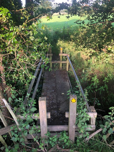
The wood is crisscrossed with well-maintained footpaths and trails, allowing visitors to explore the natural beauty at their own pace. There are also picnic areas and benches scattered throughout the wood, providing opportunities for relaxation and enjoying the peaceful surroundings.
Mottram Wood is a designated Site of Special Scientific Interest (SSSI), highlighting its importance in terms of biodiversity and conservation. The wood is carefully managed to maintain its natural habitat and ensure the preservation of its flora and fauna.
Overall, Mottram Wood offers a wonderful opportunity to escape into nature and enjoy the tranquility of a beautiful woodland setting. Whether it's a leisurely stroll or a more adventurous hike, visitors are sure to be enchanted by the peacefulness and natural beauty of Mottram Wood.
If you have any feedback on the listing, please let us know in the comments section below.
Mottram Wood Images
Images are sourced within 2km of 53.30843/-2.1711667 or Grid Reference SJ8879. Thanks to Geograph Open Source API. All images are credited.


Mottram Wood is located at Grid Ref: SJ8879 (Lat: 53.30843, Lng: -2.1711667)
Unitary Authority: Cheshire East
Police Authority: Cheshire
What 3 Words
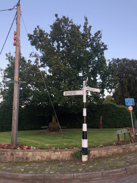
///galleries.collected.remove. Near Mottram St Andrew, Cheshire
Nearby Locations
Related Wikis
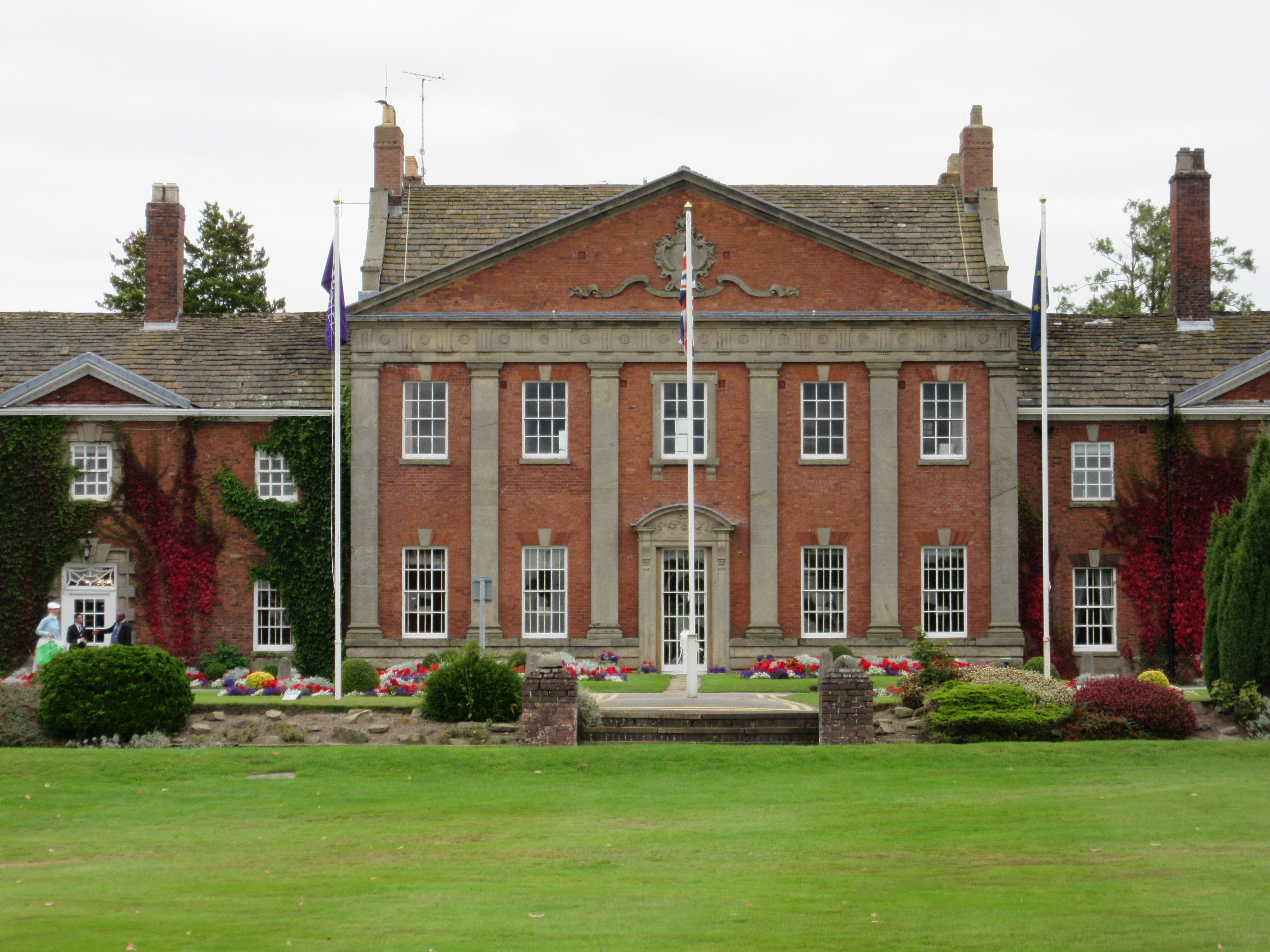
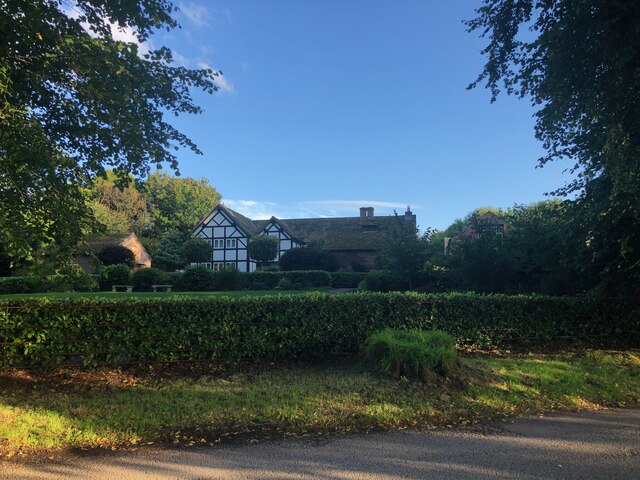
Mottram Hall
Mottram Hall (also known as Mottram New Hall or the Mottram Hall Hotel) is a former country house to the northeast of the village of Mottram St. Andrew...

Legh Hall
Legh Hall stands to the east of the village of Mottram St Andrew, Cheshire, England. It was built in the middle of the 18th century for William Brocklehurst...

Legh Old Hall
Legh Old Hall stands to the east of the village of Mottram St Andrew, Cheshire, England. It was built in the later part of the 16th century, with rebuilding...
Willot Hall
Willot Hall is a country house in the parish of Prestbury, some 4.5 km to the east of Wilmslow, Cheshire, England. It originated as a medieval hall house...
Nearby Amenities
Located within 500m of 53.30843,-2.1711667Have you been to Mottram Wood?
Leave your review of Mottram Wood below (or comments, questions and feedback).