Little Kennel Wood
Wood, Forest in Cheshire
England
Little Kennel Wood
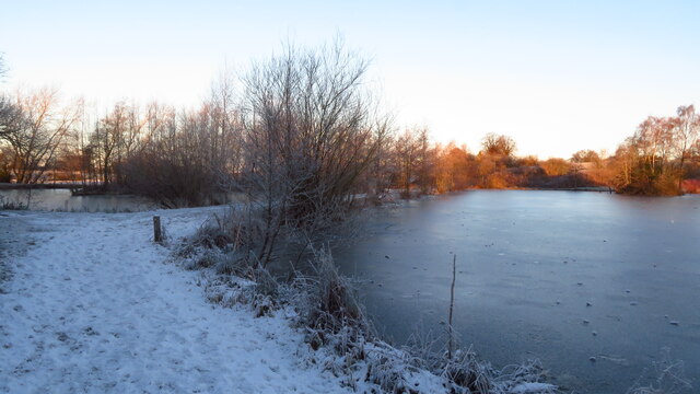
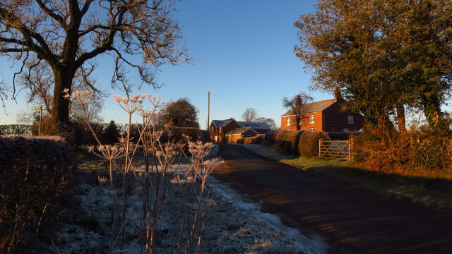
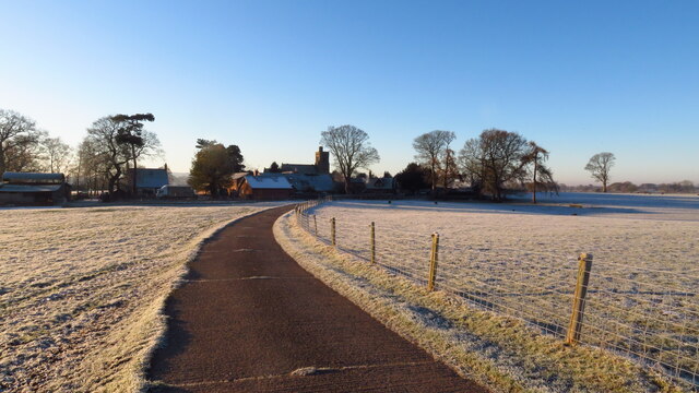
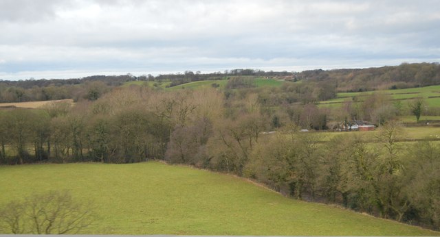
Little Kennel Wood is a charming woodland located in Cheshire, England. Covering an area of approximately 30 acres, this beautiful forest is a popular destination for nature lovers and outdoor enthusiasts. The wood is situated near the village of Little Budworth, just a short distance from the renowned Oulton Park race circuit.
The wood is predominantly composed of native broadleaf trees, including oak, beech, and birch, creating a diverse and vibrant ecosystem. The tree canopy provides a sheltered habitat for a variety of wildlife, including birds, squirrels, and deer, making it a haven for nature enthusiasts and birdwatchers.
Visitors can enjoy exploring the numerous footpaths and trails that wind through the woodland, offering breathtaking views of the surrounding countryside. The paths are well-maintained and suitable for walkers of all abilities. Little Kennel Wood is also a popular spot for picnicking, with several designated picnic areas scattered throughout the forest.
The wood is managed by the Forestry Commission, ensuring its preservation and the continued protection of its wildlife. It is open to the public year-round, with free admission, making it an accessible destination for families and individuals seeking a peaceful and picturesque escape from the hustle and bustle of daily life.
Little Kennel Wood in Cheshire offers a tranquil and enchanting setting, where visitors can immerse themselves in the beauty of nature and enjoy the serenity of the forest.
If you have any feedback on the listing, please let us know in the comments section below.
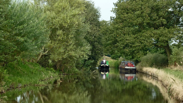
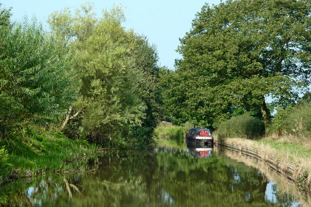
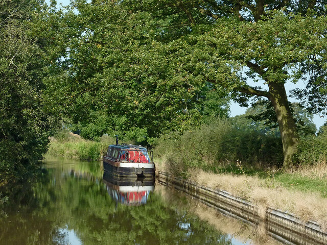
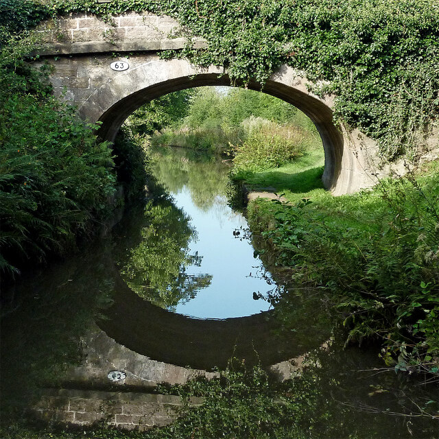
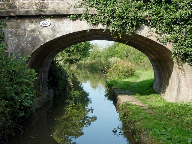
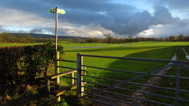
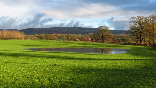
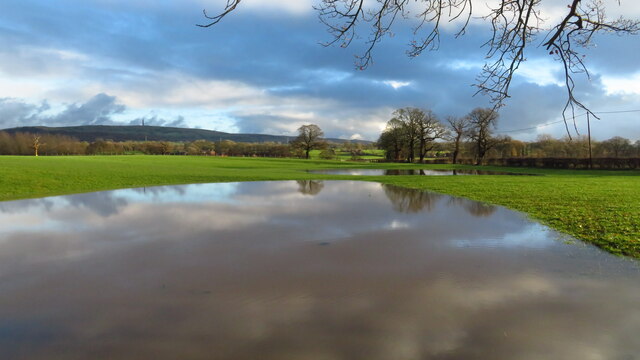
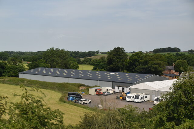
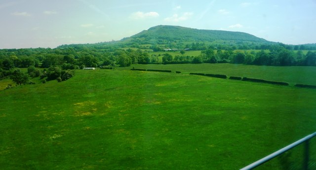
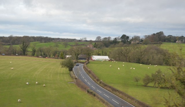
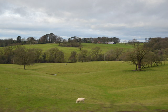
Little Kennel Wood Images
Images are sourced within 2km of 53.201122/-2.1710526 or Grid Reference SJ8867. Thanks to Geograph Open Source API. All images are credited.

Little Kennel Wood is located at Grid Ref: SJ8867 (Lat: 53.201122, Lng: -2.1710526)
Unitary Authority: Cheshire East
Police Authority: Cheshire
What 3 Words
///flattery.seated.ships. Near Eaton, Cheshire
Nearby Locations
Related Wikis
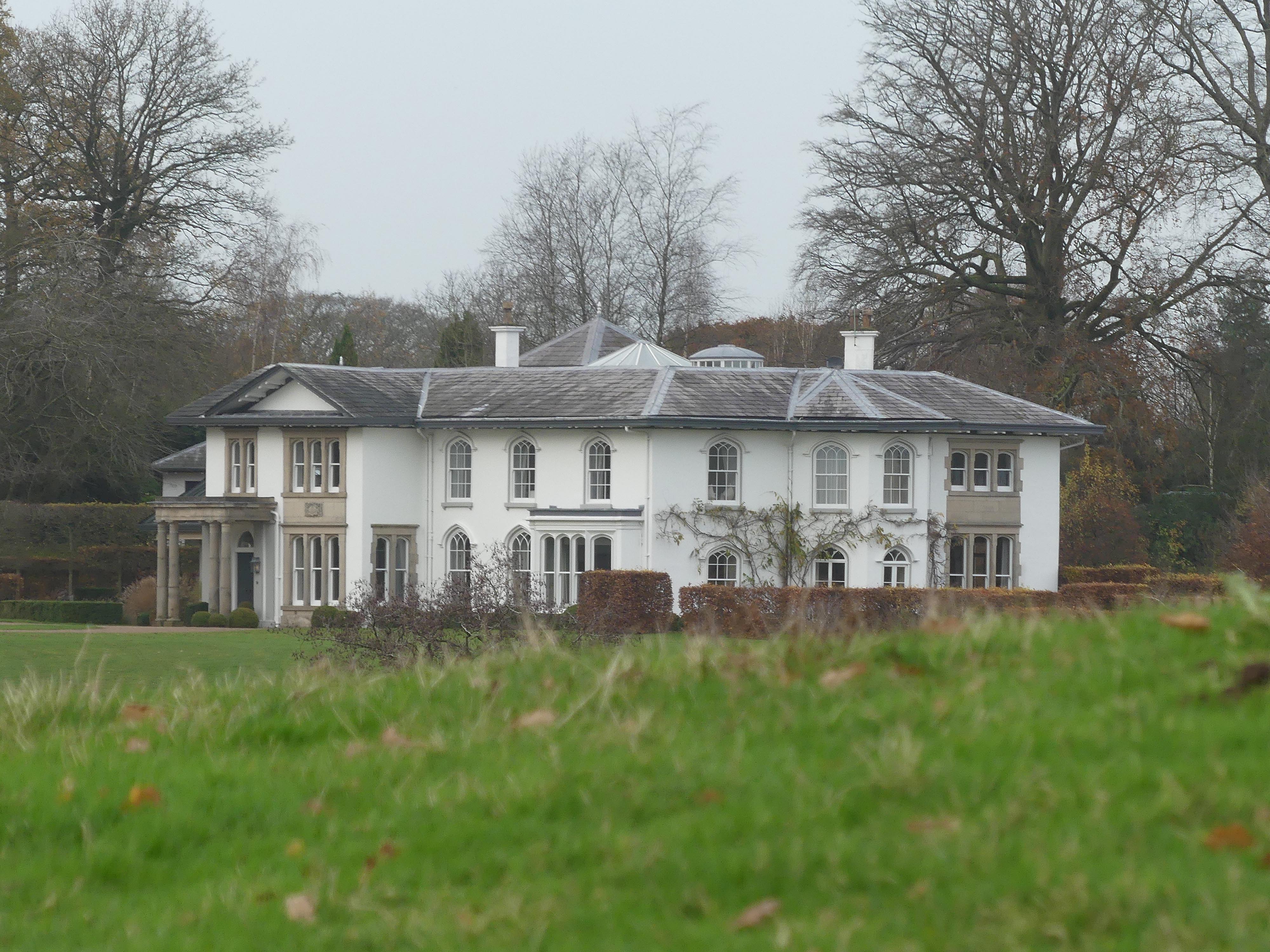
North Rode Manor
North Rode Manor is a country house standing to the north of the village of North Rode, Cheshire, England. The house was built between 1838 and 1840 for...

St Michael's Church, North Rode
St Michael's Church is in Church Lane, North Rode, Cheshire, England. It is an active Anglican parish church in the deanery of Macclesfield, the archdeaconry...

North Rode
North Rode is a small village and civil parish in the unitary authority of Cheshire East and the ceremonial county of Cheshire, England. According to the...

North Rode railway station
North Rode railway station originally North Rode junction served the village of North Rode, Cheshire. The station was opened by the North Staffordshire...

Gawsworth
Gawsworth is a civil parish and village in the unitary authority of Cheshire East and the ceremonial county of Cheshire, England. The population of the...

Bosley Lock Flight
Bosley Lock Flight (grid reference SJ904662) is a flight of twelve canal locks, situated on the Macclesfield Canal at Bosley, near Macclesfield, Cheshire...

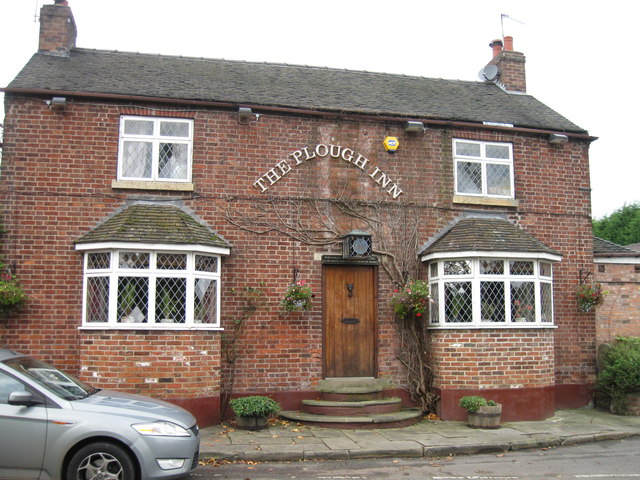
Harrington Arms, Gawsworth
The Harrington Arms is in Church Lane, Gawsworth, Cheshire, England, and is recorded in the National Heritage List for England as a designated Grade II...
Eaton, Cheshire East
Eaton is a village and civil parish in the unitary authority of Cheshire East and the ceremonial county of Cheshire, England. According to the 2001 census...
Nearby Amenities
Located within 500m of 53.201122,-2.1710526Have you been to Little Kennel Wood?
Leave your review of Little Kennel Wood below (or comments, questions and feedback).