Farsidegreen Wood
Wood, Forest in Cheshire
England
Farsidegreen Wood
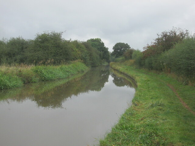
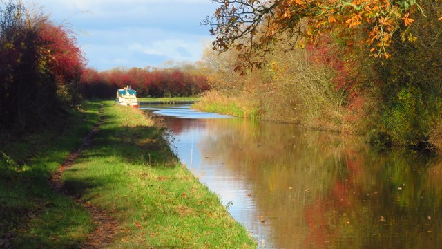
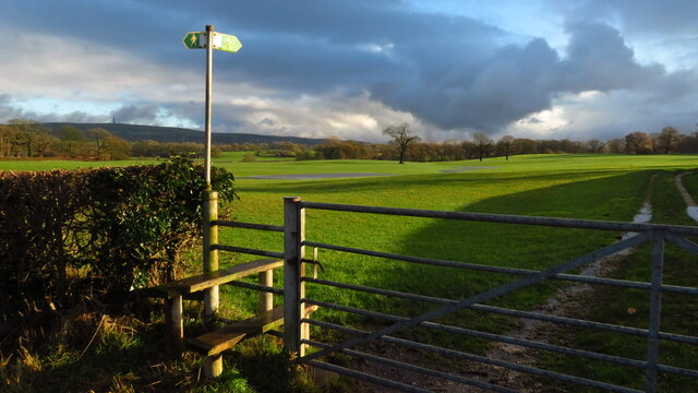
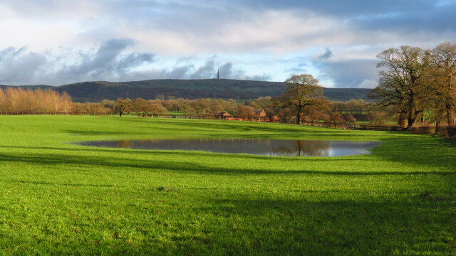
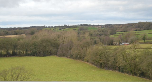
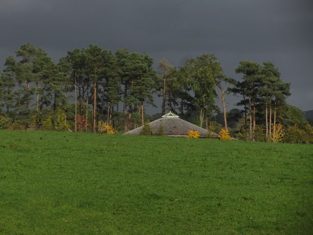
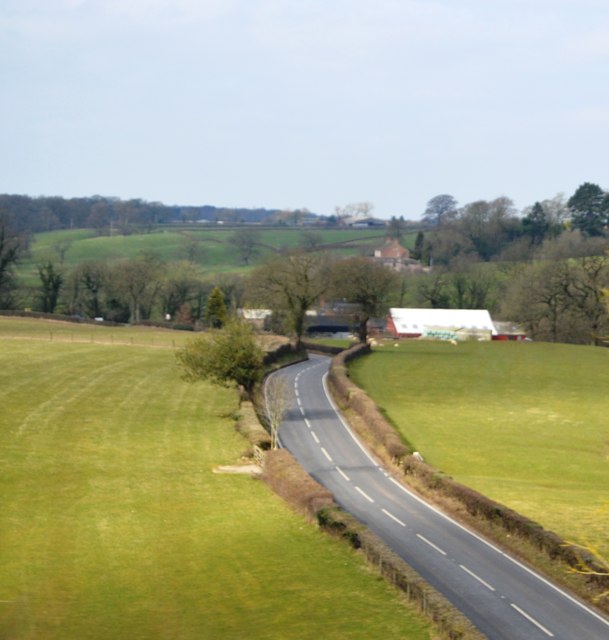
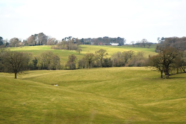
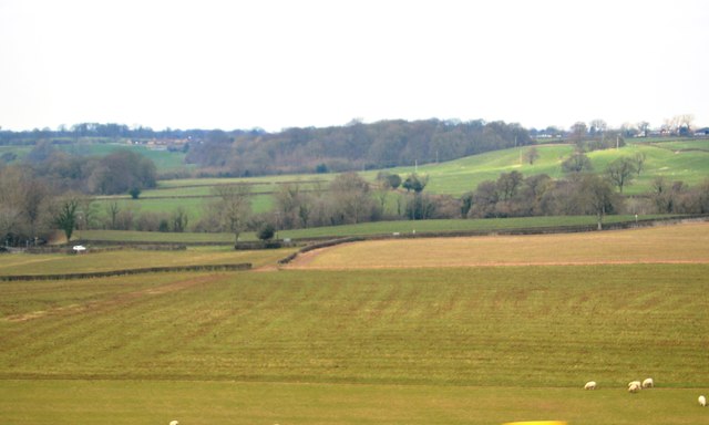
Farsidegreen Wood is a picturesque woodland located in the county of Cheshire, England. Situated in the heart of the countryside, this woodland is renowned for its natural beauty and diverse wildlife. Spanning over a vast area, the wood is a popular destination for nature enthusiasts, hikers, and photographers.
The woodland is characterized by its dense canopy of trees, which primarily consists of oak, beech, and birch. These towering trees create a serene and tranquil atmosphere, providing shade and shelter to the various species of flora and fauna that call Farsidegreen Wood their home.
Wildflowers and ferns can be found scattered throughout the forest floor, adding splashes of color to the green landscape. The wood is also home to a variety of bird species, including woodpeckers, owls, and buzzards. It is not uncommon to spot squirrels, rabbits, and deer roaming freely within the wood, adding to the enchanting ambience of the area.
Visitors to Farsidegreen Wood can enjoy a network of well-maintained walking trails that wind through the woodland. These trails provide the perfect opportunity to explore the beauty of the wood, allowing visitors to immerse themselves in nature and escape the hustle and bustle of everyday life. The wood is open to the public year-round, providing a different experience with each season.
Overall, Farsidegreen Wood is a captivating destination for those seeking to reconnect with nature. Its natural beauty, diverse wildlife, and peaceful ambiance make it a truly idyllic woodland in the heart of Cheshire.
If you have any feedback on the listing, please let us know in the comments section below.
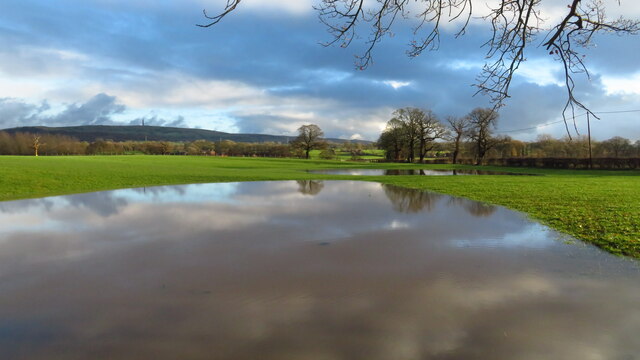
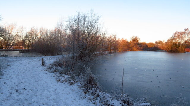
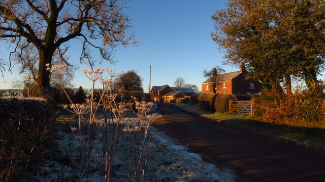
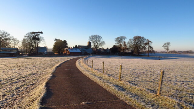
Farsidegreen Wood Images
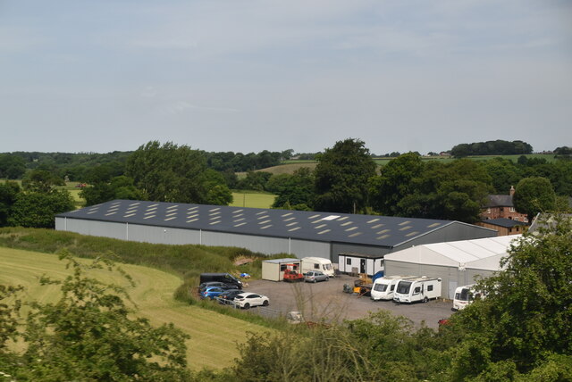
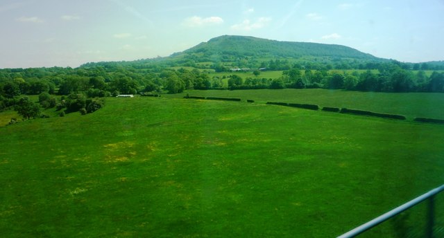
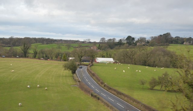
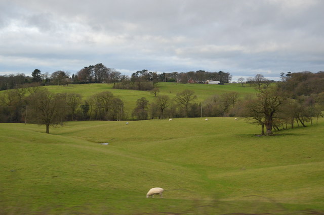
Images are sourced within 2km of 53.202096/-2.168766 or Grid Reference SJ8867. Thanks to Geograph Open Source API. All images are credited.

Farsidegreen Wood is located at Grid Ref: SJ8867 (Lat: 53.202096, Lng: -2.168766)
Unitary Authority: Cheshire East
Police Authority: Cheshire
What 3 Words
///host.chill.afraid. Near Eaton, Cheshire
Nearby Locations
Related Wikis
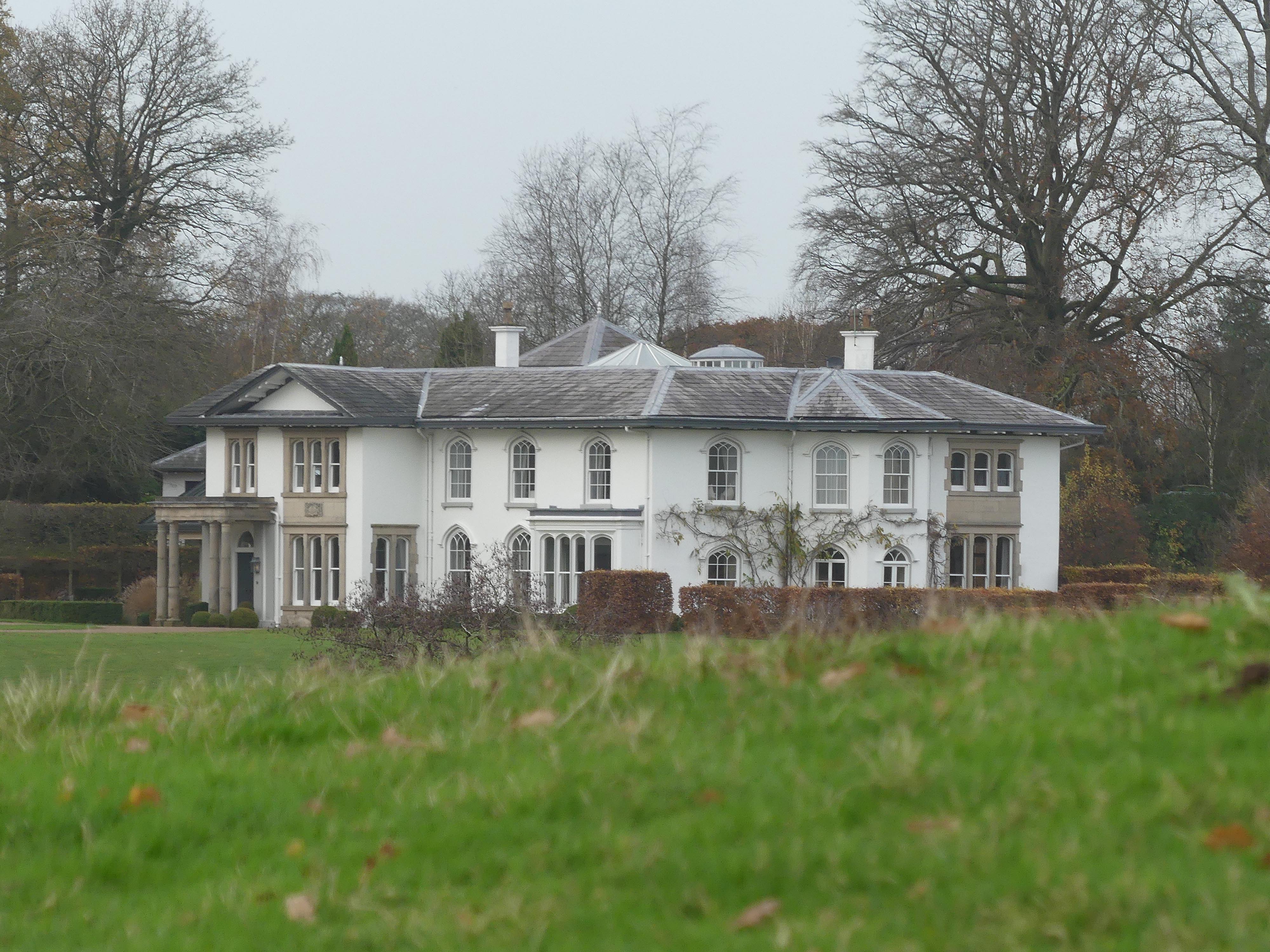
North Rode Manor
North Rode Manor is a country house standing to the north of the village of North Rode, Cheshire, England. The house was built between 1838 and 1840 for...

St Michael's Church, North Rode
St Michael's Church is in Church Lane, North Rode, Cheshire, England. It is an active Anglican parish church in the deanery of Macclesfield, the archdeaconry...

North Rode
North Rode is a small village and civil parish in the unitary authority of Cheshire East and the ceremonial county of Cheshire, England. According to the...

North Rode railway station
North Rode railway station originally North Rode junction served the village of North Rode, Cheshire. The station was opened by the North Staffordshire...
Nearby Amenities
Located within 500m of 53.202096,-2.168766Have you been to Farsidegreen Wood?
Leave your review of Farsidegreen Wood below (or comments, questions and feedback).