Beancroft Wood
Wood, Forest in Cheshire
England
Beancroft Wood
Beancroft Wood is a picturesque forest located in the county of Cheshire, England. Covering an area of approximately 100 acres, this wood is a popular destination for nature lovers and outdoor enthusiasts. The wood is situated near the village of Beancroft, providing easy access for visitors.
The woodland is predominantly composed of deciduous trees, including oak, beech, and birch. These trees create a dense canopy, providing shade and creating a tranquil atmosphere for visitors. The forest floor is covered in a thick layer of fallen leaves, creating a distinctive crunch underfoot during autumn.
Beancroft Wood is home to a diverse range of wildlife. The trees provide nesting sites for various bird species such as great tits, blue tits, and woodpeckers. Visitors may also spot mammals like squirrels, rabbits, and even the occasional deer.
Several well-maintained trails wind through the wood, allowing visitors to explore its beauty at their own pace. These paths are suitable for both walking and cycling, offering a variety of routes for different abilities. Along the trails, benches and picnic areas are strategically placed, providing opportunities for relaxation and enjoying the surroundings.
The wood also features a small pond, which serves as a habitat for amphibians and aquatic insects. The pond attracts a variety of bird species, making it an excellent spot for birdwatching.
Overall, Beancroft Wood is a delightful natural retreat that offers a peaceful environment, beautiful scenery, and abundant wildlife. It is a must-visit destination for anyone seeking a tranquil escape in the heart of Cheshire.
If you have any feedback on the listing, please let us know in the comments section below.
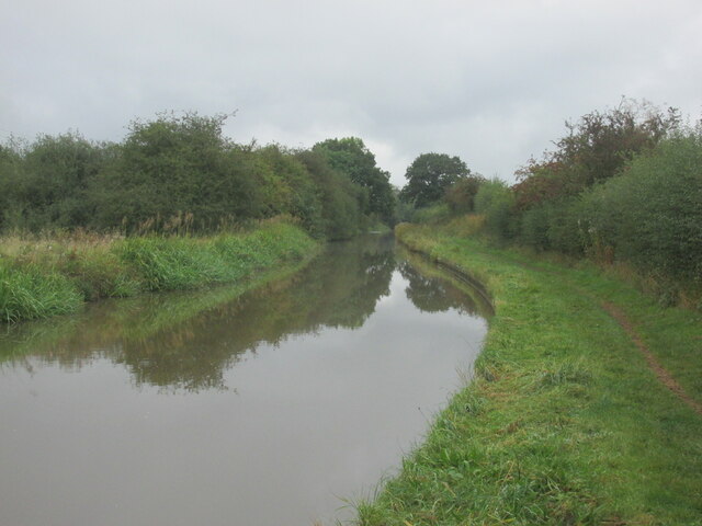
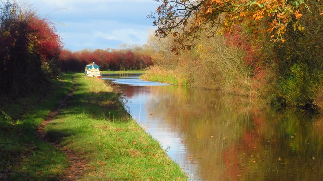
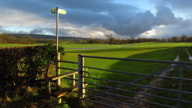
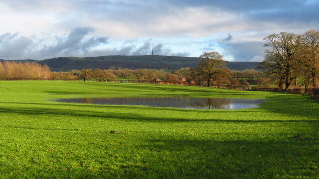
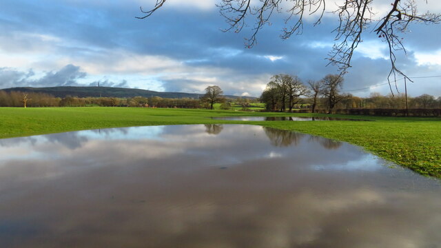
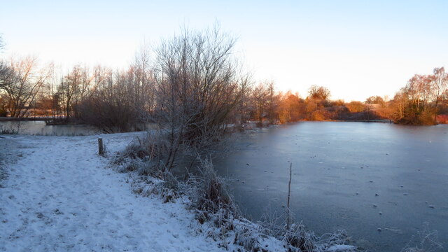
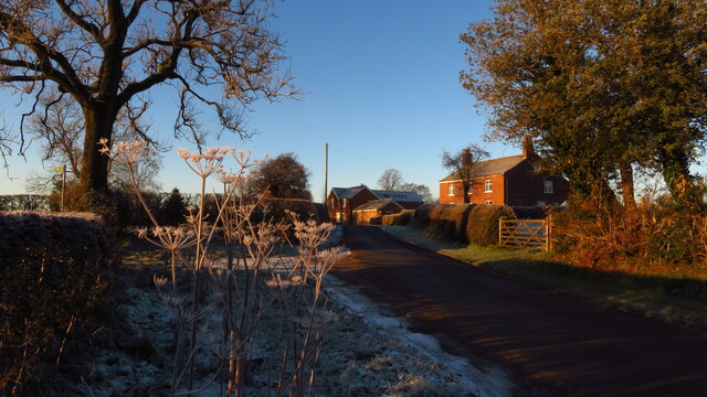
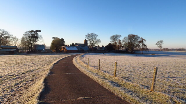
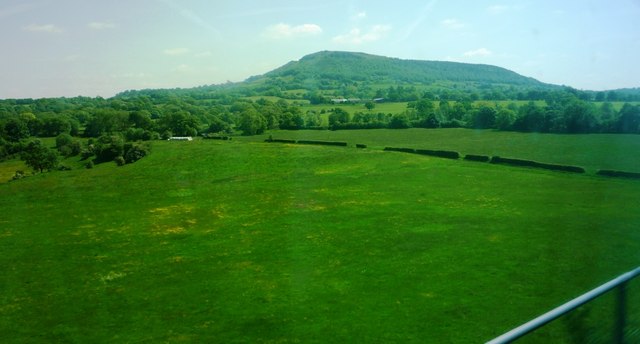
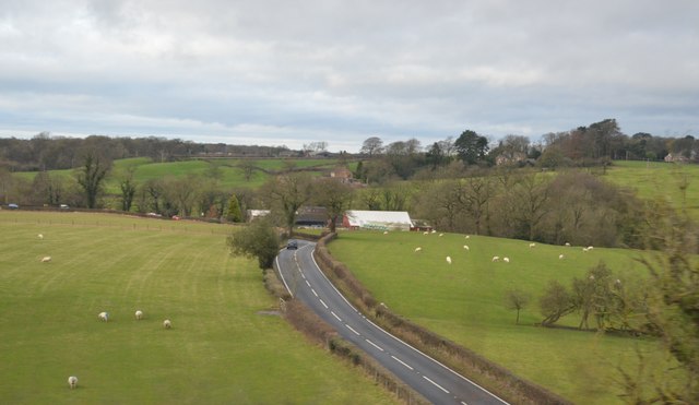
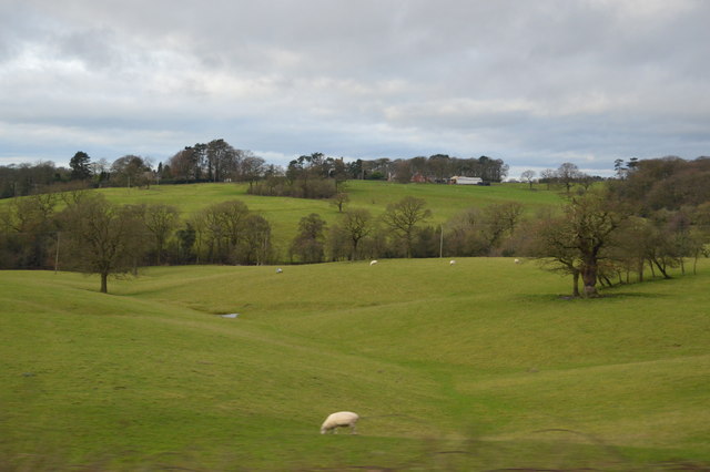
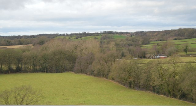
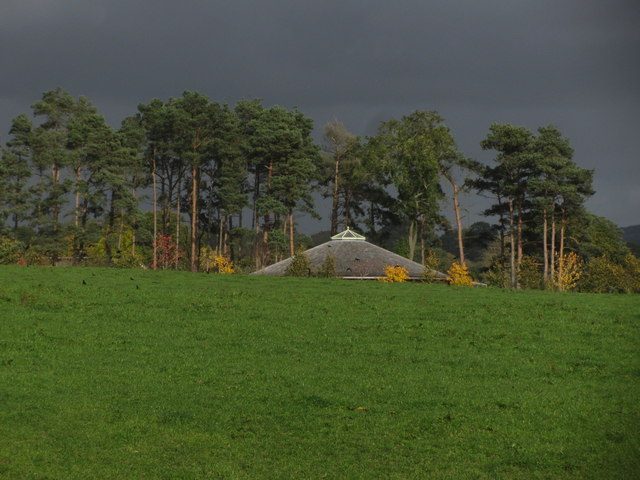
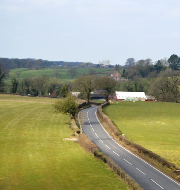
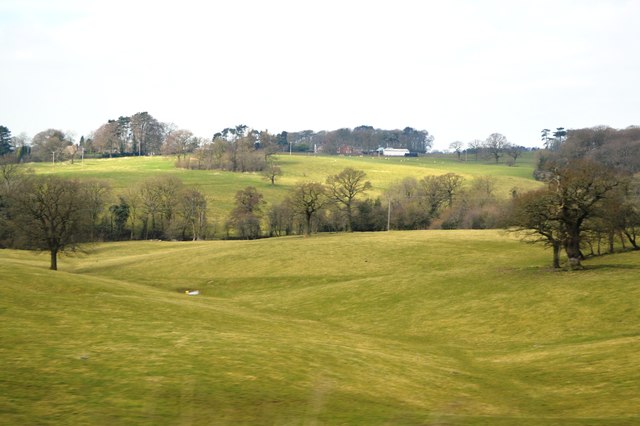
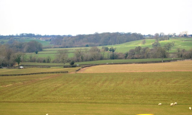
Beancroft Wood Images
Images are sourced within 2km of 53.203349/-2.16669 or Grid Reference SJ8867. Thanks to Geograph Open Source API. All images are credited.


Beancroft Wood is located at Grid Ref: SJ8867 (Lat: 53.203349, Lng: -2.16669)
Unitary Authority: Cheshire East
Police Authority: Cheshire
What 3 Words
///encoding.irony.stays. Near Eaton, Cheshire
Nearby Locations
Related Wikis
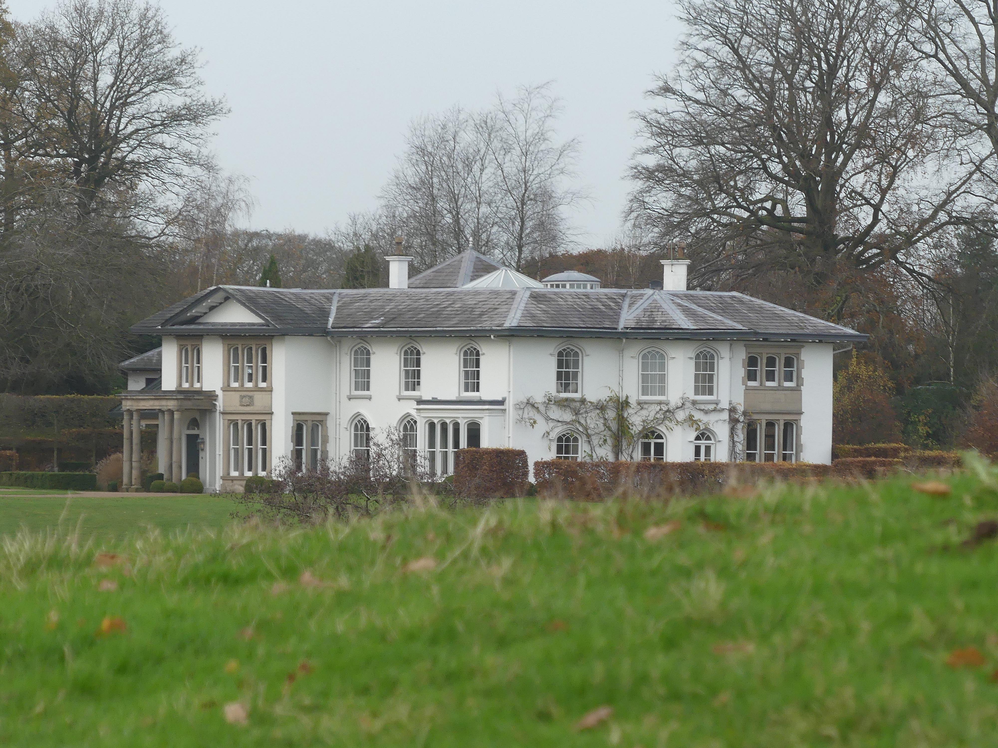
North Rode Manor
North Rode Manor is a country house standing to the north of the village of North Rode, Cheshire, England. The house was built between 1838 and 1840 for...

North Rode
North Rode is a small village and civil parish in the unitary authority of Cheshire East and the ceremonial county of Cheshire, England. According to the...

St Michael's Church, North Rode
St Michael's Church is in Church Lane, North Rode, Cheshire, England. It is an active Anglican parish church in the deanery of Macclesfield, the archdeaconry...

North Rode railway station
North Rode railway station originally North Rode junction served the village of North Rode, Cheshire. The station was opened by the North Staffordshire...

Gawsworth
Gawsworth is a civil parish and village in the unitary authority of Cheshire East and the ceremonial county of Cheshire, England. The population of the...

Bosley Lock Flight
Bosley Lock Flight (grid reference SJ904662) is a flight of twelve canal locks, situated on the Macclesfield Canal at Bosley, near Macclesfield, Cheshire...

Harrington Arms, Gawsworth
The Harrington Arms is in Church Lane, Gawsworth, Cheshire, England, and is recorded in the National Heritage List for England as a designated Grade II...
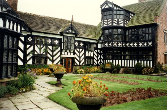
Gawsworth Old Hall
Gawsworth Old Hall is a Grade I listed country house in the village of Gawsworth, Cheshire, England. It is a timber-framed house in the Cheshire black...
Related Videos

Ultreia Mancunia St James’ Day Walk 2022
We visited 4 St James churches in the Peak District in order to celebrate the feast of St James the Apostle (25th July). Great day ...

Timelapse travel across the proposed development area
The proposed development area is so big at 55ha we needed to make a timelapse video to show it in all it's glory with it's myriad ...

Walking around the 2023 Gawsworth Hall classic car show!
Recently the magnificent Gawsworth Hall hosted their 2023 classic car show, which I will explore in this video. Possibly my ...

Nearby Amenities
Located within 500m of 53.203349,-2.16669Have you been to Beancroft Wood?
Leave your review of Beancroft Wood below (or comments, questions and feedback).