Creswell Wood
Wood, Forest in Staffordshire Stafford
England
Creswell Wood
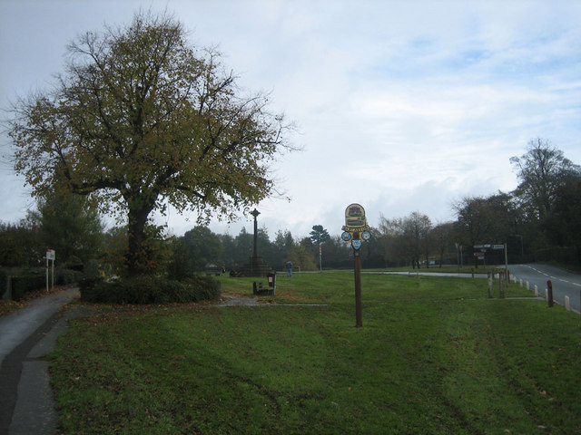
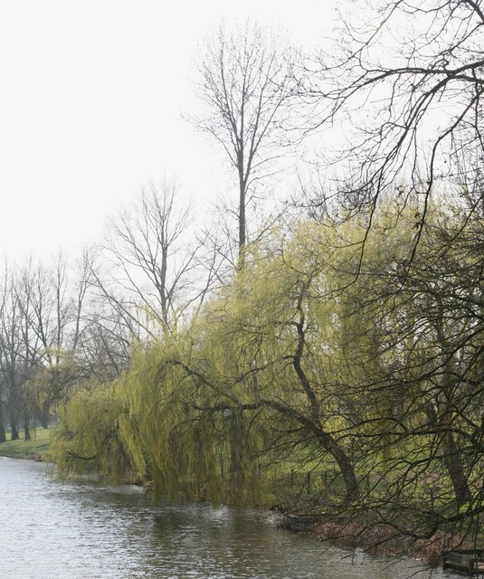
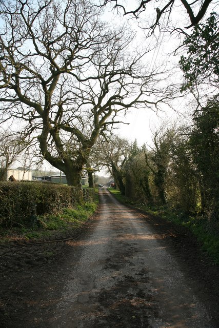
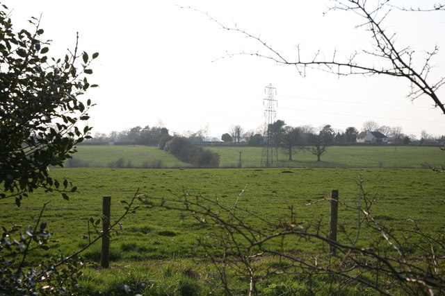
Creswell Wood is a picturesque forest located in the county of Staffordshire, England. Spanning over an area of approximately 500 acres, this woodland is known for its diverse range of flora and fauna, making it a popular destination for nature enthusiasts and hikers alike.
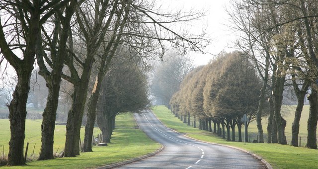
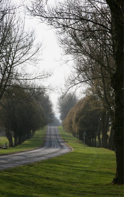
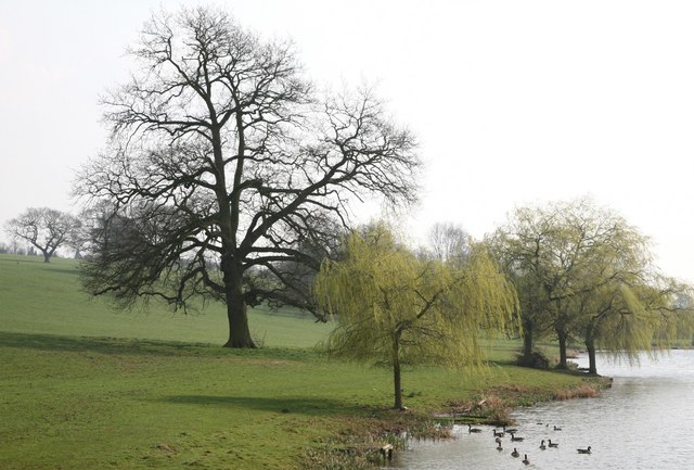
The wood is primarily composed of deciduous trees, including oak, beech, and birch, creating a vibrant tapestry of colors throughout the changing seasons. The forest floor is carpeted with ferns, wildflowers, and mosses, adding to the natural beauty of the surroundings.
Creswell Wood is home to a variety of wildlife species, providing a valuable habitat for mammals such as deer, foxes, and badgers. Birdwatchers can spot a range of avian species, including woodpeckers, owls, and various songbirds.
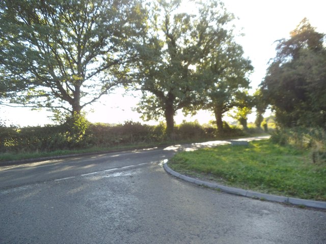
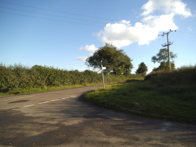
The woodland offers a network of well-maintained footpaths and trails, allowing visitors to explore the area on foot or by bike. These paths lead to scenic viewpoints, hidden clearings, and tranquil streams, providing ample opportunities for relaxation and contemplation.
In addition to its natural charm, Creswell Wood has historical significance as well. It is rumored to have been a hunting ground for the ancient kings of Mercia, and remnants of ancient earthworks can still be found within the forest.
Overall, Creswell Wood offers a serene and enchanting escape from the hustle and bustle of everyday life. Its rich biodiversity and tranquil atmosphere make it a must-visit destination for those seeking a connection with nature in the heart of Staffordshire.
If you have any feedback on the listing, please let us know in the comments section below.
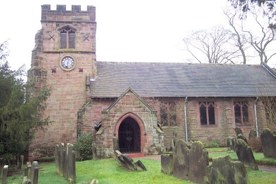
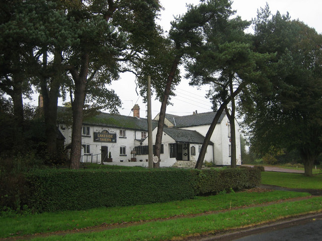
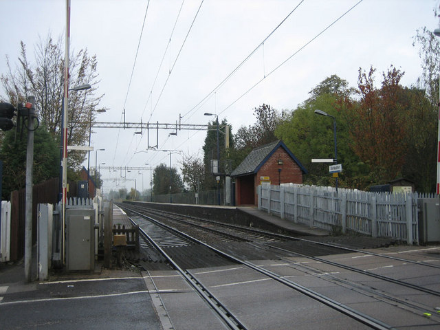
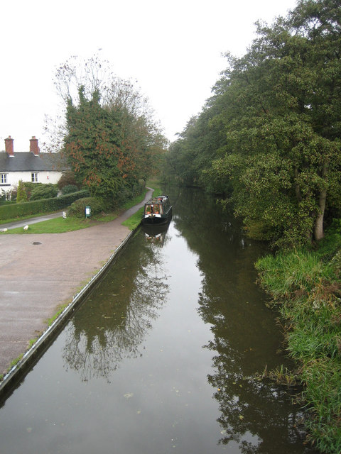
Creswell Wood Images
Images are sourced within 2km of 52.950047/-2.1656981 or Grid Reference SJ8839. Thanks to Geograph Open Source API. All images are credited.
Creswell Wood is located at Grid Ref: SJ8839 (Lat: 52.950047, Lng: -2.1656981)
Administrative County: Staffordshire
District: Stafford
Police Authority: Staffordshire
What 3 Words
///sentences.keep.spit. Near Barlaston, Staffordshire
Nearby Locations
Related Wikis
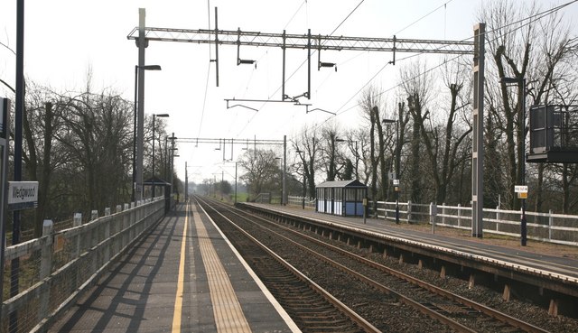
Wedgwood railway station
Wedgwood railway station served the Wedgwood complex in Barlaston, Staffordshire, England. Although the station is not officially closed, there has been...
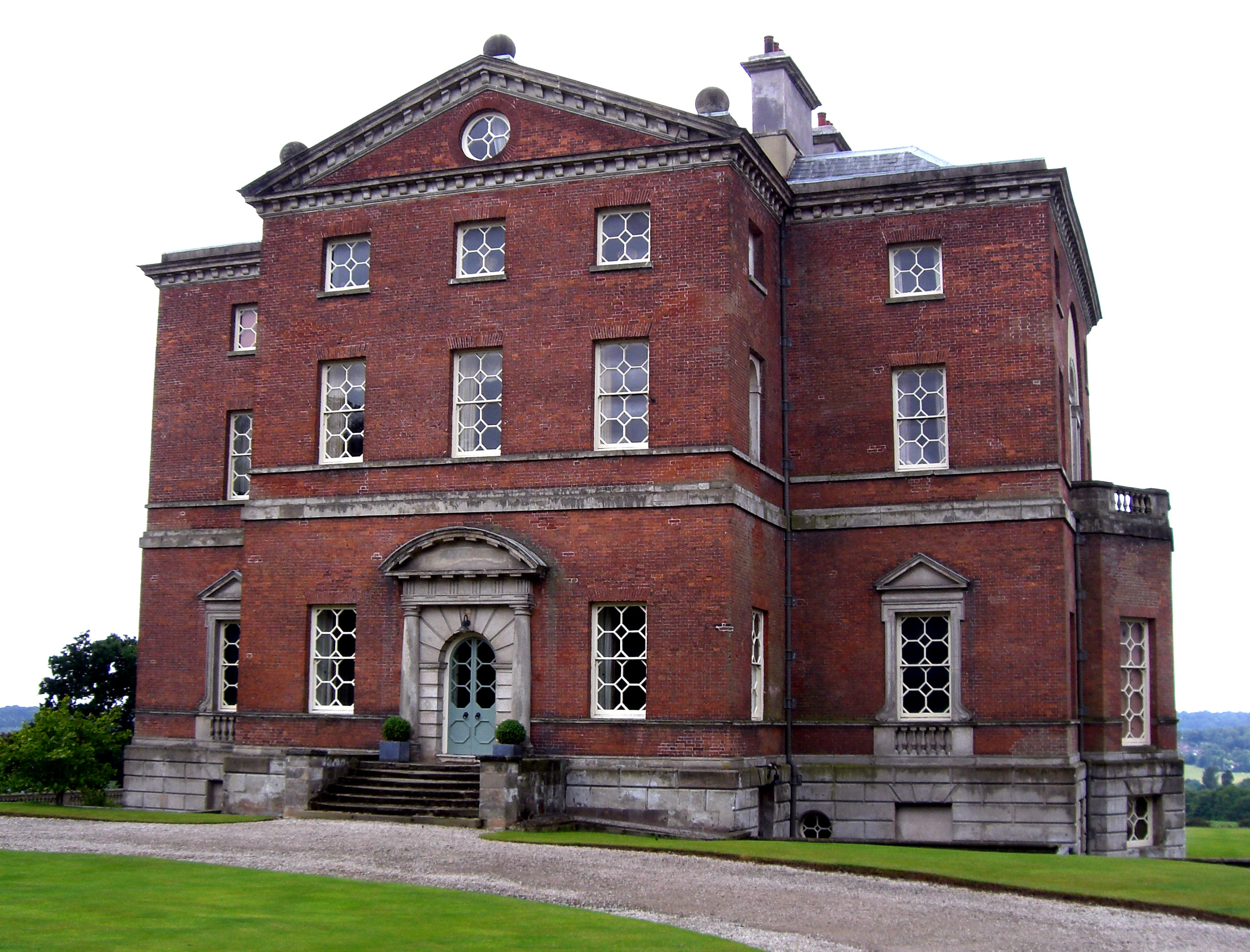
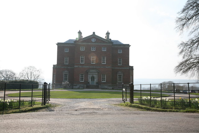
Barlaston Hall
Barlaston Hall is an English Palladian country house in the village of Barlaston in Staffordshire, on a ridge overlooking the valley of the River Trent...
Barlaston
Barlaston is a village and civil parish in the borough of Stafford in the county of Staffordshire, England. It is roughly halfway between the city of...

Wedgwood Memorial College
Wedgwood Memorial College was a small residential college in Barlaston, near Stoke-on-Trent in Staffordshire, England. The college was owned and operated...

Barlaston railway station
Barlaston railway station served the village of Barlaston in Staffordshire, England. This station was opened on 17 April 1848 and is on the first line...

Hem Heath Woods
Hem Heath Woods is a nature reserve of the Staffordshire Wildlife Trust. It is on the southern fringe of Stoke-on-Trent, England. Its northern boundary...
Hem Heath
Hem Heath is a district of Stoke-on-Trent just south of the Bet365 Stadium. The nature reserve Hem Heath Woods is nearby.

Tittensor
Tittensor village is located in Staffordshire, England, between Newcastle-under-Lyme and Stone. The population as taken at the 2011 census can be found...
Nearby Amenities
Located within 500m of 52.950047,-2.1656981Have you been to Creswell Wood?
Leave your review of Creswell Wood below (or comments, questions and feedback).