Alderflat
Wood, Forest in Staffordshire
England
Alderflat
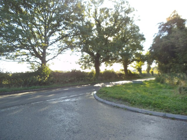
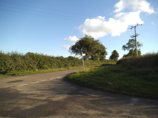
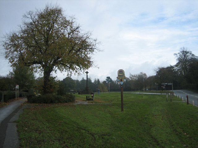
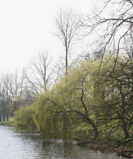
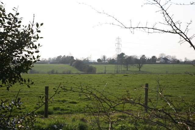
Alderflat, located in the county of Staffordshire, England, is a picturesque wood and forest area that offers stunning natural beauty and a tranquil escape from the hustle and bustle of city life. Covering an expansive area, Alderflat is a haven for nature enthusiasts, hikers, and those seeking solitude in a serene environment.
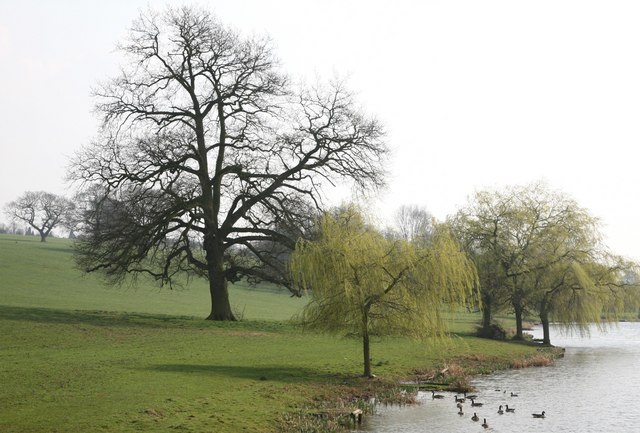
The woodland is primarily composed of alder trees, which lend their name to the area. These tall, slender trees create a dense canopy, providing shade and shelter for a diverse range of flora and fauna. The forest floor is adorned with a carpet of wildflowers, adding vibrant splashes of color to the landscape.
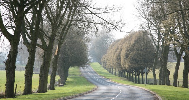
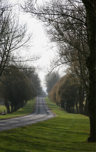
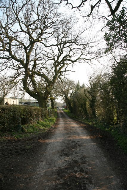
Several well-marked trails wind their way through Alderflat, allowing visitors to explore the woodlands at their own pace. These paths provide access to hidden gems within the forest, including babbling brooks, ancient ruins, and tranquil ponds. Birdwatchers will delight in the variety of avian species that call this area home, while nature photographers will find themselves captivated by the enchanting scenery.
In addition to its natural wonders, Alderflat is also home to a small visitor center, where visitors can obtain maps and information about the area. The center offers educational exhibits on the local flora and fauna and hosts occasional workshops and guided walks led by experienced naturalists.
Alderflat, Staffordshire, is a true gem for nature lovers, providing a serene and captivating environment that showcases the beauty of the English countryside. Whether you seek a peaceful walk, wildlife spotting, or simply a place to connect with nature, Alderflat offers a genuinely enchanting experience.
If you have any feedback on the listing, please let us know in the comments section below.
Alderflat Images
Images are sourced within 2km of 52.953052/-2.1702791 or Grid Reference SJ8839. Thanks to Geograph Open Source API. All images are credited.

Alderflat is located at Grid Ref: SJ8839 (Lat: 52.953052, Lng: -2.1702791)
Unitary Authority: Stoke-on-Trent
Police Authority: Staffordshire
What 3 Words
///reach.chin.dots. Near Barlaston, Staffordshire
Nearby Locations
Related Wikis
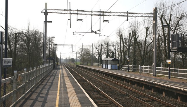
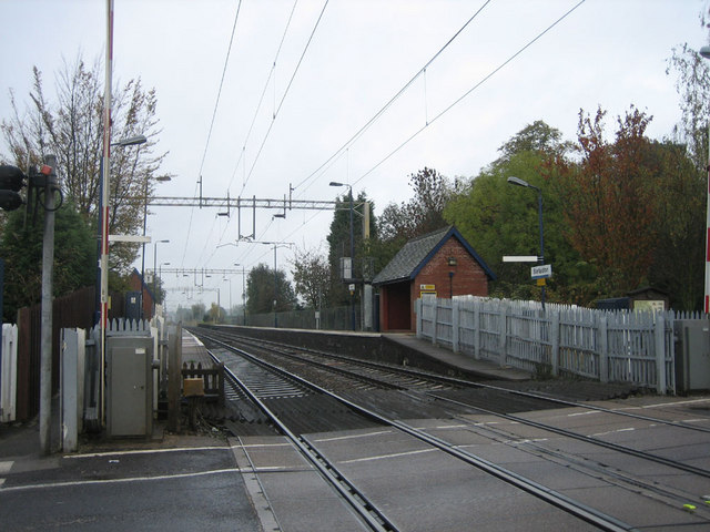
Wedgwood railway station
Wedgwood railway station served the Wedgwood complex in Barlaston, Staffordshire, England. Although the station is not officially closed, there has been...
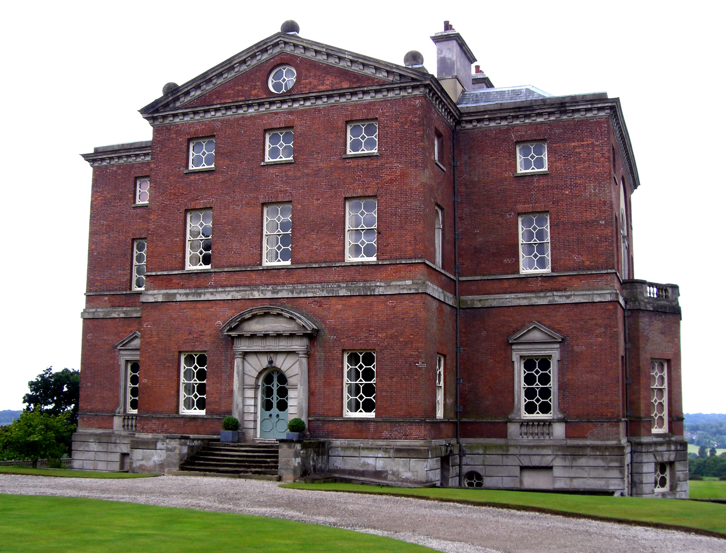
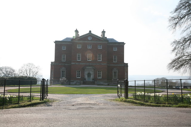
Barlaston Hall
Barlaston Hall is an English Palladian country house in the village of Barlaston in Staffordshire, on a ridge overlooking the valley of the River Trent...

Hem Heath
Hem Heath is a district of Stoke-on-Trent just south of the Bet365 Stadium. The nature reserve Hem Heath Woods is nearby.

Hem Heath Woods
Hem Heath Woods is a nature reserve of the Staffordshire Wildlife Trust. It is on the southern fringe of Stoke-on-Trent, England. Its northern boundary...

Barlaston railway station
Barlaston railway station served the village of Barlaston in Staffordshire, England. This station was opened on 17 April 1848 and is on the first line...
Barlaston
Barlaston is a village and civil parish in the borough of Stafford in the county of Staffordshire, England. It is roughly halfway between the city of...
Wedgwood Memorial College
Wedgwood Memorial College was a small residential college in Barlaston, near Stoke-on-Trent in Staffordshire, England. The college was owned and operated...
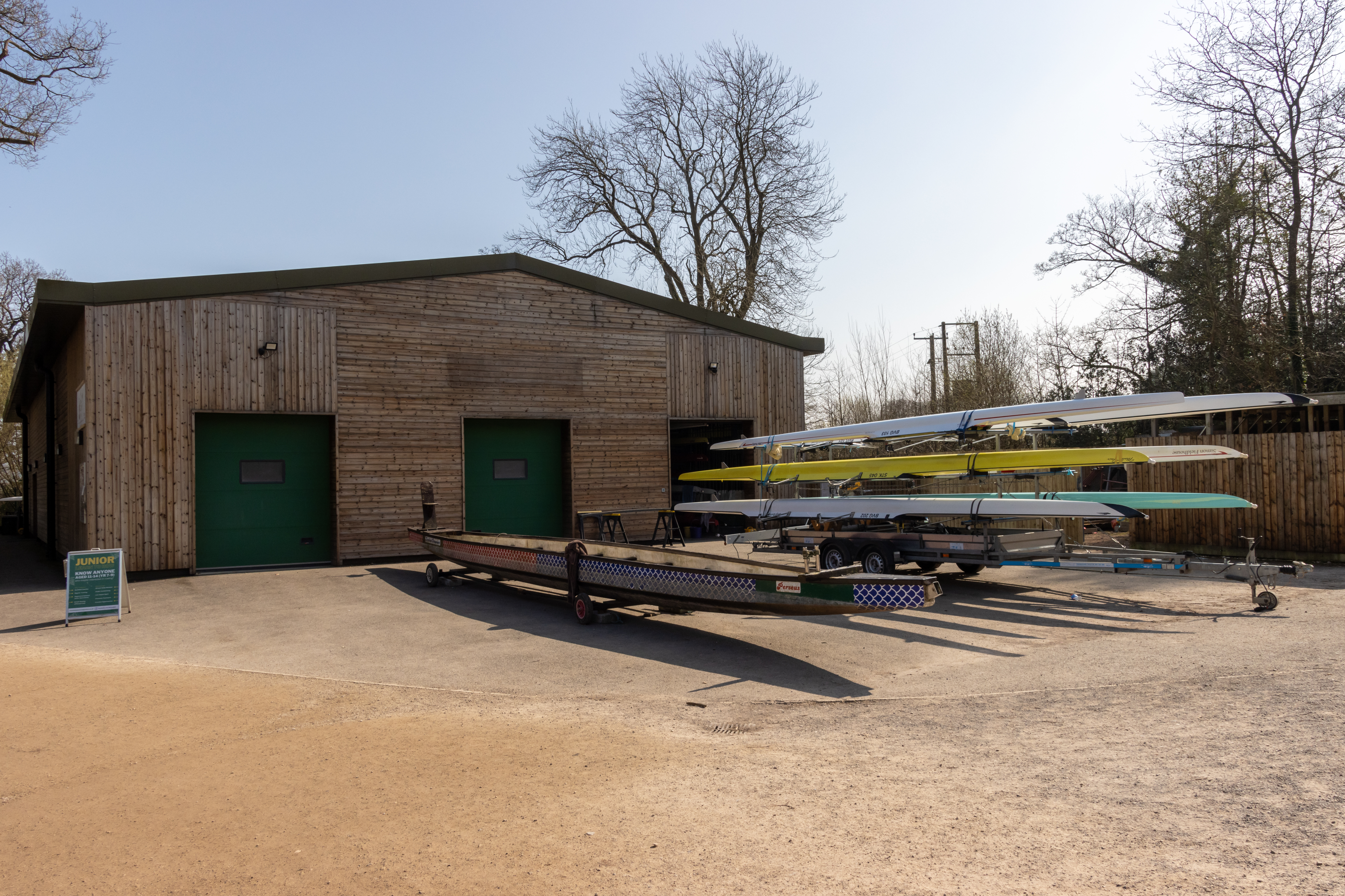
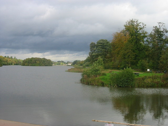
Trentham Boat Club
Trentham Boat Club is a rowing club based on Trentham Lake next to the River Trent, at Trentham Gardens Estate, Stone Road, Trentham, Stoke-on-Trent, Staffordshire...
Nearby Amenities
Located within 500m of 52.953052,-2.1702791Have you been to Alderflat?
Leave your review of Alderflat below (or comments, questions and feedback).