Glendue Wood

Wood, Forest in Northumberland

England

Glendue Wood

The valley of the River South Tyne around Fourstones Photo taken from the path on the western side of Warden Hill in <a href="https://www.geograph.org.uk/gridref/NY9067">NY9067</a>.
The valley of the River South Tyne around Fourstones Credit: Mike Quinn

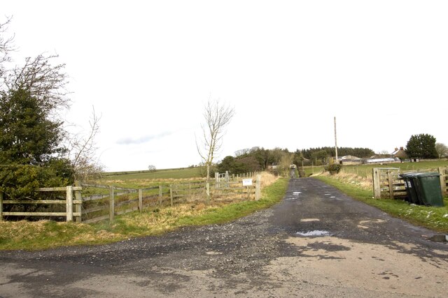
Glendue Wood is a picturesque woodland located in Northumberland, England. Stretching across an expansive area, this enchanting forest offers a haven of tranquility and natural beauty for visitors to explore and enjoy.

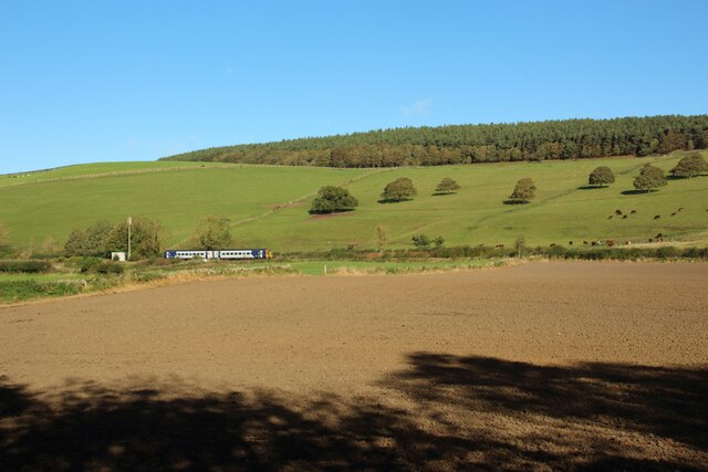
The wood is characterized by its diverse range of tree species, including oak, beech, and birch. These majestic trees create a lush canopy that provides shade and shelter for the various wildlife that call Glendue Wood their home. The forest floor is carpeted with a rich layer of moss, ferns, and wildflowers, adding to the overall charm of the woodland.

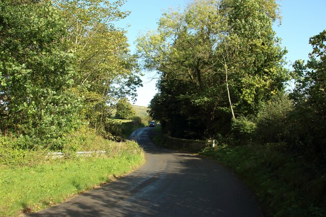
Visitors to Glendue Wood can embark on numerous walking trails that wind through the forest, allowing them to immerse themselves in the peaceful surroundings. Along these paths, one can discover hidden streams, cascading waterfalls, and charming bridges that enhance the natural beauty of the wood.

Nature enthusiasts will delight in the abundance of wildlife that can be spotted in Glendue Wood. Red squirrels, deer, and a wide variety of bird species are frequently observed within the forest, making it a popular destination for birdwatchers and animal lovers alike.

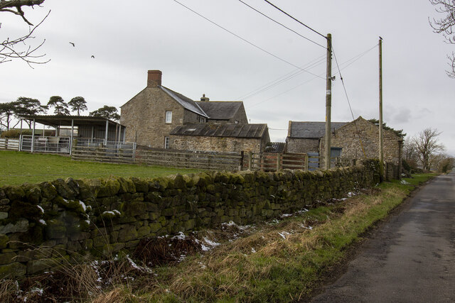
Glendue Wood is also steeped in history, with remnants of ancient settlements and archaeological sites scattered throughout the woodland. These relics offer a glimpse into the rich cultural heritage of the area, adding an extra layer of intrigue to the overall experience.

Overall, Glendue Wood is a captivating destination for nature lovers, history enthusiasts, and those seeking a peaceful retreat in the heart of Northumberland. With its stunning landscapes, diverse flora and fauna, and fascinating history, this woodland truly offers a unique and memorable experience for all who visit.

If you have any feedback on the listing, please let us know in the comments section below.

Glendue Wood Images

Images are sourced within 2km of 54.988307/-2.1788129 or Grid Reference NY8865. Thanks to Geograph Open Source API. All images are credited.

The valley of the River South Tyne around Fourstones Photo taken from the path on the western side of Warden Hill in <a href="https://www.geograph.org.uk/gridref/NY9067">NY9067</a>.
The valley of the River South Tyne around Fourstones
Photo taken from the path on the western side of Warden Hill in NY9067.
Langhope Farm Farm track to Langhope Farm
Langhope Farm
Farm track to Langhope Farm
Lowes Fell Farm Vernacular farm buildings at Lowes Fell Farm
Lowes Fell Farm
Vernacular farm buildings at Lowes Fell Farm
Houses at Allerwash
Houses at Allerwash
Allerwash farm House
Housing Development at Allerwash
Cottages at Allerwash Farm A row of stone cottages on the B6319 at Allerwash Farm.
Cottages at Allerwash Farm
A row of stone cottages on the B6319 at Allerwash Farm.
Arable land at Allerwash Farm Freshly cultivated arable land beside the buildings at Allerwash Farm.
Arable land at Allerwash Farm
Freshly cultivated arable land beside the buildings at Allerwash Farm.
The B6319 at Allerwash Farm The quiet B road passing Allerwash Farm.
The B6319 at Allerwash Farm
The quiet B road passing Allerwash Farm.
Crossing the Newbrough Burn The B6319 crosses the Newbrough Burn via an old stone bridge.
Crossing the Newbrough Burn
The B6319 crosses the Newbrough Burn via an old stone bridge.
Footpath alongside the River South Tyne A footpath following the north bank of the River South Tyne.
Footpath alongside the River South Tyne
A footpath following the north bank of the River South Tyne.
The River South Tyne Looking downstream along the River South Tyne at Allerwash.
The River South Tyne
Looking downstream along the River South Tyne at Allerwash.
Fields west of Fourstones Fields to the west of Fourstones. The spreadout buildings of Frankham can be seen on the hillside.
Fields west of Fourstones
Fields to the west of Fourstones. The spreadout buildings of Frankham can be seen on the hillside.
The River South Tyne at Fourstones Looking downstream along the River South Tyne at Fourstones. A fisherman is wading in to the river from the southern bank.
The River South Tyne at Fourstones
Looking downstream along the River South Tyne at Fourstones. A fisherman is wading in to the river from the southern bank.
Farmland east of Fourstones A pastoral landscape on the northern bank of the River South Tyne to the east of Fourstones.
Farmland east of Fourstones
A pastoral landscape on the northern bank of the River South Tyne to the east of Fourstones.
Arable field beside the River South Tyne An arable field on the northern bank of the River South Tyne.
Arable field beside the River South Tyne
An arable field on the northern bank of the River South Tyne.
Footpath alongside the River South Tyne A well used footpath on the northern side of the River South Tyne.
Footpath alongside the River South Tyne
A well used footpath on the northern side of the River South Tyne.
Cultivated arable field A recently cultivated arable field beside the River South Tyne. A Northern service travelling from Newcastle to Carlisle is travelling along the railway line which forms the far boundary of the field.
Cultivated arable field
A recently cultivated arable field beside the River South Tyne. A Northern service travelling from Newcastle to Carlisle is travelling along the railway line which forms the far boundary of the field.
Show me another place!

Glendue Wood is located at Grid Ref: NY8865 (Lat: 54.988307, Lng: -2.1788129)

Unitary Authority: Northumberland

Police Authority: Northumbria

What 3 Words

///stint.bulletins.penny. Near Warden, Northumberland

Related Wikis

Fourstones railway station

Fourstones is a former railway station which served the villages of Fourstones and Newbrough in Northumberland between 1837 and 1967 on the Tyne Valley...

Allerwash railway station

Allerwash railway station served the hamlet of Allerwash, Northumberland, England from 1836 to 1837 on the Newcastle and Carlisle Railway. == History... ==

Newbrough

Newbrough is a village in Northumberland, England, on the north bank of the River South Tyne about 5 miles (8 km) north-west of Hexham. == History == Newbrough...

Newbrough Town Hall

Newbrough Town Hall is a municipal building in Stanegate in Newbrough, Northumberland, England. The building, which is used as a community events venue...

Nearby Amenities

Located within 500m of 54.988307,-2.1788129
Parking
Fee: no
Note: Layby
Parking: surface
Source: survey
Lat/Long: 54.9910452/-2.1794093
The data included in this document is from www.openstreetmap.org. The data is made available under ODbL.

Have you been to Glendue Wood?

Leave your review of Glendue Wood below (or comments, questions and feedback).