Abbotswood

Wood, Forest in Worcestershire Wychavon

England

Abbotswood

The B4084 towards Stoulton
The B4084 towards Stoulton Credit: Ian S

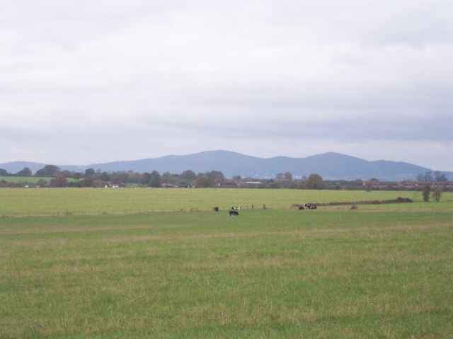
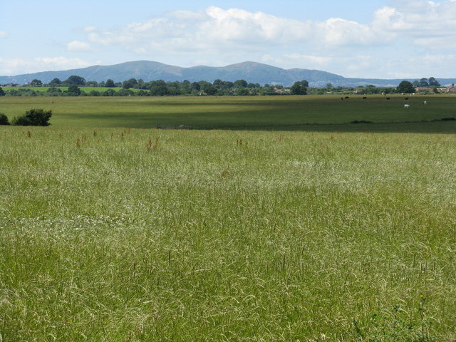
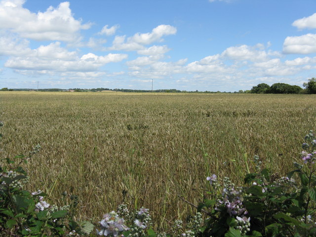
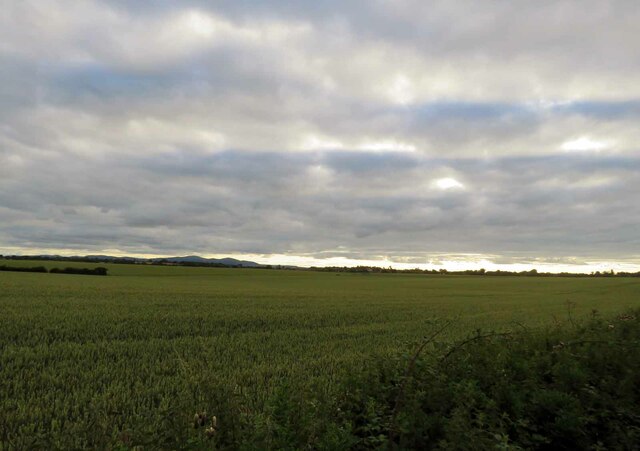
Abbotswood is a picturesque village located in the county of Worcestershire, England. Nestled amidst a tranquil woodland setting, it is aptly named after the abundance of trees and forests that surround it. The village exudes a serene ambiance, making it an ideal retreat for nature enthusiasts and those seeking a peaceful getaway.

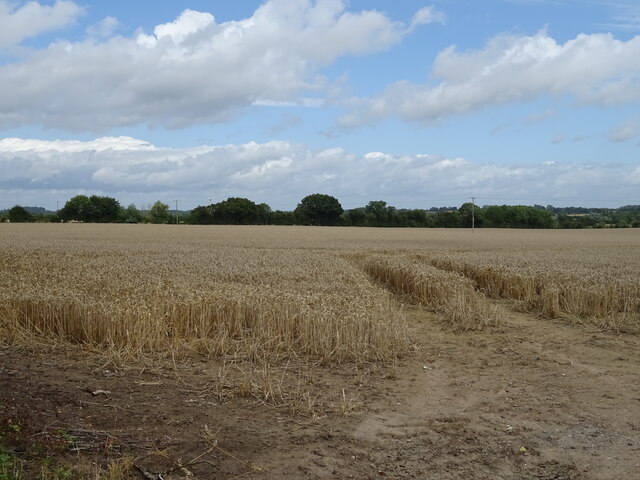
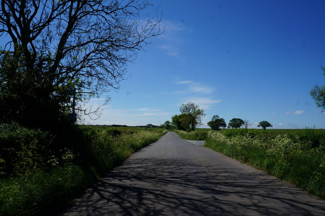
The natural beauty of Abbotswood is one of its most notable features. Thick woods envelop the area, creating a lush green backdrop that changes with the seasons. This enchanting forest provides a haven for a variety of flora and fauna, making it a popular spot for nature walks and birdwatching. The vibrant colors of spring and autumn paint a scenic picture, captivating visitors with their splendor.

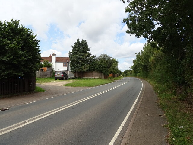
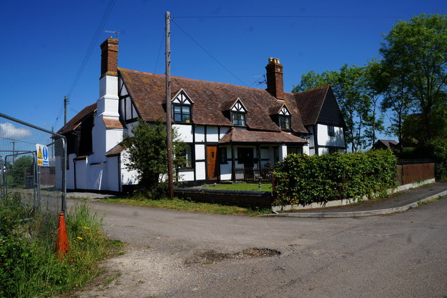
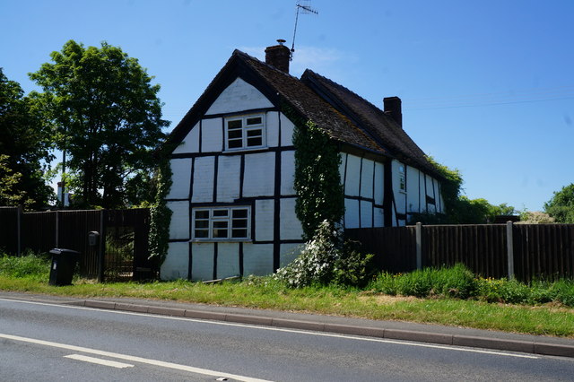
Abbotswood boasts a harmonious blend of traditional and contemporary architecture. The village is dotted with charming cottages, some of which date back centuries, showcasing the area's rich history and heritage. The warm and welcoming community is known for its strong sense of camaraderie and community spirit.

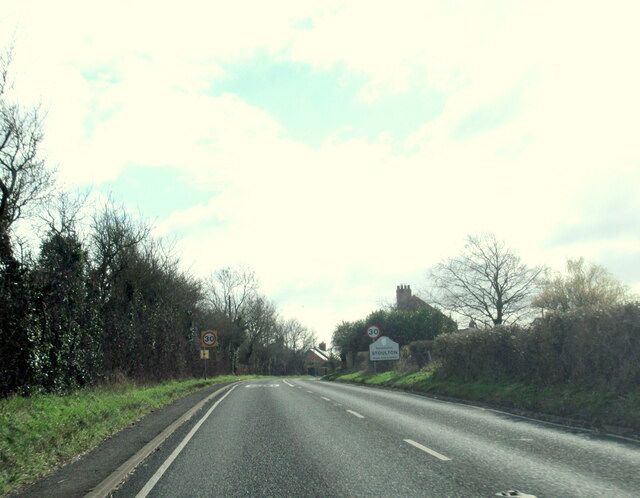
The village also offers a range of amenities to cater to the needs of its residents and visitors. There are several local shops, cafes, and pubs, providing essential services and a friendly atmosphere. Additionally, Abbotswood benefits from its proximity to larger towns and cities, with good transport links connecting it to the wider region.

Overall, Abbotswood, Worcestershire, is a hidden gem that combines natural beauty, historical charm, and a close-knit community. Whether exploring the enchanting woodland, immersing oneself in the local culture, or simply enjoying the tranquility of the surroundings, Abbotswood offers a truly idyllic experience.

If you have any feedback on the listing, please let us know in the comments section below.
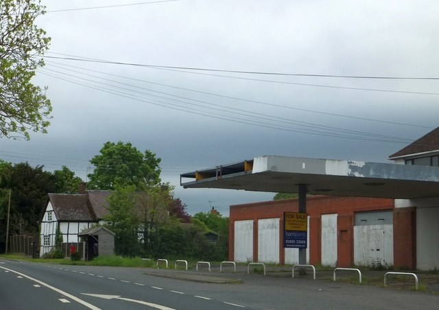
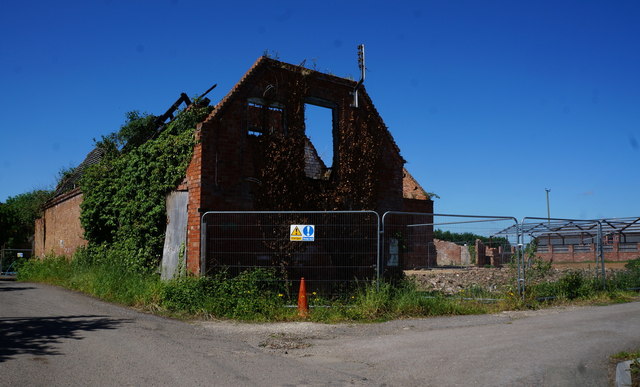
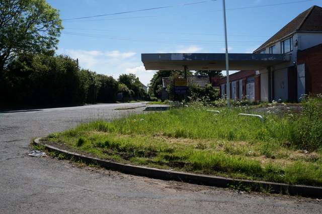
Abbotswood Images

Images are sourced within 2km of 52.141515/-2.1669723 or Grid Reference SO8849. Thanks to Geograph Open Source API. All images are credited.

The B4084 towards Stoulton
View from Stoulton of The Malvern Hills Supplementary. Worcestershire Beacon and North Hill with Sugarloaf in between.
View from Stoulton of The Malvern Hills
Supplementary. Worcestershire Beacon and North Hill with Sugarloaf in between.
Fields before the Malvern Hills, near Stoulton
Fields near Stoulton
Cereal crop, Stoulton Off the B4084.
Cereal crop, Stoulton
Off the B4084.
B4084, Stoulton Towards Worcester.
B4084, Stoulton
Towards Worcester.
Stoulton village sign on the B4084
B4084 approaching Stoulton village boundary
Bus shelter by former garage in Stoulton
Derelict building on Froggery Lane, Stoulton
Houses on Froggery Lane, Stoulton
Former garage in Stoulton
House on the B4084 to Stoulton
Wadborough Road near Stoulton
Stoulton Village Sign
B4064 towards Pershore The bus is probably the last service X50 of the day from Pershore to Worcester timetabled to pass this point at about the time of the picture although no service number shows on the bus to confirm that.
B4064 towards Pershore
The bus is probably the last service X50 of the day from Pershore to Worcester timetabled to pass this point at about the time of the picture although no service number shows on the bus to confirm that.
B4064 towards Worcester
Fields south of the B4084 The Malvern Hills are visible on the horizon.
Fields south of the B4084
The Malvern Hills are visible on the horizon.
Show me another place!

Abbotswood is located at Grid Ref: SO8849 (Lat: 52.141515, Lng: -2.1669723)

Administrative County: Worcestershire

District: Wychavon

Police Authority: West Mercia

What 3 Words

///prone.tasks.commenced. Near Kempsey, Worcestershire

Related Wikis

Abbots Wood Junction railway station

Abbots Wood Junction railway station was an early railway station in England, close to Worcester. The station, 68 miles 60 chains (68.75 miles, 110.64...

Littleworth, Worcestershire

Littleworth is a medium-sized village on the outskirts of Worcester. The village is the location of Nortan Juxta Kempsey Primary School and the Norton...

Norton-juxta-Kempsey

Norton-juxta-Kempsey is a civil parish to the south of Worcester in the United Kingdom. It contains the villages of Norton and Littleworth. The parish...

Hatfield, Worcestershire

Hatfield is a small hamlet in the district of Wychavon near the city of Worcester, in England. It is surrounded by the villages of Littleworth, Norton...

Wadborough railway station

Wadborough railway station was located in Wadborough, Worcestershire. It opened in 1841 and closed in January 1965. It was situated to the west on the...

Worcestershire Parkway railway station

Worcestershire Parkway is a split-level railway station where the Cotswold and Cross Country lines cross near Norton, Worcester, England. It opened on...

Norton Halt railway station

Norton Halt railway station was a station in Norton, Worcestershire, England. The station was opened in 1879 and closed in 1966. == References == ��2...
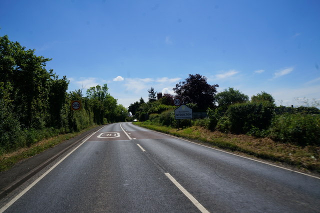
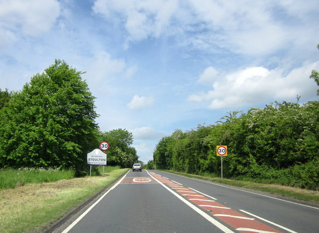
Stoulton

Stoulton or Stoughton is a village and civil parish about 5 miles south west of Worcester, in the Wychavon district, in the county of Worcestershire, England...

Nearby Amenities

Located within 500m of 52.141515,-2.1669723
Abbots Wood Cottages
Naptan AtcoCode: 2000G323161
Naptan Bearing: SE
Naptan BusStopType: CUS
Naptan CommonName: Abbots Wood Cottages
Naptan Indicator: Adj
Naptan Landmark: Cottages
Naptan NaptanCode: wocdawtg
Naptan Street: Wadborough Road
Naptan Verified: no
Source: naptan_import
Lat/Long: 52.1417192/-2.1633554
Bus Stop
Abbots Wood Cottages
Bus: yes
Naptan AtcoCode: 2000G676001
Naptan Bearing: NW
Naptan CommonName: Abbots Wood Cottages
Naptan Indicator: Opp
Naptan Landmark: Cottages
Naptan NaptanCode: wocgadtg
Naptan Street: Wadborough Road
Naptan Verified: no
Public Transport: platform
Source: naptan_import
Lat/Long: 52.1416379/-2.1636035
Crossing: uncontrolled
Railway: crossing
Lat/Long: 52.1403692/-2.160975
Crossing: uncontrolled
Railway: crossing
Lat/Long: 52.1403622/-2.161024
Barrier: stile
Foot: yes
Lat/Long: 52.1418367/-2.1620143
Barrier: kissing_gate
Foot: yes
Lat/Long: 52.144105/-2.1653175
Barrier: stile
Foot: yes
Lat/Long: 52.1411121/-2.1644768
Barrier: stile
Foot: yes
Lat/Long: 52.1407492/-2.1691732
Board Type: notice
Information: board
Tourism: information
Lat/Long: 52.1455759/-2.1663676
Barrier: stile
Foot: yes
Lat/Long: 52.1414676/-2.1632549
Barrier: stile
Foot: yes
Lat/Long: 52.1392832/-2.1645518
Barrier: stile
Foot: yes
Lat/Long: 52.1403463/-2.1611141
Barrier: stile
Foot: yes
Lat/Long: 52.1384611/-2.1721652
Passing Place
Lat/Long: 52.1402575/-2.1624988
Historic: milestone
Inscription: To Worcester Cross 5 Miles
Lat/Long: 52.1403485/-2.1626115
Power: pole
Lat/Long: 52.1424864/-2.1740136
Power: pole
Lat/Long: 52.1433399/-2.1734221
Power: pole
Lat/Long: 52.1415366/-2.161265
Power: pole
Lat/Long: 52.1414469/-2.1617706
Power: pole
Lat/Long: 52.1406592/-2.1643509
Power: pole
Lat/Long: 52.1412341/-2.1630507
Abbots Wood
Power: pole
Transformer: distribution
Voltage Primary: 11000
Lat/Long: 52.140972/-2.1646111
Power: pole
Lat/Long: 52.1403333/-2.1650895
Power: pole
Transformer: distribution
Voltage Primary: 11000
Lat/Long: 52.1386542/-2.166378
Power: pole
Lat/Long: 52.137885/-2.1665061
Power: pole
Lat/Long: 52.1370643/-2.1666247
Abbots Wood
Place: hamlet
Source: OS Open Names
Lat/Long: 52.1415856/-2.1633727
Power: pole
Lat/Long: 52.1394249/-2.1658501
The data included in this document is from www.openstreetmap.org. The data is made available under ODbL.

Have you been to Abbotswood?

Leave your review of Abbotswood below (or comments, questions and feedback).