Cromwell Wood

Wood, Forest in Cheshire

England

Cromwell Wood

Bridge over The Macclesfield Canal The Macclesfield Canal is just over 27 miles in length, and has thirteen locks, including the stop lock at Hall Green and the other twelve at Bosley. The canal was surveyed by Thomas Telford in 1825, then engineered by William Crosley, and opened on 9 November 1831 at a cost of £320,000. It joins the Trent and Mersey Canal at Hall Green to the Peak Forest Canal at Marple.
Bridge over The Macclesfield Canal Credit: Philip Cornwall

Cromwell Wood is a picturesque forest located in Cheshire, England. Spread across an area of approximately 250 acres, it is a popular destination for nature lovers and outdoor enthusiasts. The wood is situated near the village of Cromwell, just south of the market town of Nantwich.

Cromwell Wood boasts a diverse range of flora and fauna, making it a haven for wildlife. The woodland is primarily composed of broadleaf trees, including oak, beech, and birch, which create a beautiful and tranquil atmosphere. The forest floor is adorned with a carpet of bluebells during the spring, adding a vibrant splash of color to the landscape.

Visitors to Cromwell Wood can explore its numerous walking trails, which wind their way through the forest, offering stunning views and opportunities for birdwatching. The wood is home to a variety of bird species, including woodpeckers, owls, and various songbirds, making it a paradise for bird enthusiasts.

In addition to its natural beauty, Cromwell Wood also holds historical significance. The wood was named after Oliver Cromwell, the 17th-century English military and political leader. It is believed that Cromwell's troops camped in the area during the English Civil War, leaving behind remnants of their presence.

Cromwell Wood offers a peaceful retreat from the hustle and bustle of daily life. Whether you are looking for a leisurely walk, a chance to spot wildlife, or a glimpse into history, this charming woodland has something to offer for everyone.

If you have any feedback on the listing, please let us know in the comments section below.

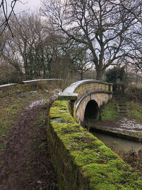
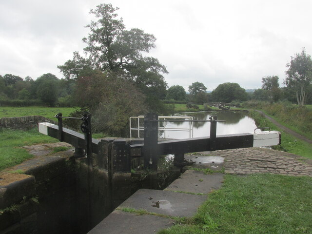
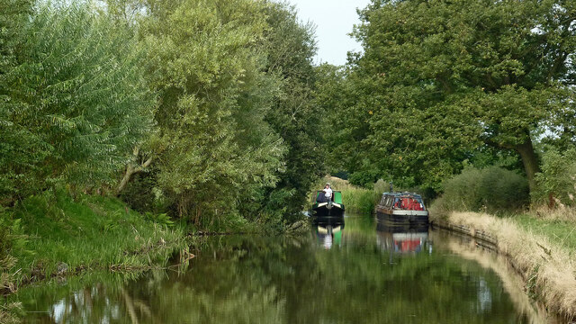
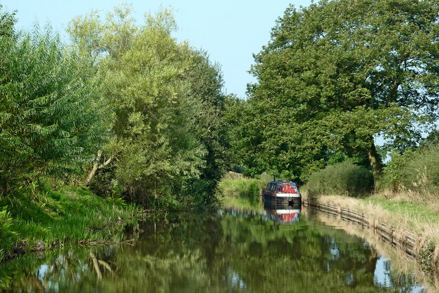
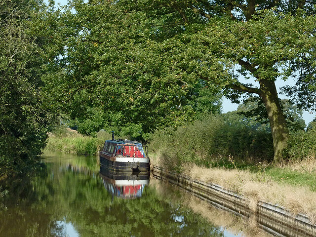
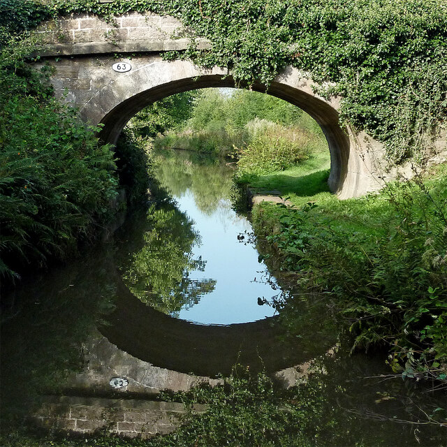
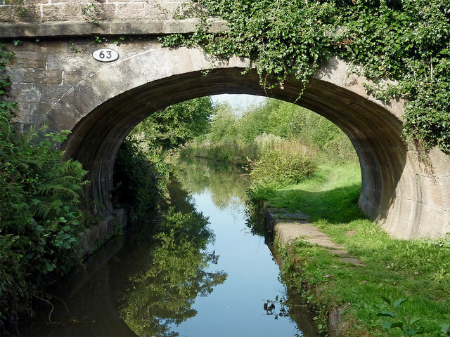
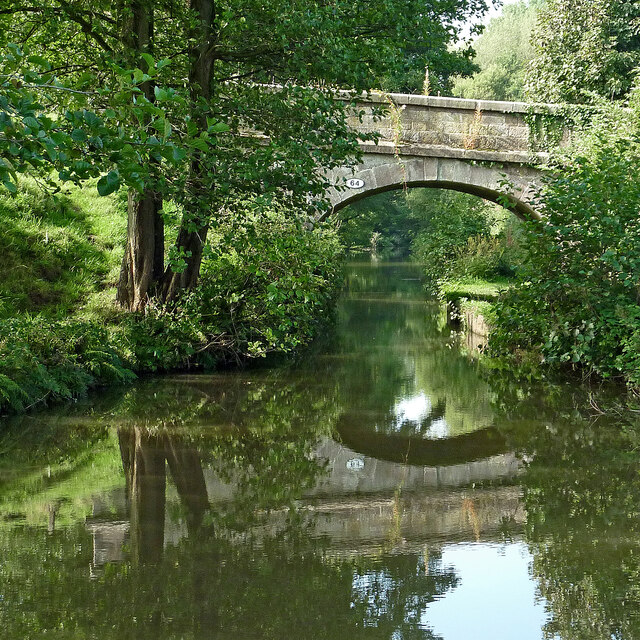
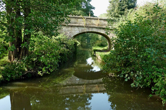
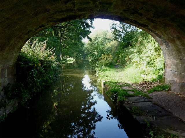
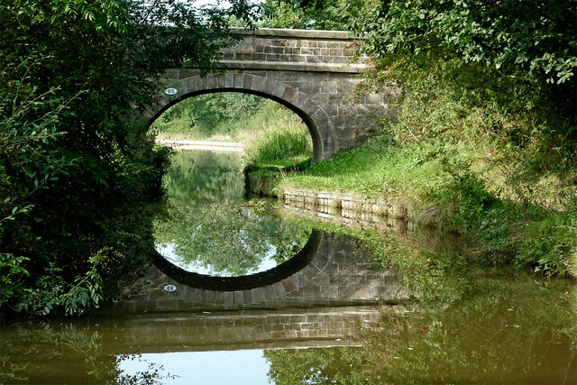
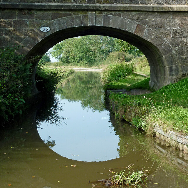
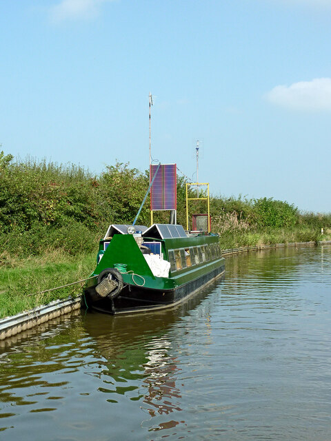
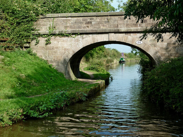
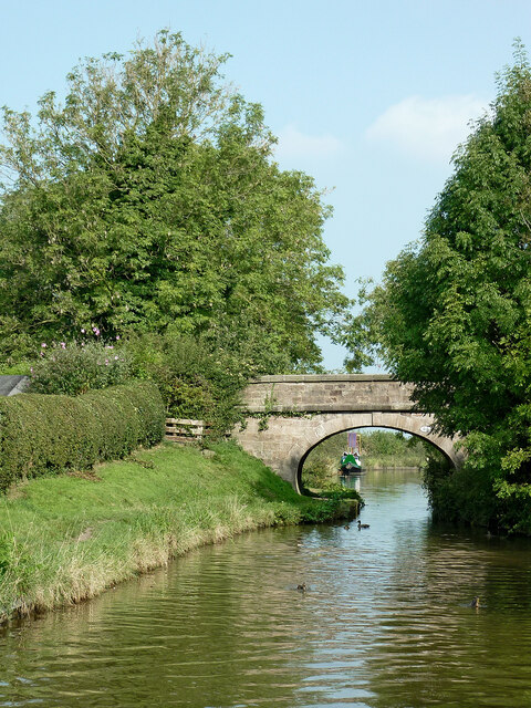
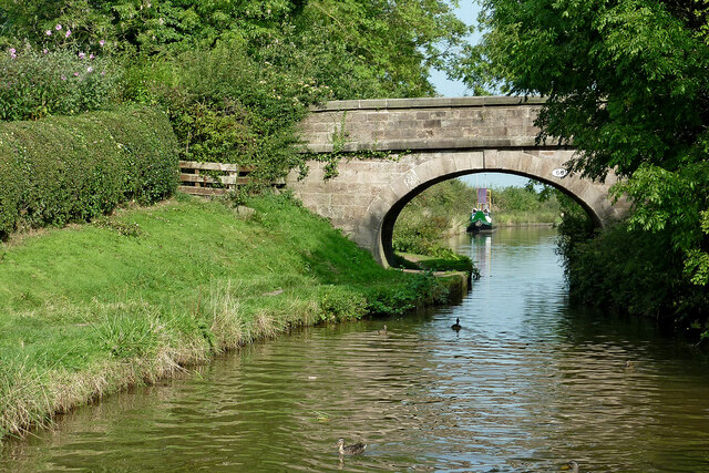
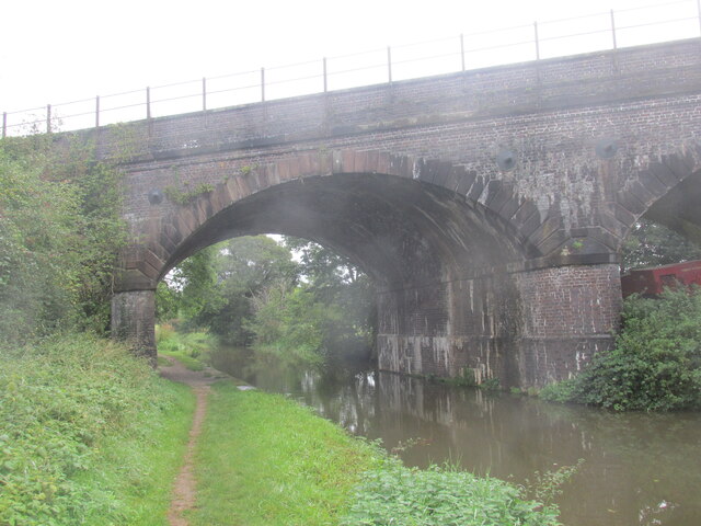
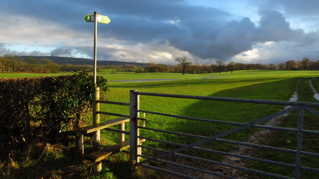
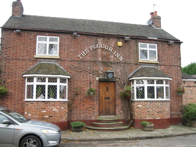
Cromwell Wood Images

Images are sourced within 2km of 53.19021/-2.1710989 or Grid Reference SJ8865. Thanks to Geograph Open Source API. All images are credited.

Bridge over The Macclesfield Canal The Macclesfield Canal is just over 27 miles in length, and has thirteen locks, including the stop lock at Hall Green and the other twelve at Bosley. The canal was surveyed by Thomas Telford in 1825, then engineered by William Crosley, and opened on 9 November 1831 at a cost of £320,000. It joins the Trent and Mersey Canal at Hall Green to the Peak Forest Canal at Marple.
Bridge over The Macclesfield Canal
The Macclesfield Canal is just over 27 miles in length, and has thirteen locks, including the stop lock at Hall Green and the other twelve at Bosley. The canal was surveyed by Thomas Telford in 1825, then engineered by William Crosley, and opened on 9 November 1831 at a cost of £320,000. It joins the Trent and Mersey Canal at Hall Green to the Peak Forest Canal at Marple.
Lock along the Macclesfield Canal No 6 of the Bosley Locks.
Lock along the Macclesfield Canal
No 6 of the Bosley Locks.
Macclesfield Canal north-east of Congleton, Cheshire Looking west-north-west towards Congleton. Stanier 2nd Bridge, No 63 is just out of view ahead.
Macclesfield Canal north-east of Congleton, Cheshire
Looking west-north-west towards Congleton. Stanier 2nd Bridge, No 63 is just out of view ahead.
Macclesfield Canal north-east of Congleton, Cheshire Looking west-north-west towards Congleton. Stanier 2nd Bridge, No 63 is just out of view ahead.
Macclesfield Canal north-east of Congleton, Cheshire
Looking west-north-west towards Congleton. Stanier 2nd Bridge, No 63 is just out of view ahead.
Moored narrowboat near Congleton in Staffordshire This is the Macclesfield Canal west of Congleton Bridge, No 61.
Moored narrowboat near Congleton in Staffordshire
This is the Macclesfield Canal west of Congleton Bridge, No 61.
Stanier 2nd Bridge near Congleton, Cheshire Stanier 2nd Bridge is No 63 across the Macclesfield Canal north-east of Congleton. It is a farmer's accommodation bridge with no public right of way across it or into adjacent fields.
Stanier 2nd Bridge near Congleton, Cheshire
Stanier 2nd Bridge is No 63 across the Macclesfield Canal north-east of Congleton. It is a farmer's accommodation bridge with no public right of way across it or into adjacent fields.
Macclesfield Canal at Stanier No 2 Bridge near Congleton Stanier 2nd Bridge is No 63 across the Macclesfield Canal north-east of Congleton. It is a farmer's accommodation bridge with no public right of way across it or into adjacent fields.
Macclesfield Canal at Stanier No 2 Bridge near Congleton
Stanier 2nd Bridge is No 63 across the Macclesfield Canal north-east of Congleton. It is a farmer's accommodation bridge with no public right of way across it or into adjacent fields.
Pearson Bridge north-east of Congleton, Cheshire Pearson Bridge is No 64 across the Macclesfield Canal north-east of Congleton. It is a farmer's accommodation bridge with no public right of way across it or into adjacent fields.
Pearson Bridge north-east of Congleton, Cheshire
Pearson Bridge is No 64 across the Macclesfield Canal north-east of Congleton. It is a farmer's accommodation bridge with no public right of way across it or into adjacent fields.
Macclesfield Canal north-east of Congleton Looking south-west through the arch of Pearson Bridge, No 64 on the Macclesfield Canal north-east of Congleton.
Macclesfield Canal north-east of Congleton
Looking south-west through the arch of Pearson Bridge, No 64 on the Macclesfield Canal north-east of Congleton.
Stanleys Bridge near Congleton in Staffordshire Stanleys Bridge is No 64 across the Macclesfield Canal north-east of Congleton. It is a farmer's accommodation bridge with no public right of way across it or into adjacent fields.
Stanleys Bridge near Congleton in Staffordshire
Stanleys Bridge is No 64 across the Macclesfield Canal north-east of Congleton. It is a farmer's accommodation bridge with no public right of way across it or into adjacent fields.
Narrowboat with solar panels This unusually equipped narrowboat was moored north of Town Field Bridge (No 66) near Buglawton, Congleton. Don't forget to lower the masts before negotiating bridges! The vessel appears to be an old (1970s?) ex-hire boat.
Narrowboat with solar panels
This unusually equipped narrowboat was moored north of Town Field Bridge (No 66) near Buglawton, Congleton. Don't forget to lower the masts before negotiating bridges! The vessel appears to be an old (1970s?) ex-hire boat.
Town Field Bridge near Buglawton, Congleton Town Field Bridge is No 66 across the Macclesfield Canal near Buglawton, Congleton. It is a farmer's accommodation bridge with no public right of way across it or into adjacent fields.
Town Field Bridge near Buglawton, Congleton
Town Field Bridge is No 66 across the Macclesfield Canal near Buglawton, Congleton. It is a farmer's accommodation bridge with no public right of way across it or into adjacent fields.
Macclesfield Canal bridge near Buglawton, Congleton Town Field Bridge is No 66 across the Macclesfield Canal near Buglawton, Congleton. It is a farmer's accommodation bridge with no public right of way across it or into adjacent fields.
Macclesfield Canal bridge near Buglawton, Congleton
Town Field Bridge is No 66 across the Macclesfield Canal near Buglawton, Congleton. It is a farmer's accommodation bridge with no public right of way across it or into adjacent fields.
Railway across the Macclesfield Canal A walk in Cheshire.
Railway across the Macclesfield Canal
A walk in Cheshire.
Footpath to North Rode at Rodegreen
Show me another place!

Cromwell Wood is located at Grid Ref: SJ8865 (Lat: 53.19021, Lng: -2.1710989)

Unitary Authority: Cheshire East

Police Authority: Cheshire

What 3 Words

///messaging.cashiers.pumps. Near Eaton, Cheshire

Nearby Locations

Cromwell Wood

Related Wikis

St Michael's Church, North Rode

St Michael's Church is in Church Lane, North Rode, Cheshire, England. It is an active Anglican parish church in the deanery of Macclesfield, the archdeaconry...

North Rode

North Rode is a small village and civil parish in the unitary authority of Cheshire East and the ceremonial county of Cheshire, England. According to the...
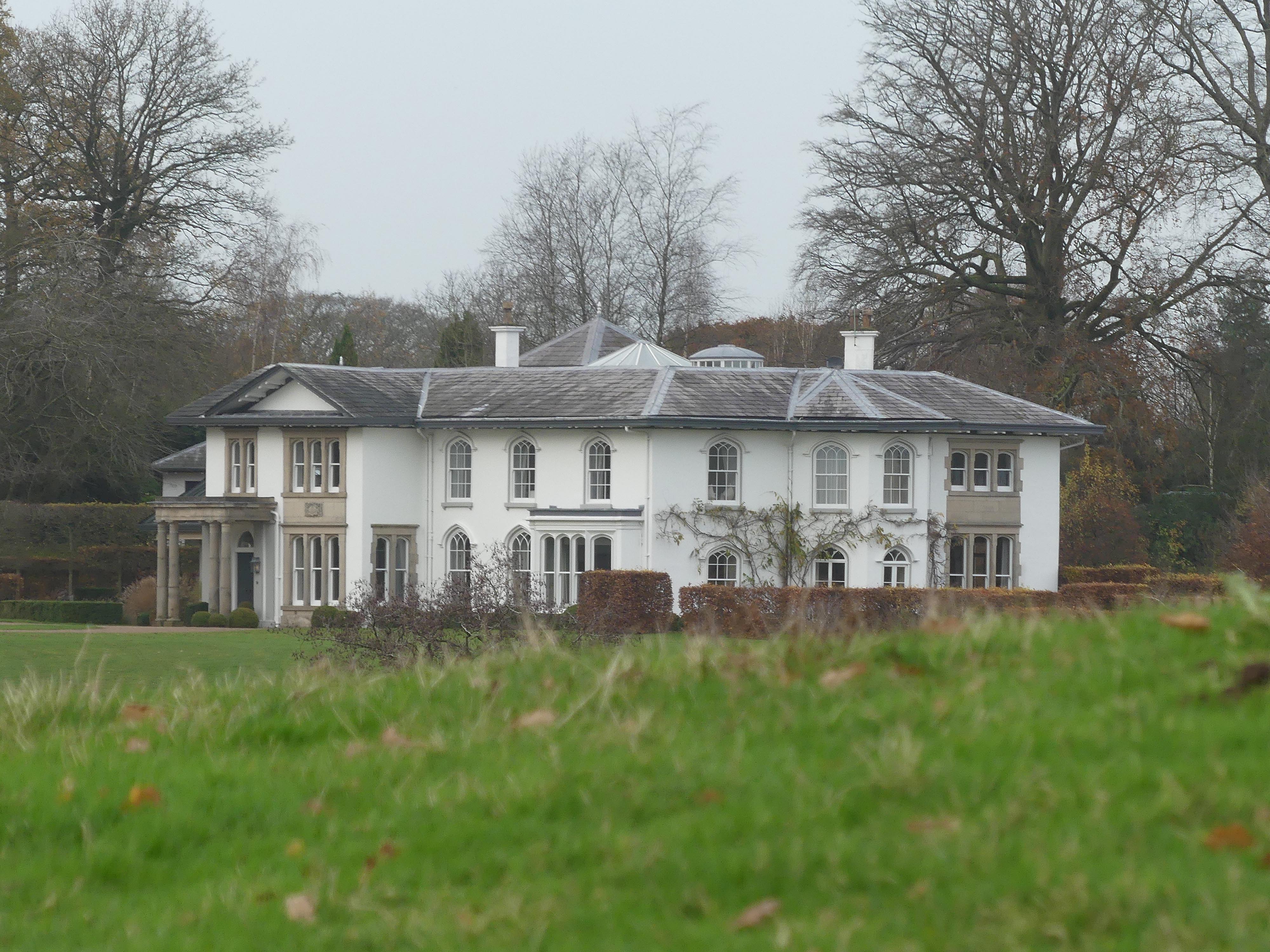
North Rode Manor

North Rode Manor is a country house standing to the north of the village of North Rode, Cheshire, England. The house was built between 1838 and 1840 for...

Buglawton Hall

Buglawton Hall is a former country house, later a school, to the northeast of Buglawton, a suburb of Congleton, Cheshire, England. == Architecture == The...

North Rode railway station

North Rode railway station originally North Rode junction served the village of North Rode, Cheshire. The station was opened by the North Staffordshire...

Eaton, Cheshire East

Eaton is a village and civil parish in the unitary authority of Cheshire East and the ceremonial county of Cheshire, England. According to the 2001 census...

Christ Church, Eaton

Christ Church is in Macclesfield Road, the A536 road, to the south of the village of Eaton, Cheshire East, England. It is an active Anglican parish church...

Bosley Lock Flight

Bosley Lock Flight (grid reference SJ904662) is a flight of twelve canal locks, situated on the Macclesfield Canal at Bosley, near Macclesfield, Cheshire...

Nearby Amenities

Located within 500m of 53.19021,-2.1710989
Traffic Signals
Traffic Signals: bridge
Traffic Signals Direction: forward
Lat/Long: 53.188786/-2.1644975
Designation: public_footpath
Foot: designated
Prow Ref: North Rode FP2
Lat/Long: 53.1909506/-2.164718
Barrier: kissing_gate
Material: metal
Lat/Long: 53.1916288/-2.169906
Barrier: kissing_gate
Material: metal
Lat/Long: 53.1907705/-2.1728933
Barrier: kissing_gate
Material: metal
Lat/Long: 53.1913936/-2.168088
Barrier: kissing_gate
Material: metal
Lat/Long: 53.1910024/-2.1651155
Barrier: kissing_gate
Lat/Long: 53.1899486/-2.1768293
Barrier: kissing_gate
Material: metal
Lat/Long: 53.1899211/-2.1769457
Barrier: stile
Lat/Long: 53.1910409/-2.1773787
Barrier: kissing_gate
Material: metal
Lat/Long: 53.1894103/-2.1637943
Barrier: kissing_gate
Material: metal
Lat/Long: 53.1909141/-2.1647351
Barrier: kissing_gate
Material: metal
Lat/Long: 53.1911459/-2.1662378
Barrier: kissing_gate
Material: metal
Lat/Long: 53.1908518/-2.1725196
Barrier: stile
Material: wood
Step Count: 2
Stile: stepover
Lat/Long: 53.1889233/-2.1743006
The data included in this document is from www.openstreetmap.org. The data is made available under ODbL.

Have you been to Cromwell Wood?

Leave your review of Cromwell Wood below (or comments, questions and feedback).