Coronation Copse

Wood, Forest in Worcestershire Wychavon

England

Coronation Copse

Pershore Lane at Bredicot Rough A4538 southbound
Pershore Lane at Bredicot Rough Credit: John Firth

Coronation Copse is a picturesque woodland area situated in Worcestershire, England. Covering an area of approximately 20 acres, this enchanting copse is known for its abundant flora and diverse wildlife. Located near the village of Great Witley, the copse is easily accessible and offers a serene escape from the hustle and bustle of everyday life.

The copse is predominantly made up of deciduous trees, including oak, ash, and beech, which create a dense canopy overhead, providing shade and shelter to the woodland floor below. In spring, the copse comes alive with a vibrant display of bluebells, forming a breathtaking carpet of blue throughout the woodland. The varied foliage and rich soil support a wide variety of plants, including ferns, wild garlic, and wood sorrel.

Coronation Copse is a haven for wildlife enthusiasts, attracting a plethora of bird species such as woodpeckers, owls, and finches. The copse is also home to various mammals, including foxes, badgers, and deer, making it an ideal spot for wildlife spotting and nature photography.

The copse is crisscrossed with well-maintained footpaths, allowing visitors to explore the woodland at their leisure. The peaceful atmosphere and tranquil surroundings make it an ideal location for walking, jogging, or simply enjoying a picnic amidst nature.

Coronation Copse is not only a natural treasure but also holds historical significance. It was planted to commemorate the coronation of King George VI in 1937, and the copse's name serves as a reminder of this important event in British history.

In conclusion, Coronation Copse in Worcestershire offers a delightful escape into nature, with its stunning woodland, diverse wildlife, and rich history. It is a place where visitors can immerse themselves in the beauty of the natural world and find solace amidst the tranquility of this enchanting forest.

If you have any feedback on the listing, please let us know in the comments section below.

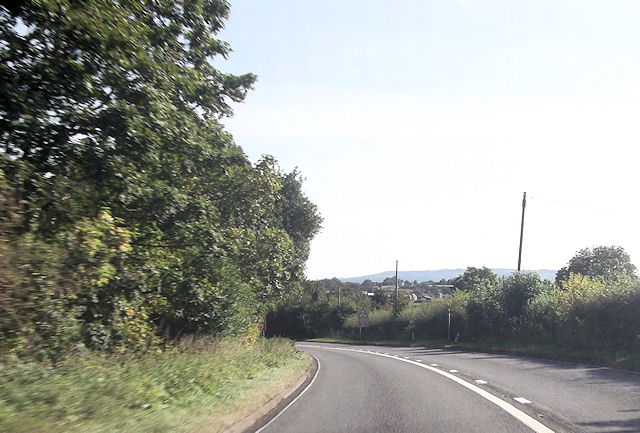
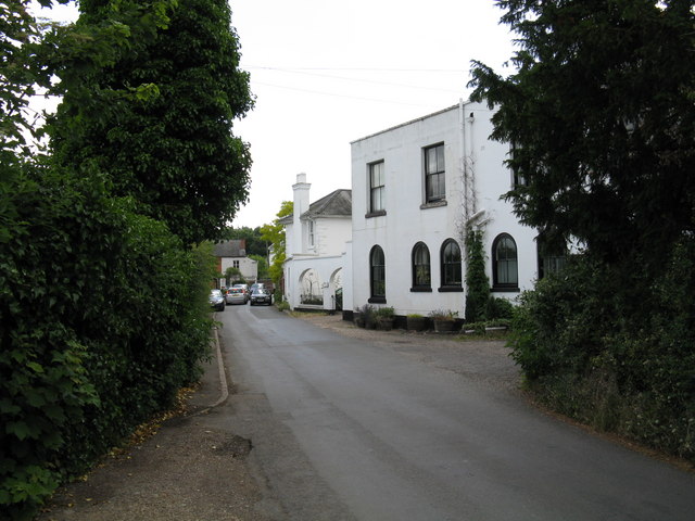
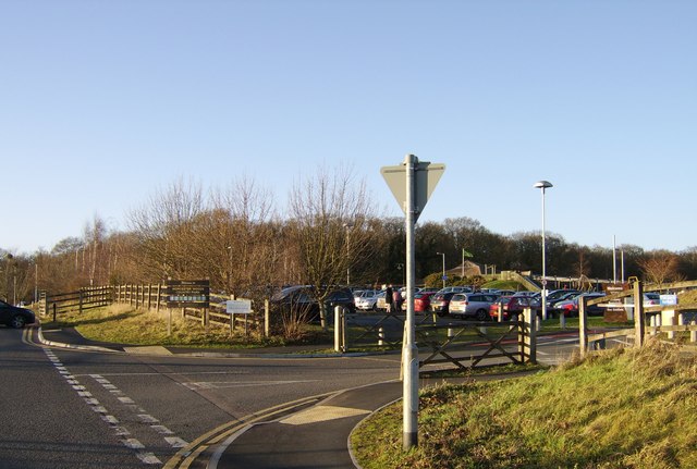
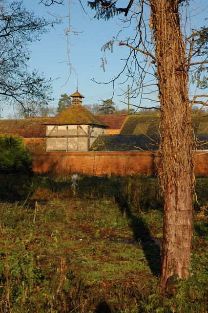
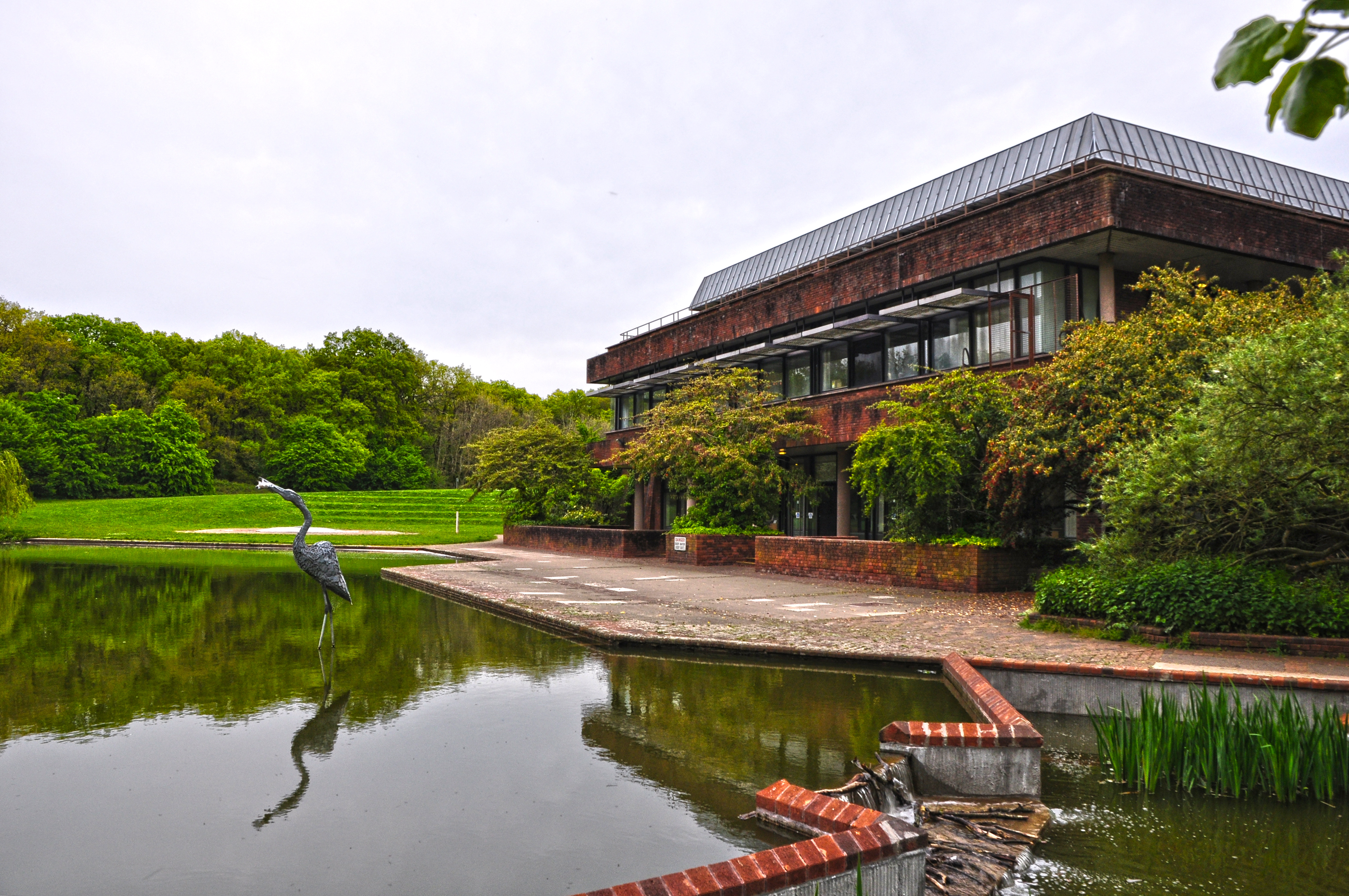
Coronation Copse Images

Images are sourced within 2km of 52.177719/-2.1671957 or Grid Reference SO8853. Thanks to Geograph Open Source API. All images are credited.

Pershore Lane at Bredicot Rough A4538 southbound
Pershore Lane at Bredicot Rough
A4538 southbound
Spetchley railway station (site), Worcestershire Opened in 1840 by the Birmingham & Gloucester Railway, this station closed to passengers as early as 1855, and completely in the mid 1960s (needs confirmation).
View south towards Wadborough and Gloucester.
Spetchley railway station (site), Worcestershire
Opened in 1840 by the Birmingham & Gloucester Railway, this station closed to passengers as early as 1855, and completely in the mid 1960s (needs confirmation). View south towards Wadborough and Gloucester.
Farmland near Spetchley
The Nightingale The Nightingale, formerly the Berkeley Knot, at Sneachill, looking north-west
The Nightingale
The Nightingale, formerly the Berkeley Knot, at Sneachill, looking north-west
Brickbarns Farm Looking west from near the A44 at Sneachill.
Brickbarns Farm
Looking west from near the A44 at Sneachill.
Birch Plantation Grown very close together. Bio mass fuel?
Birch Plantation
Grown very close together. Bio mass fuel?
Footbridge over the Birmingham to Bristol Railway The footpath runs from Swinesherd near Worcester to Churchill. viewed from the south west.
Footbridge over the Birmingham to Bristol Railway
The footpath runs from Swinesherd near Worcester to Churchill. viewed from the south west.
Grazing Land
Grazing Land
Sneachill fields in autumn Leaves layer the grass near Sneachill junction.
Sneachill fields in autumn
Leaves layer the grass near Sneachill junction.
A44 approaching roundabout Junction with the A422.
A44 approaching roundabout
Junction with the A422.
Worcester 4 Miles A44 heading west.
Worcester 4 Miles
A44 heading west.
Railway towards Cheltenham The line from Birmingham.
Railway towards Cheltenham
The line from Birmingham.
1, the Common, Spetchley A 17th and 18th century timber framed cottage with brick extensions. Listed Grade II.
1, the Common, Spetchley
A 17th and 18th century timber framed cottage with brick extensions. Listed Grade II.
1, the Common, Spetchley A 17th and 18th century timber framed cottage with brick extensions. Listed Grade II.
1, the Common, Spetchley
A 17th and 18th century timber framed cottage with brick extensions. Listed Grade II.
The Cottage, Spetchley The British Listed Buildings website lists two properties in Spetchley as 'The Cottage'. This is on the Common and is timber framed with a brick extension, built in the 17th century and Grade II Listed.
The Cottage, Spetchley
The British Listed Buildings website lists two properties in Spetchley as 'The Cottage'. This is on the Common and is timber framed with a brick extension, built in the 17th century and Grade II Listed.
The Cottage, Spetchley The British Listed Buildings website lists two properties in Spetchley as 'The Cottage'. This is on the Common and is timber framed with a brick extension, built in the 17th century and Grade II Listed. Seen from a public footpath.
The Cottage, Spetchley
The British Listed Buildings website lists two properties in Spetchley as 'The Cottage'. This is on the Common and is timber framed with a brick extension, built in the 17th century and Grade II Listed. Seen from a public footpath.
The Cottage, Spetchley One of two buildings in Spetchley described on the British Listed Buildings website as the cottage. Timber framed dwelling Listed Grade II. Seen from the A44 with zoom.
The Cottage, Spetchley
One of two buildings in Spetchley described on the British Listed Buildings website as the cottage. Timber framed dwelling Listed Grade II. Seen from the A44 with zoom.
A4538, Pershore Lane
Show me another place!

Coronation Copse is located at Grid Ref: SO8853 (Lat: 52.177719, Lng: -2.1671957)

Administrative County: Worcestershire

District: Wychavon

Police Authority: West Mercia

What 3 Words

///handed.pines.wing. Near Worcester, Worcestershire

Nearby Locations

Coronation Copse

Related Wikis

All Saints' Church, Spetchley

All Saints' Church, Spetchley, is a redundant Anglican church adjacent to Spetchley Park, Worcestershire, England. It is recorded in the National Heritage...
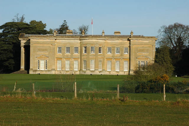
Spetchley Park

Spetchley Park is a country mansion standing in 4500 acres of gardens and parkland in the hamlet of Spetchley, near Worcester, England. The house and...

Whittington, Worcestershire

Whittington is a small village near Worcester close to Junction 7 of the M5 motorway, bounded by the motorway and the B4084, in the District of Wychavon...

Worcester Woods Country Park

Worcester Woods Country Park is a country park in Worcester, Worcestershire, England. == History == The land on which the park sits was a medieval farmstead...

Spetchley

Spetchley is a hamlet and civil parish in Worcestershire, England, that lies in the district of Wychavon, half a mile from Worcester, along the A44 road...

Worcester Sixth Form College

Worcester Sixth Form College is a 16-19 Academy in Worcester, England. It is located in the south-east of the city and was founded on the site of the former...

Croome collection

The Croome collection – the archive of the Earls of Coventry – came into public ownership in 2005 as part of the Acceptance in Lieu of Inheritance Tax...

County Hall, Worcester

County Hall is a municipal facility at Spetchley Road in Worcester, Worcestershire. It is the headquarters of Worcestershire County Council. == History... ==

Nearby Amenities

Located within 500m of 52.177719,-2.1671957
Fixme: continue
Lat/Long: 52.1807418/-2.1714883
Phone
Check Date: 2022-03-22
Emergency: phone
Source: survey
Lat/Long: 52.1771737/-2.1736251
Man Made: tower
Note: Approximate location
Source: survey
Tower Type: communication
Lat/Long: 52.17713/-2.1734017
Phone
Check Date: 2022-03-22
Emergency: phone
Source: survey
Lat/Long: 52.1773019/-2.1742905
The data included in this document is from www.openstreetmap.org. The data is made available under ODbL.

Have you been to Coronation Copse?

Leave your review of Coronation Copse below (or comments, questions and feedback).