The Long Wood

Wood, Forest in Staffordshire South Staffordshire

England

The Long Wood

Barns at Leper House Farm Typical red brick outbuildings. The farm name suggests the site of a leper hospital associated with the nearby sulphurous Leper Well on Whitehouse Lane.
Barns at Leper House Farm Credit: John M

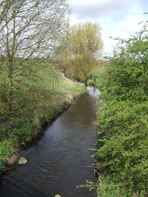
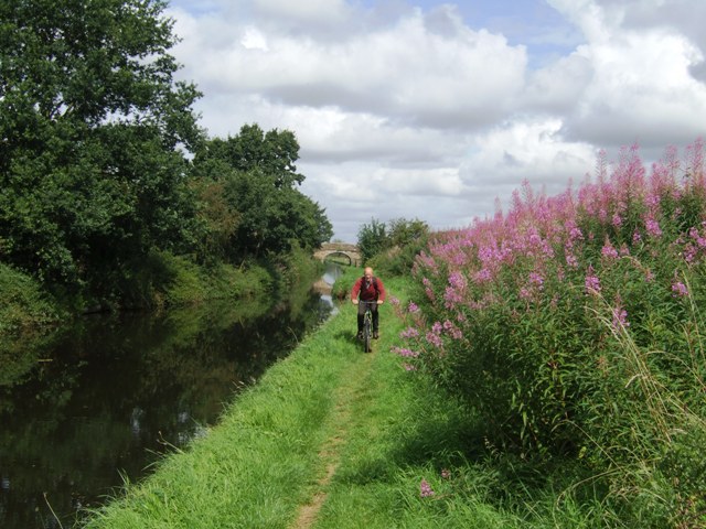
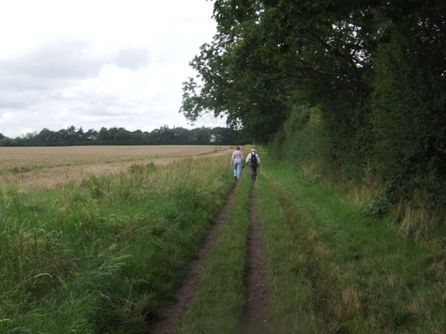
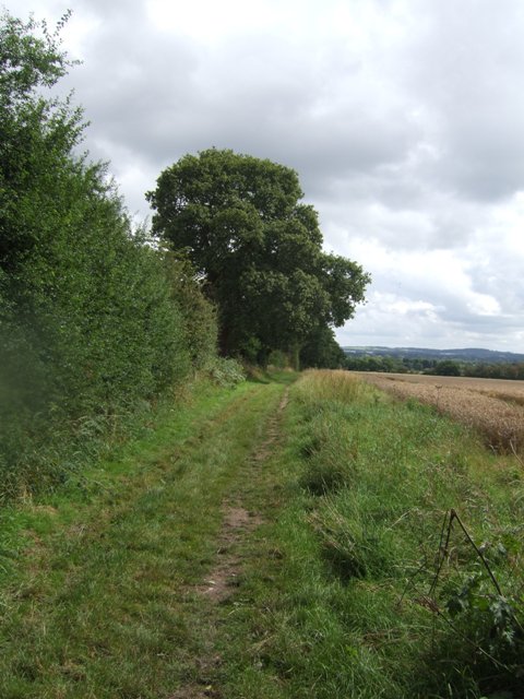
The Long Wood, located in Staffordshire, England, is a magnificent forest that stretches over an expansive area. Covering approximately 500 acres, this woodland is a significant natural landmark in the region. The forest is characterized by its dense canopy of tall trees, which primarily consists of oak, beech, and birch. The Long Wood is known for its rich biodiversity, offering a habitat for a wide range of flora and fauna.

The forest is accessible to the public and provides a peaceful and serene environment for visitors to explore. Numerous walking trails wind through the woodland, allowing visitors to immerse themselves in the beauty of nature. The well-maintained paths offer an opportunity to observe the diverse wildlife that inhabits the area, including deer, squirrels, and a variety of bird species.

In addition to its natural beauty, The Long Wood also has historical significance. It is believed to have existed for centuries and has witnessed numerous events throughout history. The forest has been mentioned in several historical records, highlighting its importance to the local community.

The Long Wood is a popular destination for nature enthusiasts, hikers, and photographers. Its picturesque landscapes, vibrant foliage during autumn, and tranquil atmosphere make it an ideal spot for outdoor activities and relaxation. The forest provides an escape from the hustle and bustle of everyday life, allowing visitors to connect with nature and enjoy its wonders.

If you have any feedback on the listing, please let us know in the comments section below.

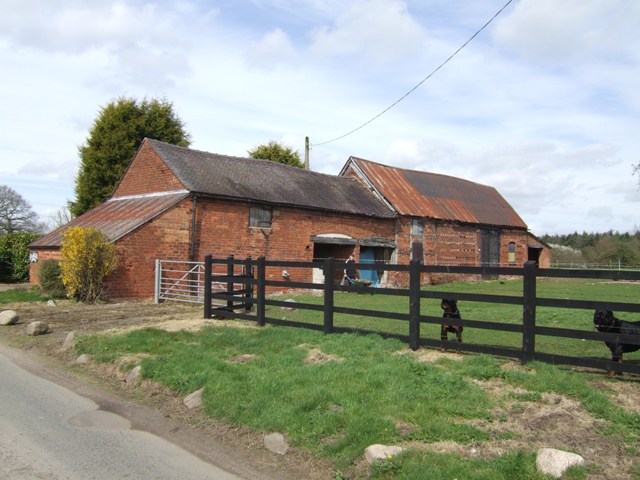
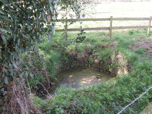
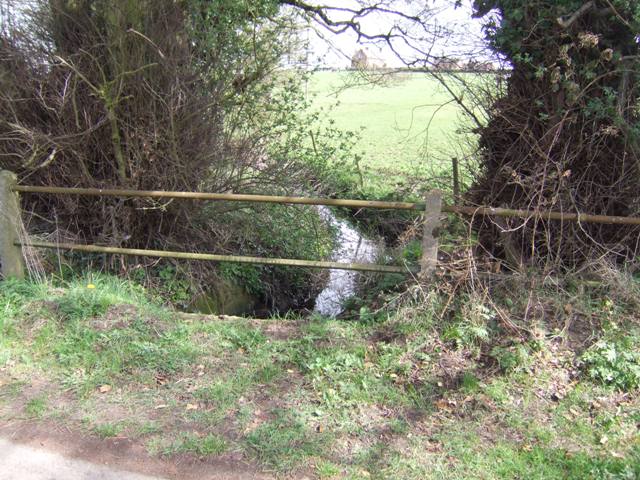
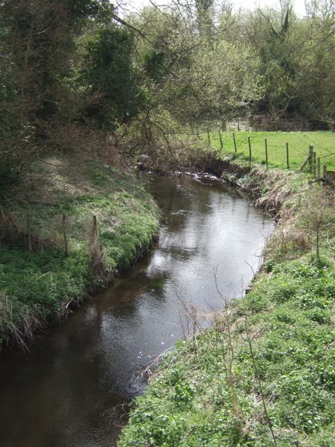
The Long Wood Images

Images are sourced within 2km of 52.636202/-2.1689705 or Grid Reference SJ8804. Thanks to Geograph Open Source API. All images are credited.

Barns at Leper House Farm Typical red brick outbuildings. The farm name suggests the site of a leper hospital associated with the nearby sulphurous Leper Well on Whitehouse Lane.
Barns at Leper House Farm
Typical red brick outbuildings. The farm name suggests the site of a leper hospital associated with the nearby sulphurous Leper Well on Whitehouse Lane.
Lepers Well Ancient sulphurous well beside Whitehouse Lane. The well is Grade 2 listed.
Lepers Well
Ancient sulphurous well beside Whitehouse Lane. The well is Grade 2 listed.
Tributary of the Moat Brook Viewed upstream at Whitehouse Lane. The brook is fed from the Big Pool at Chillington Hall.
Tributary of the Moat Brook
Viewed upstream at Whitehouse Lane. The brook is fed from the Big Pool at Chillington Hall.
River Penk - upstream at Pendeford Hall Lane
River Penk - downstream at Pendeford Hall Lane
Codsall Mill The tower mill has been incorporated into Millfield House. Originally an 18th century mill with four sails, boat cap, weathervane and tailpole. Had ceased use by the 1880s.
Codsall Mill
The tower mill has been incorporated into Millfield House. Originally an 18th century mill with four sails, boat cap, weathervane and tailpole. Had ceased use by the 1880s.
Bridleway near Long Birch Farm
Bilbrook water treatment works Or sewage works, if you prefer the older term!
Bilbrook water treatment works
Or sewage works, if you prefer the older term!
Bilbrook village hall On the outskirts of Bilbrook, and adjacent to the playing fields.
Bilbrook village hall
On the outskirts of Bilbrook, and adjacent to the playing fields.
Lane Green Avenue, Bilbrook A cul-de-sac of houses on the edge of Bilbrook.
Lane Green Avenue, Bilbrook
A cul-de-sac of houses on the edge of Bilbrook.
Very old Leper House Farm, reputed to have been a leper colony On nearby Moors Farm is the Lepers Well, a sulphur well which is reputed to cure all ills, including Leprosy. link
Very old Leper House Farm, reputed to have been a leper colony
On nearby Moors Farm is the Lepers Well, a sulphur well which is reputed to cure all ills, including Leprosy. link
Whitehouse Lane at Gunstone Some maps give Gunstone as being just up the road, but Google maps place it here.
Whitehouse Lane at Gunstone
Some maps give Gunstone as being just up the road, but Google maps place it here.
Shropshire Union towpath near Lower Hattons Bridge The Monarch's Way follows the towpath south to Pendeford Bridge on its way from Boscobel to Moseley Old Hall.
Shropshire Union towpath near Lower Hattons Bridge
The Monarch's Way follows the towpath south to Pendeford Bridge on its way from Boscobel to Moseley Old Hall.
Walkers on the Monarchs Way Between Hunting Bridge and Port Lane.
Walkers on the Monarchs Way
Between Hunting Bridge and Port Lane.
Monarch's Way The path drops down from Port Lane to Hunting Bridge heading for Pendeford Mill.
Monarch's Way
The path drops down from Port Lane to Hunting Bridge heading for Pendeford Mill.
National Cycle Route 81 entering Bilbrook (at Joey's Lane) Only a short section of the route is signed into Bilbrook. Eventually the route will link Sandwell (joining with Route 5 from Birmingham) and Aberystwyth via Wolverhampton and Shrewsbury.
National Cycle Route 81 entering Bilbrook (at Joey's Lane)
Only a short section of the route is signed into Bilbrook. Eventually the route will link Sandwell (joining with Route 5 from Birmingham) and Aberystwyth via Wolverhampton and Shrewsbury.
Cyclists on NCN 81 Leaving Joey's Lane beside the Old Village Green.
Cyclists on NCN 81
Leaving Joey's Lane beside the Old Village Green.
The end of NCN 81 in Bilbrook The last sign on this short section of NCN 81 beside the school and leisure centre.
The end of NCN 81 in Bilbrook
The last sign on this short section of NCN 81 beside the school and leisure centre.
Show me another place!

The Long Wood is located at Grid Ref: SJ8804 (Lat: 52.636202, Lng: -2.1689705)

Administrative County: Staffordshire

District: South Staffordshire

Police Authority: Staffordshire

What 3 Words

///email.packet.ample. Near Codsall, Staffordshire

Related Wikis

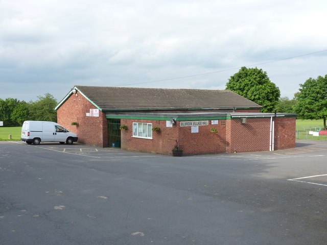
Bilbrook, Staffordshire

Bilbrook is a village in the South Staffordshire district of Staffordshire, England. It is situated close to the border of the West Midlands, just outside...

Codsall Community High School

Codsall Community High School is a coeducational upper school and sixth form located in Codsall, Staffordshire, England.It is located in a large village...

Gunstone

Gunstone is a hamlet in the South Staffordshire district of Staffordshire, England. It is situated north east of the village of Codsall. == Place name... ==

Bilbrook railway station

Bilbrook railway station is a railway station which serves the village of Bilbrook in Staffordshire, England. It was known as Birches and Bilbrook Halt...

Birches Bridge

Birches Bridge is an area of Codsall, Staffordshire. It is situated to the northwest of Wolverhampton between Bilbrook and Codsall. == Name and origins... ==

Codsall

Codsall is a large village in the South Staffordshire district of Staffordshire, England. It is situated 5 miles northwest of Wolverhampton and 13 miles...

South Staffordshire

South Staffordshire is a local government district in Staffordshire, England. The district lies to the north and west of the West Midlands county, bordering...

Pendeford

Pendeford is a suburb of Wolverhampton, West Midlands, England. Historically part of Staffordshire, it is situated north-north-west of the city centre...

Nearby Amenities

Located within 500m of 52.636202,-2.1689705
Access: customers
Maxlength: 22
Operator: Canal and River Trust
Waterway: turning_point
Lat/Long: 52.6383716/-2.1636491
Passing Place
Lat/Long: 52.6371488/-2.1736205
Power: pole
Lat/Long: 52.6376873/-2.174957
Power: pole
Lat/Long: 52.6373178/-2.1730104
Power: pole
Lat/Long: 52.6369699/-2.1711346
Power: pole
Lat/Long: 52.6366112/-2.1692695
Power: pole
Lat/Long: 52.6369098/-2.1672238
Power: pole
Lat/Long: 52.6371782/-2.1651817
Power: pole
Lat/Long: 52.6373672/-2.1637908
Power: pole
Lat/Long: 52.6375949/-2.1621982
The data included in this document is from www.openstreetmap.org. The data is made available under ODbL.

Have you been to The Long Wood?

Leave your review of The Long Wood below (or comments, questions and feedback).