Ring Hill Covert

Wood, Forest in Staffordshire South Staffordshire

England

Ring Hill Covert

Barns at Leper House Farm Typical red brick outbuildings. The farm name suggests the site of a leper hospital associated with the nearby sulphurous Leper Well on Whitehouse Lane.
Barns at Leper House Farm Credit: John M

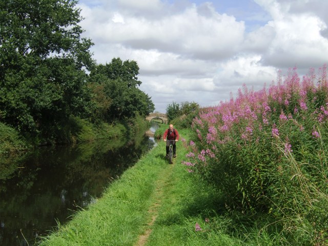
Ring Hill Covert is a captivating woodland located in Staffordshire, England. Encompassing an area of lush greenery and enchanting biodiversity, this forest is a haven for nature enthusiasts and outdoor adventurers alike. It is situated near the village of Abbots Bromley, adding to its accessibility and popularity among locals and visitors.

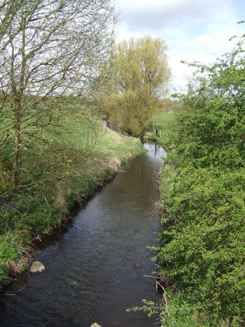
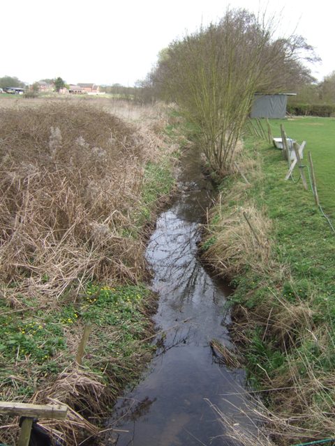
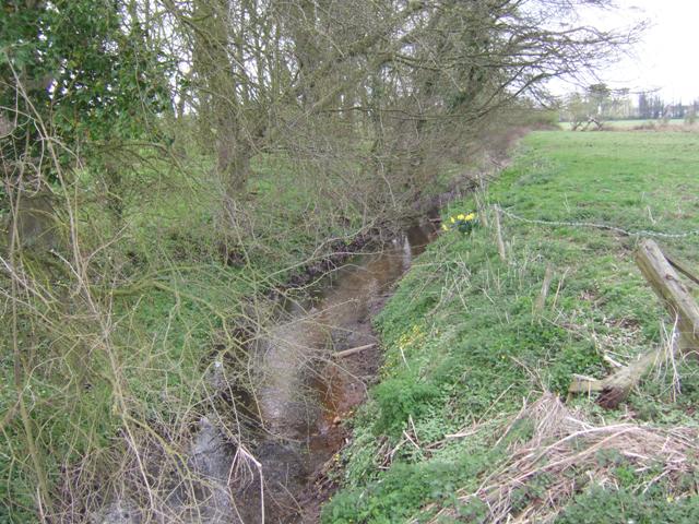
The woodland is characterized by its dense canopy of towering trees, predominantly oak and beech, which provide a comforting shade and create a tranquil atmosphere. The forest floor is adorned with a vibrant carpet of ferns, moss, and wildflowers, adding to the visual appeal and ecological richness of the area.

Ring Hill Covert is home to a diverse range of wildlife. Birdwatchers will be delighted to spot species such as woodpeckers, nuthatches, and tawny owls, while deer, rabbits, and squirrels can often be seen darting amongst the trees. The forest also boasts a variety of insects, including butterflies and dragonflies, which adds to the natural beauty and ecological significance of the area.

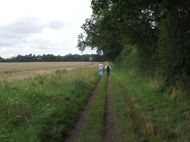
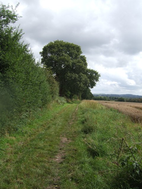
The woodland is crisscrossed by a network of well-maintained footpaths and trails, providing ample opportunities for hikers, joggers, and dog walkers to explore its hidden treasures. Visitors can also enjoy picnicking and camping in designated areas, allowing them to fully immerse themselves in the serene and picturesque surroundings.

Ring Hill Covert offers a tranquil escape from the bustle of everyday life, providing an idyllic setting for relaxation and appreciation of the natural world. With its diverse flora and fauna, it is a place of both ecological importance and scenic beauty that is sure to captivate nature enthusiasts and adventurers alike.

If you have any feedback on the listing, please let us know in the comments section below.

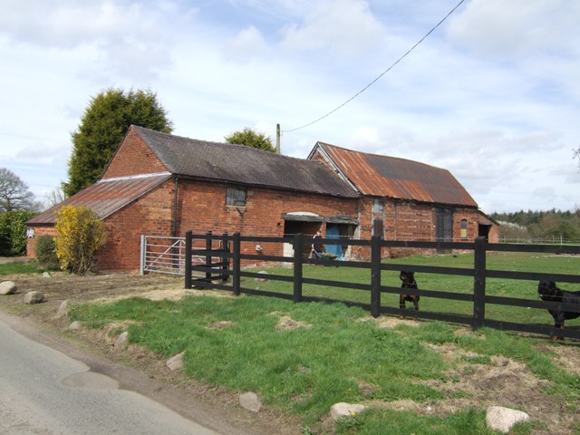
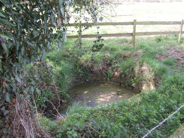
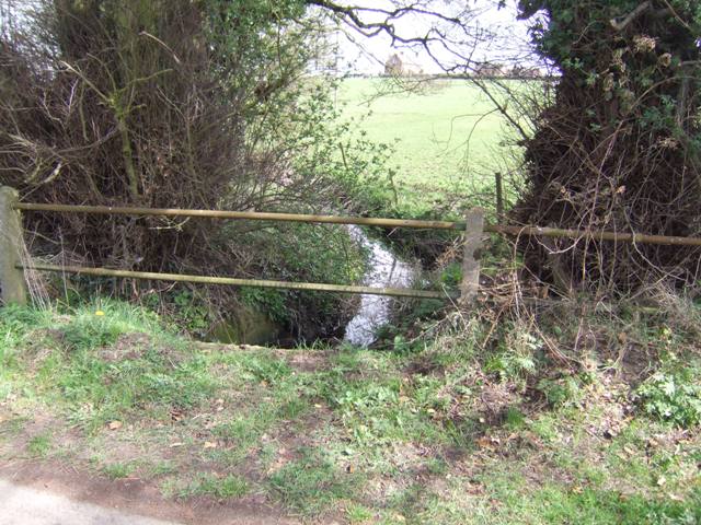
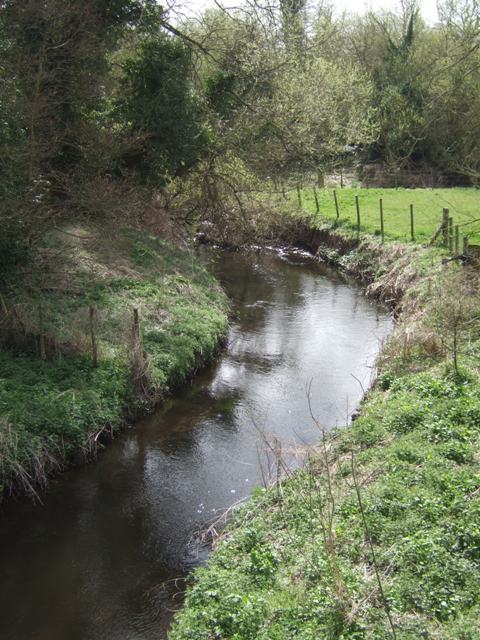
Ring Hill Covert Images

Images are sourced within 2km of 52.641683/-2.1767651 or Grid Reference SJ8804. Thanks to Geograph Open Source API. All images are credited.

Barns at Leper House Farm Typical red brick outbuildings. The farm name suggests the site of a leper hospital associated with the nearby sulphurous Leper Well on Whitehouse Lane.
Barns at Leper House Farm
Typical red brick outbuildings. The farm name suggests the site of a leper hospital associated with the nearby sulphurous Leper Well on Whitehouse Lane.
Lepers Well Ancient sulphurous well beside Whitehouse Lane. The well is Grade 2 listed.
Lepers Well
Ancient sulphurous well beside Whitehouse Lane. The well is Grade 2 listed.
Tributary of the Moat Brook Viewed upstream at Whitehouse Lane. The brook is fed from the Big Pool at Chillington Hall.
Tributary of the Moat Brook
Viewed upstream at Whitehouse Lane. The brook is fed from the Big Pool at Chillington Hall.
River Penk - upstream at Pendeford Hall Lane
River Penk - downstream at Pendeford Hall Lane
Codsall Mill The tower mill has been incorporated into Millfield House. Originally an 18th century mill with four sails, boat cap, weathervane and tailpole. Had ceased use by the 1880s.
Codsall Mill
The tower mill has been incorporated into Millfield House. Originally an 18th century mill with four sails, boat cap, weathervane and tailpole. Had ceased use by the 1880s.
Moat Brook downstream of Codsall footbridge The Moat Brook flows around the north side of Codsall and is a tributary of the River Penk.
Moat Brook downstream of Codsall footbridge
The Moat Brook flows around the north side of Codsall and is a tributary of the River Penk.
Moat Brook upstream of  Codsall footbridge The Moat Brook flows around the north side of Codsall and is a tributary of the River Penk.
Moat Brook upstream of Codsall footbridge
The Moat Brook flows around the north side of Codsall and is a tributary of the River Penk.
Sewer Vent Pipe Victorian stench pipe in Mill Lane.
Sewer Vent Pipe
Victorian stench pipe in Mill Lane.
Bridleway near Long Birch Farm
Monarch's Way
Monarch's Way
Bilbrook water treatment works Or sewage works, if you prefer the older term!
Bilbrook water treatment works
Or sewage works, if you prefer the older term!
Bilbrook village hall On the outskirts of Bilbrook, and adjacent to the playing fields.
Bilbrook village hall
On the outskirts of Bilbrook, and adjacent to the playing fields.
Very old Leper House Farm, reputed to have been a leper colony On nearby Moors Farm is the Lepers Well, a sulphur well which is reputed to cure all ills, including Leprosy. link
Very old Leper House Farm, reputed to have been a leper colony
On nearby Moors Farm is the Lepers Well, a sulphur well which is reputed to cure all ills, including Leprosy. link
Whitehouse Lane at Gunstone Some maps give Gunstone as being just up the road, but Google maps place it here.
Whitehouse Lane at Gunstone
Some maps give Gunstone as being just up the road, but Google maps place it here.
Shropshire Union towpath near Lower Hattons Bridge The Monarch's Way follows the towpath south to Pendeford Bridge on its way from Boscobel to Moseley Old Hall.
Shropshire Union towpath near Lower Hattons Bridge
The Monarch's Way follows the towpath south to Pendeford Bridge on its way from Boscobel to Moseley Old Hall.
Walkers on the Monarchs Way Between Hunting Bridge and Port Lane.
Walkers on the Monarchs Way
Between Hunting Bridge and Port Lane.
Monarch's Way The path drops down from Port Lane to Hunting Bridge heading for Pendeford Mill.
Monarch's Way
The path drops down from Port Lane to Hunting Bridge heading for Pendeford Mill.
Show me another place!

Ring Hill Covert is located at Grid Ref: SJ8804 (Lat: 52.641683, Lng: -2.1767651)

Administrative County: Staffordshire

District: South Staffordshire

Police Authority: Staffordshire

What 3 Words

///penny.jokes.slot. Near Codsall, Staffordshire

Related Wikis

Gunstone

Gunstone is a hamlet in the South Staffordshire district of Staffordshire, England. It is situated north east of the village of Codsall. == Place name... ==

Codsall Community High School

Codsall Community High School is a coeducational upper school and sixth form located in Codsall, Staffordshire, England.It is located in a large village...

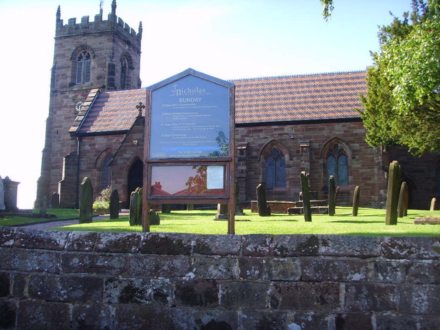
St Nicholas' Church, Codsall

St Nicholas’ Church, Codsall is a Grade II* listed parish church in the Church of England in Codsall == History == The doorway is Norman. The west tower...

Bilbrook, Staffordshire

Bilbrook is a village in the South Staffordshire district of Staffordshire, England. It is situated close to the border of the West Midlands, just outside...

Codsall

Codsall is a large village in the South Staffordshire district of Staffordshire, England. It is situated 5 miles northwest of Wolverhampton and 13 miles...

South Staffordshire

South Staffordshire is a local government district in Staffordshire, England. The district lies to the north and west of the West Midlands county, bordering...

Bilbrook railway station

Bilbrook railway station is a railway station which serves the village of Bilbrook in Staffordshire, England. It was known as Birches and Bilbrook Halt...

Birches Bridge

Birches Bridge is an area of Codsall, Staffordshire. It is situated to the northwest of Wolverhampton between Bilbrook and Codsall. == Name and origins... ==

Nearby Amenities

Located within 500m of 52.641683,-2.1767651
Phone
Check Date: 2021-07-26
Emergency: phone
Source: survey
Lat/Long: 52.6430127/-2.1704946
Phone
Check Date: 2021-07-26
Emergency: phone
Source: survey
Lat/Long: 52.6432639/-2.1703631
Power: pole
Lat/Long: 52.6390919/-2.1825096
Power: pole
Lat/Long: 52.6386795/-2.1802976
Power: pole
Lat/Long: 52.638366/-2.1785103
Power: pole
Lat/Long: 52.6380438/-2.1768044
Power: pole
Lat/Long: 52.6376873/-2.174957
Barrier: stile
Bicycle: no
Foot: yes
Horse: no
Motor Vehicle: no
Stile: stepover
Lat/Long: 52.6415573/-2.1703413
Barrier: stile
Bicycle: no
Foot: yes
Horse: no
Motor Vehicle: no
Stile: stepover
Lat/Long: 52.6412612/-2.1712723
Barrier: stile
Bicycle: no
Foot: yes
Horse: no
Motor Vehicle: no
Stile: stepover
Lat/Long: 52.6401403/-2.1752454
Barrier: kissing_gate
Bicycle: no
Foot: yes
Horse: no
Material: steel
Motor Vehicle: no
Lat/Long: 52.6383296/-2.1772905
The data included in this document is from www.openstreetmap.org. The data is made available under ODbL.

Have you been to Ring Hill Covert?

Leave your review of Ring Hill Covert below (or comments, questions and feedback).