Mean Wood

Wood, Forest in Lancashire

England

Mean Wood

Rochdale Metro station and Mosque in Maclure Road
Rochdale Metro station and Mosque in Maclure Road Credit: Raymond Knapman

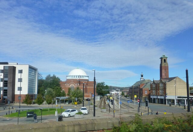
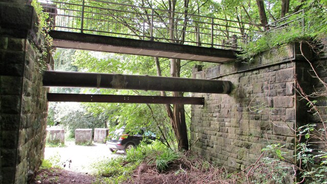
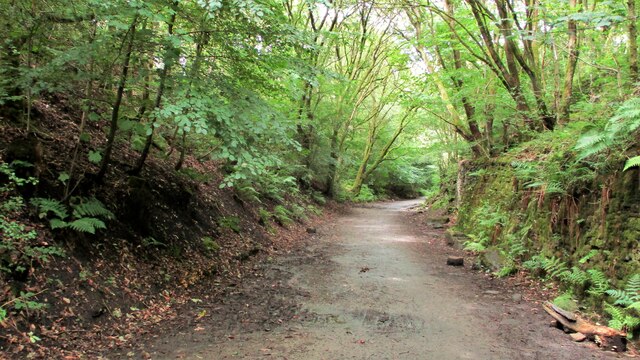
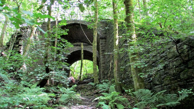
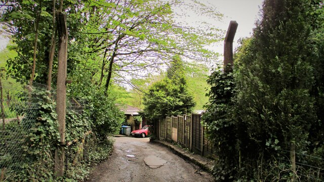
Mean Wood is a small forest located in Lancashire, England. Covering an area of approximately 100 acres, it is situated on the outskirts of the village of Wood. The forest is known for its diverse range of vegetation and is a popular destination for nature enthusiasts and hikers.

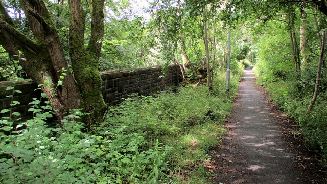
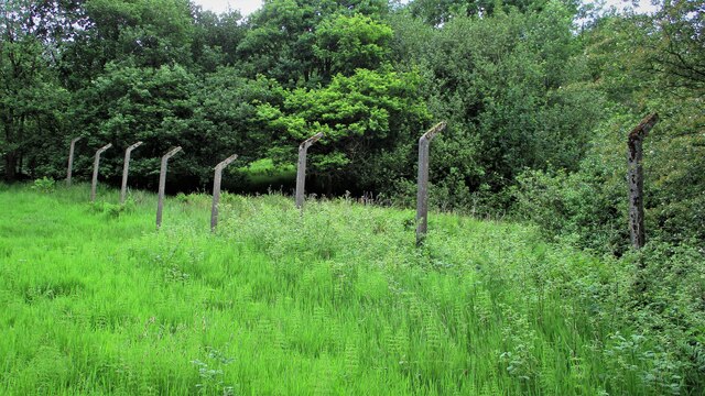
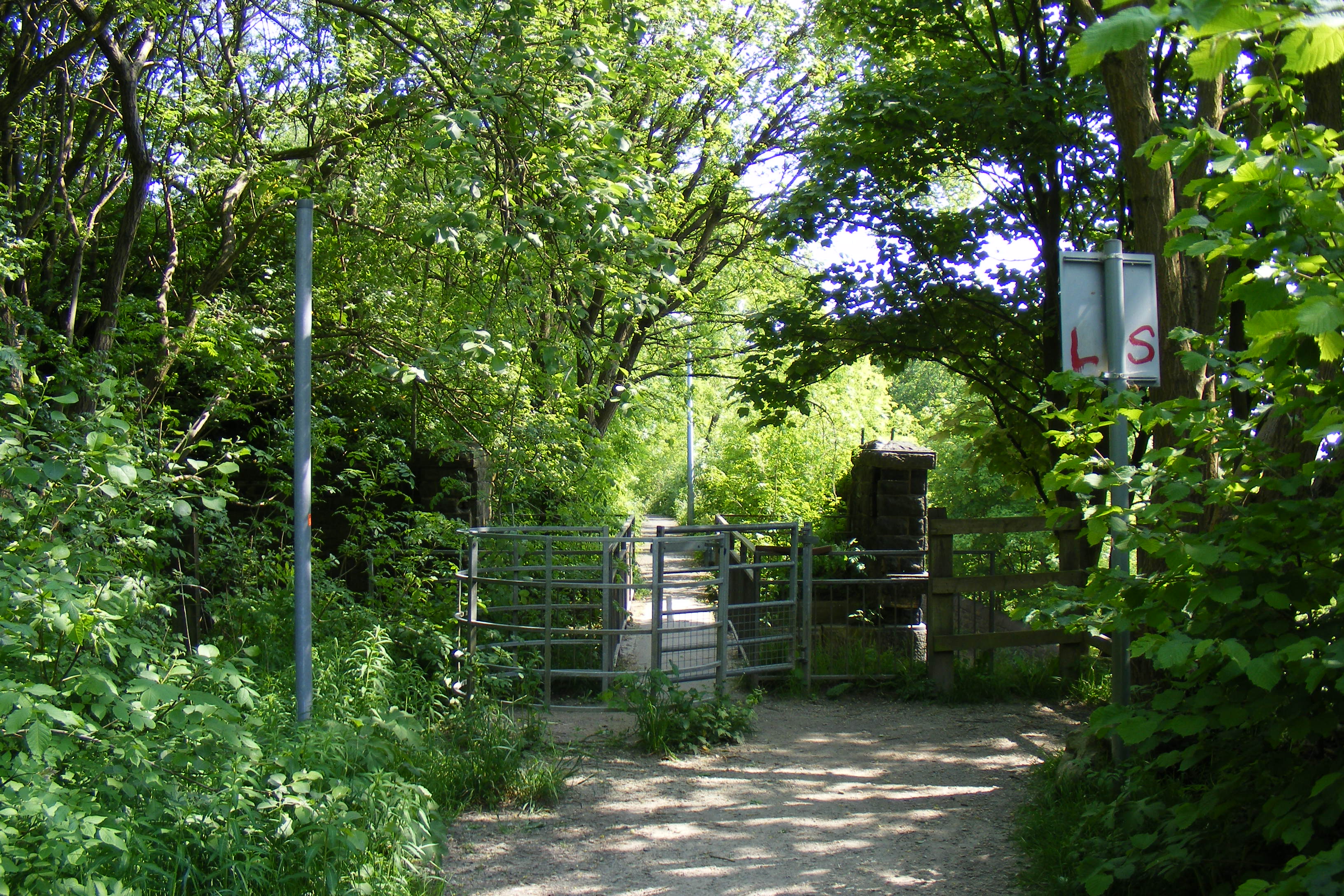
Mean Wood is characterized by its dense canopy of trees, predominantly consisting of oak, beech, and ash. The forest floor is adorned with a variety of wildflowers, ferns, and mosses, creating a vibrant and picturesque landscape. The wood is also home to a rich array of wildlife, including deer, foxes, badgers, and numerous species of birds.

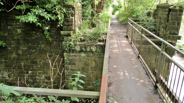
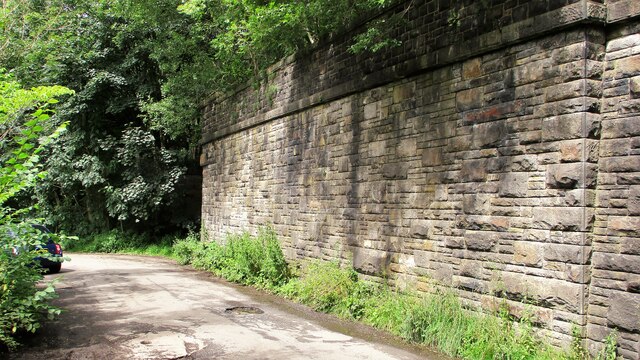
The forest offers a network of well-marked trails and paths, allowing visitors to explore its natural beauty. These trails cater to different skill levels, ranging from easy walks for families to more challenging routes for experienced hikers. Along the way, visitors can enjoy the tranquil atmosphere and immerse themselves in the sights and sounds of nature.

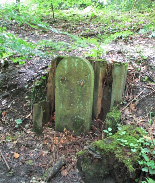
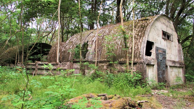
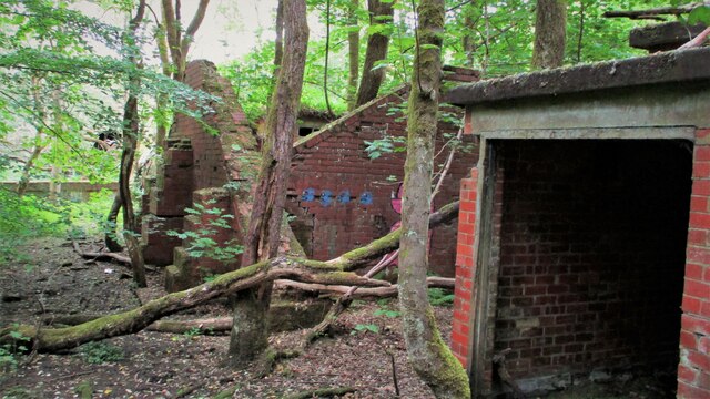
Mean Wood has a long history, with evidence of human activity dating back centuries. It has served various purposes over the years, including timber production and as a hunting ground for the local nobility. Today, it is protected as a nature reserve and is managed by the local authorities to ensure its preservation for future generations.

For those seeking a peaceful retreat in the heart of nature, Mean Wood offers a serene and breathtaking experience. Its combination of diverse flora, abundant wildlife, and well-maintained trails make it an ideal destination for outdoor enthusiasts and nature lovers alike.

If you have any feedback on the listing, please let us know in the comments section below.
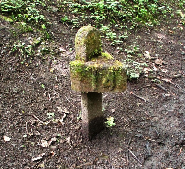
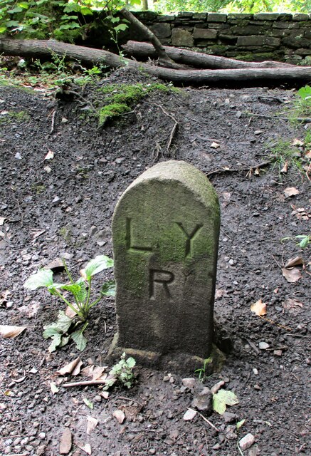
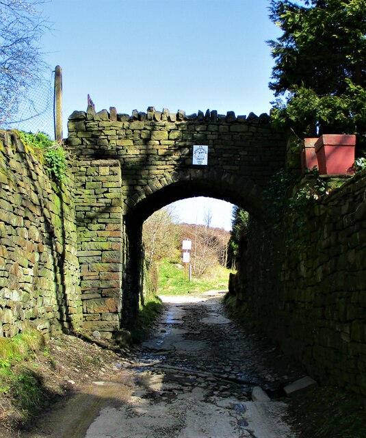
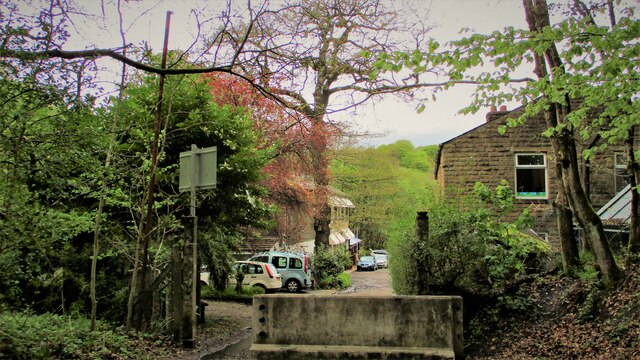
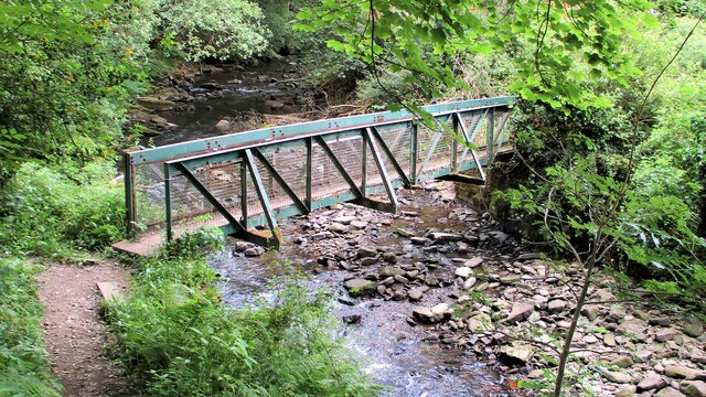
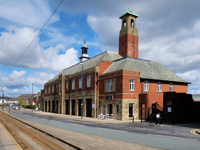
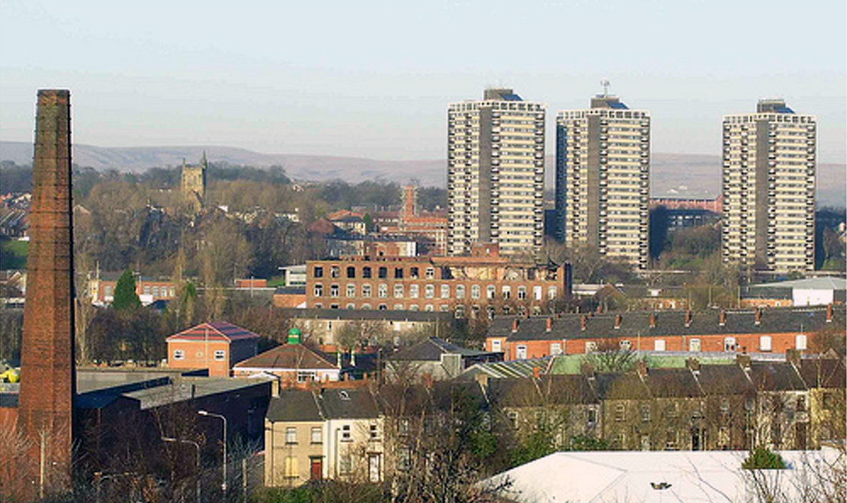
Mean Wood Images

Images are sourced within 2km of 53.624217/-2.1745302 or Grid Reference SD8814. Thanks to Geograph Open Source API. All images are credited.

Rochdale Metro station and Mosque in Maclure Road
Former Rochdale to Bacup Railway Trackbed at Shawclough Start of trail on trackbed with Dell Road retaining wall to the left
Former Rochdale to Bacup Railway Trackbed at Shawclough
Start of trail on trackbed with Dell Road retaining wall to the left
Footbridge replacement for Railway Bridge at Shawclough View towards Rochdale over former Shawclough Station access road
Footbridge replacement for Railway Bridge at Shawclough
View towards Rochdale over former Shawclough Station access road
Retaining Wall for Railway on Dell Road Shawclough Retaining Wall for Rochdale to Bacup Railway, view North
Retaining Wall for Railway on Dell Road Shawclough
Retaining Wall for Rochdale to Bacup Railway, view North
Railway Bridge Abutments at Shawclough Station Access Road Footbridge has replaced original Railway Bridge. Concrete Block barriers stop vehicle entry to Woodland Road from Dell Road
Railway Bridge Abutments at Shawclough Station Access Road
Footbridge has replaced original Railway Bridge. Concrete Block barriers stop vehicle entry to Woodland Road from Dell Road
Former Rochdale to Bacup Railway Trackbed after Shawclough Adverse Gradient after heading North from the former Shawclough Station at Dell Road bridge
Former Rochdale to Bacup Railway Trackbed after Shawclough
Adverse Gradient after heading North from the former Shawclough Station at Dell Road bridge
Siamese Railway Bridges at Healey The original bridge was found to be slipping down the hillside so another was built for the Rochdale to Bacup Railway.
Siamese Railway Bridges at Healey
The original bridge was found to be slipping down the hillside so another was built for the Rochdale to Bacup Railway.
Typical Rochdale/Whitworth Boundary Stone On the former Rochdale to Bacup Railway on the Boundary. The Boundary Stones in this area of Healey Corner had metal plates on the stones all now mainly removed.
This stone is typical but it may not be what it seems.
Typical Rochdale/Whitworth Boundary Stone
On the former Rochdale to Bacup Railway on the Boundary. The Boundary Stones in this area of Healey Corner had metal plates on the stones all now mainly removed. This stone is typical but it may not be what it seems.
Milestone 14 on Rochdale to Bacup Railway Close to Rochdale/Whitworth Boundary on former Railway Trackbed
Milestone 14 on Rochdale to Bacup Railway
Close to Rochdale/Whitworth Boundary on former Railway Trackbed
LYR Boundary Stone This stone is close to the former railway trackbed so may be re-positioned. South of Dell Road access to Healey Dell Viaduct.
LYR Boundary Stone
This stone is close to the former railway trackbed so may be re-positioned. South of Dell Road access to Healey Dell Viaduct.
Private Footbridge over Ending Rake Footbridge for Mount Ending residence where Ending Rake goes on to the moorland.
Private Footbridge over Ending Rake
Footbridge for Mount Ending residence where Ending Rake goes on to the moorland.
Modern & WWII Pole Barriers Modern concrete block across Dell Road and WWII pole barrier still surviving from when the mill beyond was a munitions filling factory.
Modern & WWII Pole Barriers
Modern concrete block across Dell Road and WWII pole barrier still surviving from when the mill beyond was a munitions filling factory.
Dell Road North entrance to former WWII ROF Site MoD fencing poles mark entrance to former WWII munitions filling factory site in Healey Hall Mill
Dell Road North entrance to former WWII ROF Site
MoD fencing poles mark entrance to former WWII munitions filling factory site in Healey Hall Mill
Former WWII Fencing at ROF Healey Hall Mill WWII fencing remains on boundary of former munitions filling factory on West bank of River Spodden.
Former WWII Fencing at ROF Healey Hall Mill
WWII fencing remains on boundary of former munitions filling factory on West bank of River Spodden.
Former WWII Munitions Filling Site Nissen Hut One of the several huts which are extra long on the Healey Hall mills site
Former WWII Munitions Filling Site Nissen Hut
One of the several huts which are extra long on the Healey Hall mills site
Former WWII Munitions Filling Factory Buildings What appears to be a blast wall is visible in this complex at Healey Hall Mill site
Former WWII Munitions Filling Factory Buildings
What appears to be a blast wall is visible in this complex at Healey Hall Mill site
Footbridge across River Spodden Footpath links Healey Dell with Smallshaw Farm
Footbridge across River Spodden
Footpath links Healey Dell with Smallshaw Farm
The Old Fire Station (Fireground Museum) The old Fire Brigade Station on Maclure Road dates from 1933 (<a href="https://www.geograph.org.uk/photo/3693544">SD8912 : Fire Brigade Station Detail</a>). It became redundant when new premises were built near Halifax Road. (<span class="nowrap"><a title="http://web.archive.org/web/20130716033038/http://www.manchesterfire.gov.uk/my_area/rochdale/rochdale_new_build.aspx" rel="nofollow ugc noopener" href="http://web.archive.org/web/20130716033038/http://www.manchesterfire.gov.uk/my_area/rochdale/rochdale_new_build.aspx">Archive Link</a><img style="margin-left:2px;" alt="External link" title="External link - shift click to open in new window" src="https://s1.geograph.org.uk/img/external.png" width="10" height="10"/></span>  Greater Manchester Fire and Rescue Services)

It is now the home of the Fireground museum <span class="nowrap"><a title="https://www.fireground.org.uk/" rel="nofollow ugc noopener" href="https://www.fireground.org.uk/">Link</a><img style="margin-left:2px;" alt="External link" title="External link - shift click to open in new window" src="https://s1.geograph.org.uk/img/external.png" width="10" height="10"/></span>
The Old Fire Station (Fireground Museum)
The old Fire Brigade Station on Maclure Road dates from 1933 (SD8912 : Fire Brigade Station Detail). It became redundant when new premises were built near Halifax Road. (Archive LinkExternal link Greater Manchester Fire and Rescue Services) It is now the home of the Fireground museum LinkExternal link
Show me another place!

Mean Wood is located at Grid Ref: SD8814 (Lat: 53.624217, Lng: -2.1745302)

Unitary Authority: Rochdale

Police Authority: Greater Manchester

What 3 Words

///toast.descended.stay. Near Rochdale, Manchester

Related Wikis

Falinge Park High School

Falinge Park High School is an 11–16 mixed comprehensive school in Shawclough area of the Metropolitan Borough of Rochdale in Greater Manchester, United...
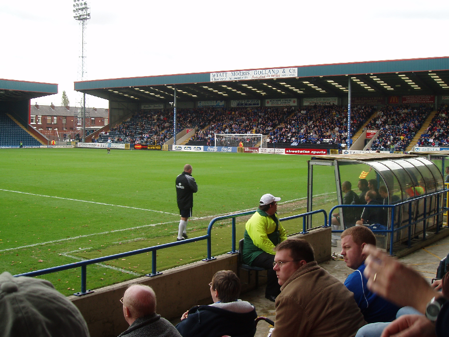
Spotland Stadium

Spotland Stadium, known as the Crown Oil Arena for sponsorship reasons, is a multi-purpose sports stadium in the Spotland area of Rochdale, Greater Manchester...

Shawclough

Shawclough is a mainly residential area north of Rochdale, Greater Manchester, England. Its boundaries are roughly Whitworth Road, Shawclough Road, and...

Falinge Park

Falinge Park is a Grade II listed public park located in Rochdale, Greater Manchester. Opened to the public in 1906, it lies in the historic grounds of...

Spotland

Spotland ( SPOT-land) is a district of Rochdale in Greater Manchester, England. The Rochdale ward name is Spotland and Falinge. The population of this...

St Edmund's Church, Rochdale

Saint Edmund's Church (or the Church of Saint Edmund) is a redundant church building located on Clement Royds Street in the Falinge area of Rochdale, in...

Shawclough and Healey railway station

Shawclough & Healey railway station served the townships of Shawclough and Healey in Rochdale, in the Metropolitan Borough of Rochdale in Greater Manchester...

Rochdale Infirmary

Rochdale Infirmary is an acute general hospital in Rochdale, Greater Manchester, England. It is managed by the Northern Care Alliance NHS Foundation Trust...

Nearby Amenities

Located within 500m of 53.624217,-2.1745302
Spotland Bridge
Place: suburb
Source: npe
Lat/Long: 53.6208909/-2.1752997
Shawclough
Place: suburb
Source: npe
Lat/Long: 53.6277436/-2.170576
Mini Roundabout
Direction: clockwise
Lat/Long: 53.6213657/-2.1747434
Bus Stop
Ings Lane/Rooley Moor Road
Bus: yes
Naptan AtcoCode: 1800NE01591
Naptan Bearing: S
Naptan CommonName: Ings Lane/Rooley Moor Road
Naptan Indicator: Op Recreation G
Naptan Landmark: HOUSE 84
Naptan NaptanCode: mandwdma
Naptan PlusbusZoneRef: MNCRPIC
Naptan ShortCommonName: Rooley Moor Road
Naptan Street: INGS LANE
Naptan Verified: no
Network: TfGM
Public Transport: platform
Source: naptan_import
Lat/Long: 53.6254635/-2.1818056
Bus Stop
Mellor Street/Spotland Road
Bus: yes
Naptan AtcoCode: 1800NE02691
Naptan Bearing: SE
Naptan CommonName: Mellor Street/Spotland Road
Naptan Indicator: Nr Lorne Stewts
Naptan Landmark: NR LORNE STEWTS
Naptan NaptanCode: mandwgdp
Naptan PlusbusZoneRef: MNCRPIC
Naptan ShortCommonName: Spotland Road
Naptan Street: MELLOR STREET
Naptan Verified: no
Network: TfGM
Public Transport: platform
Source: naptan_import
Lat/Long: 53.6203968/-2.1738467
Bus Stop
Ings Lane/Spotland Library
Bus: yes
Naptan AtcoCode: 1800NE21901
Naptan Bearing: S
Naptan CommonName: Ings Lane/Spotland Library
Naptan Indicator: Spotland Libr'y
Naptan Landmark: LIBRARY
Naptan NaptanCode: mangagpw
Naptan PlusbusZoneRef: MNCRPIC
Naptan ShortCommonName: Spotland Library
Naptan Street: INGS LANE
Naptan Verified: no
Network: TfGM
Public Transport: platform
Source: naptan_import
Lat/Long: 53.6227316/-2.1813705
Bus Stop
Spotland Road/Hinchcliffe Street
Bus: yes
Naptan AtcoCode: 1800NE25651
Naptan Bearing: E
Naptan CommonName: Spotland Road/Hinchcliffe Street
Naptan Indicator: Carters Rest
Naptan Landmark: PROPERTY 190
Naptan NaptanCode: mangapwd
Naptan PlusbusZoneRef: MNCRPIC
Naptan ShortCommonName: Hinchcliffe St
Naptan Street: SPOTLAND ROAD
Naptan Verified: no
Network: TfGM
Public Transport: platform
Source: naptan_import
Lat/Long: 53.6204375/-2.170551
Bus Stop
Spotland Road/Hinchcliffe Street
Bus: yes
Naptan AtcoCode: 1800NE25661
Naptan Bearing: W
Naptan CommonName: Spotland Road/Hinchcliffe Street
Naptan Indicator: Op House 190
Naptan Landmark: OP HOUSE 190
Naptan NaptanCode: mangapwg
Naptan PlusbusZoneRef: MNCRPIC
Naptan ShortCommonName: Hinchcliffe Stree
Naptan Street: SPOTLAND ROAD
Naptan Verified: no
Network: TfGM
Public Transport: platform
Source: naptan_import
Lat/Long: 53.6203471/-2.1709135
Bus Stop
Spotland Road/Spotland Bridge
Bus: yes
Naptan AtcoCode: 1800NE25671
Naptan Bearing: E
Naptan CommonName: Spotland Road/Spotland Bridge
Naptan Indicator: Waste Ground
Naptan Landmark: PROPERTY 242
Naptan NaptanCode: mangapwj
Naptan PlusbusZoneRef: MNCRPIC
Naptan ShortCommonName: Spotland Bridge
Naptan Street: Spotland Road
Naptan Verified: no
Network: TfGM
Public Transport: platform
Source: naptan_import
Lat/Long: 53.6210255/-2.174197
Bus Stop
Rooley Moor Road/Spotland Bridge
Bus: yes
Naptan AtcoCode: 1800NE25681
Naptan Bearing: NW
Naptan CommonName: Rooley Moor Road/Spotland Bridge
Naptan Indicator: Hurst Hill H'tl
Naptan Landmark: House 2
Naptan NaptanCode: mangapwm
Naptan PlusbusZoneRef: MNCRPIC
Naptan ShortCommonName: Spotland Bridge
Naptan Street: Rooley Moor Road
Naptan Verified: no
Network: TfGM
Public Transport: platform
Source: naptan_import
Lat/Long: 53.6217883/-2.1750317
Bus Stop
Edenfield Road/Churchill Street
Bus: yes
Naptan AtcoCode: 1800NE48751
Naptan Bearing: W
Naptan CommonName: Edenfield Road/Churchill Street
Naptan Indicator: O/s House 99
Naptan Landmark: HOUSE 99
Naptan NaptanCode: mangdwdp
Naptan PlusbusZoneRef: MNCRPIC
Naptan ShortCommonName: Churchill Street
Naptan Street: EDENFIELD ROAD
Naptan Verified: no
Network: TfGM
Public Transport: platform
Source: naptan_import
Lat/Long: 53.6225016/-2.1789051
Bus Stop
Edenfield Road/Churchill Street
Bus: yes
Naptan AtcoCode: 1800NE48761
Naptan Bearing: E
Naptan CommonName: Edenfield Road/Churchill Street
Naptan Indicator: O/s House 72
Naptan Landmark: HOUSE 72
Naptan NaptanCode: mangdwdt
Naptan PlusbusZoneRef: MNCRPIC
Naptan ShortCommonName: Churchill Street
Naptan Street: EDENFIELD ROAD
Naptan Verified: no
Network: TfGM
Public Transport: platform
Source: naptan_import
Lat/Long: 53.6226451/-2.1791325
Bus Stop
Edenfield Road/Spotland Bridge
Bus: yes
Naptan AtcoCode: 1800NE48771
Naptan Bearing: W
Naptan CommonName: Edenfield Road/Spotland Bridge
Naptan Indicator: Op Restaurant
Naptan Landmark: HOUSE 2
Naptan NaptanCode: mangdwdw
Naptan PlusbusZoneRef: MNCRPIC
Naptan ShortCommonName: Spotland Bridge
Naptan Street: EDENFIELD ROAD
Naptan Verified: no
Network: TfGM
Public Transport: platform
Source: naptan_import
Lat/Long: 53.6213386/-2.1752112
Bus Stop
Rooley Moor Road/Post Office
Bench: yes
Bus: yes
Naptan AtcoCode: 1800NE48781
Naptan Bearing: SE
Naptan CommonName: Rooley Moor Road/Post Office
Naptan Indicator: O/s House 70
Naptan Landmark: HOUSE 70
Naptan NaptanCode: mangdwga
Naptan PlusbusZoneRef: MNCRPIC
Naptan ShortCommonName: Post Office
Naptan Street: Rooley Moor Road
Naptan Verified: no
Network: TfGM
Public Transport: platform
Shelter: yes
Source: naptan_import
Tactile Paving: no
Lat/Long: 53.6235935/-2.1760521
Bus Stop
Rooley Moor Road/Post Office
Bench: no
Bus: yes
Naptan AtcoCode: 1800NE48791
Naptan Bearing: NW
Naptan CommonName: Rooley Moor Road/Post Office
Naptan Indicator: O/s House 83
Naptan Landmark: HOUSE 81
Naptan NaptanCode: mangdwgd
Naptan PlusbusZoneRef: MNCRPIC
Naptan ShortCommonName: Post Office
Naptan Street: Rooley Moor Road
Naptan Verified: no
Network: TfGM
Public Transport: platform
Shelter: yes
Source: naptan_import
Tactile Paving: no
Lat/Long: 53.6237458/-2.1763703
Bus Stop
Rooley Moor Road/Spotland Church
Bus: yes
Naptan AtcoCode: 1800NE48801
Naptan Bearing: NW
Naptan CommonName: Rooley Moor Road/Spotland Church
Naptan Indicator: Church
Naptan Landmark: CHURCH
Naptan NaptanCode: mangdwgj
Naptan PlusbusZoneRef: MNCRPIC
Naptan ShortCommonName: Spotland Church
Naptan Street: Rooley Moor Road
Naptan Verified: no
Network: TfGM
Public Transport: platform
Source: naptan_import
Lat/Long: 53.6248956/-2.1768892
Bus Stop
Rooley Moor Road/Spotland Church
Bus: yes
Naptan AtcoCode: 1800NE48811
Naptan Bearing: SE
Naptan CommonName: Rooley Moor Road/Spotland Church
Naptan Indicator: Nr Church
Naptan Landmark: FLATS 140-144
Naptan NaptanCode: mangdwgm
Naptan PlusbusZoneRef: MNCRPIC
Naptan ShortCommonName: Spotland Church
Naptan Street: Rooley Moor Road
Naptan Verified: no
Network: TfGM
Public Transport: platform
Source: naptan_import
Lat/Long: 53.6252551/-2.1768907
Bus Stop
Rooley Moor Road/Churchill Street
Bus: yes
Naptan AtcoCode: 1800NE48831
Naptan Bearing: W
Naptan CommonName: Rooley Moor Road/Churchill Street
Naptan Indicator: Op Openland
Naptan Landmark: PROPERTY 223
Naptan NaptanCode: mangdwgt
Naptan PlusbusZoneRef: MNCRPIC
Naptan ShortCommonName: Churchill Street
Naptan Street: Rooley Moor Road
Naptan Verified: no
Network: TfGM
Public Transport: platform
Source: naptan_import
Lat/Long: 53.6262041/-2.1794349
Bus Stop
Falinge Road/Falinge High School
Bus: yes
Naptan AtcoCode: 1800NE12451
Naptan Bearing: NW
Naptan CommonName: Falinge Road/Falinge High School
Naptan Indicator: Sch Turning Cir
Naptan Landmark: SCH TURNING CIR
Naptan NaptanCode: mandwpwm
Naptan PlusbusZoneRef: MNCRPIC
Naptan ShortCommonName: Falinge HS
Naptan Street: School Layby
Naptan Verified: no
Network: TfGM
Public Transport: platform
Source: naptan_import
Lat/Long: 53.6255818/-2.1684852
Bus Stop
Falinge Road/Falinge High School
Bus: yes
Naptan AtcoCode: 1800NE12461
Naptan Bearing: S
Naptan CommonName: Falinge Road/Falinge High School
Naptan Indicator: School Opp
Naptan Landmark: Manor Mews
Naptan NaptanCode: mandwpwp
Naptan PlusbusZoneRef: MNCRPIC
Naptan ShortCommonName: Falinge HS
Naptan Street: FALINGE ROAD
Naptan Verified: no
Network: TfGM
Public Transport: platform
Source: naptan_import
Lat/Long: 53.6254384/-2.1682275
Turning Circle
Lat/Long: 53.6256203/-2.180226
Mini Roundabout
Direction: clockwise
Lat/Long: 53.6208175/-2.1740722
Waterway: weir
Lat/Long: 53.6255737/-2.1741346
Turning Circle
Source: bing
Lat/Long: 53.6240949/-2.1753762
Barrier: block
Bicycle: yes
Foot: yes
Motor Vehicle: no
Lat/Long: 53.6263139/-2.1793869
Generator Method: photovoltaic
Generator Output Electricity: yes
Generator Source: solar
Generator Type: solar_photovoltaic_panel
Location: roof
Power: generator
Lat/Long: 53.6215691/-2.1749494
Generator Method: photovoltaic
Generator Output Electricity: yes
Generator Source: solar
Generator Type: solar_photovoltaic_panel
Location: roof
Power: generator
Lat/Long: 53.6215468/-2.1750325
Generator Method: photovoltaic
Generator Output Electricity: yes
Generator Source: solar
Generator Type: solar_photovoltaic_panel
Location: roof
Power: generator
Lat/Long: 53.6246841/-2.1778045
Generator Method: photovoltaic
Generator Output Electricity: yes
Generator Source: solar
Generator Type: solar_photovoltaic_panel
Location: roof
Power: generator
Lat/Long: 53.6247557/-2.1776462
Generator Method: photovoltaic
Generator Output Electricity: yes
Generator Source: solar
Generator Type: solar_photovoltaic_panel
Location: roof
Power: generator
Lat/Long: 53.6245982/-2.177209
Generator Method: photovoltaic
Generator Output Electricity: yes
Generator Source: solar
Generator Type: solar_photovoltaic_panel
Location: roof
Power: generator
Lat/Long: 53.6245139/-2.1778259
Generator Method: photovoltaic
Generator Output Electricity: yes
Generator Source: solar
Generator Type: solar_photovoltaic_panel
Location: roof
Power: generator
Lat/Long: 53.6244693/-2.1777696
Generator Method: photovoltaic
Generator Output Electricity: yes
Generator Source: solar
Generator Type: solar_photovoltaic_panel
Location: roof
Power: generator
Lat/Long: 53.6243962/-2.1777187
Generator Method: photovoltaic
Generator Output Electricity: yes
Generator Source: solar
Generator Type: solar_photovoltaic_panel
Location: roof
Power: generator
Lat/Long: 53.6247283/-2.1774416
Generator Method: photovoltaic
Generator Output Electricity: yes
Generator Source: solar
Generator Type: solar_photovoltaic_panel
Location: roof
Power: generator
Lat/Long: 53.6247053/-2.1777742
Generator Method: photovoltaic
Generator Output Electricity: yes
Generator Source: solar
Generator Type: solar_photovoltaic_panel
Location: roof
Power: generator
Lat/Long: 53.622704/-2.1791851
Generator Method: photovoltaic
Generator Output Electricity: yes
Generator Source: solar
Generator Type: solar_photovoltaic_panel
Location: roof
Power: generator
Lat/Long: 53.6284692/-2.1721014
Generator Method: photovoltaic
Generator Output Electricity: yes
Generator Source: solar
Generator Type: solar_photovoltaic_panel
Location: roof
Power: generator
Lat/Long: 53.6281797/-2.1728431
S. Wellens & Sons Ltd
Addr City: Rochdale
Addr Housenumber: 225
Addr Postcode: OL12 7AG
Addr Street: Spotland Road
Opening Hours: Mo-Fr 09:00-17:00; Sa 09:00-12:00
Phone: +44 1706 869995
Shop: funeral_directors
Website: https://www.swellens.co.uk
Lat/Long: 53.6202215/-2.1724952
Barrier: bollard
Motor Vehicle: no
Lat/Long: 53.6224294/-2.1678561
Crossing
Crossing: unmarked
Lat/Long: 53.6226173/-2.1785375
The data included in this document is from www.openstreetmap.org. The data is made available under ODbL.

Have you been to Mean Wood?

Leave your review of Mean Wood below (or comments, questions and feedback).