Shawclough
Settlement in Lancashire
England
Shawclough
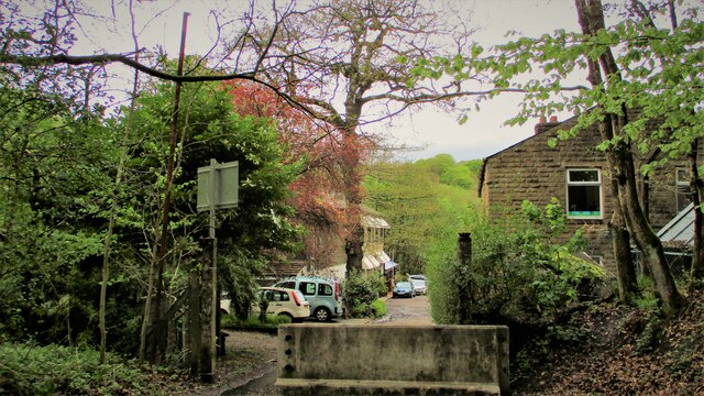
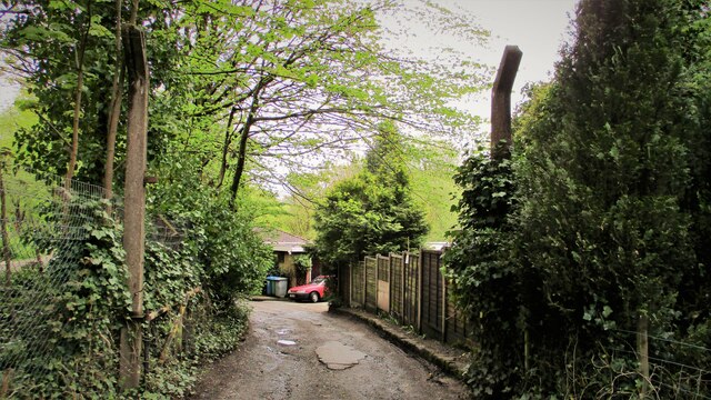
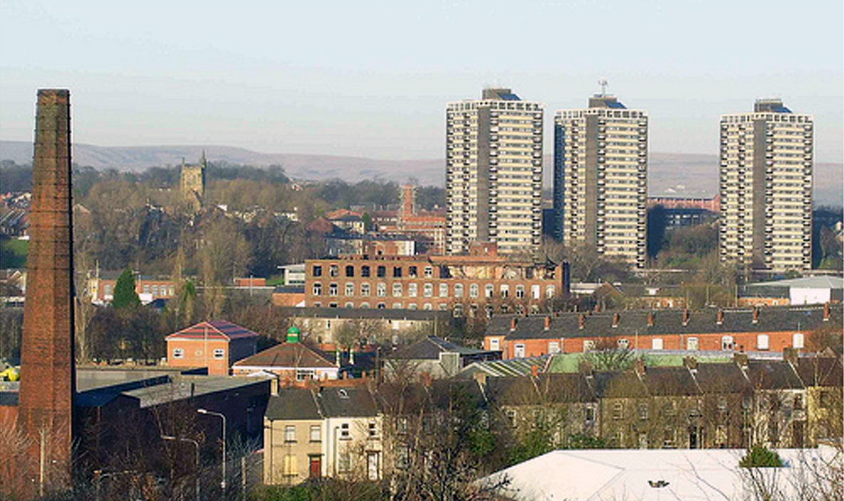
Shawclough is a small residential area located in the borough of Rochdale, within the county of Lancashire, England. It is situated on the outskirts of Rochdale town center, approximately 2 miles north of the city center. The area is predominantly residential, characterized by a mix of housing styles, including semi-detached houses, terraced properties, and some modern developments.
Shawclough benefits from its close proximity to various amenities and facilities. Within the immediate area, there are several local shops, convenience stores, and a small supermarket, providing residents with easy access to everyday essentials. The nearby town of Rochdale offers a wider range of services, including larger supermarkets, shopping centers, and recreational facilities.
The area is well-connected in terms of transportation, with regular bus services running through Shawclough, providing links to Rochdale town center and surrounding areas. The Rochdale railway station, located less than 2 miles away, offers further transportation options, with direct train services to Manchester and other major cities in the region.
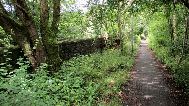
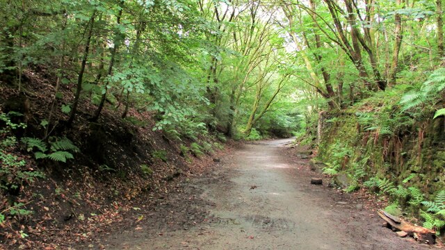
Shawclough is surrounded by green spaces, including Broadfield Park and Healey Dell Nature Reserve, providing residents with opportunities for outdoor activities and leisure pursuits. The area is also home to a number of schools, making it an attractive location for families with children.
Overall, Shawclough offers a peaceful residential environment, with convenient access to amenities, good transportation links, and natural beauty spots nearby.
If you have any feedback on the listing, please let us know in the comments section below.
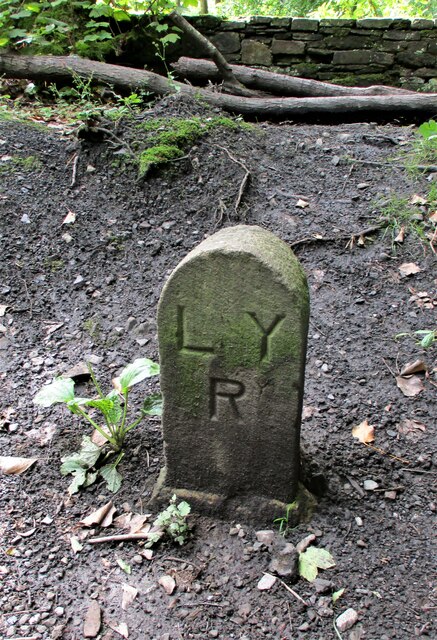
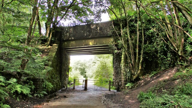
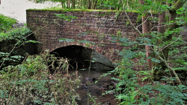
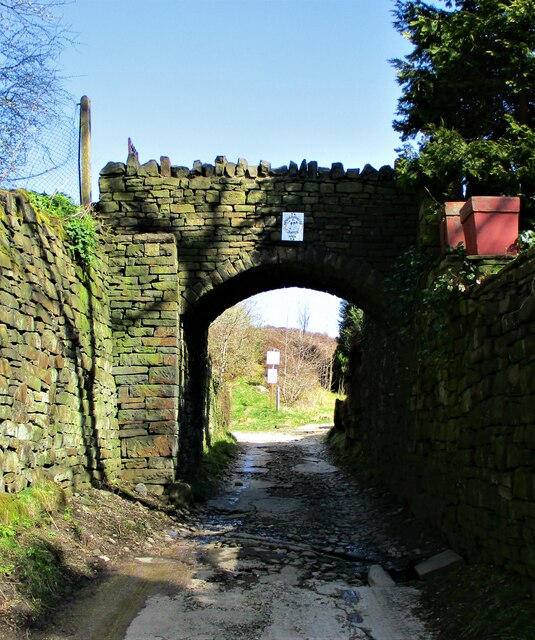
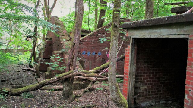
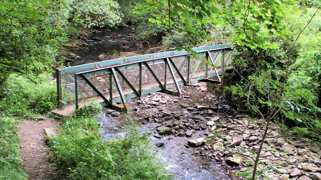
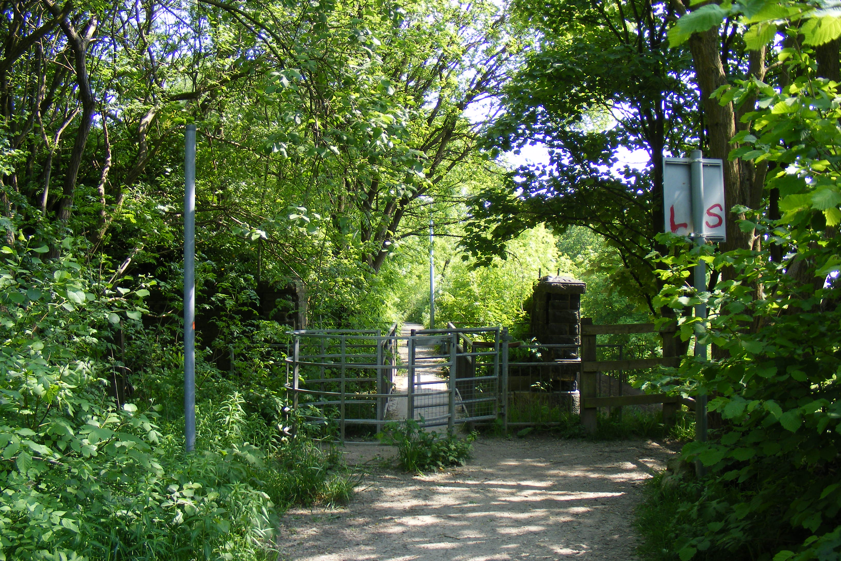
Shawclough Images
Images are sourced within 2km of 53.628699/-2.173105 or Grid Reference SD8814. Thanks to Geograph Open Source API. All images are credited.
Shawclough is located at Grid Ref: SD8814 (Lat: 53.628699, Lng: -2.173105)
Unitary Authority: Rochdale
Police Authority: Greater Manchester
What 3 Words
///luck.liability.bond. Near Rochdale, Manchester
Nearby Locations
Related Wikis

Shawclough
Shawclough is a mainly residential area north of Rochdale, Greater Manchester, England. Its boundaries are roughly Whitworth Road, Shawclough Road, and...
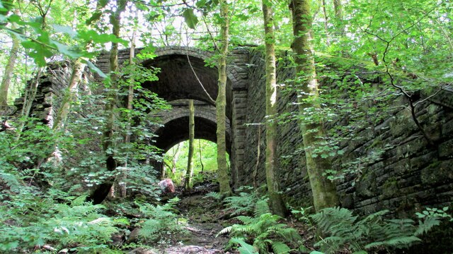
Shawclough and Healey railway station
Shawclough & Healey railway station served the townships of Shawclough and Healey in Rochdale, in the Metropolitan Borough of Rochdale in Greater Manchester...

Falinge Park High School
Falinge Park High School is an 11–16 mixed comprehensive school in Shawclough area of the Metropolitan Borough of Rochdale in Greater Manchester, United...

Falinge Park
Falinge Park is a Grade II listed public park located in Rochdale, Greater Manchester. Opened to the public in 1906, it lies in the historic grounds of...
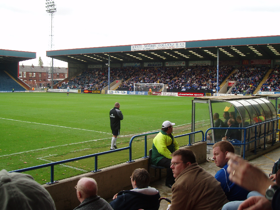
Spotland Stadium
Spotland Stadium, known as the Crown Oil Arena for sponsorship reasons, is a multi-purpose sports stadium in the Spotland area of Rochdale, Greater Manchester...

St Edmund's Church, Rochdale
Saint Edmund's Church (or the Church of Saint Edmund) is a redundant church building located on Clement Royds Street in the Falinge area of Rochdale, in...

Rochdale Infirmary
Rochdale Infirmary is an acute general hospital in Rochdale, Greater Manchester, England. It is managed by the Northern Care Alliance NHS Foundation Trust...
Spotland
Spotland ( SPOT-land) is a district of Rochdale in Greater Manchester, England. The Rochdale ward name is Spotland and Falinge. The population of this...
Nearby Amenities
Located within 500m of 53.628699,-2.173105Have you been to Shawclough?
Leave your review of Shawclough below (or comments, questions and feedback).