Foot Wood
Wood, Forest in Lancashire
England
Foot Wood
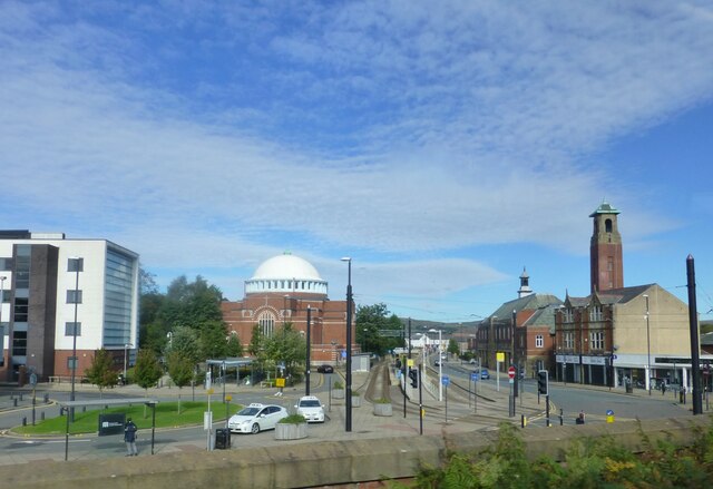
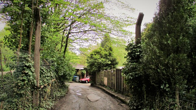
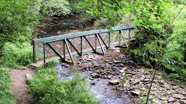
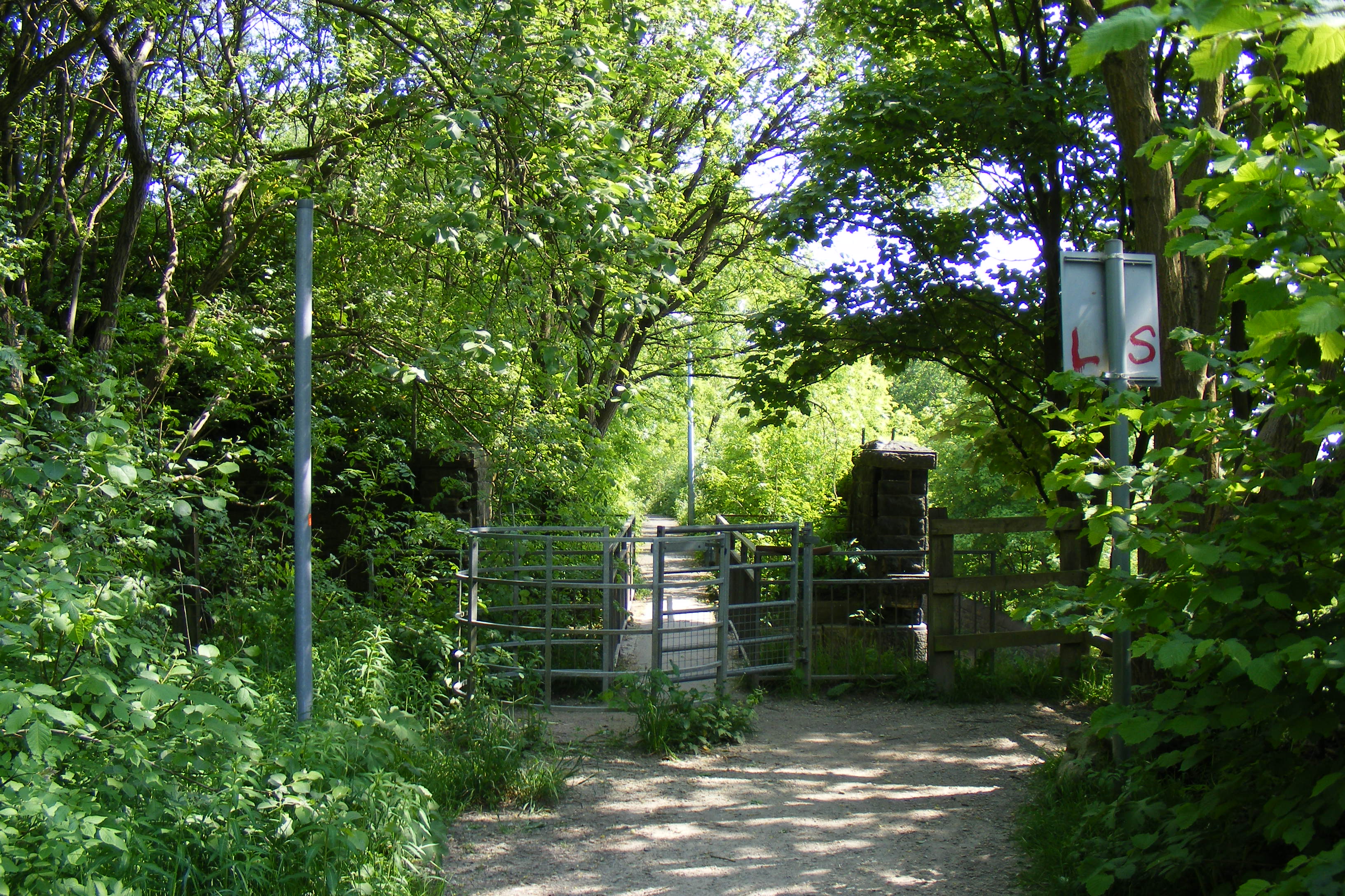
Foot Wood is a picturesque forest located in Lancashire, England. Covering an area of approximately 200 acres, this woodland is a tranquil haven for nature enthusiasts and those seeking a peaceful retreat. The forest is situated in the heart of Lancashire, near the village of Wood, and is easily accessible by foot or car.
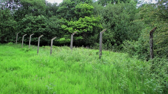
The wood boasts a diverse range of flora and fauna, making it a popular spot for wildlife enthusiasts. Ancient oak and beech trees dominate the landscape, creating a dense canopy that provides shade and shelter for a variety of bird species. Visitors may also spot squirrels, rabbits, and deer roaming freely within the woodland.
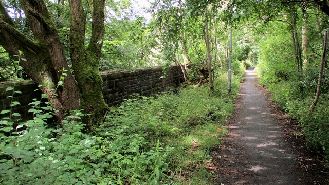
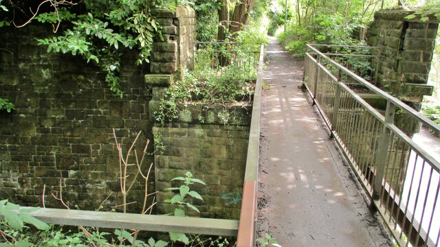
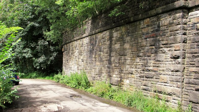
Tranquil walking trails wind their way through the forest, allowing visitors to immerse themselves in nature and discover the hidden gems within Foot Wood. These paths are well-maintained and suitable for all ages and fitness levels, making it an ideal destination for families and individuals alike.
The forest also offers a range of recreational activities for visitors. Picnic areas are scattered throughout Foot Wood, providing the perfect spot to enjoy a leisurely lunch amidst the natural beauty. Additionally, there are designated areas for camping and barbecues, allowing visitors to extend their stay and make the most of their time in this enchanting woodland.
Overall, Foot Wood in Lancashire is a delightful destination that offers a peaceful escape from the hustle and bustle of everyday life. With its diverse wildlife, scenic walking trails, and recreational facilities, it is a must-visit for nature lovers and those seeking tranquility in the heart of England.
If you have any feedback on the listing, please let us know in the comments section below.
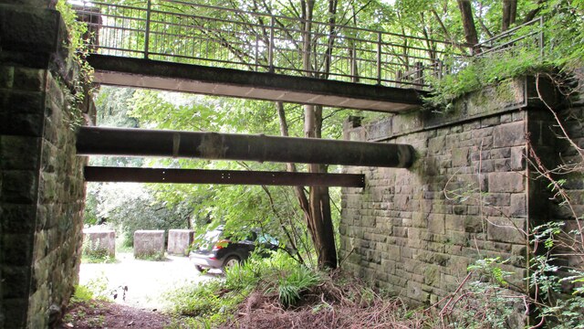
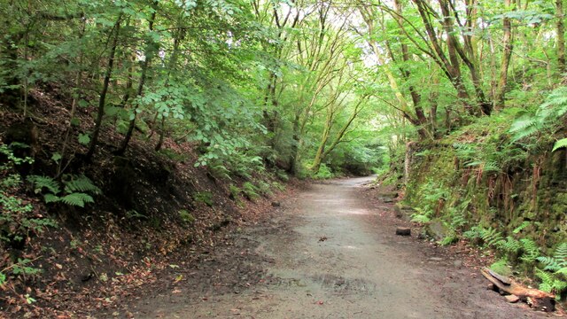
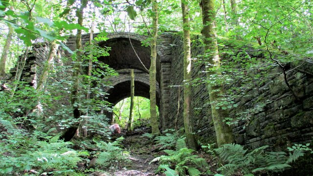
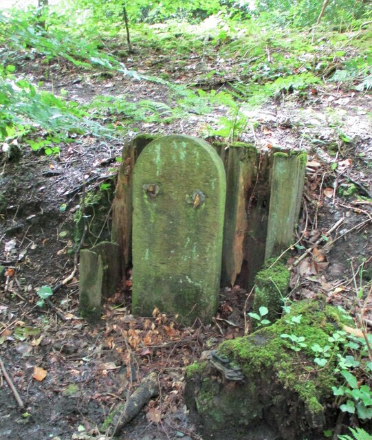
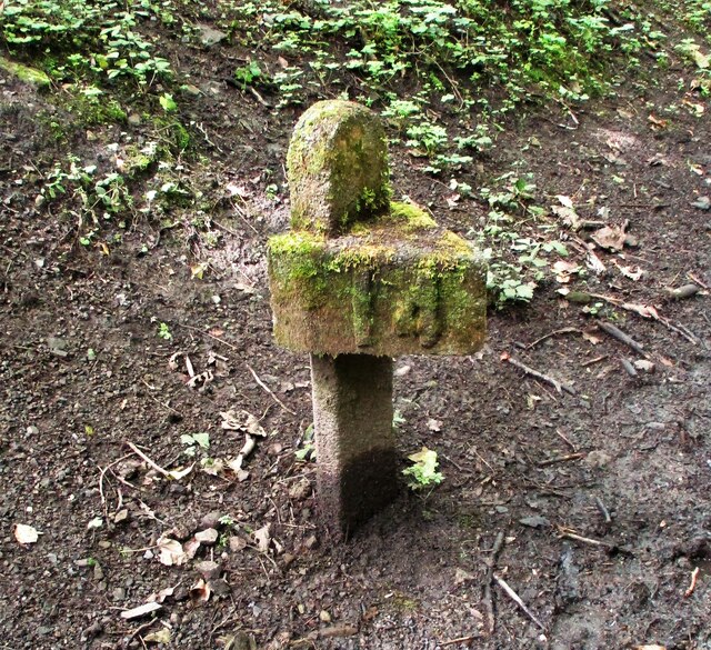
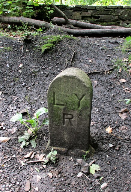
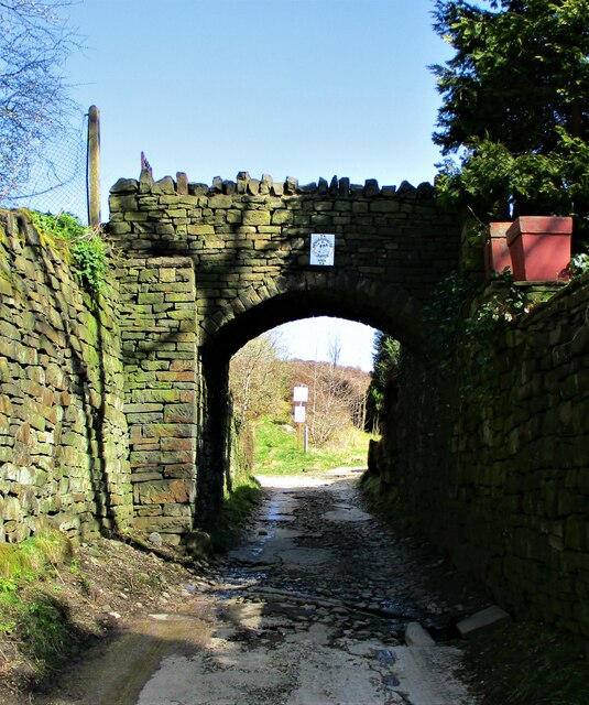
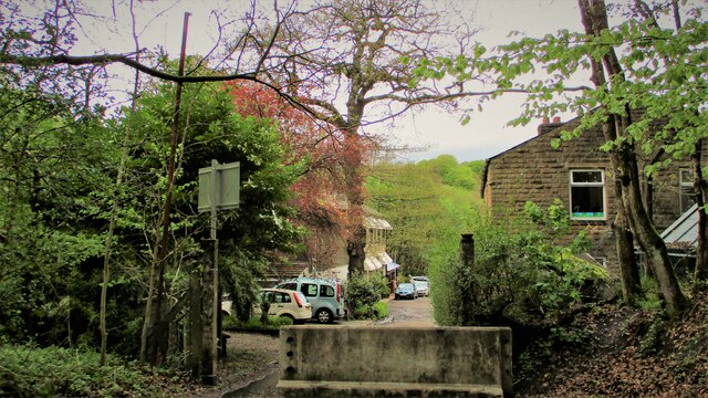
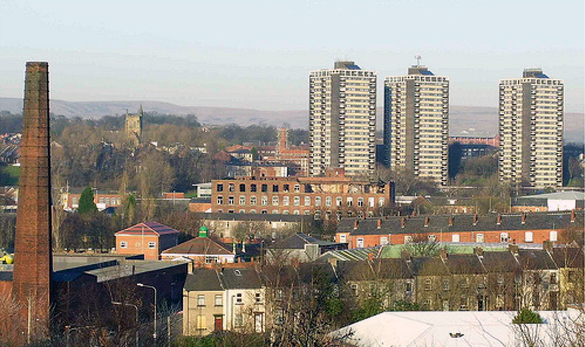
Foot Wood Images
Images are sourced within 2km of 53.625345/-2.1715713 or Grid Reference SD8814. Thanks to Geograph Open Source API. All images are credited.
Foot Wood is located at Grid Ref: SD8814 (Lat: 53.625345, Lng: -2.1715713)
Unitary Authority: Rochdale
Police Authority: Greater Manchester
What 3 Words
///friend.pans.raced. Near Rochdale, Manchester
Nearby Locations
Related Wikis

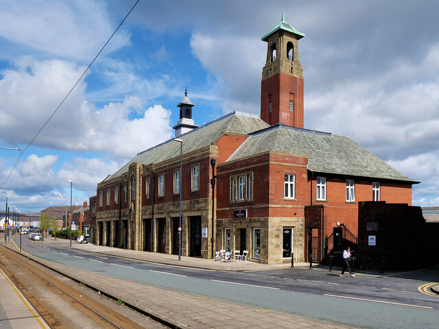
Falinge Park High School
Falinge Park High School is an 11–16 mixed comprehensive school in Shawclough area of the Metropolitan Borough of Rochdale in Greater Manchester, United...

Shawclough
Shawclough is a mainly residential area north of Rochdale, Greater Manchester, England. Its boundaries are roughly Whitworth Road, Shawclough Road, and...

Falinge Park
Falinge Park is a Grade II listed public park located in Rochdale, Greater Manchester. Opened to the public in 1906, it lies in the historic grounds of...

St Edmund's Church, Rochdale
Saint Edmund's Church (or the Church of Saint Edmund) is a redundant church building located on Clement Royds Street in the Falinge area of Rochdale, in...
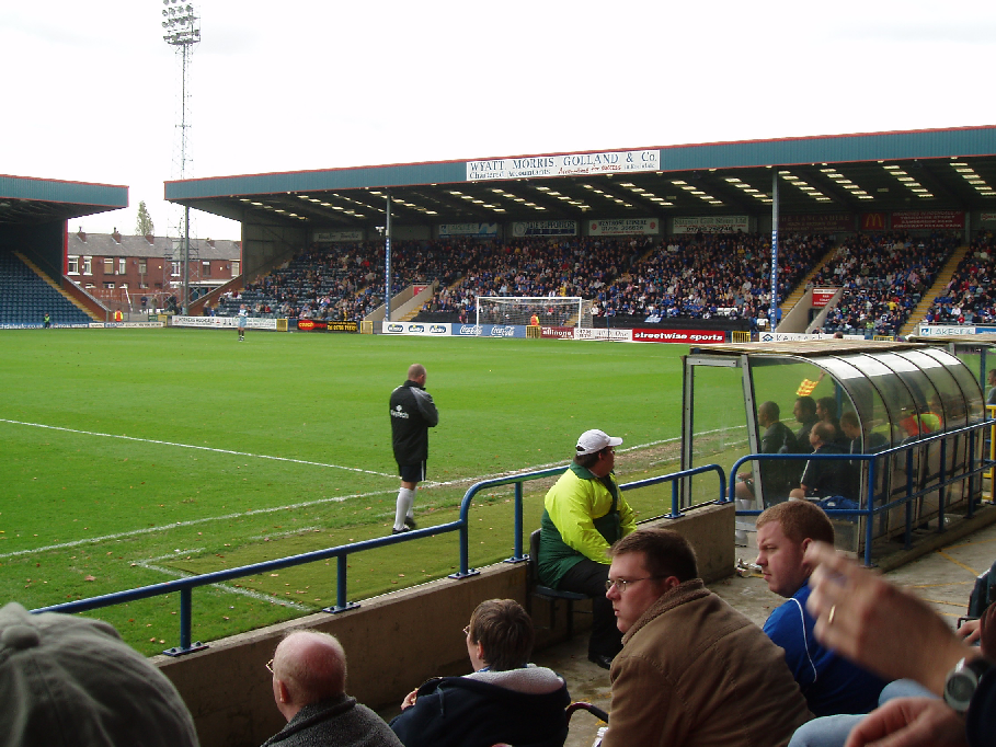
Spotland Stadium
Spotland Stadium, known as the Crown Oil Arena for sponsorship reasons, is a multi-purpose sports stadium in the Spotland area of Rochdale, Greater Manchester...
Shawclough and Healey railway station
Shawclough & Healey railway station served the townships of Shawclough and Healey in Rochdale, in the Metropolitan Borough of Rochdale in Greater Manchester...

Rochdale Infirmary
Rochdale Infirmary is an acute general hospital in Rochdale, Greater Manchester, England. It is managed by the Northern Care Alliance NHS Foundation Trust...
Spotland
Spotland ( SPOT-land) is a district of Rochdale in Greater Manchester, England. The Rochdale ward name is Spotland and Falinge. The population of this...
Nearby Amenities
Located within 500m of 53.625345,-2.1715713Have you been to Foot Wood?
Leave your review of Foot Wood below (or comments, questions and feedback).