Holly Wood

Wood, Forest in Cheshire

England

Holly Wood

View over Whitemoor from Biddulph Valley Way Living up to its name.
View over Whitemoor from Biddulph Valley Way Credit: Philip Cornwall

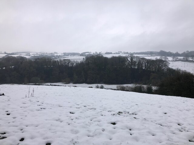
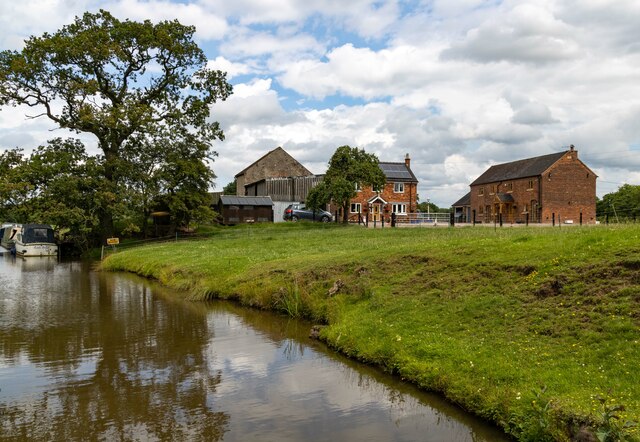
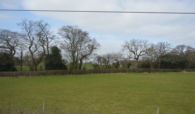
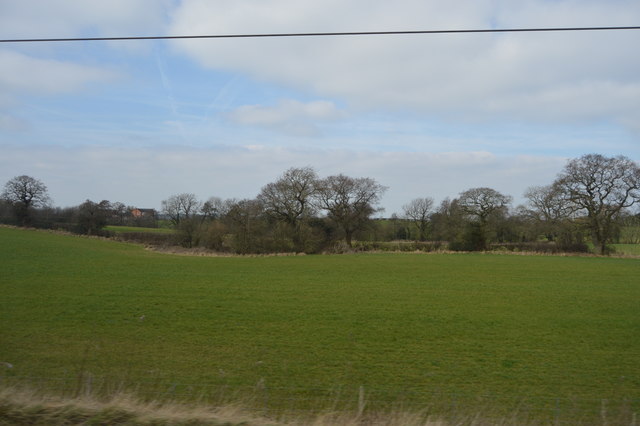
Holly Wood, located in Cheshire, England, is a picturesque forest that covers an area of approximately 200 acres. Known for its natural beauty and diverse wildlife, the wood is a popular destination for nature lovers, hikers, and birdwatchers alike.

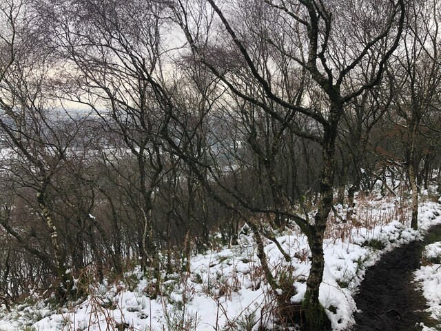
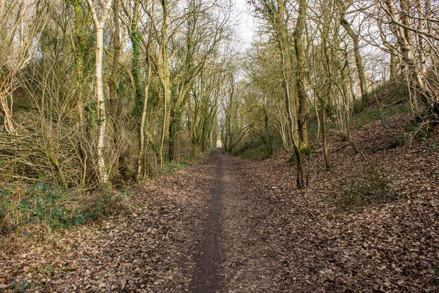
The woodland is characterized by its dense canopies of holly trees, which give the forest its name. These evergreen trees provide a stunning backdrop throughout the year, with their glossy foliage and vibrant red berries adding color to the landscape. In addition to holly, the wood is home to a variety of other tree species, such as oak, beech, and birch, creating a rich and diverse ecosystem.

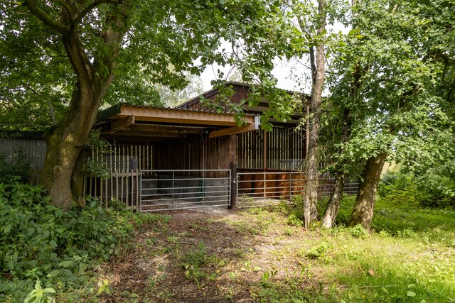
Holly Wood is renowned for its abundance of wildlife. Visitors can spot a wide array of bird species, including woodpeckers, thrushes, and owls, making it a haven for birdwatching enthusiasts. The forest is also inhabited by numerous mammals, including foxes, badgers, and deer. The presence of these creatures adds to the enchanting atmosphere of the wood, providing visitors with the opportunity to observe nature in its purest form.

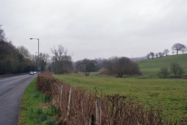
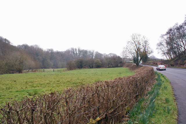
The woodland offers several walking trails, allowing visitors to explore its beauty at their own pace. These paths provide access to various areas of interest, including a tranquil pond and a small stream that meanders through the forest. Along the way, informative signs and markers help visitors learn more about the wood's flora and fauna, enhancing the educational experience.

Overall, Holly Wood in Cheshire offers a serene and captivating environment for individuals seeking a break from the hustle and bustle of everyday life. Its stunning holly trees, diverse wildlife, and well-maintained trails make it an ideal location for nature enthusiasts and those looking to reconnect with the natural world.

If you have any feedback on the listing, please let us know in the comments section below.
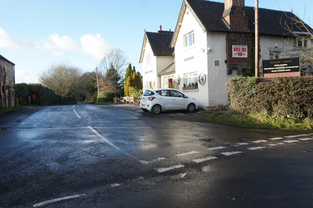
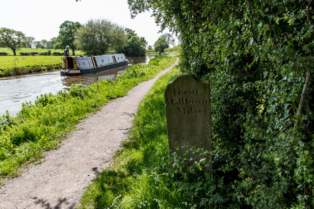
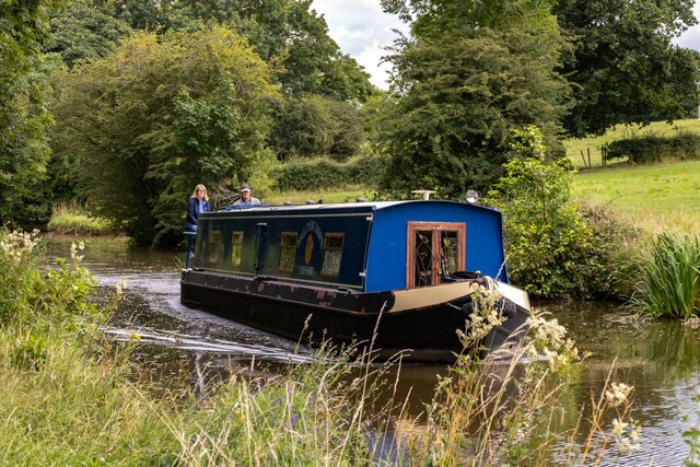
Holly Wood Images

Images are sourced within 2km of 53.13386/-2.193474 or Grid Reference SJ8759. Thanks to Geograph Open Source API. All images are credited.

View over Whitemoor from Biddulph Valley Way Living up to its name.
View over Whitemoor from Biddulph Valley Way
Living up to its name.
Path through Birch Wood on Congleton Edge
Dreamcatcher Meadows
Dobbs Lane at Upper Hulme Farm
Fence Lane from Mow Lane
Biddulph Valley Way Path <span class="nowrap"><a title="https://en.wikipedia.org/wiki/Biddulph_Valley_line" rel="nofollow ugc noopener" href="https://en.wikipedia.org/wiki/Biddulph_Valley_line">Link</a><img style="margin-left:2px;" alt="External link" title="External link - shift click to open in new window" src="https://s1.geograph.org.uk/img/external.png" width="10" height="10"/></span>
Biddulph Valley Way Path
Macclesfield Canal Mile Stone (23 miles from Marple) According to the canal society's website, these stones resembling grave markers are unique to the Macclesfield and Cromford canals. The Macclesfield's milestones had mostly been buried during the second world war as a precaution against enemy soldiers using them to find their way. All but three stones were dug up and re-erected by volunteers in the 1980s. This one, showing :-

From Marple 23 Miles (Other side)

From Hall Green 3¼ Mile (This side)
Macclesfield Canal Mile Stone (23 miles from Marple)
According to the canal society's website, these stones resembling grave markers are unique to the Macclesfield and Cromford canals. The Macclesfield's milestones had mostly been buried during the second world war as a precaution against enemy soldiers using them to find their way. All but three stones were dug up and re-erected by volunteers in the 1980s. This one, showing :- From Marple 23 Miles (Other side) From Hall Green 3¼ Mile (This side)
Mile Marker, Macclesfield Canal Milestone on the bank of the towpath. In the parish of Newbold Astbury, NE of Watery Lane.

Inscription: ¼ // o

Milestone Society National ID: MAC-23¼
Mile Marker, Macclesfield Canal
Milestone on the bank of the towpath. In the parish of Newbold Astbury, NE of Watery Lane. Inscription: ¼ // o Milestone Society National ID: MAC-23¼
Halcyon Dawn Halcyon Dawn on the Macclesfield Canal.
Halcyon Dawn
Halcyon Dawn on the Macclesfield Canal.
Upper Hulme Farm Upper Hulme Farm seen from the Macclesfield Canal.
Upper Hulme Farm
Upper Hulme Farm seen from the Macclesfield Canal.
Biddulph Valley Way Farm buildings alongside the Biddulph Valley Way.
Biddulph Valley Way
Farm buildings alongside the Biddulph Valley Way.
Higher Whitemoor Farm
Astbury Golf Course
Astbury Golf Course
Farmland by the West Coast Main line
View over a hedge Looking north towards Whitemoor, over the valley of Biddulph Brook, from the side of the A527.
View over a hedge
Looking north towards Whitemoor, over the valley of Biddulph Brook, from the side of the A527.
Valley of Biddulph Brook Here, the brook flows through grazing land, approximately parallel to the A527 road.
Valley of Biddulph Brook
Here, the brook flows through grazing land, approximately parallel to the A527 road.
Macclesfield Canal & towpath N of Watery Ln Aqueduct
Show me another place!

Holly Wood is located at Grid Ref: SJ8759 (Lat: 53.13386, Lng: -2.193474)

Unitary Authority: Cheshire East

Police Authority: Cheshire

What 3 Words

///face.else.jazzy. Near Biddulph, Staffordshire

Related Wikis

Astbury, Cheshire

Astbury was one of the eight ancient parishes of the Macclesfield Hundred of Cheshire, England. It included two chapelries and ten townships. The chapelry...

Limekiln Wood Nature Reserve

Limekiln Wood Nature Reserve is a 13.1-hectare (32-acre) nature reserve in Cheshire, England, north of the village of Mow Cop. A Site of Special Scientific...

Biddulph railway station

Biddulph railway station was a railway station opened by the North Staffordshire Railway in 1864. Originally named Gillow Heath the station was renamed...

Biddulph Grange

Biddulph Grange is a National Trust landscaped garden, in Biddulph near Stoke-on-Trent, Staffordshire, England. It is separate from Biddulph Grange Country...

Biddulph

Biddulph is a town in Staffordshire, England, 8.5 miles (14 km) north of Stoke-on-Trent and 4.5 miles (7 km) south-east of Congleton, Cheshire. == Origin... ==

Biddulph Grange Country Park

Biddulph Grange Country Park is a country park in Biddulph, UK. It was originally part of Biddulph Grange. == Contents == The 73 acres (0.30 km2) park...

Congleton railway station

Congleton railway station is a mainline station serving the Cheshire market town of Congleton. It lies on the Stafford-Manchester branch of the West Coast...

Mow Cop Castle

Mow Cop Castle is a folly at Mow Cop in the civil parish of Odd Rode, Cheshire, England. It is designated as a Grade II listed building on the National...

Nearby Amenities

Located within 500m of 53.13386,-2.193474
Nick i' th' Hill
Alt Name: Nick i' the Hill
Is In: Cheshire, United Kingdom
Place: hamlet
Lat/Long: 53.1357125/-2.1867041
Barrier: stile
Lat/Long: 53.1333462/-2.1961137
Parking
Lat/Long: 53.1343716/-2.1983225
Barrier: stile
Lat/Long: 53.1331331/-2.1964582
Power: pole
Lat/Long: 53.1295537/-2.1944019
Power: pole
Lat/Long: 53.1302586/-2.1946648
Power: pole
Lat/Long: 53.1308379/-2.194874
Power: pole
Lat/Long: 53.1364858/-2.1986224
Power: pole
Lat/Long: 53.1294215/-2.1945198
Material: wood
Power: pole
Lat/Long: 53.1301684/-2.1947756
Power: pole
Lat/Long: 53.1313237/-2.1958478
Power: pole
Lat/Long: 53.1321464/-2.1966119
Power: pole
Lat/Long: 53.1332629/-2.196655
Power: pole
Lat/Long: 53.1346196/-2.196692
Power: pole
Lat/Long: 53.131624/-2.1951543
Power: pole
Lat/Long: 53.1358065/-2.1977877
Barrier: stile
Lat/Long: 53.131517/-2.1979012
Barrier: stile
Lat/Long: 53.1315642/-2.1978618
Barrier: stile
Lat/Long: 53.1345533/-2.1967466
Barrier: stile
Lat/Long: 53.1345816/-2.196776
Barrier: stile
Lat/Long: 53.1369608/-2.1968007
The data included in this document is from www.openstreetmap.org. The data is made available under ODbL.

Have you been to Holly Wood?

Leave your review of Holly Wood below (or comments, questions and feedback).