Pot Bank
Settlement in Cheshire
England
Pot Bank
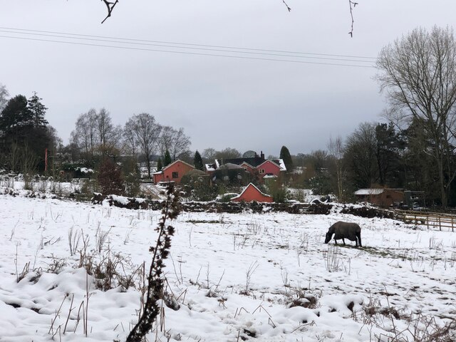
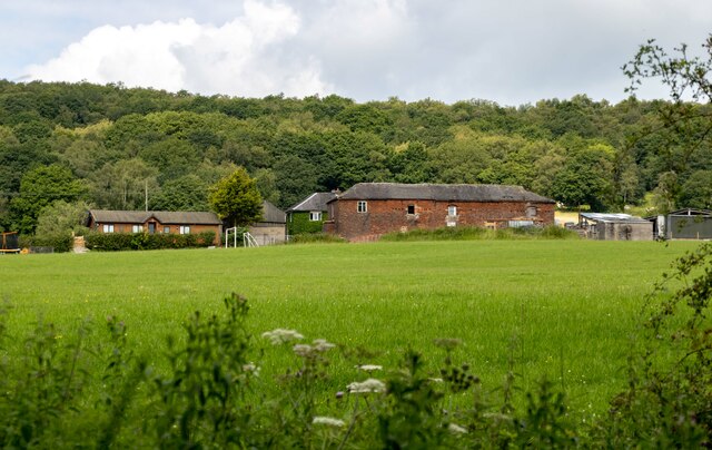
Pot Bank is a small village located in the county of Cheshire, England. Situated in the northwest region of the country, it falls within the borough of Cheshire East. The village is nestled amidst the picturesque countryside, surrounded by lush green fields and rolling hills, making it an ideal location for those seeking a tranquil and peaceful setting.
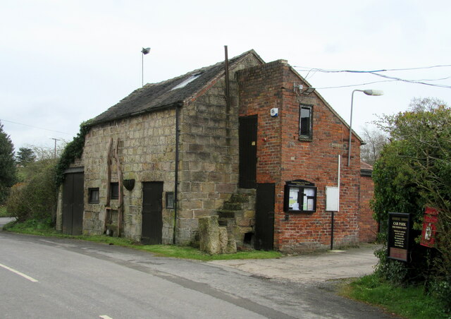
Pot Bank derives its name from its historical association with pottery production. The village was once a hub for the pottery industry, with numerous kilns and factories operating in the area. Although the pottery industry has declined over the years, remnants of its rich heritage can still be observed in the form of old kilns and pottery workshops scattered throughout the village.
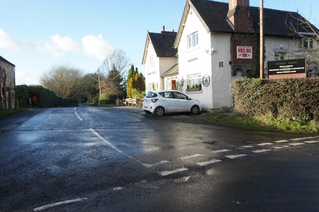
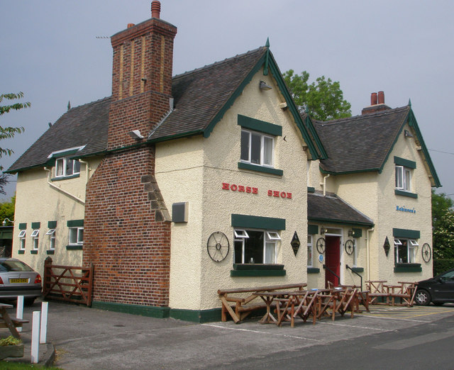
Despite its small size, Pot Bank boasts a close-knit community that takes pride in preserving its local traditions and history. The village is home to a number of charming cottages, many of which date back several centuries, adding to its quaint and rustic charm. The villagers actively participate in community events and activities, fostering a strong sense of camaraderie and unity.
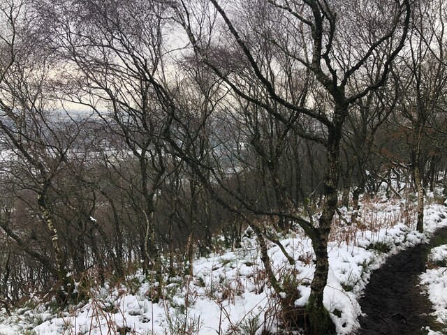
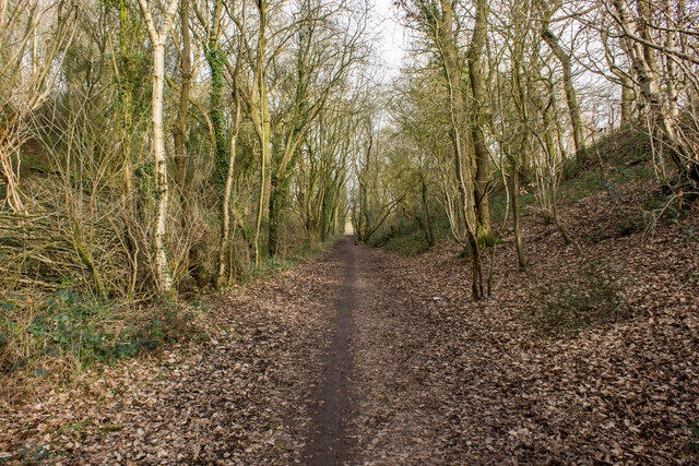
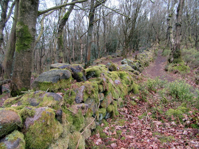
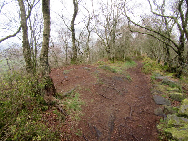
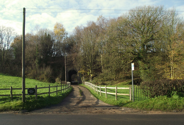
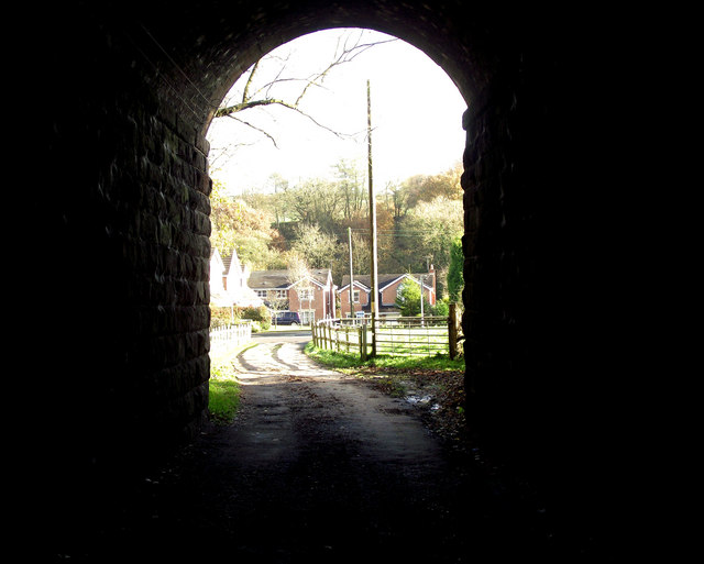
Nature lovers and outdoor enthusiasts are drawn to Pot Bank for its idyllic countryside setting. The village offers numerous walking and cycling trails, allowing visitors to explore the surrounding natural beauty. Additionally, the nearby River Dane provides opportunities for fishing and boating.
Although Pot Bank may be a quiet and tranquil village, its proximity to larger towns and cities like Macclesfield and Manchester ensures that residents have access to a range of amenities, including schools, shops, and healthcare facilities.
If you have any feedback on the listing, please let us know in the comments section below.
Pot Bank Images
Images are sourced within 2km of 53.129904/-2.1935309 or Grid Reference SJ8759. Thanks to Geograph Open Source API. All images are credited.


Pot Bank is located at Grid Ref: SJ8759 (Lat: 53.129904, Lng: -2.1935309)
Unitary Authority: Cheshire East
Police Authority: Cheshire
What 3 Words
///phones.varieties.recall. Near Biddulph, Staffordshire
Nearby Locations
Related Wikis

Limekiln Wood Nature Reserve
Limekiln Wood Nature Reserve is a 13.1-hectare (32-acre) nature reserve in Cheshire, England, north of the village of Mow Cop. A Site of Special Scientific...
Astbury, Cheshire
Astbury was one of the eight ancient parishes of the Macclesfield Hundred of Cheshire, England. It included two chapelries and ten townships. The chapelry...

Biddulph railway station
Biddulph railway station was a railway station opened by the North Staffordshire Railway in 1864. Originally named Gillow Heath the station was renamed...

Biddulph
Biddulph is a town in Staffordshire, England, 8.5 miles (14 km) north of Stoke-on-Trent and 4.5 miles (7 km) south-east of Congleton, Cheshire. == Origin... ==
Nearby Amenities
Located within 500m of 53.129904,-2.1935309Have you been to Pot Bank?
Leave your review of Pot Bank below (or comments, questions and feedback).