Congleton Edge
Settlement in Staffordshire Staffordshire Moorlands
England
Congleton Edge
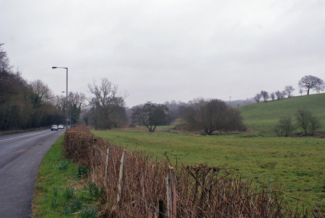
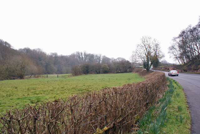
Congleton Edge is a prominent landmark located in Staffordshire, England. Situated on the eastern outskirts of the town of Congleton, it is a designated Site of Special Scientific Interest (SSSI) due to its significant geological and ecological features.
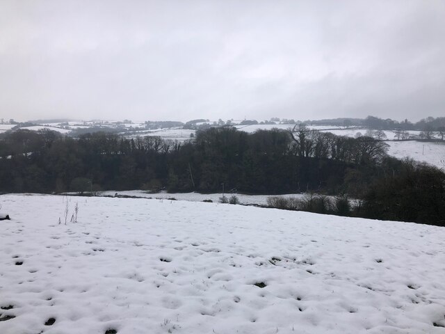
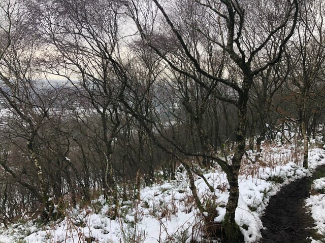
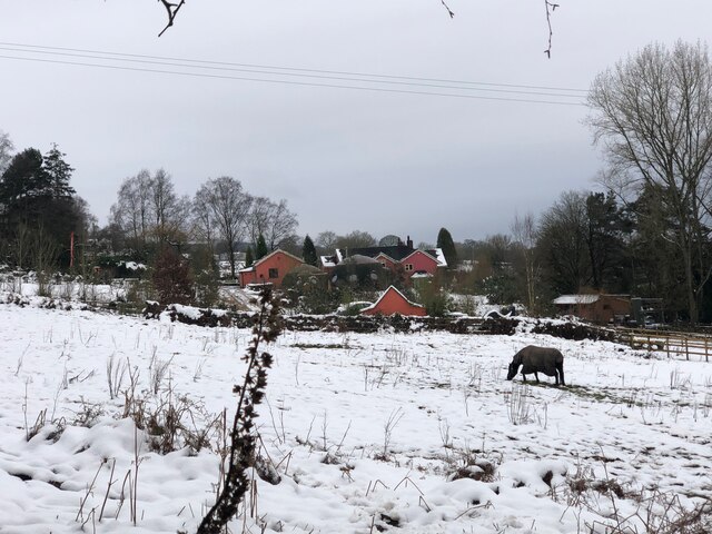
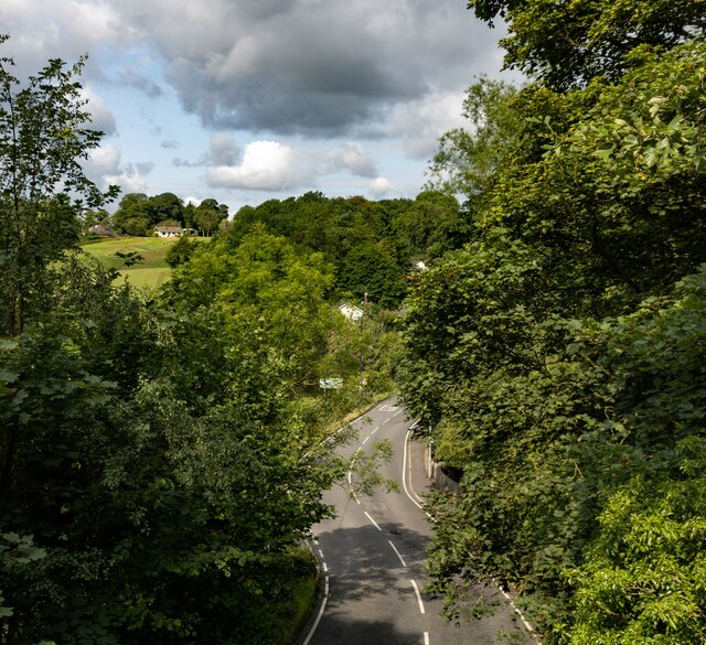
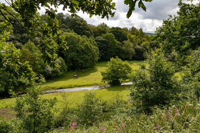
This elevated area is known for its distinctive sandstone ridge, which stretches approximately 3 kilometers in length. The Edge offers breathtaking panoramic views of the surrounding Cheshire Plain and the Peak District National Park, making it a popular destination for nature enthusiasts and hikers. The diverse wildlife found within the area includes various bird species, such as peregrine falcons and kestrels, as well as small mammals like rabbits and voles.
Congleton Edge is home to a wide range of flora, including heather, bilberry, and gorse, which create a beautiful tapestry of colors throughout the seasons. The sandstone cliffs and outcrops found here are also of geological importance, showcasing layers of sedimentary rock formed millions of years ago.
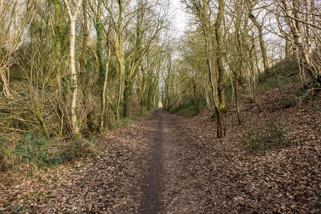
Visitors can explore the area by following several well-marked footpaths and trails that wind through the Edge. These routes offer opportunities to discover the natural beauty of the landscape and learn about the local history and heritage. Congleton Edge provides a tranquil escape from the bustle of everyday life, with its serene atmosphere and breathtaking vistas, making it a cherished destination for both locals and tourists alike.
If you have any feedback on the listing, please let us know in the comments section below.
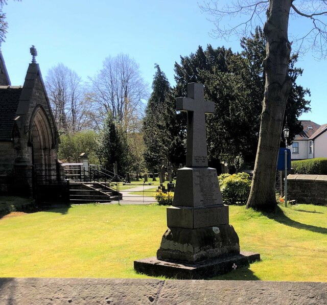
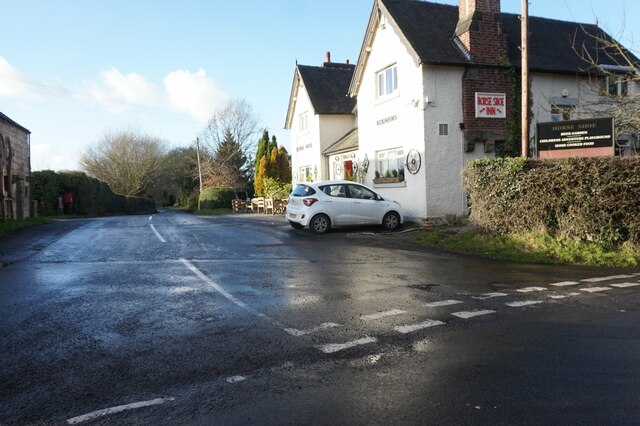
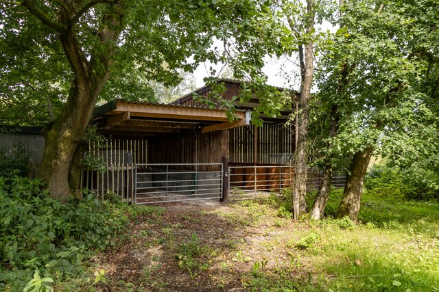
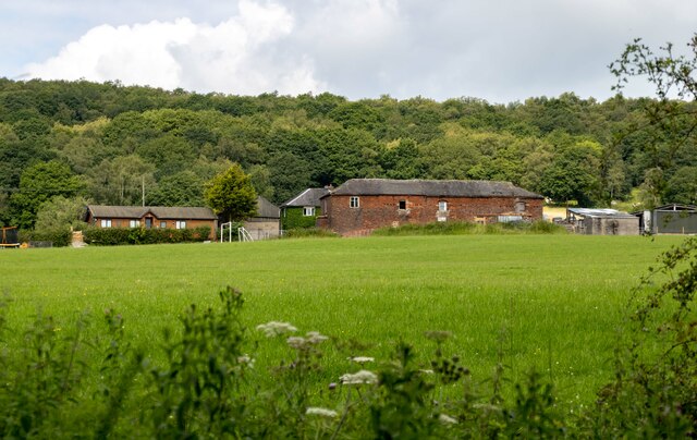
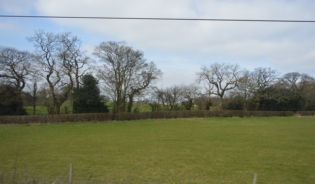
Congleton Edge Images
Images are sourced within 2km of 53.135877/-2.1853816 or Grid Reference SJ8759. Thanks to Geograph Open Source API. All images are credited.


Congleton Edge is located at Grid Ref: SJ8759 (Lat: 53.135877, Lng: -2.1853816)
Administrative County: Staffordshire
District: Staffordshire Moorlands
Police Authority: Staffordshire
What 3 Words
///result.potato.goes. Near Biddulph, Staffordshire
Nearby Locations
Related Wikis

Astbury, Cheshire
Astbury was one of the eight ancient parishes of the Macclesfield Hundred of Cheshire, England. It included two chapelries and ten townships. The chapelry...

Biddulph railway station
Biddulph railway station was a railway station opened by the North Staffordshire Railway in 1864. Originally named Gillow Heath the station was renamed...

Biddulph Grange
Biddulph Grange is a National Trust landscaped garden, in Biddulph near Stoke-on-Trent, Staffordshire, England. It is separate from Biddulph Grange Country...
Limekiln Wood Nature Reserve
Limekiln Wood Nature Reserve is a 13.1-hectare (32-acre) nature reserve in Cheshire, England, north of the village of Mow Cop. A Site of Special Scientific...

Biddulph
Biddulph is a town in Staffordshire, England, 8.5 miles (14 km) north of Stoke-on-Trent and 4.5 miles (7 km) south-east of Congleton, Cheshire. == Origin... ==

Biddulph Grange Country Park
Biddulph Grange Country Park is a country park in Biddulph, UK. It was originally part of Biddulph Grange. == Contents == The 73 acres (0.30 km2) park...

Congleton railway station
Congleton railway station is a mainline station serving the Cheshire market town of Congleton. It lies on the Stafford-Manchester branch of the West Coast...
Braddocks Hay
Braddocks Hay is a village in Staffordshire, England. Population details for the 2011 census can be found under Biddulph
Nearby Amenities
Located within 500m of 53.135877,-2.1853816Have you been to Congleton Edge?
Leave your review of Congleton Edge below (or comments, questions and feedback).