Edge Hill
Hill, Mountain in Cheshire Staffordshire Moorlands
England
Edge Hill
Edge Hill is a prominent landmark located in Cheshire, England. It is situated approximately 3 miles southeast of the town of Tarporley and is part of the larger Cheshire Sandstone Ridge. At an elevation of around 215 meters (705 feet) above sea level, Edge Hill is often referred to as a hill rather than a mountain.
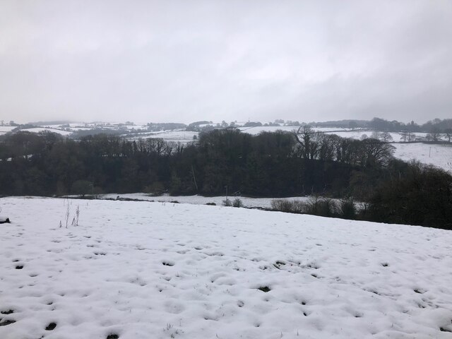
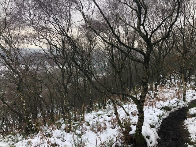
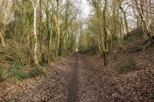
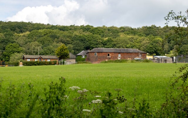
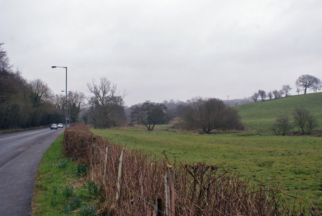
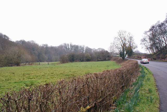
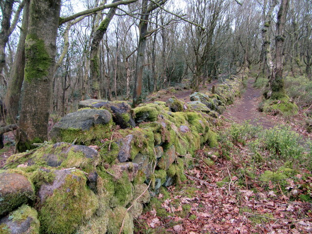
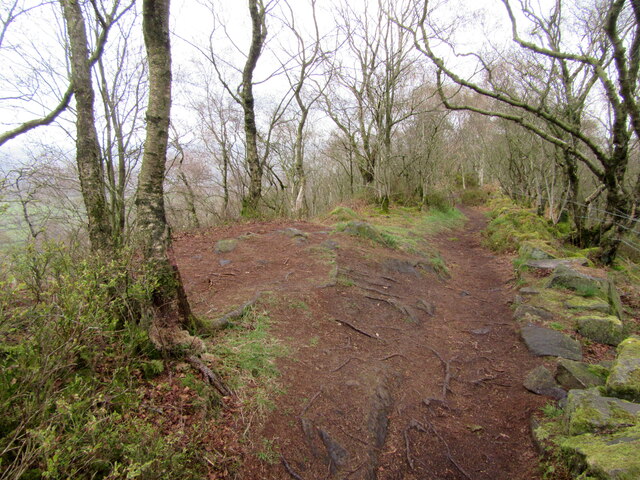
The hill is notable for its unique geological features, primarily composed of sandstone and covered in a mix of woodland and open grassland. The sandstone cliffs that can be found in some areas of Edge Hill are a testament to the region's geological history. These cliffs offer panoramic views of the surrounding countryside, making it a popular spot for walkers, hikers, and nature enthusiasts.
Edge Hill is also steeped in historical significance. It played a significant role during the English Civil War, serving as a strategic vantage point for both sides. The Battle of Edge Hill, which took place in 1642, marked one of the first major conflicts of the war.
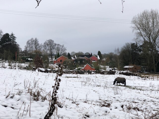
Today, Edge Hill is a designated Area of Outstanding Natural Beauty (AONB) due to its stunning landscapes and rich biodiversity. The area is home to a variety of wildlife, including deer, badgers, and numerous bird species. This makes it a haven for birdwatchers and wildlife photographers.
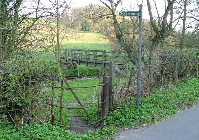
Accessible walking trails and footpaths crisscross the hill, allowing visitors to explore its natural beauty and historical sites. The peaceful and tranquil atmosphere, coupled with its natural and historical significance, make Edge Hill a must-visit destination for those seeking to immerse themselves in the beauty of Cheshire's countryside.
If you have any feedback on the listing, please let us know in the comments section below.
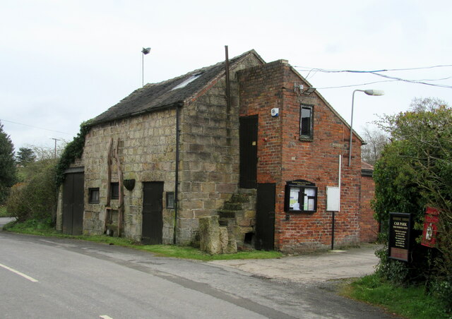
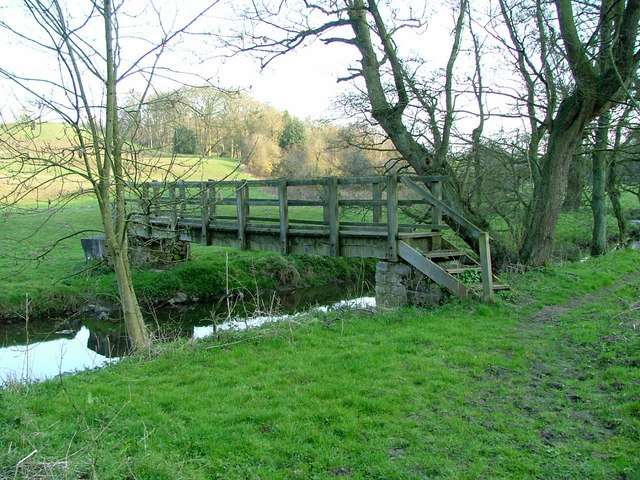
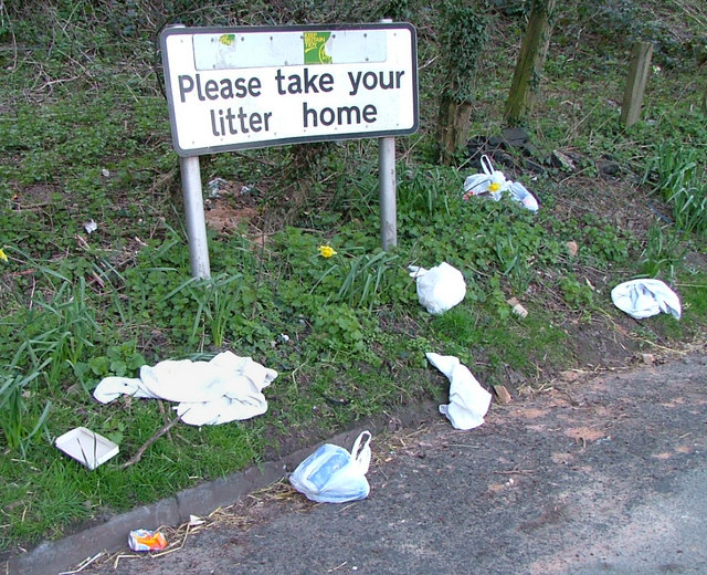
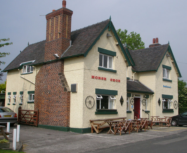
Edge Hill Images
Images are sourced within 2km of 53.131265/-2.1914596 or Grid Reference SJ8759. Thanks to Geograph Open Source API. All images are credited.


Edge Hill is located at Grid Ref: SJ8759 (Lat: 53.131265, Lng: -2.1914596)
Administrative County: Staffordshire
District: Staffordshire Moorlands
Police Authority: Staffordshire
What 3 Words
///major.tubes.going. Near Biddulph, Staffordshire
Nearby Locations
Related Wikis

Astbury, Cheshire
Astbury was one of the eight ancient parishes of the Macclesfield Hundred of Cheshire, England. It included two chapelries and ten townships. The chapelry...
Limekiln Wood Nature Reserve
Limekiln Wood Nature Reserve is a 13.1-hectare (32-acre) nature reserve in Cheshire, England, north of the village of Mow Cop. A Site of Special Scientific...

Biddulph railway station
Biddulph railway station was a railway station opened by the North Staffordshire Railway in 1864. Originally named Gillow Heath the station was renamed...

Biddulph
Biddulph is a town in Staffordshire, England, 8.5 miles (14 km) north of Stoke-on-Trent and 4.5 miles (7 km) south-east of Congleton, Cheshire. == Origin... ==

Biddulph Grange
Biddulph Grange is a National Trust landscaped garden, in Biddulph near Stoke-on-Trent, Staffordshire, England. It is separate from Biddulph Grange Country...

Biddulph Grange Country Park
Biddulph Grange Country Park is a country park in Biddulph, UK. It was originally part of Biddulph Grange. == Contents == The 73 acres (0.30 km2) park...
Braddocks Hay
Braddocks Hay is a village in Staffordshire, England. Population details for the 2011 census can be found under Biddulph

Mow Cop Castle
Mow Cop Castle is a folly at Mow Cop in the civil parish of Odd Rode, Cheshire, England. It is designated as a Grade II listed building on the National...
Nearby Amenities
Located within 500m of 53.131265,-2.1914596Have you been to Edge Hill?
Leave your review of Edge Hill below (or comments, questions and feedback).