Holt Wood
Wood, Forest in Northumberland
England
Holt Wood
Holt Wood is a beautiful forest located in the county of Northumberland, England. Covering an area of approximately 200 hectares, it is a diverse and enchanting woodland that offers visitors a tranquil escape from the hustle and bustle of everyday life.
The wood is primarily composed of mixed deciduous trees, including oak, birch, and beech, which create a stunning canopy that changes with the seasons. These majestic trees provide a habitat for a wide range of wildlife, including deer, badgers, and a variety of bird species.
Holt Wood is known for its well-maintained footpaths and trails, which allow visitors to explore the wood at their own pace. The paths wind through the woodland, offering breathtaking views of the surrounding countryside and glimpses of the wildlife that call Holt Wood their home.
In addition to its natural beauty, the wood also boasts a rich history. It is believed to have been used as a hunting ground by the nobility in medieval times, and remnants of old hunting lodges can still be found within the wood. These historical features add a sense of intrigue and wonder to the overall experience of visiting Holt Wood.
Whether it's a leisurely stroll through the trees or a more adventurous hike along the well-marked trails, Holt Wood offers something for everyone. Its peaceful atmosphere and stunning scenery make it the perfect destination for nature lovers and those seeking a respite from the outside world.
If you have any feedback on the listing, please let us know in the comments section below.
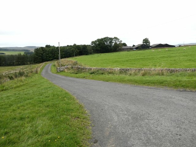
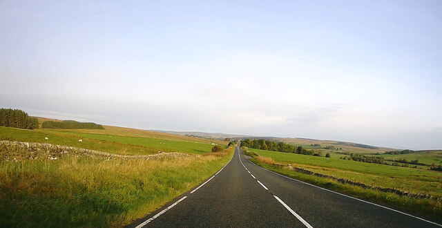
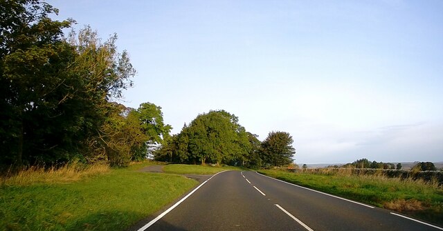
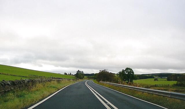
Holt Wood Images
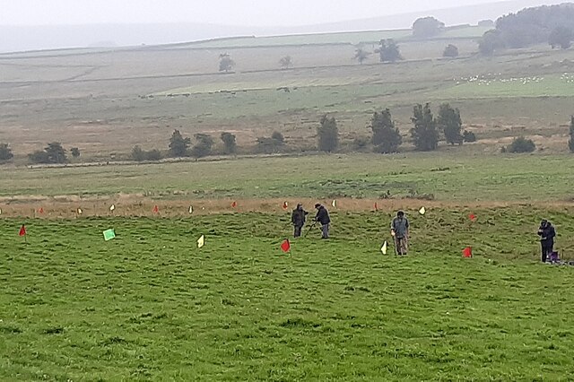
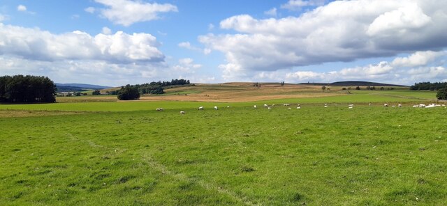
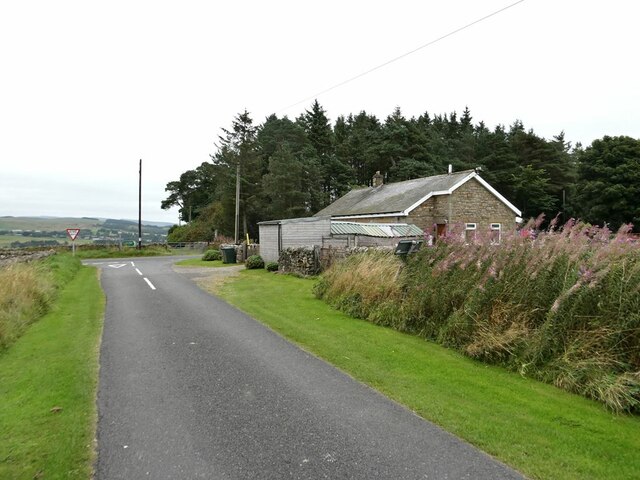
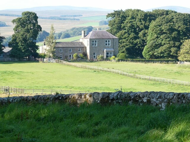
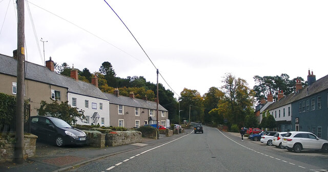
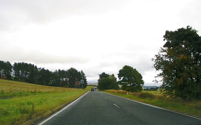
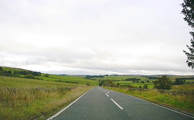
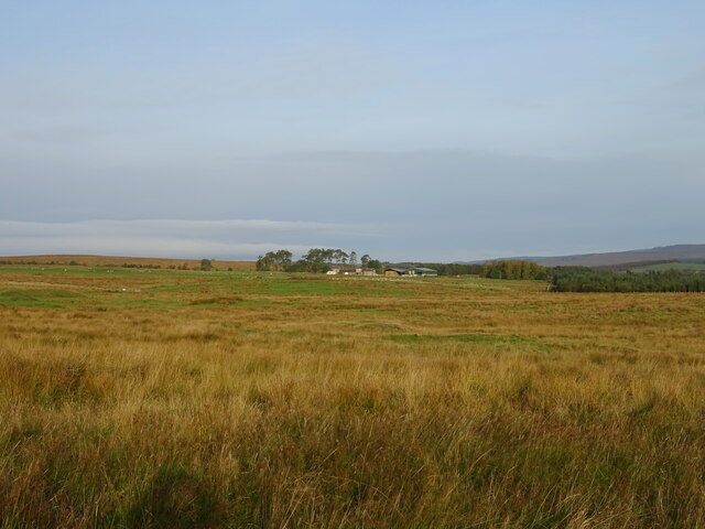
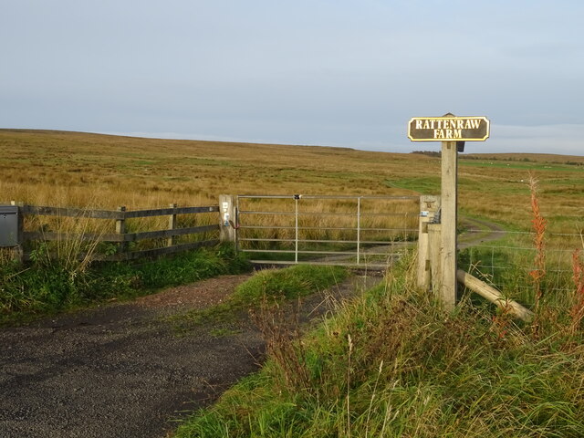
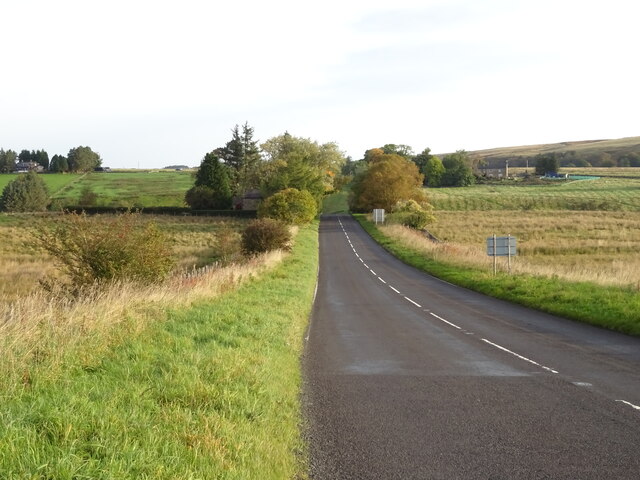
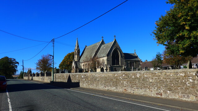
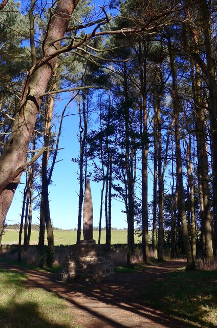
Images are sourced within 2km of 55.242913/-2.2035779 or Grid Reference NY8794. Thanks to Geograph Open Source API. All images are credited.


Holt Wood is located at Grid Ref: NY8794 (Lat: 55.242913, Lng: -2.2035779)
Unitary Authority: Northumberland
Police Authority: Northumbria
What 3 Words
///lawfully.pointed.bandaged. Near Otterburn, Northumberland
Nearby Locations
Related Wikis
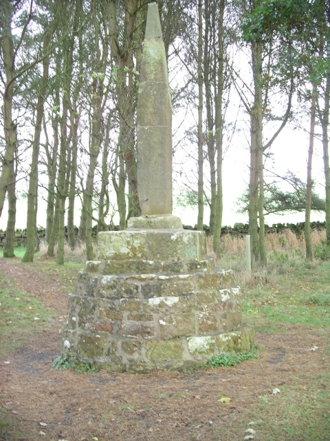
Percy Cross
The Percy Cross (also Battle Stone) is located just off the A696, 1 kilometre (0.62 mi) from Otterburn, Northumberland, England. It was erected before...
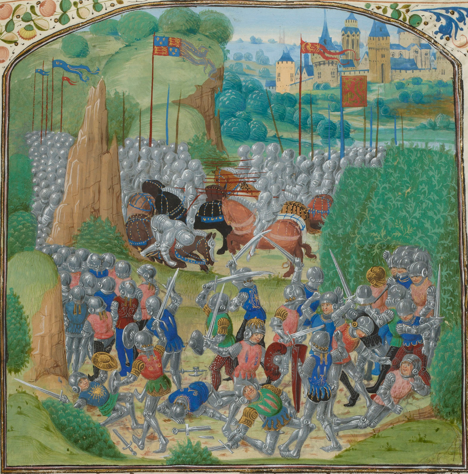
Battle of Otterburn
The Battle of Otterburn took place according to Scottish sources on 5 August 1388, or 19 August according to English sources, as part of the continuing...

Otterburn Hall
Otterburn Hall is an English country house and estate in Otterburn, Northumberland. It is situated in 500 acres (200 ha) of deer park and woodland in...

Otterburn, Northumberland
Otterburn is a small village in Northumberland, England, 31 miles (50 km) northwest of Newcastle upon Tyne on the banks of the River Rede, near the confluence...
Nearby Amenities
Located within 500m of 55.242913,-2.2035779Have you been to Holt Wood?
Leave your review of Holt Wood below (or comments, questions and feedback).