Cross Plantation

Wood, Forest in Northumberland

England

Cross Plantation

Metal detecting at the site of the Battle of Otterburn Volunteers and experienced detectorists follow 2.5m transects marked by coloured flags close to the site of the Battle of Otterbun in the hope of uncovering evidence for the correct location of the battle.

The Battle of Otterburn took place in 1388 as part of the continuing border skirmishes between the Scots and English.

The best remaining record of the battle is from Jean Froissart's Chronicles in which he claims to have interviewed veterans from both sides of the battle. His account is still regarded with some concern as details, such as the distance between Newcastle upon Tyne and Otterburn, are incorrect. Despite Henry Percy's force having an estimated three to one advantage over the Scots, Froissart records 1,040 English were captured and 1,860 killed whereas 200 Scots were captured and 100 were killed.

Some have suggested that Hotspur's rashness and eagerness to engage the Scots and the added tiredness of the English army after its long march north, were without doubt, the reasons for English defeat, despite having a three to one advantage in numbers.
<span class="nowrap"><a title="https://en.wikipedia.org/wiki/Battle_of_Otterburn" rel="nofollow ugc noopener" href="https://en.wikipedia.org/wiki/Battle_of_Otterburn">Link</a><img style="margin-left:2px;" alt="External link" title="External link - shift click to open in new window" src="https://s1.geograph.org.uk/img/external.png" width="10" height="10"/></span>

Battlefields Trust: <span class="nowrap"><a title="https://www.battlefieldstrust.com/resource-centre/medieval/battleview.asp?BattleFieldId=34" rel="nofollow ugc noopener" href="https://www.battlefieldstrust.com/resource-centre/medieval/battleview.asp?BattleFieldId=34">Link</a><img style="margin-left:2px;" alt="External link" title="External link - shift click to open in new window" src="https://s1.geograph.org.uk/img/external.png" width="10" height="10"/></span>

"This deed was done at Otterbourne,
About the breaking of the day;
Earl Douglas was buried at the braken bush,
And the Percy led captive away."
Last verse of The Battle of Otterburne From Sir Walter Scott's The Border Minstrelsy (1833) <span class="nowrap"><a title="https://www.musicanet.org/robokopp/scottish/itfellab.htm" rel="nofollow ugc noopener" href="https://www.musicanet.org/robokopp/scottish/itfellab.htm">Link</a><img style="margin-left:2px;" alt="External link" title="External link - shift click to open in new window" src="https://s1.geograph.org.uk/img/external.png" width="10" height="10"/></span>
Metal detecting at the site of the Battle of Otterburn Credit: Andrew Curtis

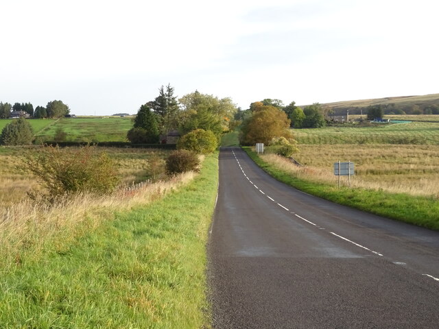
Cross Plantation is a picturesque woodland located in Northumberland, England. Situated near the town of Wood, it is a popular destination for nature enthusiasts and hikers looking to immerse themselves in the region's natural beauty. The plantation covers an extensive area of lush greenery, consisting mainly of tall, majestic trees that create a dense forest canopy.

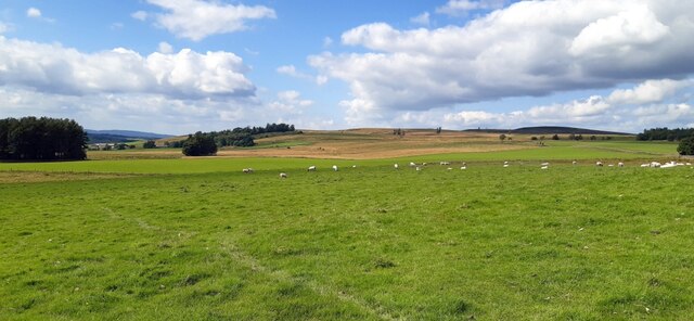
The woodland is known for its diverse range of flora and fauna, offering a habitat for various plant species and wildlife. Visitors can expect to encounter a rich array of native trees, such as oak, birch, and beech, which provide a scenic backdrop throughout the year. These trees also attract a variety of bird species, making it an ideal spot for birdwatchers.

Cross Plantation features a network of well-maintained walking trails, allowing visitors to explore the area at their own pace. The paths wind through the woods, providing opportunities to observe the local wildlife and appreciate the tranquil atmosphere. Additionally, benches and picnic areas are scattered throughout the plantation, providing resting spots for visitors to relax and enjoy the surroundings.

The woodland is open year-round, and each season brings its own charm. In spring, the forest floor comes alive with a carpet of vibrant wildflowers, while autumn paints the landscape with a stunning display of colors as the leaves change. Winter transforms Cross Plantation into a serene wonderland, with frost-covered trees and a peaceful ambiance.

Overall, Cross Plantation is a haven of natural beauty and tranquility, offering visitors a chance to escape the hustle and bustle of everyday life and connect with nature.

If you have any feedback on the listing, please let us know in the comments section below.

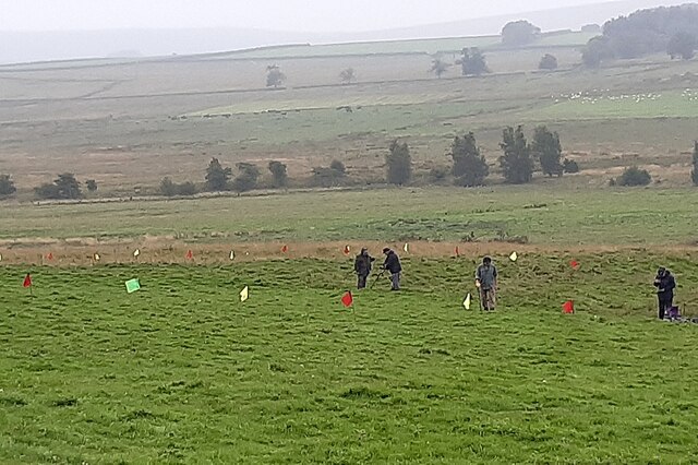
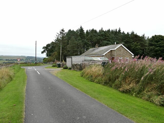
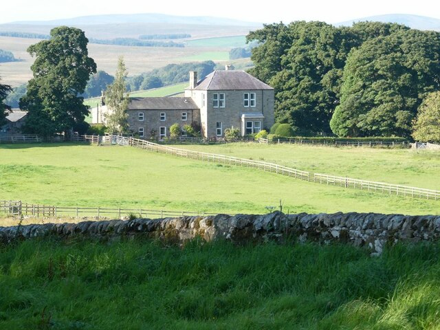
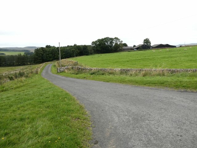
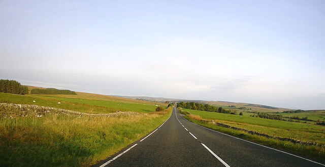
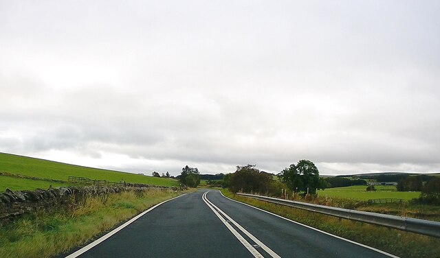
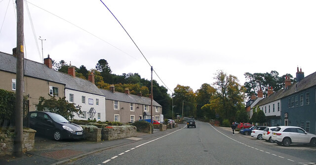
Cross Plantation Images

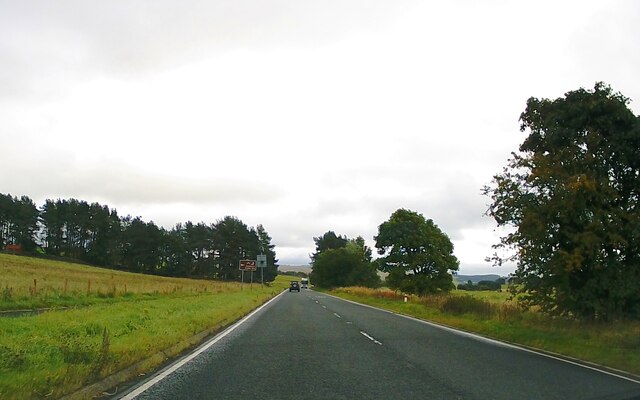
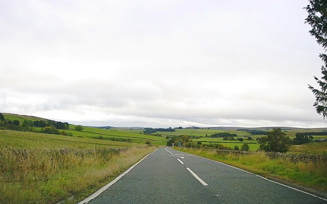
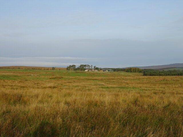
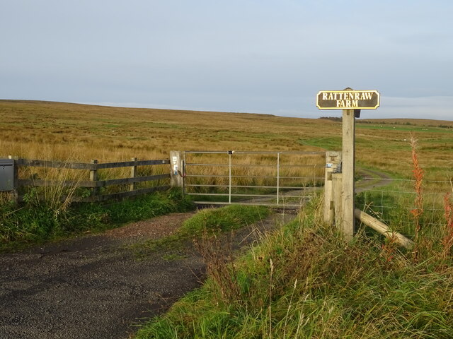
Images are sourced within 2km of 55.245186/-2.1985408 or Grid Reference NY8794. Thanks to Geograph Open Source API. All images are credited.

Metal detecting at the site of the Battle of Otterburn Volunteers and experienced detectorists follow 2.5m transects marked by coloured flags close to the site of the Battle of Otterbun in the hope of uncovering evidence for the correct location of the battle.

The Battle of Otterburn took place in 1388 as part of the continuing border skirmishes between the Scots and English.

The best remaining record of the battle is from Jean Froissart's Chronicles in which he claims to have interviewed veterans from both sides of the battle. His account is still regarded with some concern as details, such as the distance between Newcastle upon Tyne and Otterburn, are incorrect. Despite Henry Percy's force having an estimated three to one advantage over the Scots, Froissart records 1,040 English were captured and 1,860 killed whereas 200 Scots were captured and 100 were killed.

Some have suggested that Hotspur's rashness and eagerness to engage the Scots and the added tiredness of the English army after its long march north, were without doubt, the reasons for English defeat, despite having a three to one advantage in numbers.
<span class="nowrap"><a title="https://en.wikipedia.org/wiki/Battle_of_Otterburn" rel="nofollow ugc noopener" href="https://en.wikipedia.org/wiki/Battle_of_Otterburn">Link</a><img style="margin-left:2px;" alt="External link" title="External link - shift click to open in new window" src="https://s1.geograph.org.uk/img/external.png" width="10" height="10"/></span>

Battlefields Trust: <span class="nowrap"><a title="https://www.battlefieldstrust.com/resource-centre/medieval/battleview.asp?BattleFieldId=34" rel="nofollow ugc noopener" href="https://www.battlefieldstrust.com/resource-centre/medieval/battleview.asp?BattleFieldId=34">Link</a><img style="margin-left:2px;" alt="External link" title="External link - shift click to open in new window" src="https://s1.geograph.org.uk/img/external.png" width="10" height="10"/></span>

"This deed was done at Otterbourne,
About the breaking of the day;
Earl Douglas was buried at the braken bush,
And the Percy led captive away."
Last verse of The Battle of Otterburne From Sir Walter Scott's The Border Minstrelsy (1833) <span class="nowrap"><a title="https://www.musicanet.org/robokopp/scottish/itfellab.htm" rel="nofollow ugc noopener" href="https://www.musicanet.org/robokopp/scottish/itfellab.htm">Link</a><img style="margin-left:2px;" alt="External link" title="External link - shift click to open in new window" src="https://s1.geograph.org.uk/img/external.png" width="10" height="10"/></span>
Metal detecting at the site of the Battle of Otterburn
Volunteers and experienced detectorists follow 2.5m transects marked by coloured flags close to the site of the Battle of Otterbun in the hope of uncovering evidence for the correct location of the battle. The Battle of Otterburn took place in 1388 as part of the continuing border skirmishes between the Scots and English. The best remaining record of the battle is from Jean Froissart's Chronicles in which he claims to have interviewed veterans from both sides of the battle. His account is still regarded with some concern as details, such as the distance between Newcastle upon Tyne and Otterburn, are incorrect. Despite Henry Percy's force having an estimated three to one advantage over the Scots, Froissart records 1,040 English were captured and 1,860 killed whereas 200 Scots were captured and 100 were killed. Some have suggested that Hotspur's rashness and eagerness to engage the Scots and the added tiredness of the English army after its long march north, were without doubt, the reasons for English defeat, despite having a three to one advantage in numbers. LinkExternal link Battlefields Trust: LinkExternal link "This deed was done at Otterbourne, About the breaking of the day; Earl Douglas was buried at the braken bush, And the Percy led captive away." Last verse of The Battle of Otterburne From Sir Walter Scott's The Border Minstrelsy (1833) LinkExternal link
Site of the Battle of Otterburn
Troughend Bungalow On a minor road which joins the A68.
Troughend Bungalow
On a minor road which joins the A68.
Dunns Houses Farm
Dunns Houses Farm
A68 north of Troughend
Driveway to Garretshiels Farm
A prospect of Otterburn Seen from the A68.
A prospect of Otterburn
Seen from the A68.
A68 towards Jedburgh On the Old Roman Road (Dere Street).
A68 towards Jedburgh
On the Old Roman Road (Dere Street).
A696 towards Otterburn
Otterburn The A696 through the village.
Otterburn
The A696 through the village.
A696 towards Otterburn
A696, Elishaw Towards Otterburn.
A696, Elishaw
Towards Otterburn.
Rough grazing near Brownrigg
Track (bridleway) to Rattenraw Farm
A68 towards Elishaw
A68 towards Elishaw
St John the Evangelist Church, Otterburn
Percy's Cross, Otterburn This commemorates the Battle of Otterburn and Henry Percy, 1st Earl of Northumberland.  For more information, see <span class="nowrap"><a title="https://en.wikipedia.org/wiki/Percy_Cross" rel="nofollow ugc noopener" href="https://en.wikipedia.org/wiki/Percy_Cross">Link</a><img style="margin-left:2px;" alt="External link" title="External link - shift click to open in new window" src="https://s1.geograph.org.uk/img/external.png" width="10" height="10"/></span>
Percy's Cross, Otterburn
This commemorates the Battle of Otterburn and Henry Percy, 1st Earl of Northumberland. For more information, see LinkExternal link
Rattenraw Farm sign The farm road is on the left and the farm is in the distance to the right.
Rattenraw Farm sign
The farm road is on the left and the farm is in the distance to the right.
Show me another place!

Cross Plantation is located at Grid Ref: NY8794 (Lat: 55.245186, Lng: -2.1985408)

Unitary Authority: Northumberland

Police Authority: Northumbria

What 3 Words

///paintings.brink.riders. Near Otterburn, Northumberland

Related Wikis

Otterburn Hall

Otterburn Hall is an English country house and estate in Otterburn, Northumberland. It is situated in 500 acres (200 ha) of deer park and woodland in...
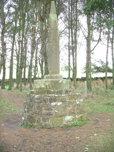
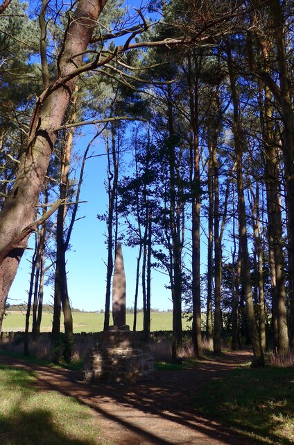
Percy Cross

The Percy Cross (also Battle Stone) is located just off the A696, 1 kilometre (0.62 mi) from Otterburn, Northumberland, England. It was erected before...

Battle of Otterburn

The Battle of Otterburn took place according to Scottish sources on 5 August 1388, or 19 August according to English sources, as part of the continuing...

Otterburn, Northumberland

Otterburn is a small village in Northumberland, England, 31 miles (50 km) northwest of Newcastle upon Tyne on the banks of the River Rede, near the confluence...

Nearby Amenities

Located within 500m of 55.245186,-2.1985408
Barrier: cattle_grid
Lat/Long: 55.248864/-2.1984007
The data included in this document is from www.openstreetmap.org. The data is made available under ODbL.

Have you been to Cross Plantation?

Leave your review of Cross Plantation below (or comments, questions and feedback).