Big Wood
Wood, Forest in Cheshire
England
Big Wood
Big Wood is a sprawling forest located in the county of Cheshire, England. Spanning over several hectares, this woodland area is a prominent natural attraction in the region. Situated in close proximity to the town of Cheshire, Big Wood offers a serene and picturesque environment for visitors to explore and enjoy.
The forest is primarily composed of towering oak and beech trees, creating a dense canopy that provides shelter and shade for a diverse range of flora and fauna. The woodland floor is covered in a thick layer of fallen leaves, creating a vibrant carpet of colors during the autumn season.
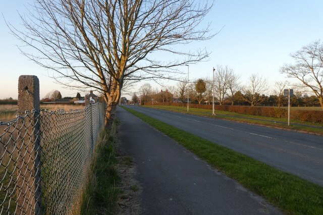
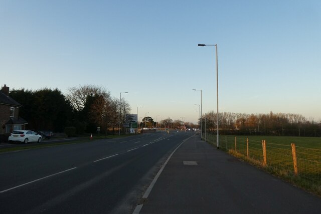
Big Wood is renowned for its extensive network of walking trails, allowing visitors to immerse themselves in the natural beauty of the forest. These trails are well-maintained and suitable for all levels of hikers, making it an ideal destination for both experienced trekkers and casual nature enthusiasts. Additionally, the forest is a popular spot for birdwatching, with various species of woodland birds nesting and foraging in the area.
The enchanting ambiance of Big Wood attracts visitors throughout the year. In the spring and summer months, the forest comes alive with the sounds of chirping birds and buzzing insects, while during the winter, a peaceful tranquility settles over the woodland as the trees stand bare against the cold.
Overall, Big Wood in Cheshire is a stunning natural gem, offering an escape from the hustle and bustle of urban life. With its diverse ecosystem and well-maintained trails, it provides a unique opportunity for visitors to connect with nature and enjoy the serene beauty of the countryside.
If you have any feedback on the listing, please let us know in the comments section below.
Big Wood Images
Images are sourced within 2km of 53.372872/-2.2513711 or Grid Reference SJ8386. Thanks to Geograph Open Source API. All images are credited.


Big Wood is located at Grid Ref: SJ8386 (Lat: 53.372872, Lng: -2.2513711)
Unitary Authority: Manchester
Police Authority: Greater Manchester
What 3 Words
///rates.alas.scorecard. Near Ringway, Manchester
Nearby Locations
Related Wikis

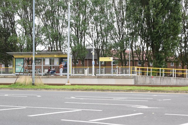
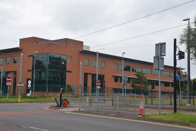
Peel Hall tram stop
Peel Hall is a tram stop for Phase 3b of the Manchester Metrolink. The station opened on 3 November 2014 and is on the Airport Line on Simonsway next to...

Shadowmoss tram stop
Shadowmoss is a tram stop on the Airport Line of the Manchester Metrolink which opened on 3 November 2014.The stop is one of the least used on the Metrolink...

Robinswood Road tram stop
Robinswood Road is a tram stop for Phase 3b of the Manchester Metrolink. It opened on 3 November 2014. and is on the Airport Line on Simonsway at the junction...

Woodhouse Park tram stop
Woodhouse Park tram stop was a proposed Metrolink tram stop on the phase 3b plans to Manchester Airport. It was due to open in 2016 but was dropped from...
Peel Hall, Wythenshawe
Peel Hall is a suburb of Manchester, England, nine miles south of the city centre and a mile north of Manchester Airport. Peel Hall is on the eastern edge...

British European Airways Flight 411
British European Airways Flight 411 crashed on approach to Manchester Airport after a flight from Amsterdam Schiphol International Airport on 14 March...

William Temple Memorial Church, Wythenshawe
William Temple Memorial Church is a parish church in Wythenshawe, Manchester, dedicated to the bishop William Temple. It is a Grade II listed building...
Wythenshawe bus station
Wythenshawe bus station serves the Wythenshawe area of Greater Manchester, England. The bus station was opened by the Greater Manchester Passenger Transport...
Related Videos

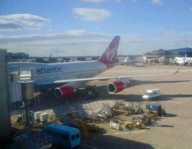
Travel Day Manchester to Orlando on Virgin Atlantic Premium Economy
If you would like to support the channel you can treat us to a 'coffee':⭐ https://www.buymeacoffee.com/91o4HXjnw ⭐Shop Our ...

It's Travel Day! | TUI Manchester - Melbourne Orlando | Orlando September 2022 | Travelling Magical
Hello and welcome to a brand new vlog! It's finally time for a brand new travel day, So excited to share with you new vlogs from ...


Walt Disney World Travel Day 2024 Orlando MAN-MCO 🇺🇸
travelday #waltdisneyworld #orlandoflorida Embarking on an incredible adventure! Come join us as we fuel up at Bridgewater ...
Nearby Amenities
Located within 500m of 53.372872,-2.2513711Have you been to Big Wood?
Leave your review of Big Wood below (or comments, questions and feedback).