Ash Wood
Wood, Forest in Cheshire
England
Ash Wood
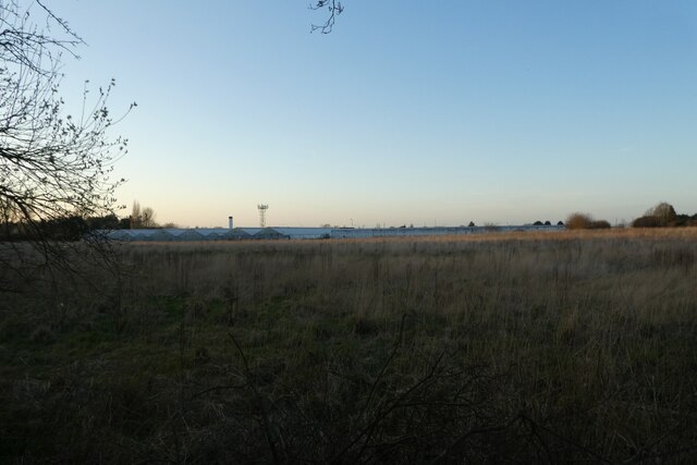
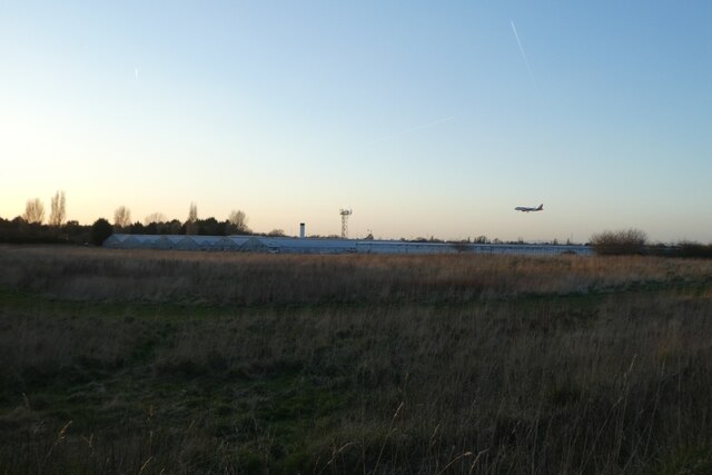
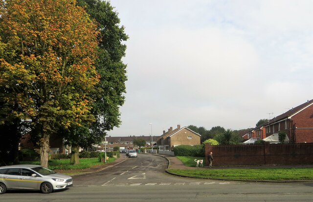
Ash Wood is a picturesque forest located in the county of Cheshire, England. Covering an area of approximately 100 acres, it is known for its dense growth of ash trees, which give the woodland its name. The wood is situated near the village of Cheshire, providing a natural haven for both locals and visitors to enjoy.
The forest boasts a diverse ecosystem, with a wide array of flora and fauna thriving within its boundaries. The dense canopy of ash trees creates a tranquil and shaded environment, ideal for leisurely walks and exploration. The forest floor is carpeted with a rich variety of wildflowers during the spring and summer months, adding bursts of vibrant colors to the landscape.
Ash Wood is home to a plethora of wildlife, including various species of birds, mammals, and insects. Birdwatching enthusiasts will delight in spotting species such as woodpeckers, owls, and thrushes, while keen-eyed observers may catch a glimpse of elusive mammals like foxes, rabbits, or even deer.
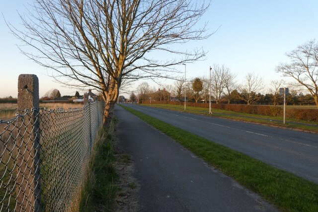
The wood is crisscrossed by a network of well-maintained footpaths, making it easily accessible for visitors. These paths meander through the forest, leading to secluded glens, babbling brooks, and hidden ponds. Along the way, interpretive signs provide information about the flora and fauna, enhancing the educational experience.
Ash Wood offers a peaceful retreat from the hustle and bustle of daily life, providing a serene setting for nature lovers and outdoor enthusiasts. Whether it's a leisurely stroll, birdwatching, or simply enjoying the tranquility of the woods, Ash Wood offers a delightful escape into nature.
If you have any feedback on the listing, please let us know in the comments section below.
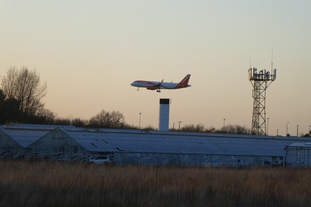
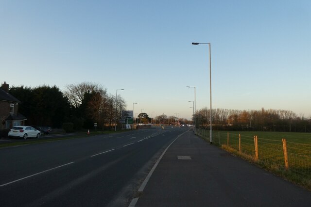
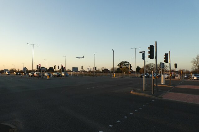
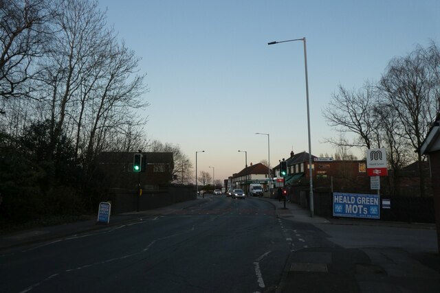
Ash Wood Images
Images are sourced within 2km of 53.375732/-2.250456 or Grid Reference SJ8386. Thanks to Geograph Open Source API. All images are credited.


Ash Wood is located at Grid Ref: SJ8386 (Lat: 53.375732, Lng: -2.250456)
Unitary Authority: Manchester
Police Authority: Greater Manchester
What 3 Words
///flying.glitz.those. Near Ringway, Manchester
Nearby Locations
Related Wikis

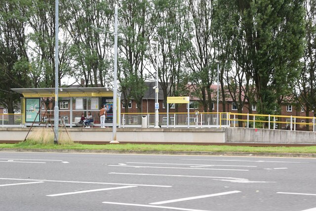
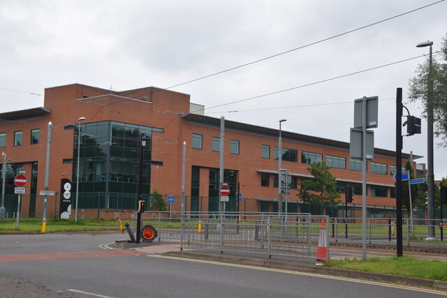
Peel Hall tram stop
Peel Hall is a tram stop for Phase 3b of the Manchester Metrolink. The station opened on 3 November 2014 and is on the Airport Line on Simonsway next to...

Peel Hall, Wythenshawe
Peel Hall is a suburb of Manchester, England, nine miles south of the city centre and a mile north of Manchester Airport. Peel Hall is on the eastern edge...

Robinswood Road tram stop
Robinswood Road is a tram stop for Phase 3b of the Manchester Metrolink. It opened on 3 November 2014. and is on the Airport Line on Simonsway at the junction...
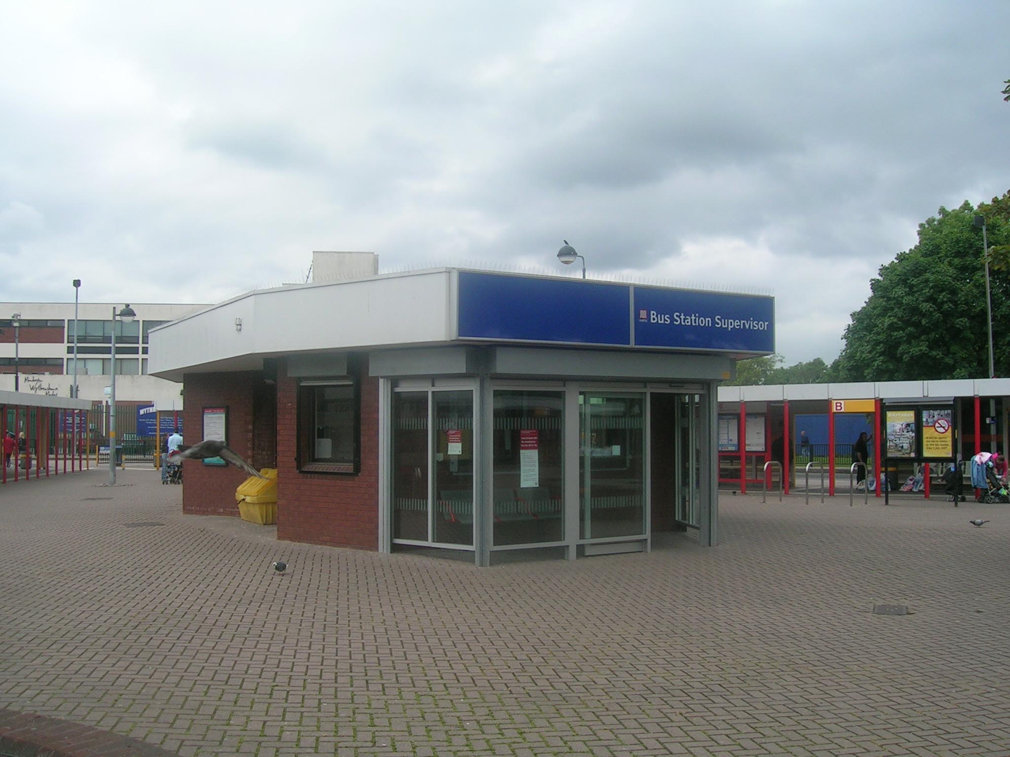
Wythenshawe bus station
Wythenshawe bus station serves the Wythenshawe area of Greater Manchester, England. The bus station was opened by the Greater Manchester Passenger Transport...

Shadowmoss tram stop
Shadowmoss is a tram stop on the Airport Line of the Manchester Metrolink which opened on 3 November 2014.The stop is one of the least used on the Metrolink...
Woodhouse Park tram stop
Woodhouse Park tram stop was a proposed Metrolink tram stop on the phase 3b plans to Manchester Airport. It was due to open in 2016 but was dropped from...

William Temple Memorial Church, Wythenshawe
William Temple Memorial Church is a parish church in Wythenshawe, Manchester, dedicated to the bishop William Temple. It is a Grade II listed building...

Crossacres tram stop
Crossacres is a tram stop for the Phase 3B Extension of Greater Manchester's Metrolink system. The stop is part of the Airport Line and is at the junction...
Nearby Amenities
Located within 500m of 53.375732,-2.250456Have you been to Ash Wood?
Leave your review of Ash Wood below (or comments, questions and feedback).