Birch Coppice
Wood, Forest in Staffordshire South Staffordshire
England
Birch Coppice
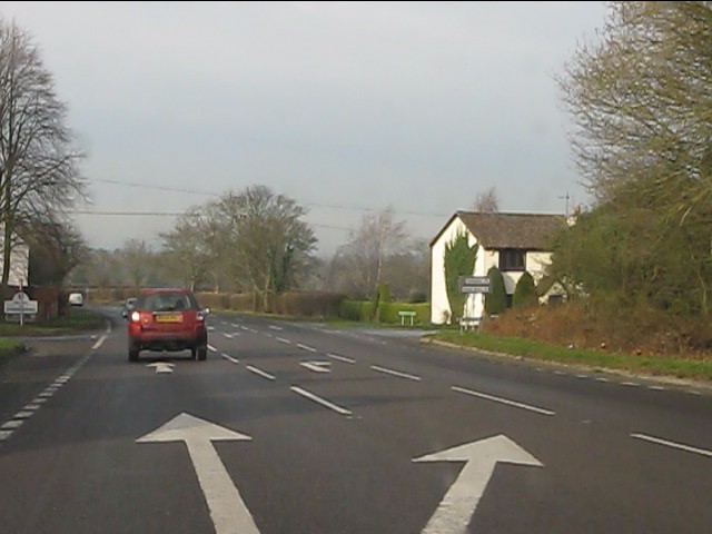
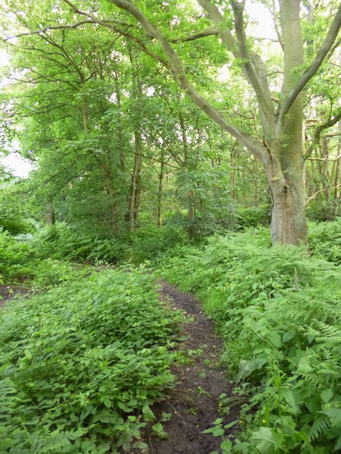
Birch Coppice, located in Staffordshire, is a stunning woodland area that covers a vast expanse of approximately 200 hectares. Situated near the town of Dordon, this woodland is known for its diverse range of trees, particularly the birch trees that lend their name to the area. The forest is part of the larger Birch Coppice Colliery, which was a former coal mine.
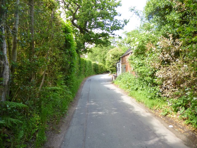
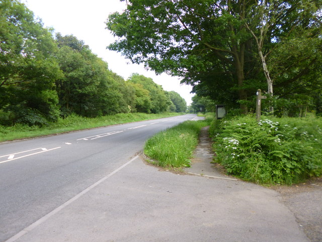
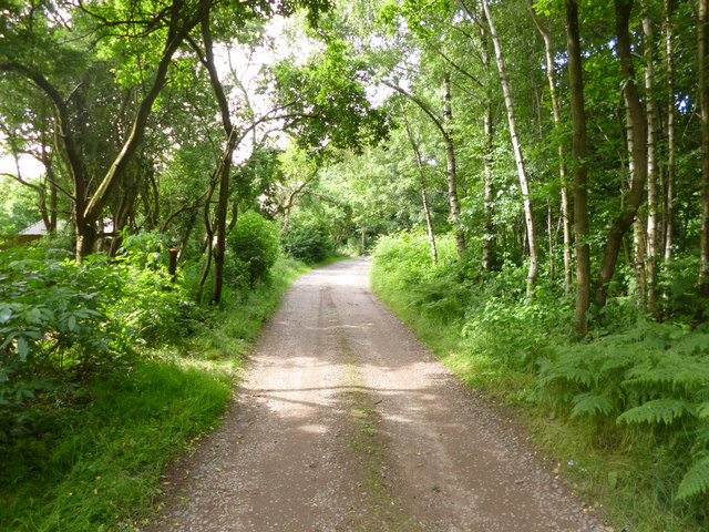
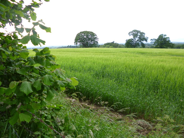
The woodland is a popular destination for nature enthusiasts, hikers, and families looking to escape the hustle and bustle of daily life. It is home to a rich variety of flora and fauna, with an array of native tree species such as oak, ash, and beech, creating a picturesque landscape. The birch trees, with their distinctive white bark, add a unique charm to the forest.
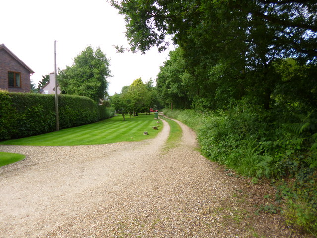
The pathways throughout the forest provide opportunities for leisurely walks and provide access to the many hidden gems within. Visitors can explore the winding trails that lead to serene ponds, where they might catch a glimpse of various waterfowl and other aquatic creatures. The woodland also features picnic areas, allowing visitors to enjoy the tranquility of nature while enjoying a meal.
Birch Coppice is not only a place of natural beauty but also holds historical significance. The area was once heavily mined for coal, and remnants of the mining industry can still be seen today. The colliery's former buildings and structures stand as a testament to the region's industrial past.
In conclusion, Birch Coppice in Staffordshire is a remarkable woodland that offers visitors a chance to immerse themselves in nature. With its diverse range of trees, tranquil ponds, and remnants of its industrial heritage, it provides a unique experience for all who venture within its boundaries.
If you have any feedback on the listing, please let us know in the comments section below.
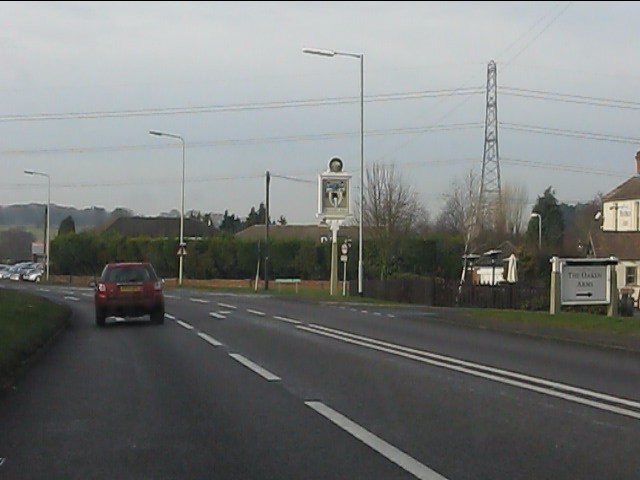
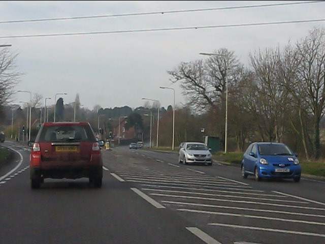
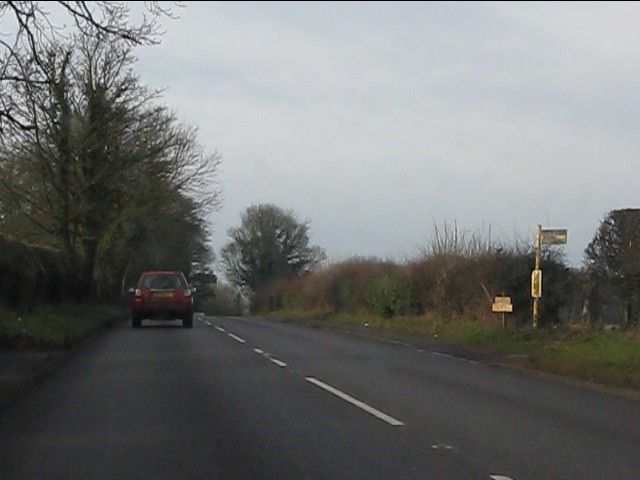
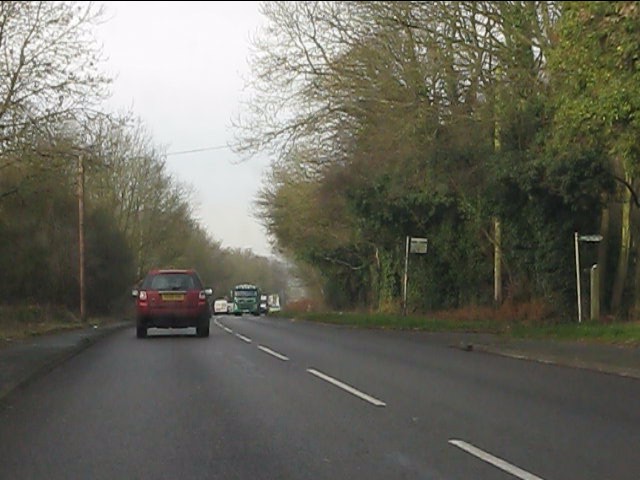
Birch Coppice Images
Images are sourced within 2km of 52.608035/-2.2469499 or Grid Reference SJ8301. Thanks to Geograph Open Source API. All images are credited.


Birch Coppice is located at Grid Ref: SJ8301 (Lat: 52.608035, Lng: -2.2469499)
Administrative County: Staffordshire
District: South Staffordshire
Police Authority: Staffordshire
What 3 Words
///handy.bells.invent. Near Pattingham, Staffordshire
Nearby Locations
Related Wikis
Wrottesley Hall
Wrottesley Hall is a 1923-built Grade II listed house in the civil parish of Perton, and historically part of Tettenhall in Staffordshire, England. The...

Oaken
Oaken is a small village in Staffordshire, England. The first mention of the Oaken place-name was in 1086 when it was listed in the Domesday book as Ache...
Nurton
Nurton is a hamlet in the South Staffordshire District, in the English county of Staffordshire. Nearby settlements include the city of Wolverhampton and...

Pattingham
Pattingham is a village and former civil parish, now in the parish of Pattingham and Patshull, in the South Staffordshire district, in the county of Staffordshire...

Boningale
Boningale is a village and civil parish in Shropshire, England. The village lies just south of Albrighton, and just west of the county border with Staffordshire...

Patshull
Patshull is a former civil parish, now in the parish of Pattingham and Patshull, in the South Staffordshire district, in the county of Staffordshire, England...

Patshull Hall
Patshull Hall is a substantial Georgian mansion house situated near Pattingham in Staffordshire, England. It is a Grade I listed building and by repute...
St Mary's Church, Patshull
St Mary's Church, Patshull, is a redundant Anglican church in the parish of Pattingham and Patshull, Staffordshire, England, and is situated near Patshull...
Nearby Amenities
Located within 500m of 52.608035,-2.2469499Have you been to Birch Coppice?
Leave your review of Birch Coppice below (or comments, questions and feedback).